뢰트겐에서 가장 멋진 20개의 천연기념물
천연기념물을 방문하여 뢰트겐의 아름다운 풍경을 만나보세요. 뢰트겐에 있는 20
개의 천연기념물과 상세 정보를 살펴본 후에 방문하고 싶은 천연기념물을 다음 모험 계획에 추가해보세요!
마지막 업데이트: 9월 2, 2026
스트루펠트 황무지 및 이탄 습지 자연보호구역
하이라이트 • 자연
번역자 Google •
팁에 의해

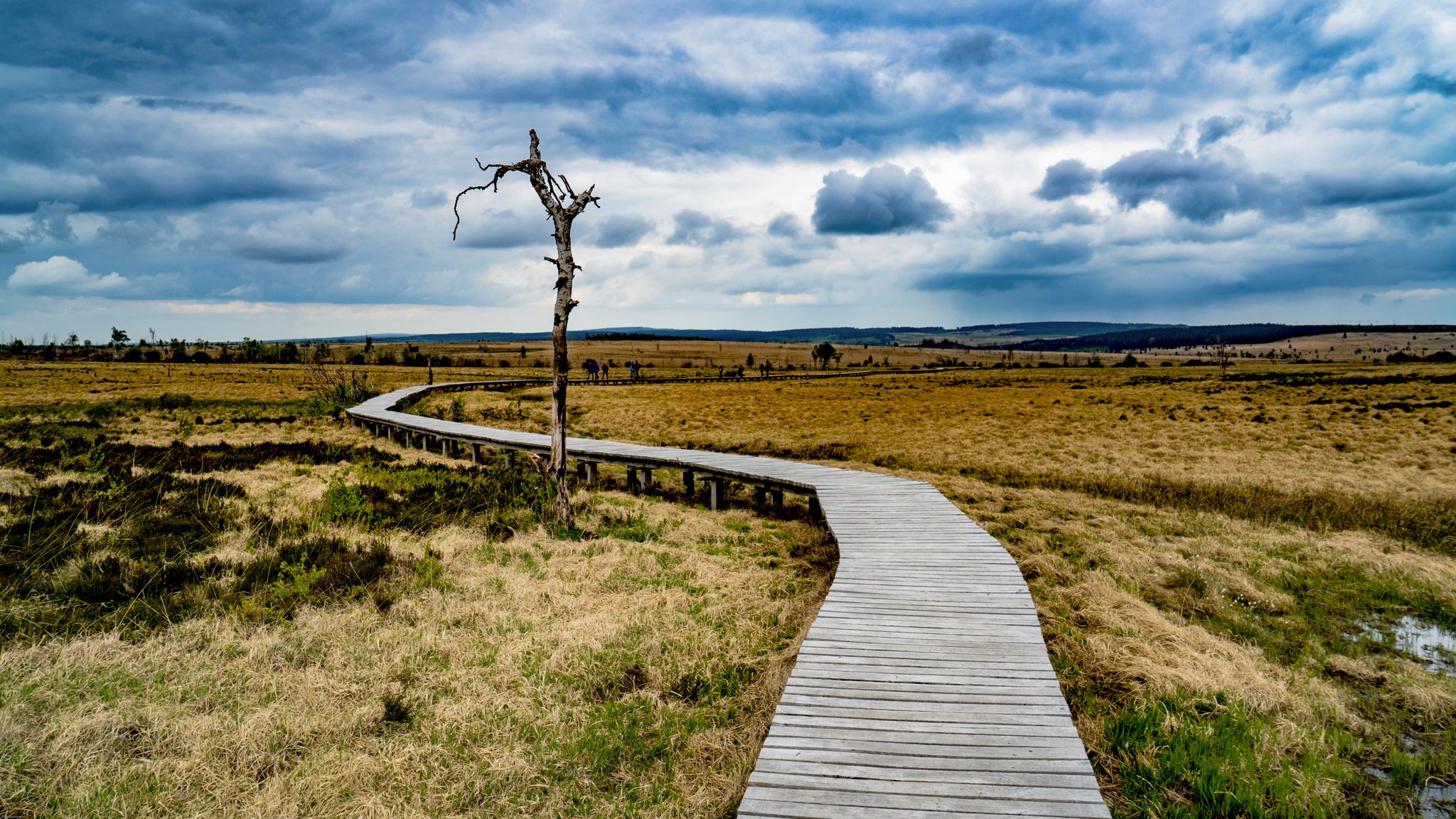
호헤스 벤 습지를 가로지르는 나무 데크길
하이라이트 • 트레일
번역자 Google •
팁에 의해
이런 장소를 발견하려면 지금 가입하세요
최고의 싱글 트랙, 봉우리 및 다양한 흥미로운 야외 장소에 대한 추천을 받아보세요.

Perlenau 위 능선길
하이라이트 (구간) • 트레일
번역자 Google •
팁에 의해

오늘 무료 계정으로 시작하세요
다음 모험이 기다리고 있어요.
뢰트겐 주변 인기 장소
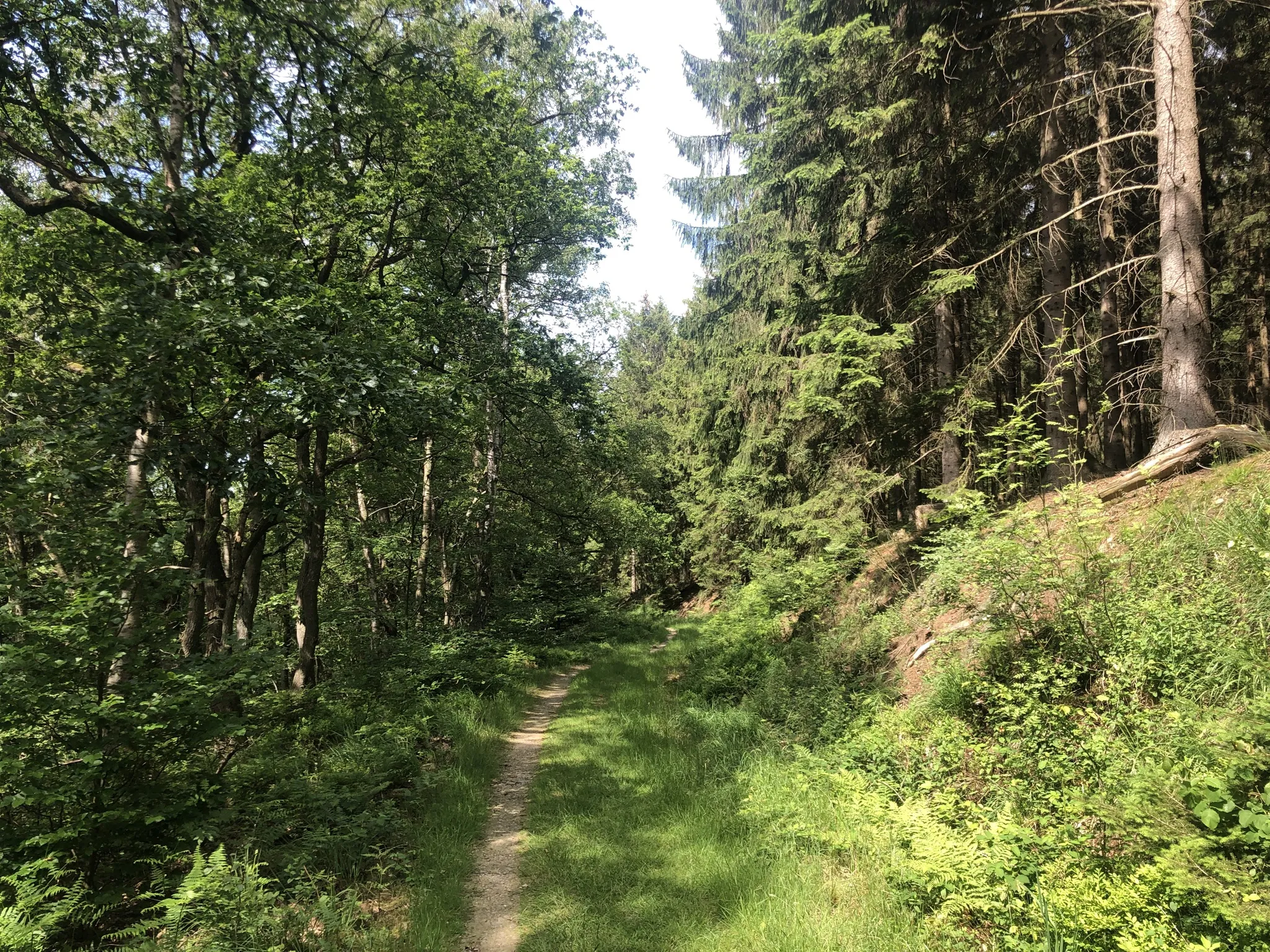
호일 마스타 제도 - 토리를-아이루 6 수다
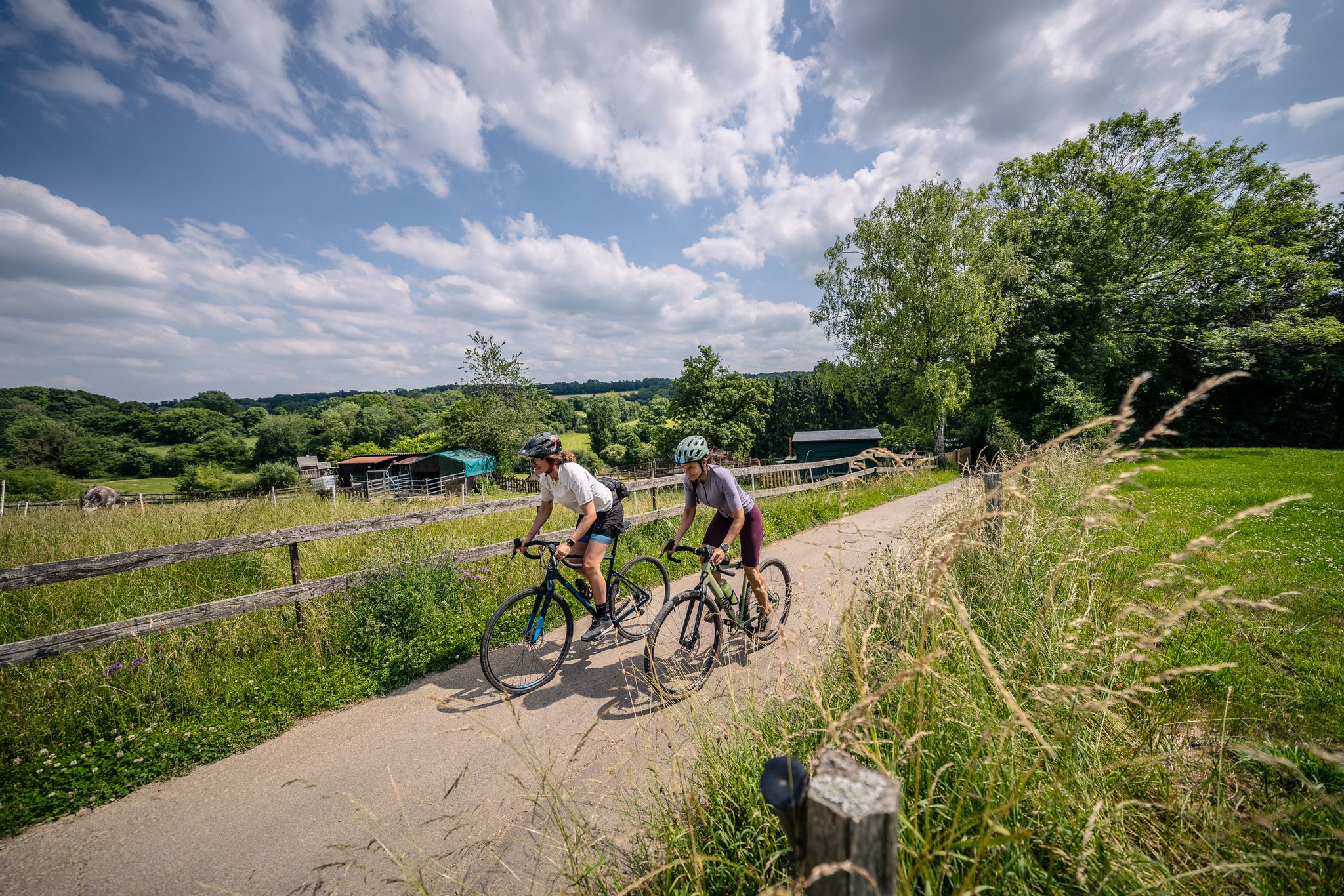
Gravel at its finest – rides around Aachen
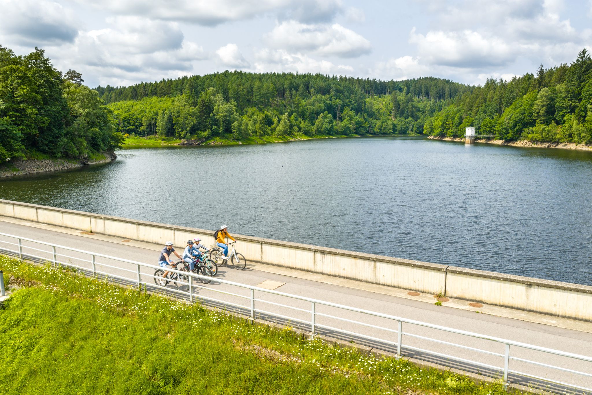
Aachen Time Loops – cycling from the past to the future
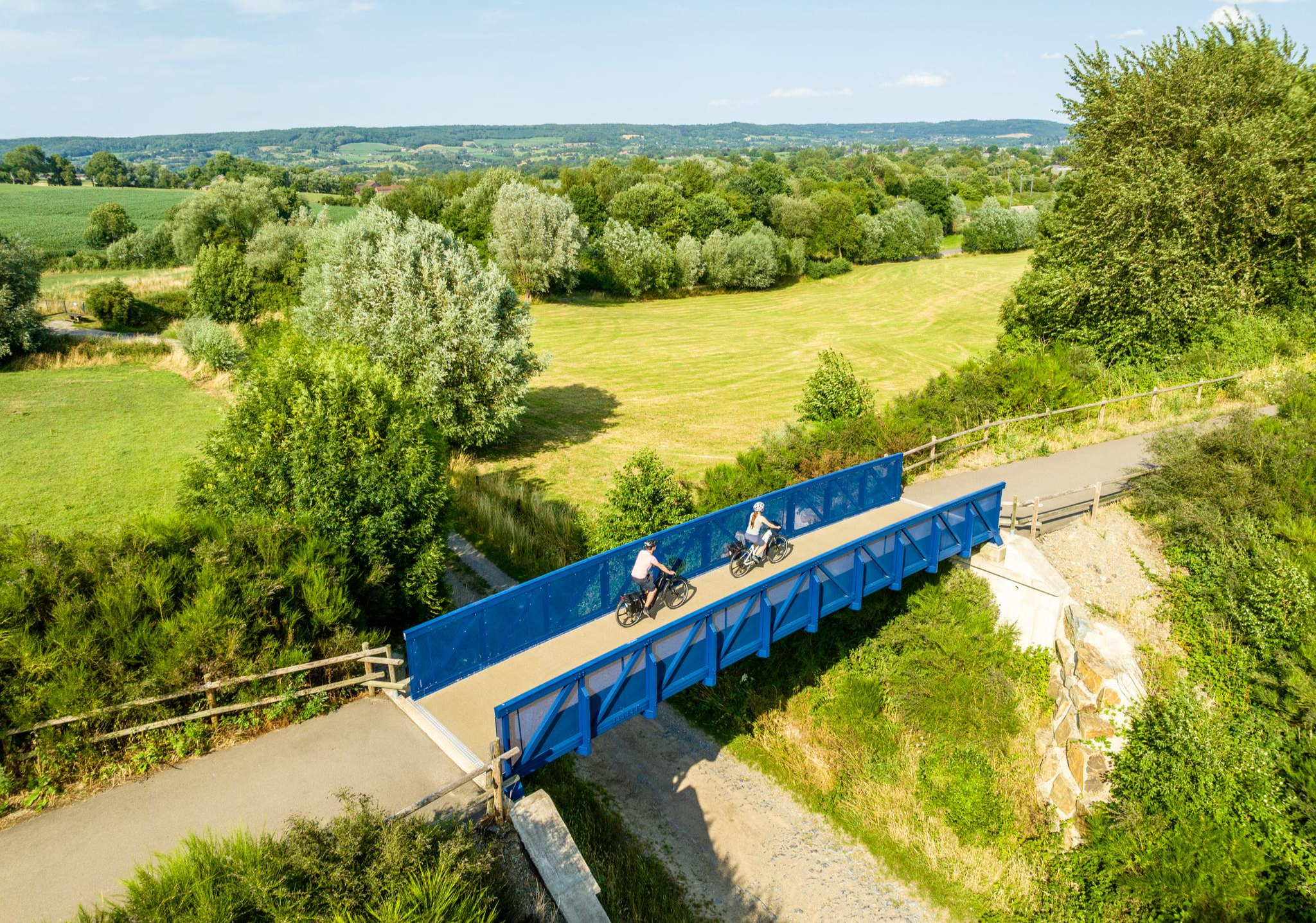
Three countries, one experience – borderless cycling in the Aachen region
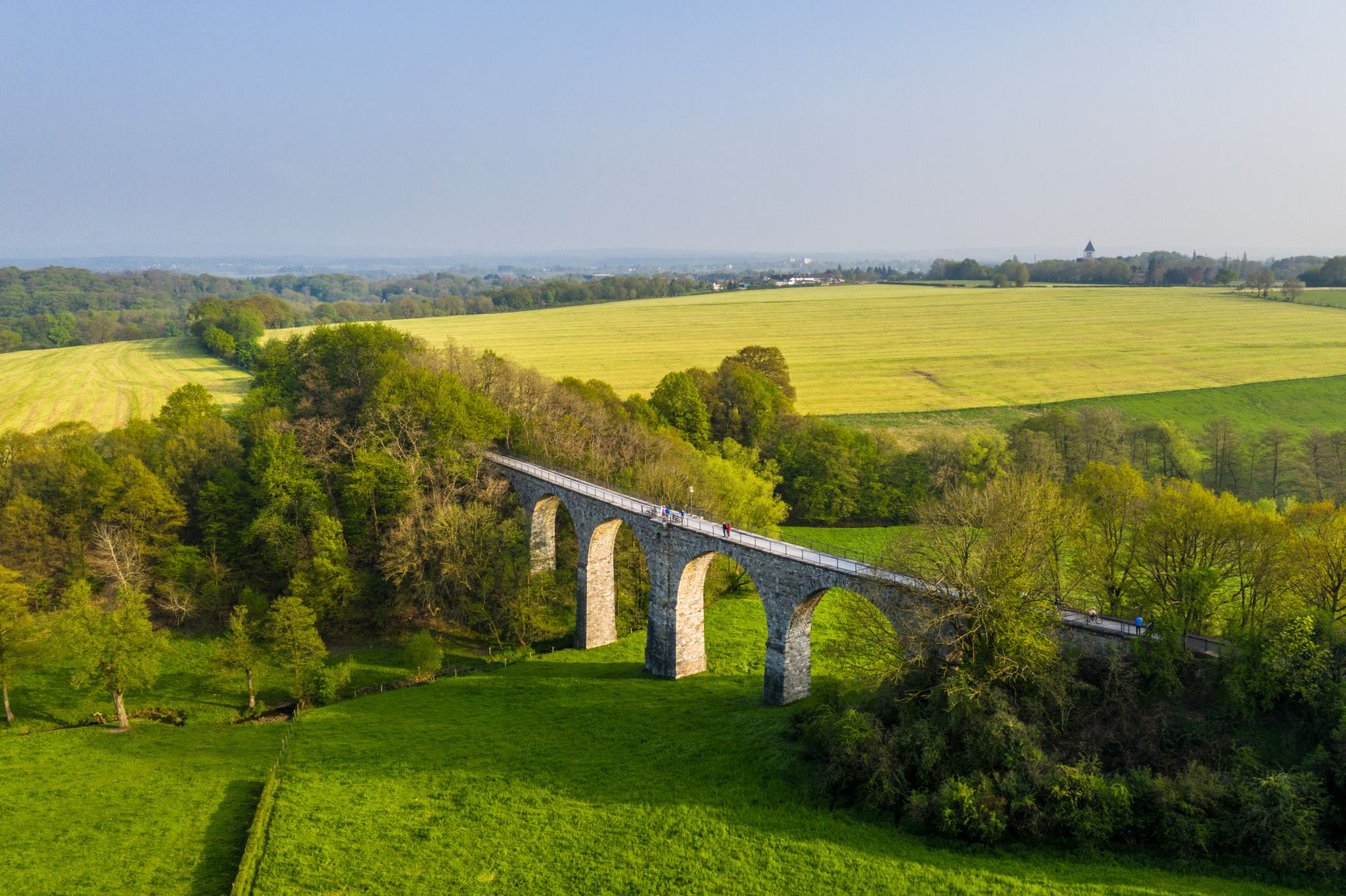
Cycling the tracks of the Vennbahn – the Vennbahnschleifen
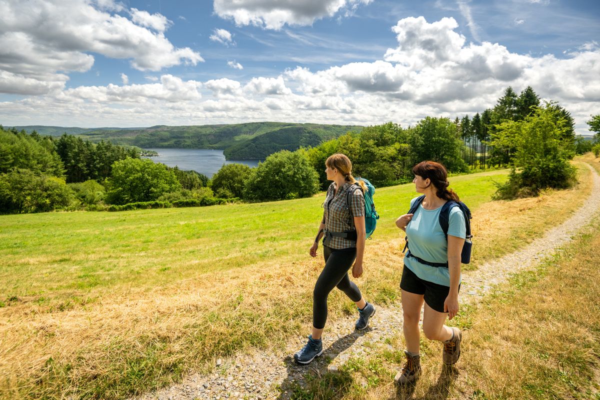
Shaped by rock and water – hikes in the Rureifel region
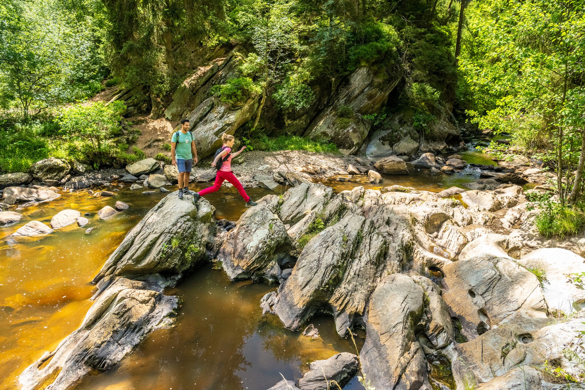
The Eifelsteig's 8 partner trails in Aachen region
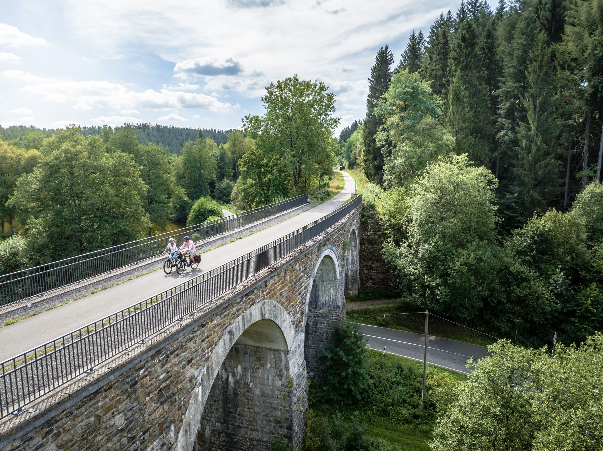
Fens, forests and water – cycling Tours in the Rur Eifel Region
Leisure Tours on enchanted paths – hiking in East Belgium

Volcanoes, water, forest – the partner trails of the Eifelsteig
뢰트겐 주변의 다른 모험


커뮤니티 팁

At this point there is a larger moor lake, which makes a nice photo motif, especially in fog. Above this, this moor lake is regularly visited by waterfowl such as wild ducks. If there are few people on the jetties and you approach the lake(s) quietly, there is a high probability that the animals will not be startled and scared away.
45
1
The peat that can be found everywhere in the bog and fen areas is the result of a process of incomplete decomposition. Usually, dead plants are gradually decomposed by small animals (such as earthworms), bacteria and fungi. This process applies to well-drained soils. On impervious acidic soils that do not contain many bacteria and in humid climates, plants such as peat moss are only partially decomposed. Their superimposition forms the peat layer. This peat layer can be up to 7 m in certain places here in the Brackvenn. 1 mm layer of peat takes 1 year to form. With a peat layer of 7 m, for example, we are talking about a period of 7,000 years.
51
1
Anyone who sees the beauty of the raised and low moors will never be able to let it go. The colors of the landscape, indeed the entire appearance of the High Fens, change dramatically every season. Even in winter - a breathtakingly beautiful landscape.
56
1
What is often called a lake in the Fens is often e.g. Palsas. The palsen or pingos in the High Fens were formed around 10,000 to 11,000 years ago at the end of the last ice age. When the ground froze deep down during the cold winters of the Ice Age, the wet ground expanded and frost mounds developed. Over the years these mounds grew and the soil material that was on top slid down the sides of the mounds and over time formed a ring-shaped wall around the mound of frost. With the end of the ice age, the ice melted, the frost mound sagged and the wall was preserved. The water in the middle is called bog scour or bog eye. Source: euregio-im-bild.de/fotos/palsen-im-brackvenn-bei-m-tzenich.html
65
1

What a unique landscape! Warning: hiking in the High Fens can be addictive :-)
14
0

Unfortunately, the third of the above tours (Struffelt nature reserve - view of the Runde von Roetgen reservoir, 9.46 km) is currently (04/30/22) not accessible. The parking lot is closed and the path from the parking lot is not hikeable due to numerous large fallen trees 😱🙁. So it's no use starting this tour from the nearest car park - the Kleebendbrücke hikers' car park.
4
0

매우 아름다운 히스-습지 자연보호구역입니다. 이 자연보호구역은 집중적인 양 방목으로 형성된 오래된 문화 지역이며, 현재 보존되어야 합니다. 가을에는 피어나는 히스가 절대적인 시선을 사로잡습니다. 자작나무와 부분적으로 압도적인 고사리와의 조합이 매우 아름답습니다. 습지를 통과하는 길은 나무 판자로 된 길입니다.
4
0

The Fagnes are breathtakingly beautiful at any time of the year. You really have to have been here once.
14
0
뢰트겐 주변에서 가장 인기 있는 명소


더 살펴보기
뢰트겐 주변의 최고의 동굴을 찾기 위해 이 가이드를 확인해보세요:
