제바흐에서 가장 멋진 20개의 산 정상
Seebach 주변의 최고의 산봉우리들은 독일 북부 검은 숲의 기후 휴양지에 자리하고 있습니다. 검은 숲 국립공원의 일부인 이 지역은 높은 습지와 울창한 숲을 포함한 다양한 자연 경관을 자랑합니다. 독특한 지질 구조와 탁 트인 전망을 특징으로 하는 높은 지형을 가로지르는 다양한 하이킹 기회를 제공합니다.
Seebach 주변 최고의 산봉우리
- 가장 인기 있는 산봉우리는 비스마르크 타워, 호르니스그린데로, 인공 기념물입니다. 라인강 평원과 높은 습지 풍경을 조망할 수 있습니다.
- 또 다른 꼭 봐야 할 명소는 바데너 회헤의 프리드리히 타워로, 전망대입니다. 방문객들은 168개의 계단을 올라…
마지막 업데이트: 10월 11, 2026
비스마르크탑 호르니스그린데
하이라이트 • 기념물
번역자 Google •
팁에 의해

호르니스그린데에서 바라본 라인 계곡 전망
하이라이트 • 전망대
번역자 Google •
팁에 의해

이런 장소를 발견하려면 지금 가입하세요
최고의 싱글 트랙, 봉우리 및 다양한 흥미로운 야외 장소에 대한 추천을 받아보세요.
바데너회 프리드리히투름
하이라이트 • 전망대
번역자 Google •
팁에 의해

부흐코프탑 오펜나우
하이라이트 • 전망대
번역자 Google •
팁에 의해

무료로 가입하여 제바흐 주변의 더 많은 봉우리를 발견하세요.
이미 komoot 계정이 있나요?
오늘 무료 계정으로 시작하세요
다음 모험이 기다리고 있어요.
제바흐 주변 인기 장소
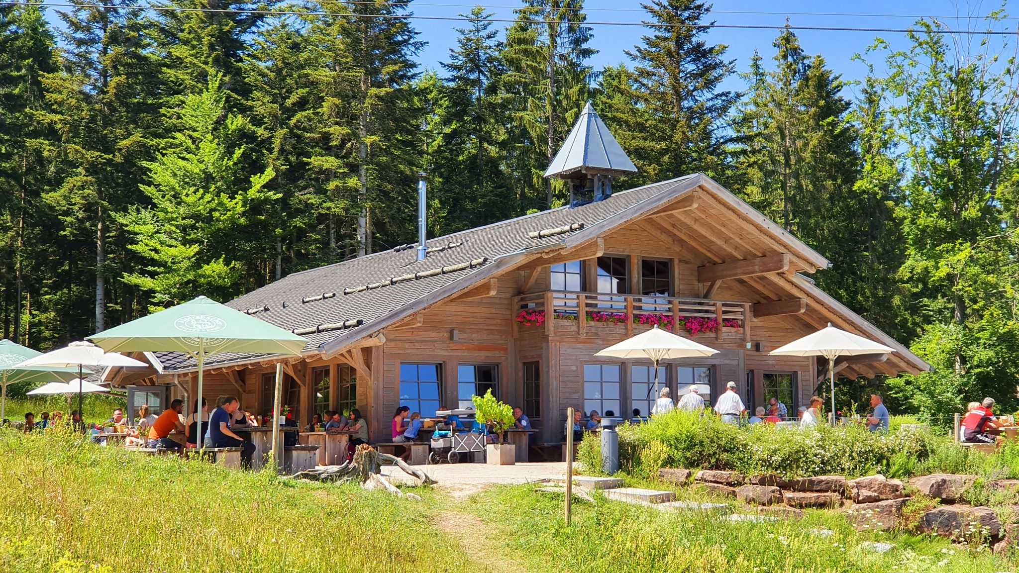
The Black Forest’s huts – moments of enjoyment & relaxation in the forest
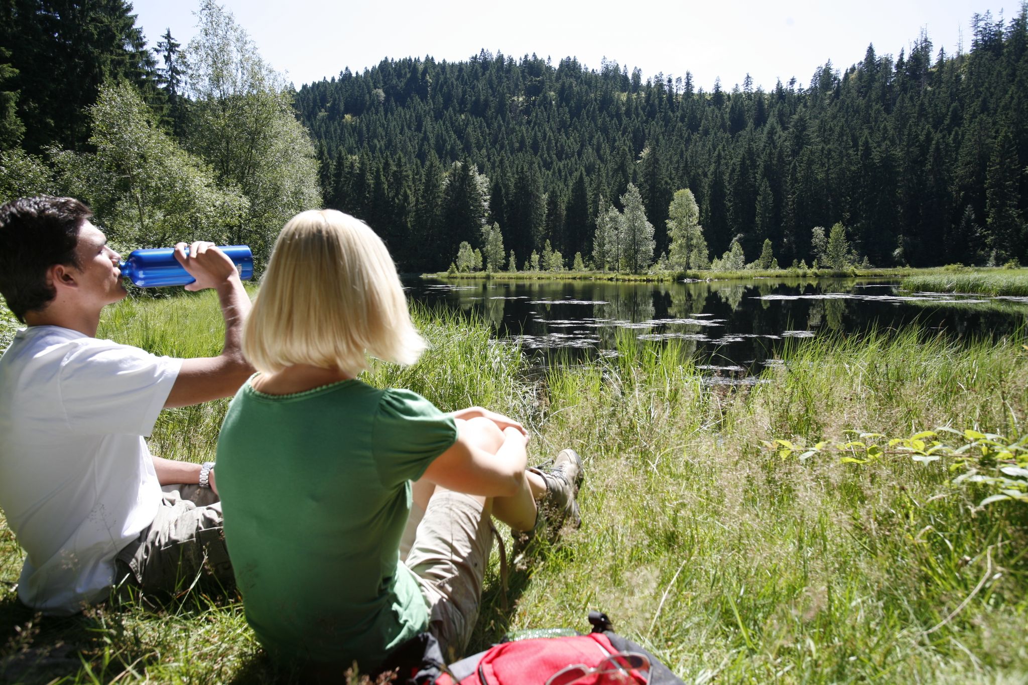
하이킹 천국을 통해 독일 바이에르스브론의 죨라일 트레일 - 블랙 포레스트

Coolcation in the Black Forest – hiking and cooling off in summer
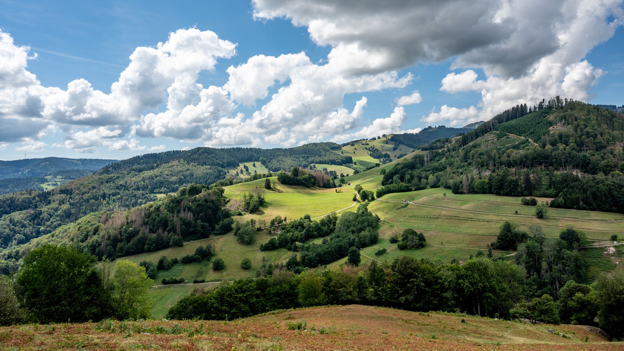
바덴-뷔르템베르크의 국가 자연 풍경
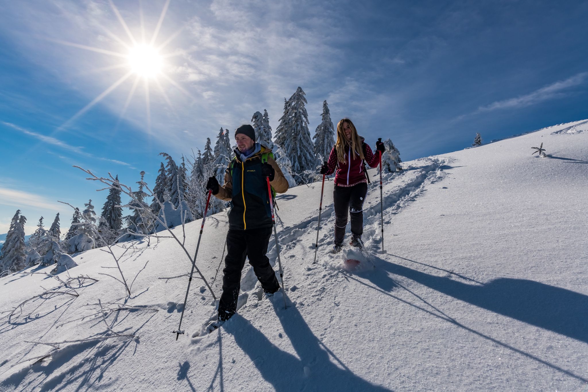
The Forest in its white dress – snowshoe Tours in the Black Forest
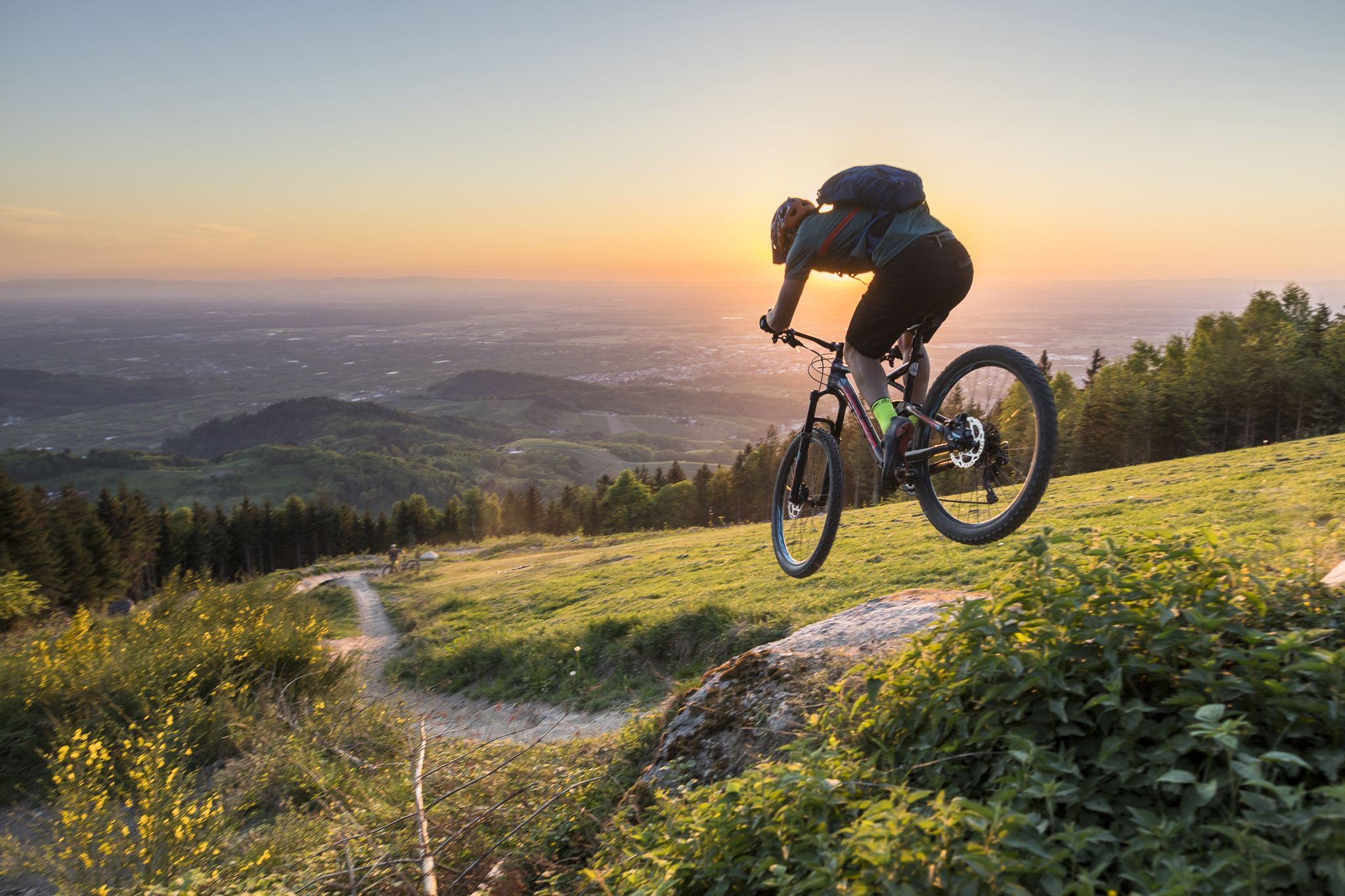
MTB flow in BW! Trails from the Schwarzwald to the Odenwald
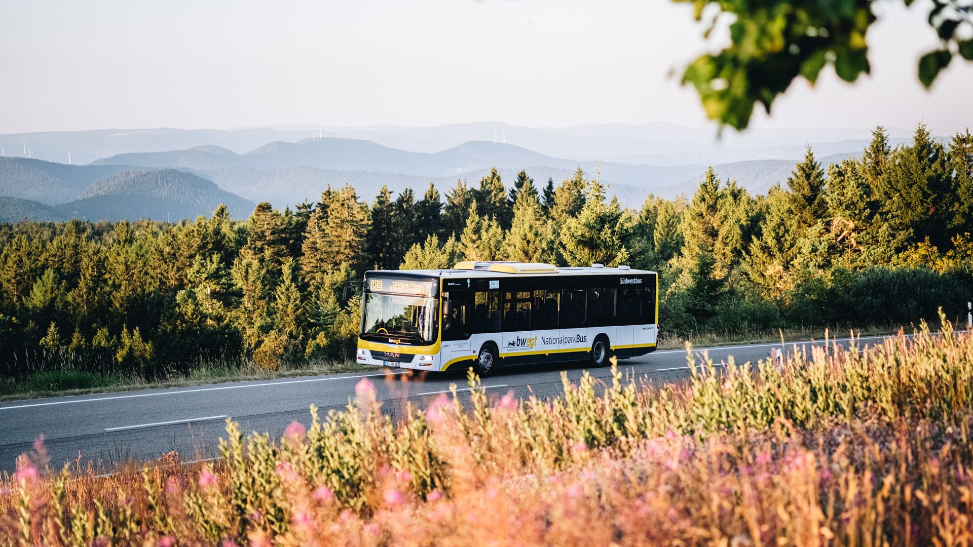
Pure nature: discover the Black Forest by bus and train
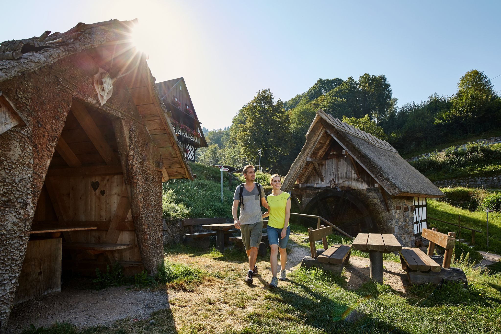
The best in the south: premium and quality hikes in Baden-Württemberg
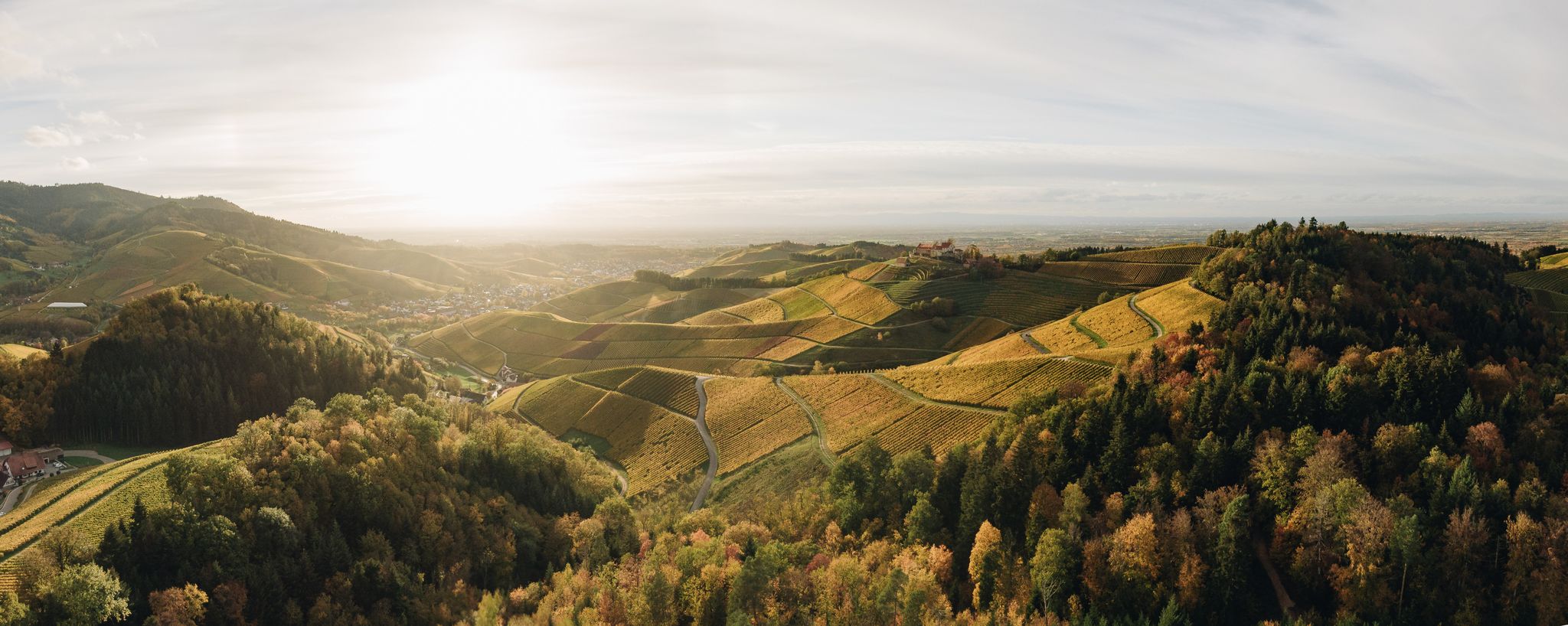
On the trail of pleasure — selected foodie trails in the Black Forest
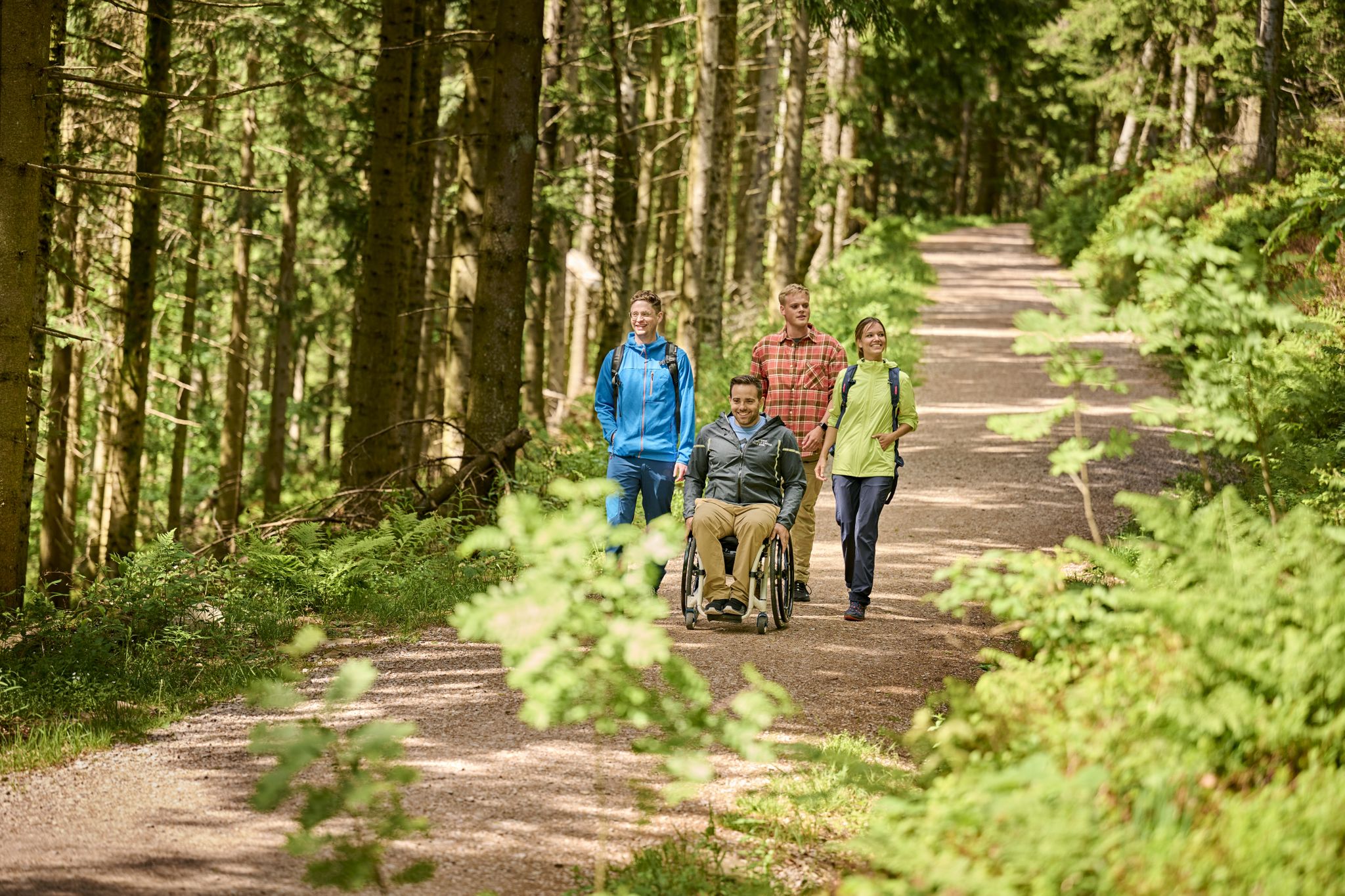
Accessible hiking routes in Baden-Württemberg
제바흐 주변의 다른 모험


커뮤니티 팁

Due to structural inspections and repair work, the Buchkopfturm Oppenau will be closed for an indefinite period from October 18, 2024. Entry is strictly prohibited during the closure!
14
0

The Schliffkopf is a 1055.8 m above sea level[1] mountain in the northern Black Forest. The Schliffkopf is located on the Black Forest High Road in the Black Forest National Park, between Baiersbronn, Ottenhöfen and Oppenau, and is the location of a four-star wellness hotel of the same name, the National Park Hotel Schliffkopf.[2] Several long-distance hiking trails, including the Westweg, lead over the Schliffkopf. At the end of June 2003, the Lotharpfad storm-throw adventure trail was opened at the Schliffkopf. Along an 800-meter-long educational and adventure trail on a ten-hectare storm-throw area, visitors can watch how the storm area, which was torn down by the hurricane Lothar in 1999, is gradually being repopulated. The Lotharpfad leads over footbridges, ladders and stairs and shows how natural forces work, how nature deals with such an area and what regenerates on its own. The Schliffkopf is the source of the Acher and Murg rivers.
9
1

A cross marks the highest point. There is no direct summit.
16
0

Great view from the plateau at the Grindehütte into the Rhine Valley.
14
0

Brilliant view and brilliant sunsets
12
0

Super great tour with beautiful views... suitable for beginners
11
1

Schliffkopf 1055 meters with a great view and seating
9
0
Schliffkopf summit cross with a great view and seating
11
0


더 살펴보기
이 가이드를 통해 제바흐 주변의 더 놀라운 정상들을 확인해보세요:
