경로플래너기능업데이트
App
로그인 또는 가입
앱 다운로드
로그인 또는 가입
경로
Places to see
Mountain passes
독일
바이에른
스와비아
알고이
오버랄가우

오버요흐

오버요흐‬에서 가장 멋진 ‪20‬개의 산길

오버요흐에서 가장 멋진 산길을 아래에서 살펴보세요. 풍경을 감상하기에도 좋고, 오르막길/내리막길을 따라 걷기에도 좋은 곳이랍니다. 커뮤니티가 특별 도움을 통해 공유한 콘텐츠인 만큼 믿을 수 있는 정보이니 마음에 드는 산길이 있다면 바로 다음 모험 계획에 추가해서 바로 방문해보세요.

마지막 업데이트: 11월 9, 2026

브라이텐베르크 정상

하이라이트 • 정상

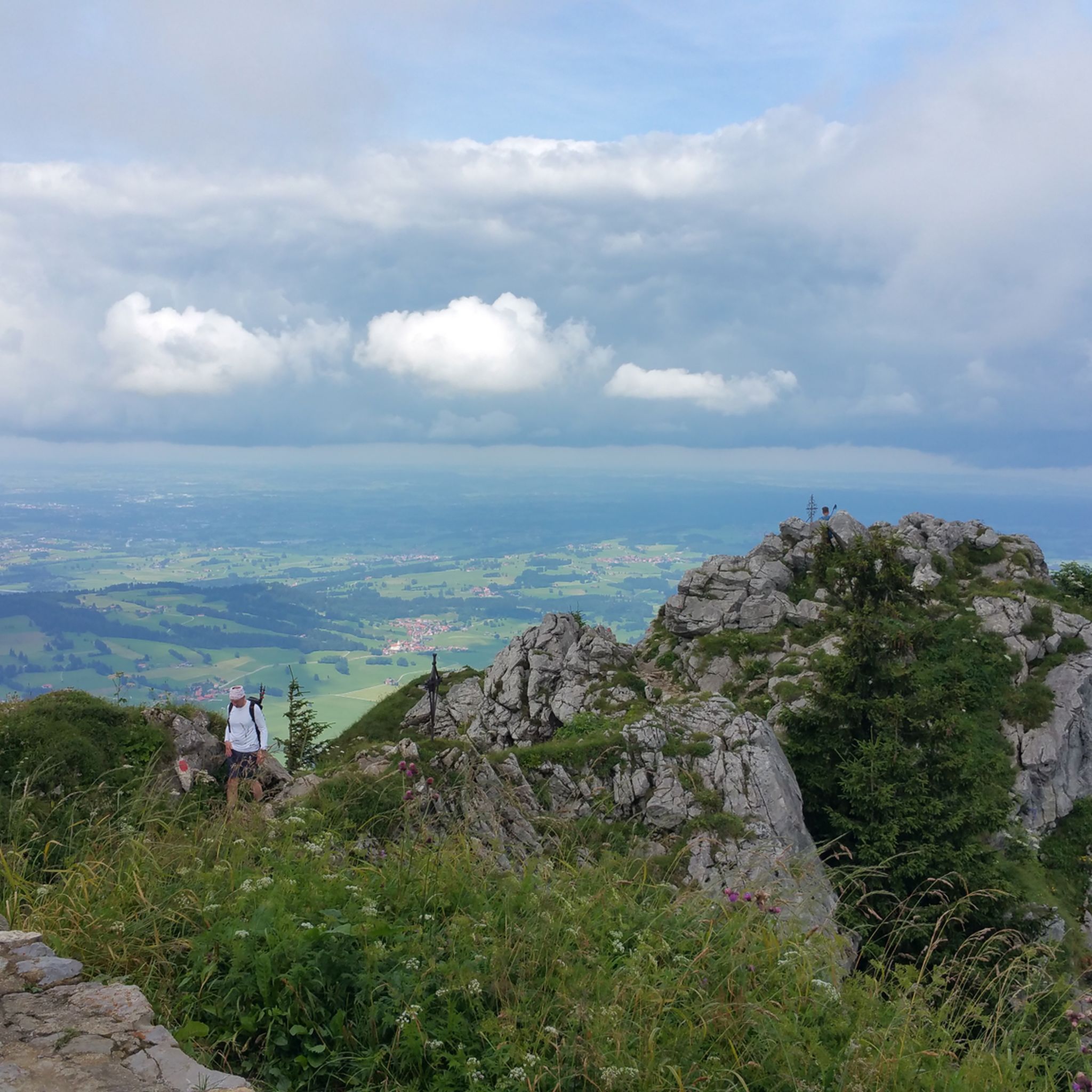
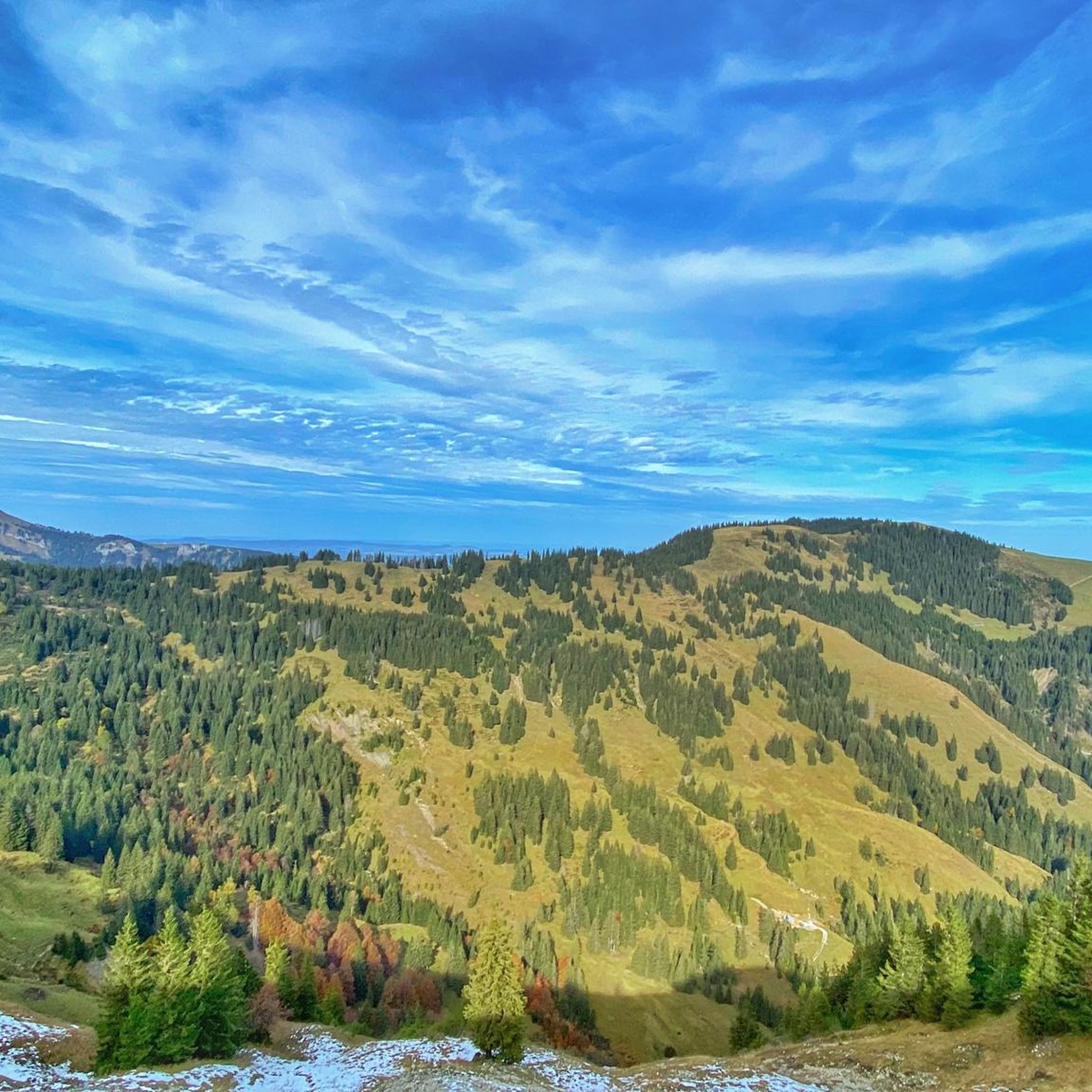
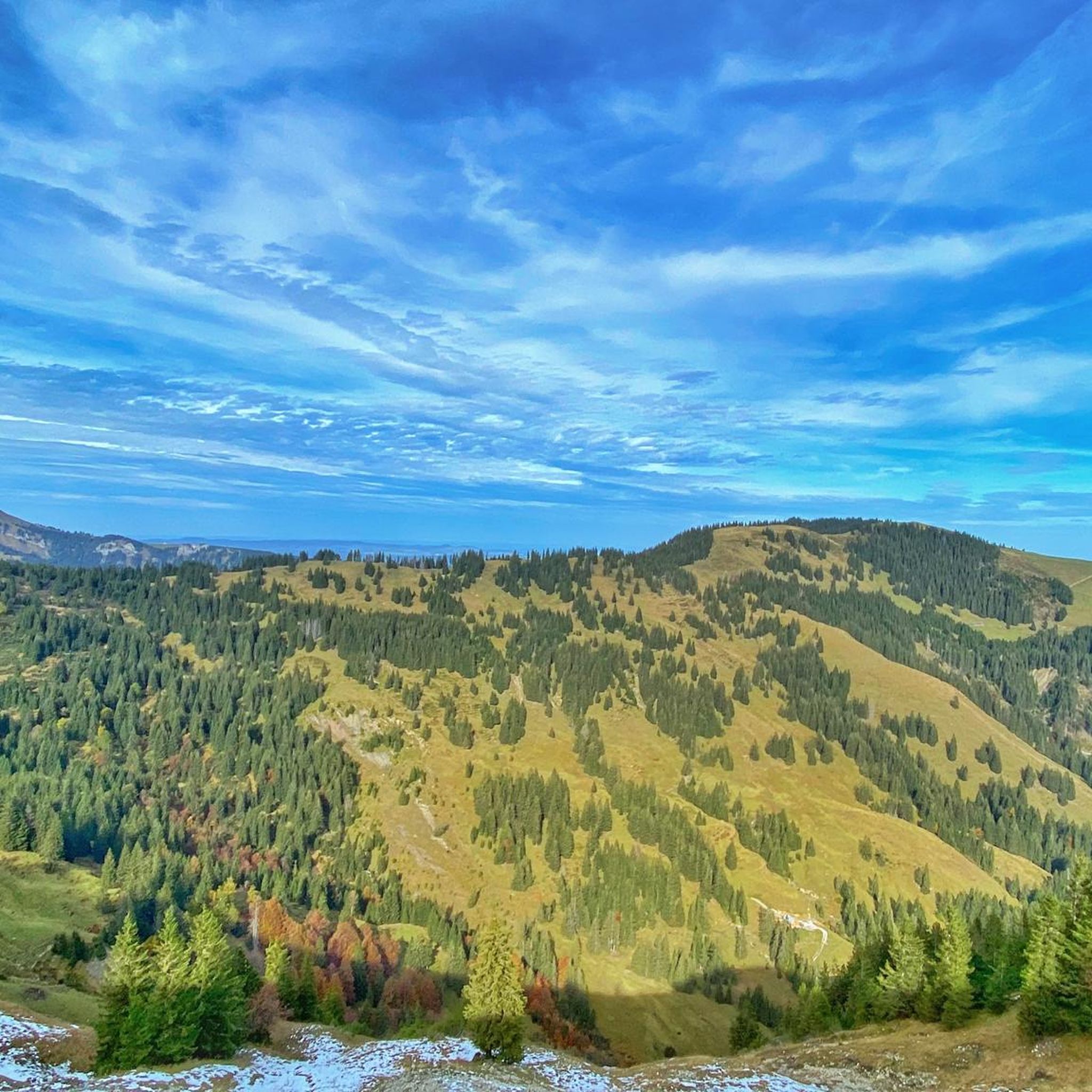
From the Breitenberg you have a sensational all-round view of the Allgäu Alps. On a clear day, according to the Ostlerhütte waitress, you can see as far as Lake Constance.

번역자 Google •

팁에 의해

하이킹 보기휴대폰으로 전송
저장

Bschiesser

하이라이트 • 정상

From the Iseler side, the Bschießer is relatively easy to climb; from the Ponten, it becomes a bit more alpine. Evil tongues claim that the mountain isn't actually more than 2,000 meters high and is therefore a Bscheißer. :D

번역자 Google •

팁에 의해

저장

이런 장소를 발견하려면 지금 가입하세요

최고의 싱글 트랙, 봉우리 및 다양한 흥미로운 야외 장소에 대한 추천을 받아보세요.

무료 회원 가입

탄하임 산맥 전망

하이라이트 • 전망대

... is traversed by the Vils and pleases with well-developed bike paths.

번역자 Google •

팁에 의해

저장

오버요흐패스

하이라이트 (구간) • 산악 고개

Nice, steady gradient... Well-maintained and sometimes quite busy.
A popular pass for road cyclists and, of course, motorcyclists too! :-)

번역자 Google •

팁에 의해

저장

이젤러반 산악역

하이라이트 • 휴식 공간

From the station to the summit, it is still a piece that requires some surefootedness.

번역자 Google •

팁에 의해

저장

무료로 가입하여 오버요흐 주변의 더 많은 산악 고개를 발견하세요.

무료 회원 가입

이미 komoot 계정이 있나요?

오늘 무료 계정으로 시작하세요

다음 모험이 기다리고 있어요.
로그인 또는 가입하기

오버요흐 주변 인기 장소

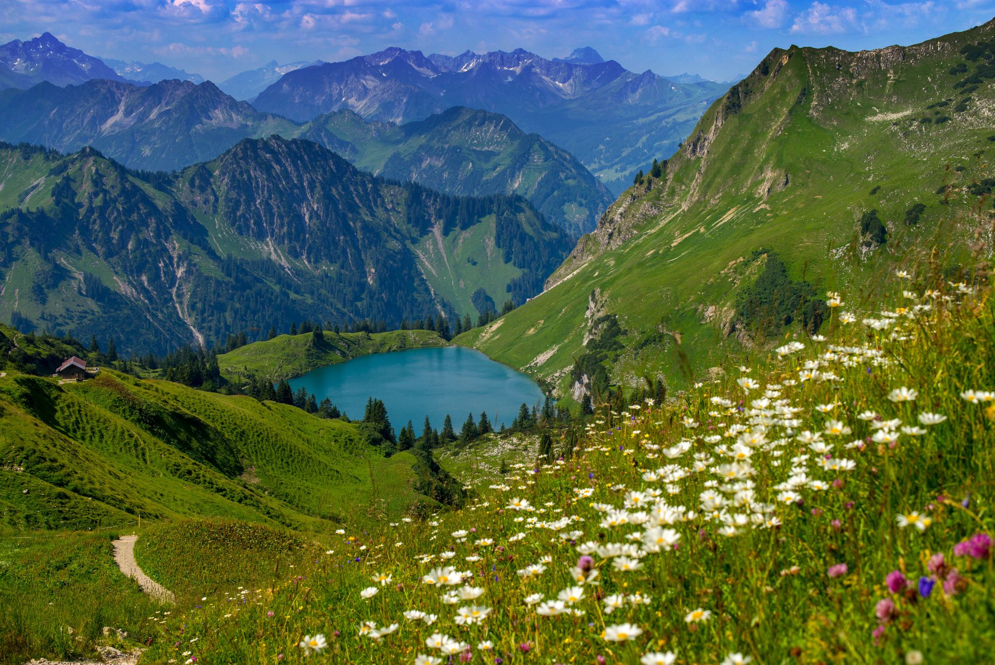
Bergwiesen im Allgäu – 8 Wanderungen über blühende Alpen

오버요흐 하이킹

오버요흐 로드 사이클링 경로

오버요흐 등산

오버요흐 MTB 트레일

오버요흐 사이클링

오버요흐 러닝 트레일

오버요흐 주변 그래블 라이딩

오버요흐 주변의 다른 모험

Bergwiesen im Allgäu – 8 Wanderungen über blühende Alpen

하이킹 컬렉션 에 의해

Allgäuer Büble Bier

커뮤니티 팁

Gerhard Hatlapa
11월 14, 2025, View of the Tannheim Mountains

Start in Grän and always follow the signs for MTB Tour Adlerhorst.

번역: Google•

1

0

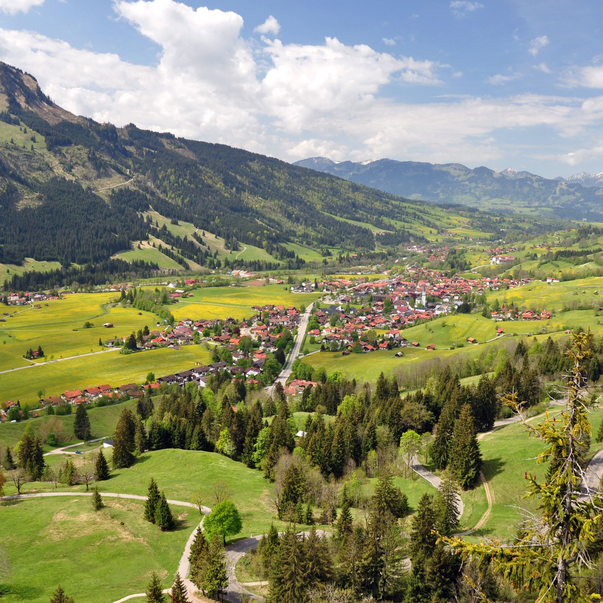
The Tannheimer Valley is so versatile and offers almost countless opportunities for many activities

번역: Google•

0

0

Great area for cycling 🤙

번역: Google•

3

0

The steep gravel path up is torture, but the view is worth it.

번역: Google•

4

0

The Tannheimer Valley is worth a visit at any time of year. In summer it is especially fun to visit by bike.

번역: Google•

4

0

Very nice view, well signposted / developed cycle paths :)

번역: Google•

4

0

This view is simply beautiful!

번역: Google•

4

0

The 1838 meter high Breitenberg near Pfronten is a relatively easy mountain to climb, and from the summit it offers a beautiful view down into the Allgäu. Several paths of varying steepness lead up in 2 - 2.5 hours, a complete crossing takes about 5 hours. An easy and long path starts on the west side north of the German-Austrian border. It is even easier to take the cable car to the saddle between Breitenberg and Aggenstein. The Ostlerhütte is right on the summit. On the steep north side is the Tirolerstadl and behind it a challenging path to the summit. In winter there is a ski area on the Breitenberg. Source: https://allgaeu-erleben.com/0404-breitenberg.php

번역: Google•

4

0

오버요흐 주변에서 가장 인기 있는 경로

오버요흐 하이킹

오버요흐 주변에서 가장 인기 있는 명소

Natural Monuments

Store rating

komoot 모바일 앱으로 영감을 받아보세요

무료 komoot 계정로 끝없는 야외 모험을 손쉽게 찾고, 맞춤 설정하며 길안내할 수 있어요.

또는

지금 komoot에 가입하세요
Store rating

더 살펴보기

이 가이드를 통해 더 많은 장대한 산악 통과를 확인해보세요 오버요흐 주변:

오버스트도르프베르타흐나쁜 힌델랑발데르슈방자연 공원 Allgäuer Hochalpen피셴 임 알고이블라이하흐오버마이젤슈타인손토펜오프터슈방볼스터랑부르크베르크 임 알게우레텐베르크군제리드오버스타우펜임멘슈타트 임 알게우스타이비스오이-미텔베르그Hoher Ifen발텐호펜

근처 어드벤처 가이드

나쁜 힌델랑 즐길거리

background

새로운 정복을 위한 준비를 하세요

무료로 가입하기
탐험하기
경로경로 플래너기능바우처 사용하이킹MTB 트레일로드 사이클링 경로바이크패킹사이트맵
앱 다운로드
소셜 미디어에서 팔로우하기

© komoot GmbH

개인 정보 보호 정책