발텐호펜에서 가장 멋진 1개의 산길
발텐호펜에서 가장 멋진 산길을 아래에서 살펴보세요. 풍경을 감상하기에도 좋고, 오르막길/내리막길을 따라 걷기에도 좋은 곳이랍니다. 커뮤니티가 특별 도움을 통해 공유한 콘텐츠인 만큼 믿을 수 있는 정보이니 마음에 드는 산길이 있다면 바로 다음 모험 계획에 추가해서 바로 방문해보세요.
마지막 업데이트: 9월 28, 2026

Schmidsreute 오르막길
하이라이트 (구간) • 등반
번역자 Google •
팁에 의해

이런 장소를 발견하려면 지금 가입하세요
최고의 싱글 트랙, 봉우리 및 다양한 흥미로운 야외 장소에 대한 추천을 받아보세요.


Kranzegger Steige
하이라이트 • 산악 고개
번역자 Google •
팁에 의해

오늘 무료 계정으로 시작하세요
다음 모험이 기다리고 있어요.
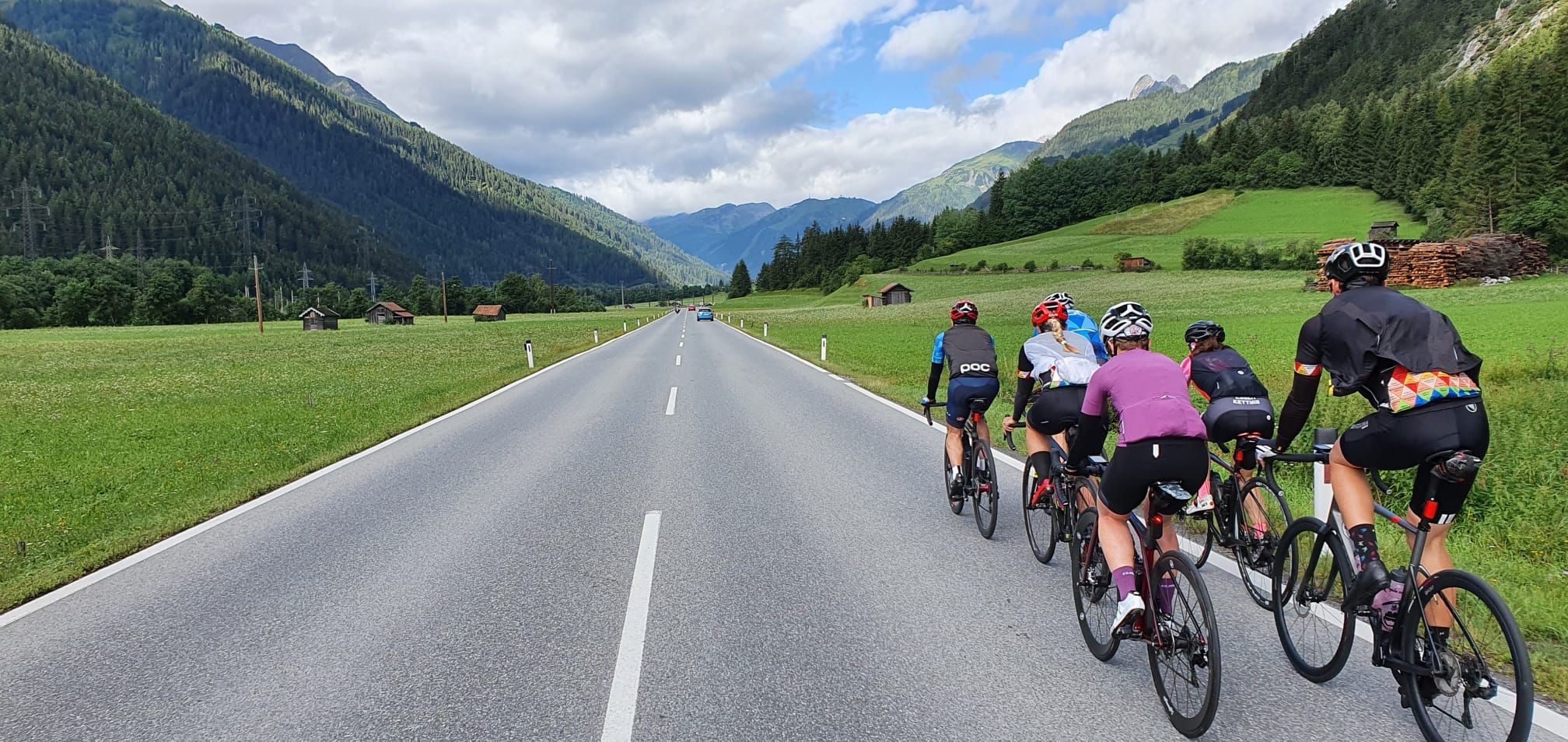
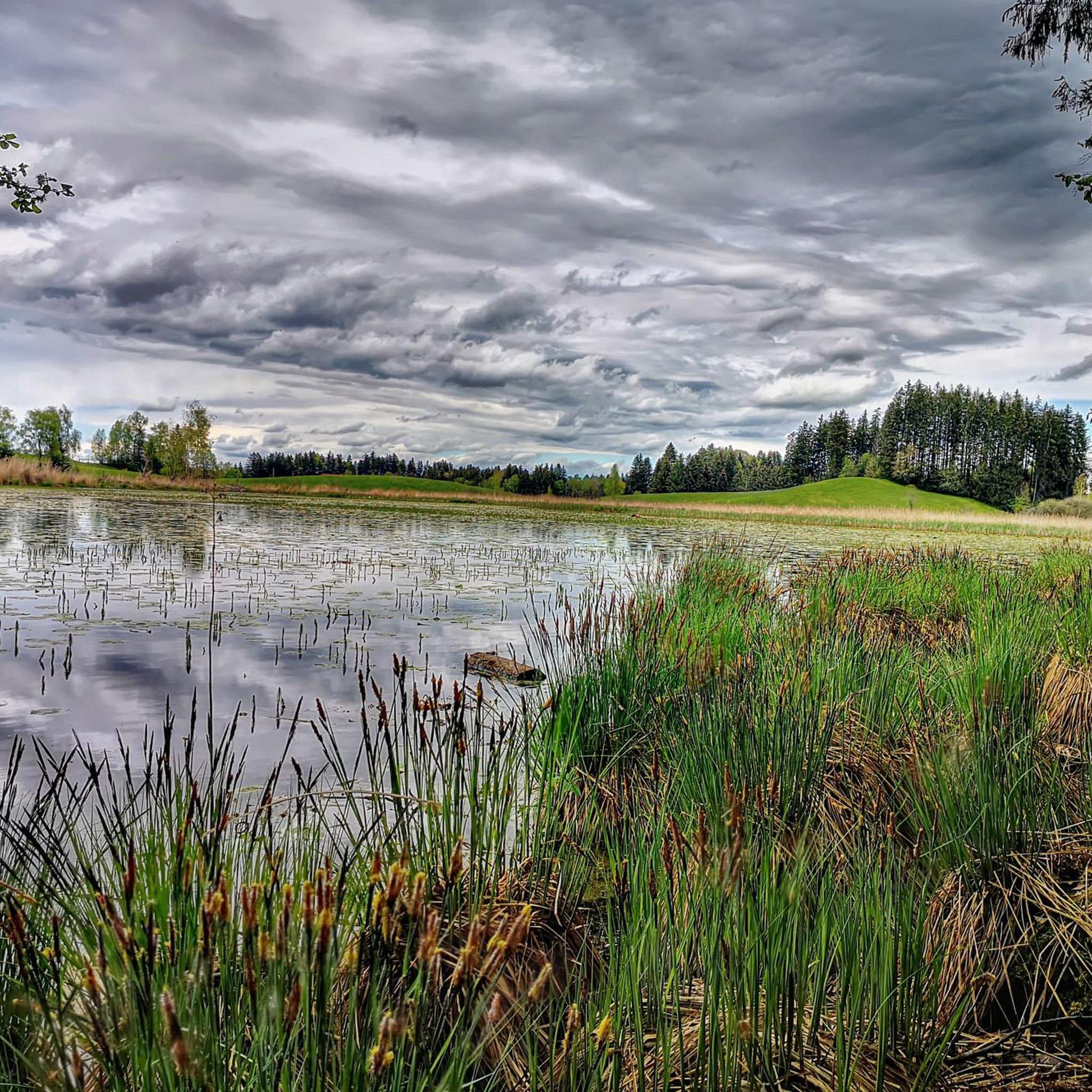
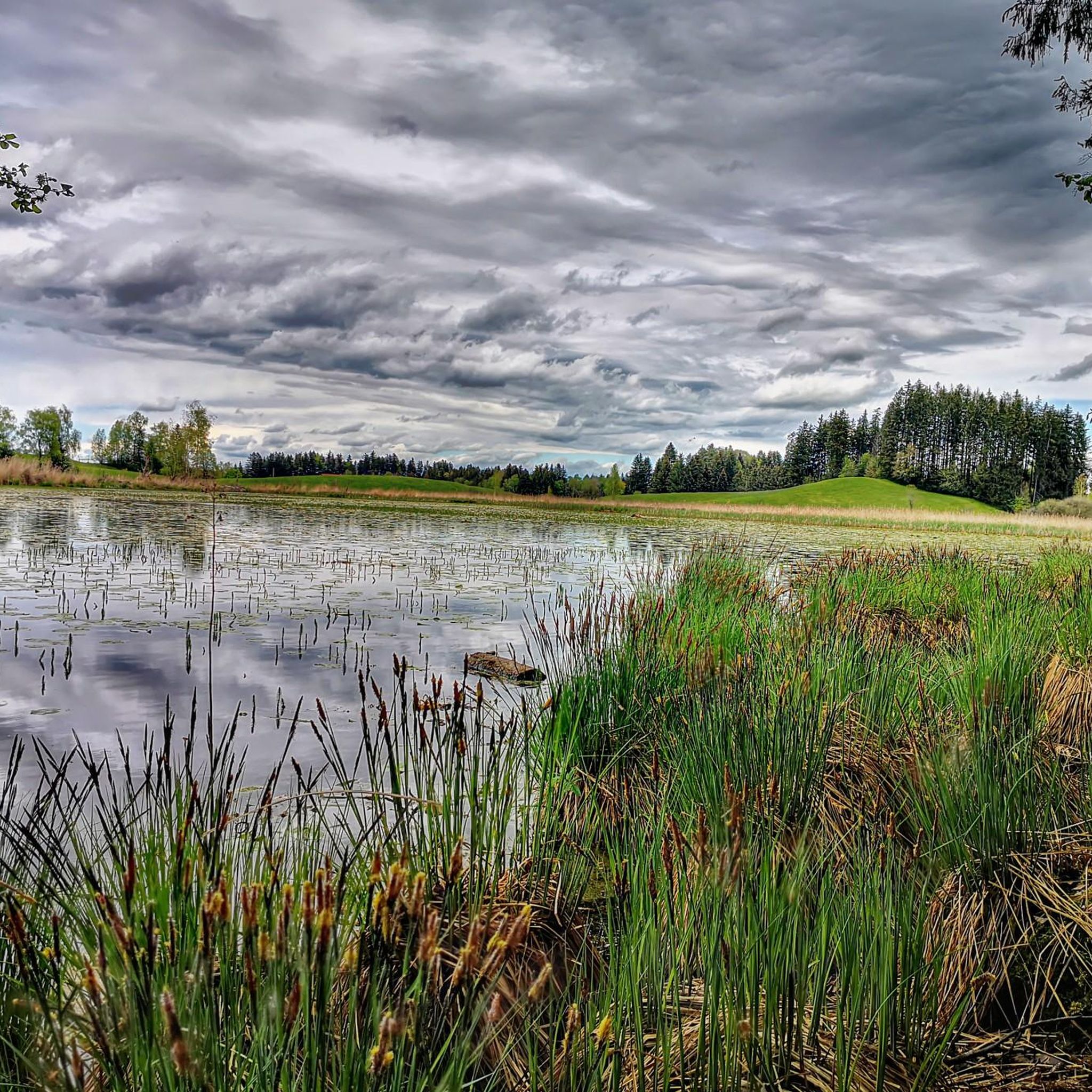
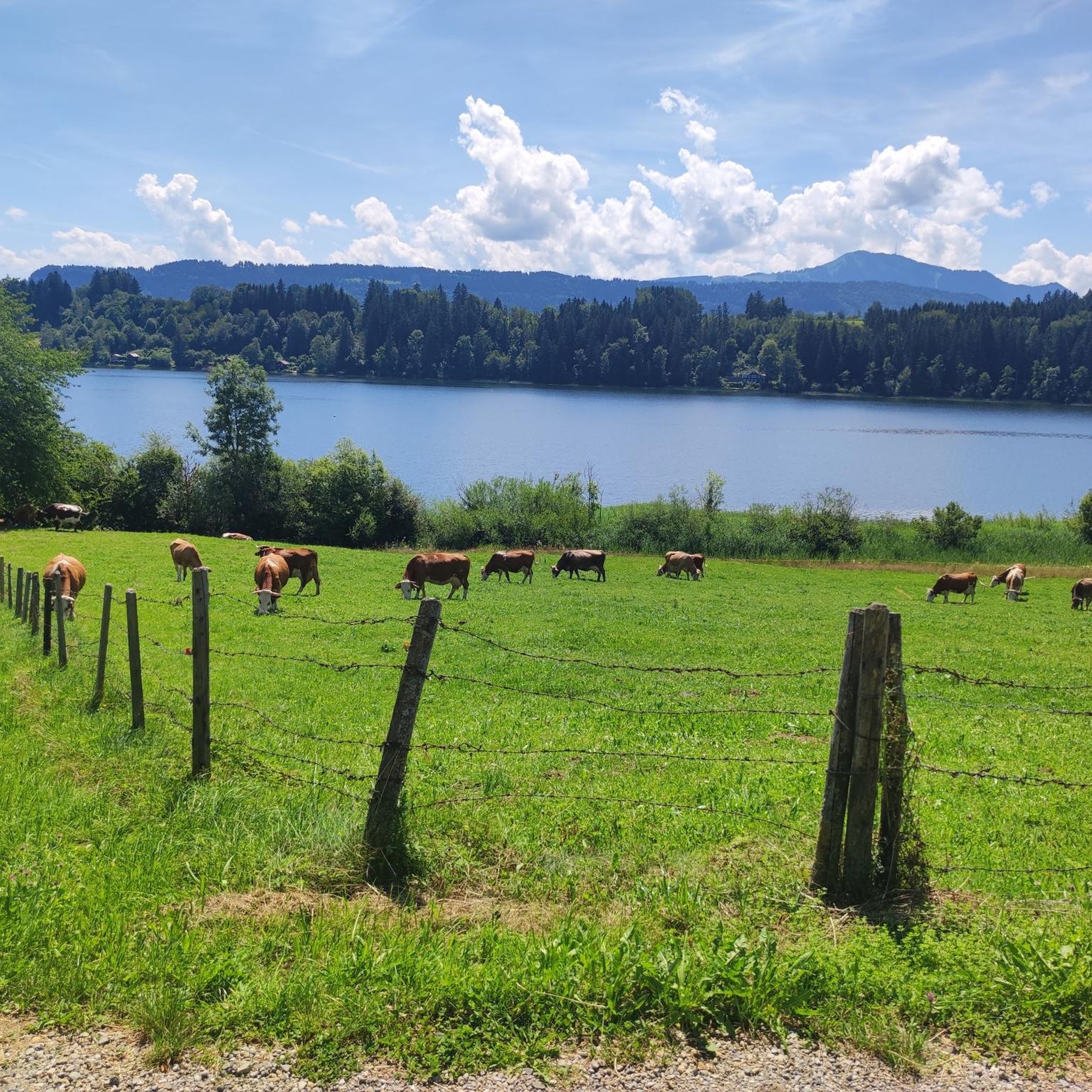



커뮤니티 팁


I also cycled from Wiggenbach once in winter. Before you go, find out what the Kürnachtal valley looks like and when it last snowed. My ride into the Kürnachtal valley was already a bit of a challenge because it's steep and the stream keeps getting colder. I enjoy the cold in summer and have been here several times.
0
0


a bit icy but if you are good on your feet you won't have any problems
0
0
Huge respect to all those who storm the summit without electric assistance, especially from the Kürnachtal Valley. The route from Wiggensbach is only briefly 17% steep; the descent into the Kürnachtal Valley is breathtaking, and the landscape along the stream toward Wegscheidel is magnificent. I'll be back in summer 2025 because, two days after the snowfall in December 2024, there were still small patches of snow on the road. I was a bit nervous on the descent because it was also getting much colder. Before you plan to drive in winter, check the snow conditions on the road to be on the safe side. Even if it's green in Wiggensbach, the shady road could be covered in snow.
1
0

The Grünten, also known as the “Guardian of the Allgäu”, is a very distinctive mountain. It is located near the communities of Rettenberg and Burgberg in the Allgäu. With a height of 1738 meters, the Grünten is not a particularly high mountain, but due to its isolated location it offers impressive views and is a popular destination. There are mountain bike routes around the mountain. The Grünten also has cultural and historical significance for the region, which makes it a special symbol of the Allgäu.
3
0


더 살펴보기
이 가이드를 통해 더 많은 장대한 산악 통과를 확인해보세요 발텐호펜 주변:
