되플링 최고의 워킹 & 하이킹 경로
4.5
(325)
1,181
등산객
16
하이킹
정확한 경로를 찾는 것이 때로는 어렵지만 되플링에서 하이킹을 하면 다양한 경치를 마음껏 감상할 수 있답니다. 되플링에서 가장 멋진 하이킹과 워킹 중에서 마음에 드는 활동을 시작해보세요.
마지막 업데이트: 10월 18, 2026
4.9
(11)
22
등산객
12.3km
03:11
70m
70m
보통 하이킹. 좋은 체력 필요. 실력과 관계없이 누구나 쉽게 갈 수 있는 길.
4.2
(9)
37
등산객
7.40km
01:53
30m
30m
초급용 하이킹. 모든 체력 수준에 적합. 실력과 관계없이 누구나 쉽게 갈 수 있는 길.

5
등산객
3.96km
01:00
0m
0m
초급용 하이킹. 모든 체력 수준에 적합. 실력과 관계없이 누구나 쉽게 갈 수 있는 길.
4
등산객
6.55km
01:41
40m
40m
초급용 하이킹. 모든 체력 수준에 적합. 실력과 관계없이 누구나 쉽게 갈 수 있는 길.
4
등산객
4.03km
01:01
0m
0m
초급용 하이킹. 모든 체력 수준에 적합. 실력과 관계없이 누구나 쉽게 갈 수 있는 길.
더 다양한 경로와 다른 탐험가들의 추천을 살펴보세요.
이미 komoot 계정이 있나요?
투어 추천은 다른 사람들이 komoot에서 완료한 수천 개의 활동을 바탕으로 구성되어 있습니다.
오늘 무료 계정으로 시작하세요
다음 모험이 기다리고 있어요.
되플링 주변 인기 장소
커뮤니티 팁

이 벤치는 더 이상 존재하지 않습니다. 현재 마을 소식에 대한 정보 게시판 (꽤 관리하기 쉬움 🤭)
0
0

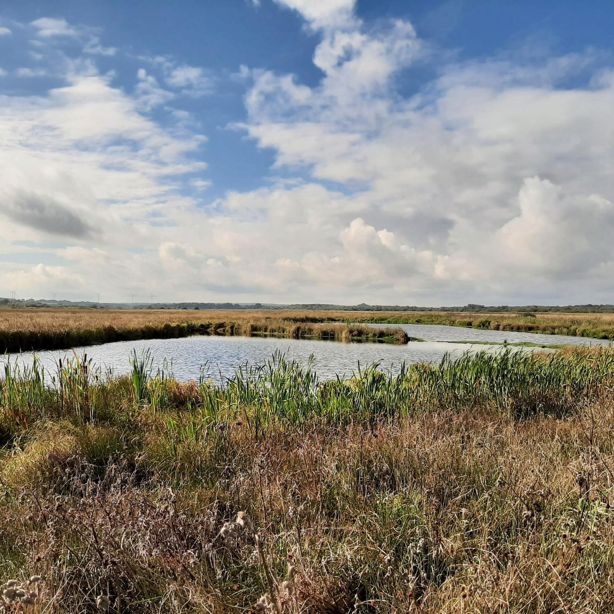
Magnificent view over the fields and the steep edge of the Dithmarschen Altmoräne, which was formed in the last ice age.
3
0

Nice bench from which you can look at the paddocks and paths.
1
0

a very well-kept place with a covered break opportunity. The unusual construction, which consists of four huge wooden poles on which a grass-covered roof rests, is modeled on a former harvest storage facility. This construction was called "Four Rod Mountains". The roof was movable in the original. Mayor Volker Lorenzen told me that if you want to spend the night here, you should first obtain the consent of the municipality of Dörpling.
0
0

During the last ice age the glacier front of the Nordic Inland ice, coming from the northeast, approximately as far as today's Rendsburg-Flensburg motorway. Dithmarschen remained ice-free. Since a glacier releases large amounts of meltwater, especially in summer, wide streams of meltwater formed that led away from the glacier into the glacial valley of the Elbe. At that time, the world sea level was around 100 meters lower than it is today. One of these meltwater streams ran in what is now the lower Eider Valley and created a steep edge through erosion on the Dithmarscher Altmoräne. Due to earth flow caused by frost changes However, in the final phase of the Ice Age this was flattened. The actual valley floor of the Ice Age meltwater valley is still around five meters below the current meadows cultivated from fens. Along the path, this striking slope is well preserved and is often interspersed with springs over impermeable clay layers, which are covered by a different type of vegetation such as Sour grasses or alders are marked. The clay mined here was used in the late 19th and early 19th centuries In the 20th century, yellow bricks were burned in up to three brickworks and shipped in large quantities across the Eider. (…from information board)
2
1

A 40 m high ridge stood in the way of the planned railway line, which could not be bypassed. So you had to dig the route through the geest. In retrospect, this led to some landslides and large snow drifts in winter, so that trains derailed again and again. Today the old railway line is a beautiful, natural ravine.
1
0

Landscape formed by meltwater during the Ice Age.
8
0
되플링 주변에서 가장 인기 있는 경로
되플링 주변에서 가장 인기 있는 명소


더 살펴보기
다른 지역의 최고의 하이킹를 살펴보세요.
