아담 카운티 최고의 라이딩 경로
4.6
(53)
1,681
자전거 타는 사람
71
라이딩
아담 카운티에서 하이킹하며 콜로라도 구석 부분까지 살펴볼까요? 아담 카운티에 있는 모든 하이킹 및 워킹 경로 컬렉션 중 가장 멋진 하이킹 경로를 엄선하여 소개해드릴게요. 다른 하이커가 공유한 실제 팁과 사진을 살펴보고 후기를 읽으며 마음에 드는 아담 카운티 워킹 경로를 찾아보세요.
마지막 업데이트: 8월 31, 2026
4.8
(5)
169
자전거 타는 사람
71.1km
03:53
560m
560m
This moderate road cycling route combines the dedicated US 36 Bikeway with Boulder's extensive loop system, offering a diverse ride through urban and natural landscapes. You'll pedal past open spaces…
110
자전거 타는 사람
34.2km
05:14
90m
90m
Cycle the 21.2-mile Rocky Mountain Arsenal Perimeter Trail for wildlife viewing, prairie views, and a challenging gravel ride.

무료 회원 가입
4.2
(5)
52
자전거 타는 사람
50.7km
02:23
130m
130m
The South Platte River Trail Loop offers a versatile road cycling experience, blending Denver's urban landscape with tranquil riverside scenery. You'll pedal along the South Platte River, enjoying views of…
6
자전거 타는 사람
149km
07:28
420m
420m
Cycle the difficult 92.4-mile South Platte River Trail, gaining 1372 feet in elevation through diverse Denver landscapes.
87.3km
04:06
330m
330m
This 54.3-mile racebike loop around Denver offers moderate difficulty and diverse urban and natural scenery.
2
자전거 타는 사람
23.5km
01:04
70m
70m
This easy 14.6-mile road cycling loop on the South Platte River Trail offers urban views, river scenery, and mountain backdrops.
5.0
(5)
171
자전거 타는 사람
48.8km
02:39
410m
410m
보통 도로 자전거 타기. 좋은 체력 필요. 투어 중 라이딩하기 어려운 비포장 구간이 있을 수 있음.
4.5
(2)
109
자전거 타는 사람
보통 도로 자전거 타기. 좋은 체력 필요. 지면 대부분이 잘 포장되어 있고 라이딩하기 쉬움.
74
자전거 타는 사람
어려운 도로 자전거 타기. 우수한 체력 필요. 지면 대부분이 잘 포장되어 있고 라이딩하기 쉬움.
5.0
(2)
79
자전거 타는 사람
52.6km
02:39
170m
170m
보통 도로 자전거 타기. 좋은 체력 필요. 투어 중 라이딩하기 어려운 비포장 구간이 있을 수 있음.
더 다양한 경로와 다른 탐험가들의 추천을 살펴보세요.
무료 회원 가입
이미 komoot 계정이 있나요?
투어 추천은 다른 사람들이 komoot에서 완료한 수천 개의 활동을 바탕으로 구성되어 있습니다.
오늘 무료 계정으로 시작하세요
다음 모험이 기다리고 있어요.
로그인 또는 가입하기

커뮤니티 팁

The South Platte River Trail runs for nearly 35 miles through the suburbs and city of Denver, Colorado. This paved, multi-use path is popular with runners and walkers as well as bike commuters but is also a fantastic way to explore the Denver area on a long weekend ride away from traffic. The trail provides access to numerous parks, including Chatfield State Park at its far southern end. The South Platte River Trail is part of a larger network of trails in the Denver metropolitan area, connecting to the Cherry Creek Trail and the High Line Canal Trail, among others. It offers great views of the foothills, river, and wildlife as you ride.
0
0

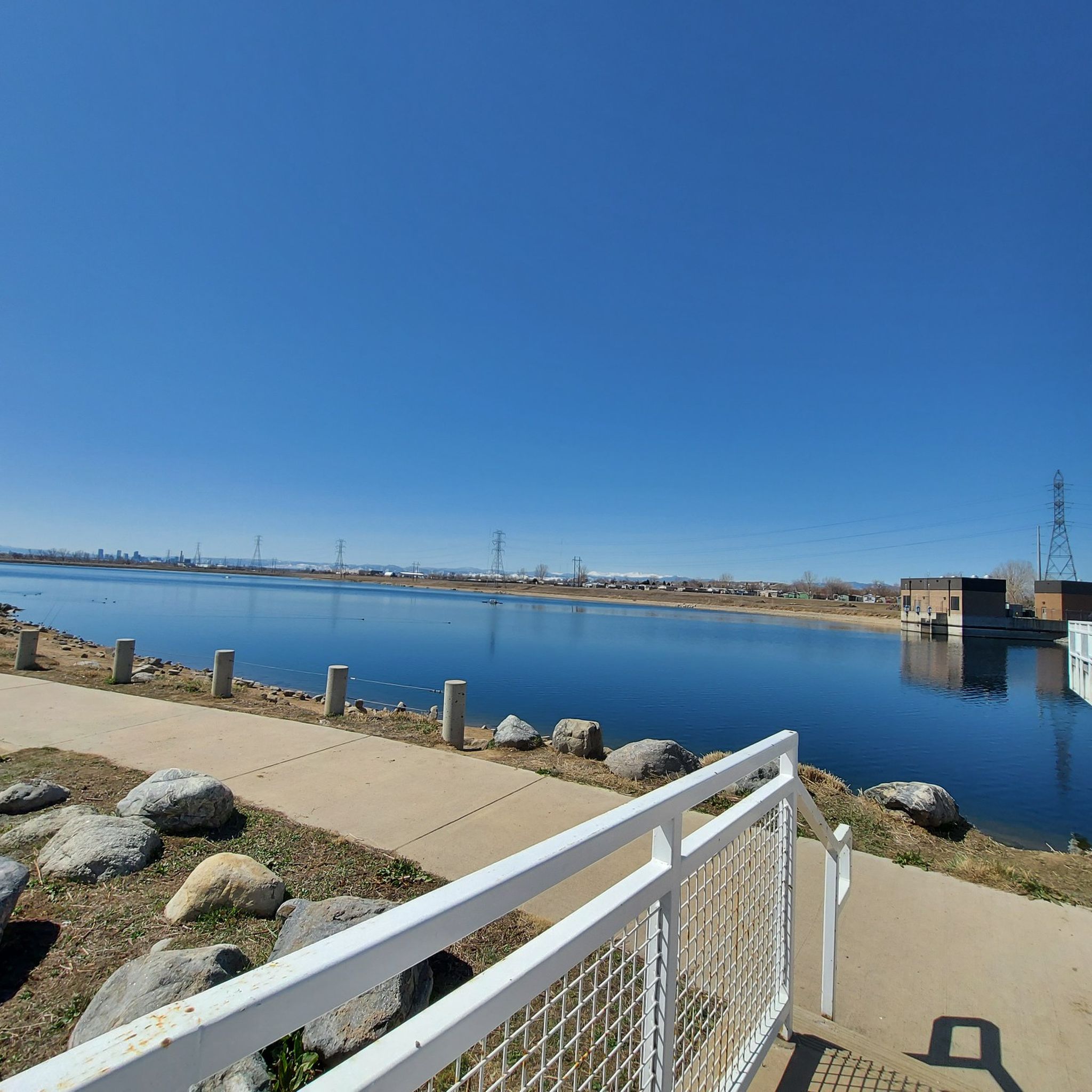
The Chatfield Reservoir is a 1,423-acre lake in Chatfield State Park. There is a hiking path that runs alongside the water.
0
0
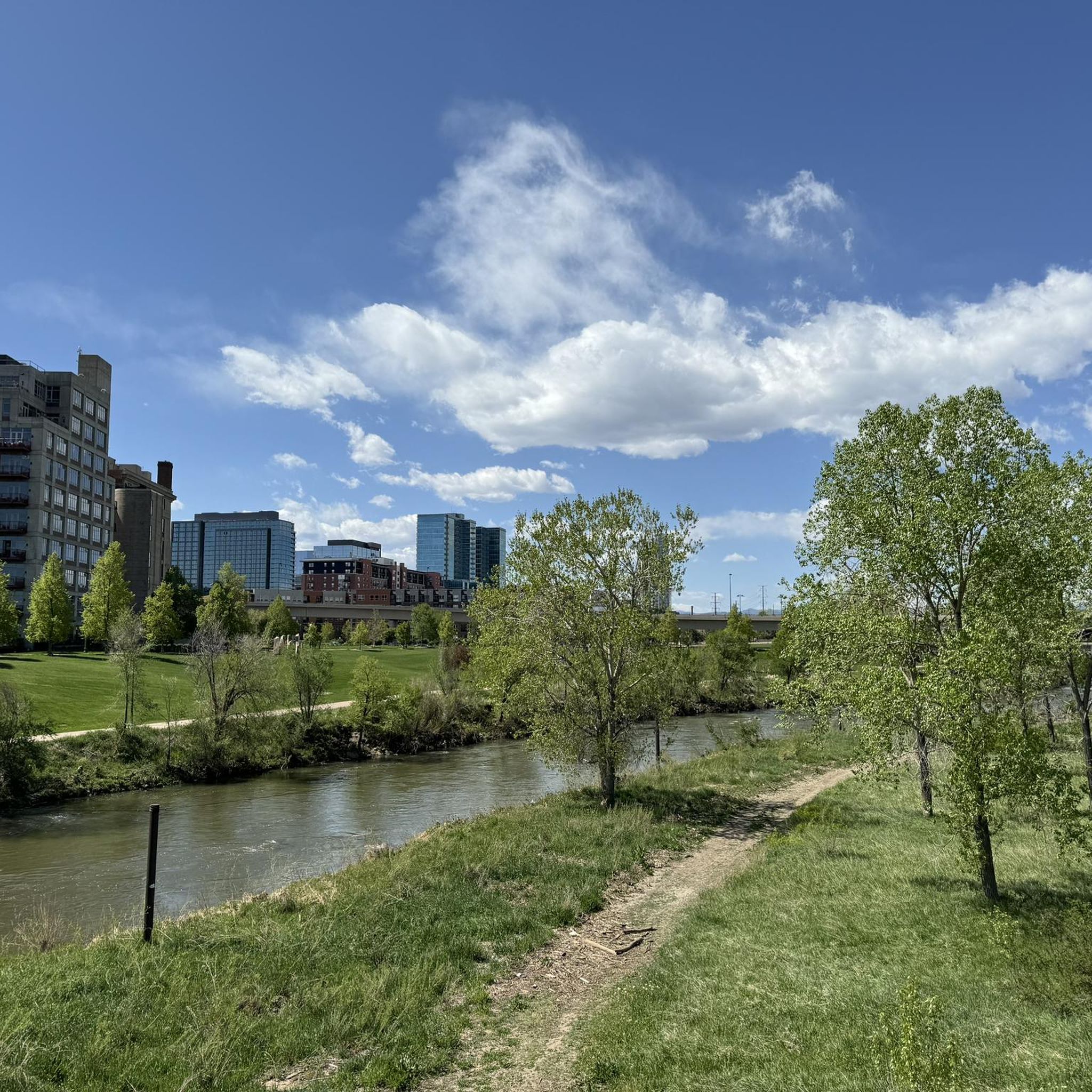
Great view of the South Platte River from the cycle trail. The trail is popular with walkers, runners, and cyclists, so if you want to stop to enjoy the view, make sure you pull off to the side.
0
0
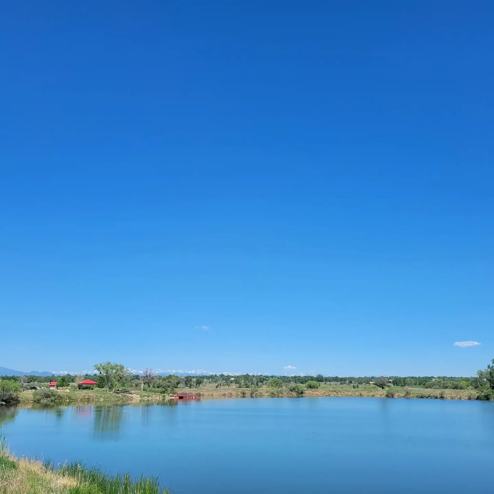
The Lowell Ponds Wildlife Area in northwest Denver encompasses approximately 43 acres of warm-water ponds and riparian habitats. These ponds are home to species such as largemouth bass, smallmouth bass, channel catfish, bluegill, crappie, and bullhead catfish. Boating is prohibited to protect the habitat. In addition to fishing, Lowell Ponds is a nice spot for picnicking, hiking, and wildlife viewing. The site known for birdwatching, especially during migration periods when the ponds attract various waterfowl species.
2
0
Empower Field at Mile High, often called Mile High Stadium, is Denver’s iconic sports venue and home to the NFL’s Denver Broncos. Located near downtown, the stadium sits 5,280 feet above sea level, giving it its name. Opened in 2001, it replaced the original Mile High Stadium and can accommodate over 76,000 fans. The stadium hosts football games, concerts, and other large-scale events and features panoramic views of Denver and the Rocky Mountains. Outside, the "Bucky the Bronco" statue symbolizes the team and its history.
1
0

Great stop on the Platte River Trail, good coffer, place to sit and relx
1
0
The Rocky Mountain Greenway Trail, or Greenway Trail, is one of the main trails on the southern side of the Rocky Mountain Arsenal National Wildlife Refuge. It helps connect different trails to each other, but unlike some of the other trails, this one is open for bikes. Although it can be a little dry and loose, overall this is very easy, well-graded, gravel trail. Another nice feature of this trail is that dogs are not allowed.
0
0

Clear Creek, a vibrant waterway roughly 66 miles long, originates in the Rocky Mountains west of Denver, finally meeting with the South Platte River. The contrast in the water's color and flow is often noticeable, with Clear Creek's clear, fast-moving water meeting the South Platte's slower, sometimes more opaque flow.
0
0
아담 카운티에서 가장 인기 있는 명소


찾고 계신 것을 찾지 못하셨나요?
아담 카운티에서 더 많은 로드 사이클링 경로를 확인하고 목적지에서 완벽한 경로를 찾아보세요.
더 살펴보기
다른 지역의 최고의 로드 사이클링 경로를 살펴보세요.
