오버라르제 최고의 워킹 & 하이킹 경로
4.6
(1039)
9,309
등산객
211
하이킹
오버라르제 최고의 하이킹과 워킹을 찾으시나요? 그렇다면 아름다운 인터라켄 오버하슬리 호수 주변에 있는 경로 컬렉션을 아래에서 살펴보세요. 오버라르제에 있는 하이킹 트레일 중에서 마음에 드는 곳을 선택해 언제든지 야외 활동을 하면 돼요.
마지막 업데이트: 9월 15, 2026
4.7
(10)
77
등산객
6.24km
02:03
90m
100m
보통 하이킹. 좋은 체력 필요. 대부분 갈 수 있는 길. 미끄러지지 않게 조심해야 함.
5.0
(2)
32
등산객
10.5km
04:34
630m
630m
어려운 하이킹. 좋은 체력 필요. 튼튼한 신발을 신고 미끄러지지 않게 조심해야 하며, 높은 산을 오른 경험이 있어야 함.

5.0
(2)
12
등산객
7.95km
03:42
560m
560m
어려운 하이킹. 좋은 체력 필요. 튼튼한 신발을 신고 미끄러지지 않게 조심해야 하며, 높은 산을 오른 경험이 있어야 함.
1
등산객
4.31km
01:22
140m
140m
보통 하이킹. 모든 체력 수준에 적합. 대부분 갈 수 있는 길. 미끄러지지 않게 조심해야 함.
1
등산객
4.36km
01:22
150m
150m
보통 하이킹. 모든 체력 수준에 적합. 대부분 갈 수 있는 길. 미끄러지지 않게 조심해야 함.
더 다양한 경로와 다른 탐험가들의 추천을 살펴보세요.
이미 komoot 계정이 있나요?
투어 추천은 다른 사람들이 komoot에서 완료한 수천 개의 활동을 바탕으로 구성되어 있습니다.
오늘 무료 계정으로 시작하세요
다음 모험이 기다리고 있어요.

커뮤니티 팁

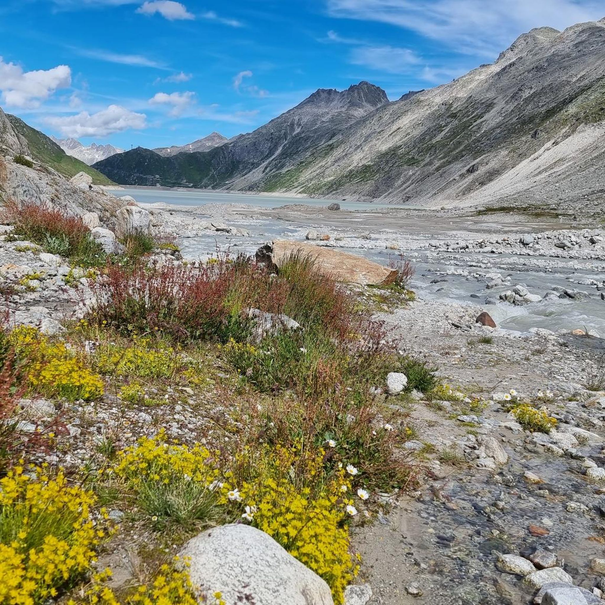
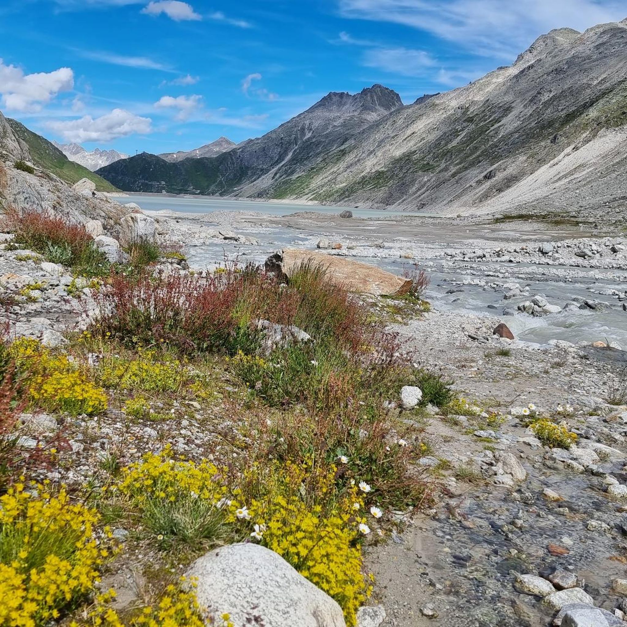
Impressive reservoir nestled into the breathtaking granite landscape. This is a popular starting point for the hike to the Oberaar glacier.
0
0

The Sidelhorn is a 2764 m high mountain in the Bernese Alps massif in Switzerland. It lies on the border of the cantons of Valais and Bern and on the European main watershed. https://de.m.wikipedia.org/wiki/Sidelhorn
4
0


Magnificent view on the ascent to the Sidelhorn
0
0

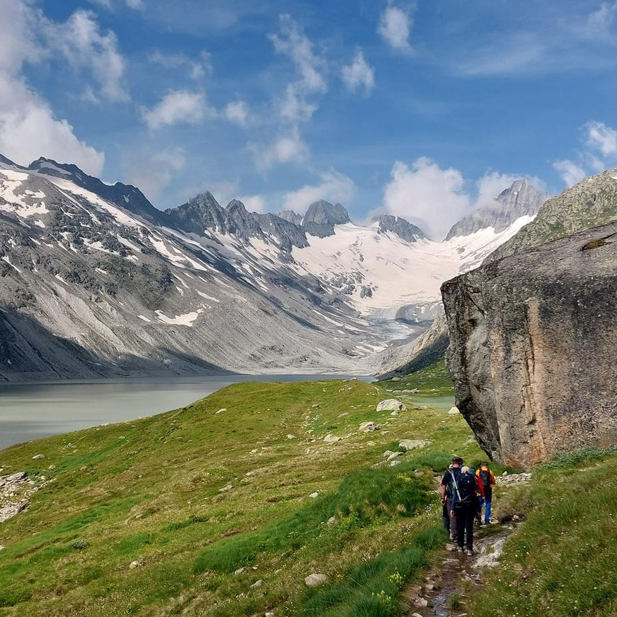
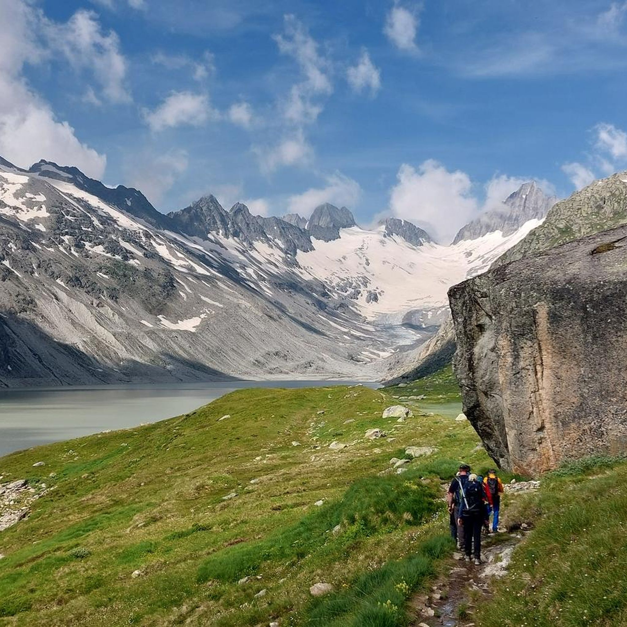
The Oberaar Glacier is a valley glacier in the eastern part of the Bernese Alps, in the canton of Bern in Switzerland. It is almost 5 km long, has an average width of 800 m and, together with the side firns, covers an area of around 4 km².
2
1

⭐️⭐️⭐️⭐️⭐️ 𝐀𝐛𝐬𝐨𝐥𝐮𝐭 𝐄𝐦𝐩𝐟𝐞𝐡𝐥𝐞𝐧𝐬𝐰𝐞𝐫𝐭! This short and easy mountain hike in the Bernese Oberland leads in a high alpine atmosphere from the Oberaarsee dam to the Oberaar glacier tongue, where the Aare shoots out as a young river. At around 290 kilometers, the Aare is the longest river that runs entirely within Switzerland, from the Aare glacier to the confluence with the Rhine near Koblenz (AG). The Berghaus Oberaar is located near the dam wall of the Oberaarsee, below it directly on the lake there is a large parking and camper place. From the Grimselpasshöhe, the six-kilometre-long private panoramic road leads to the car park below the Berghaus Oberaar. The road will be open from July, it can only be driven in one direction: from the Grimsel Pass to the Berghaus Oberaar on the hour, from the Berghaus Oberaar to the Grimsel Pass on the half hour. The parking lot is chargeable. Then it is about 2.5 hours hiking time on an easy and good mountain path to the glacier tongue and back to the dam wall. The Oberaar Glacier is almost 5 km long and has an average width of 800 m. The glacier originates at the glacier pass of the Oberaarjoch (3,216 m) between the Oberaarhorn (3,631 m) and the Oberaarrothorn (3,477 m). The glacier tongue is at 2,310 m at the far end of the Oberaar reservoir. The Oberaarsee is the highest reservoir in the headwaters of the Aare. The Oberaarjochhütte (SAC) is located on the Oberaarjoch at 3,256 m.
4
0

You have a wonderful 360 degree panorama from the Sidelhorn.
1
0


