판타 데 카마라사 최고의 라이딩 경로
4.7
(13)
940
자전거 타는 사람
22
라이딩
판타 데 카마라사 최고의 로드 사이클링 경로를 찾으시나요? 그렇다면 아름다운 노게라 호수 주변의 라이딩 컬렉션을 아래에서 살펴본 후, 판타 데 카마라사의 여러 가지 모습을 직접 만나보세요.
마지막 업데이트: 10월 11, 2026
3
자전거 타는 사람
63.0km
04:09
1,400m
1,400m
어려운 도로 자전거 타기. 우수한 체력 필요. 투어 중 라이딩하기 어려운 비포장 구간이 있을 수 있음.
5.0
(3)
277
자전거 타는 사람
85.8km
04:35
1,600m
1,600m
어려운 도로 자전거 타기. 우수한 체력 필요. 투어 중 라이딩하기 어려운 비포장 구간이 있을 수 있음.

22
자전거 타는 사람
23.7km
01:14
150m
150m
보통 도로 자전거 타기. 모든 체력 수준에 적합. 투어 중 라이딩하기 어려운 비포장 구간이 있을 수 있음.
9
자전거 타는 사람
63.1km
03:30
1,350m
1,350m
어려운 도로 자전거 타기. 우수한 체력 필요. 투어 중 라이딩하기 어려운 비포장 구간이 있을 수 있음.
4.0
(1)
272
자전거 타는 사람
125km
06:26
2,090m
2,090m
어려운 도로 자전거 타기. 우수한 체력 필요. 투어 중 라이딩하기 어려운 비포장 구간이 있을 수 있음.
더 다양한 경로와 다른 탐험가들의 추천을 살펴보세요.
이미 komoot 계정이 있나요?
투어 추천은 다른 사람들이 komoot에서 완료한 수천 개의 활동을 바탕으로 구성되어 있습니다.
오늘 무료 계정으로 시작하세요
다음 모험이 기다리고 있어요.

커뮤니티 팁

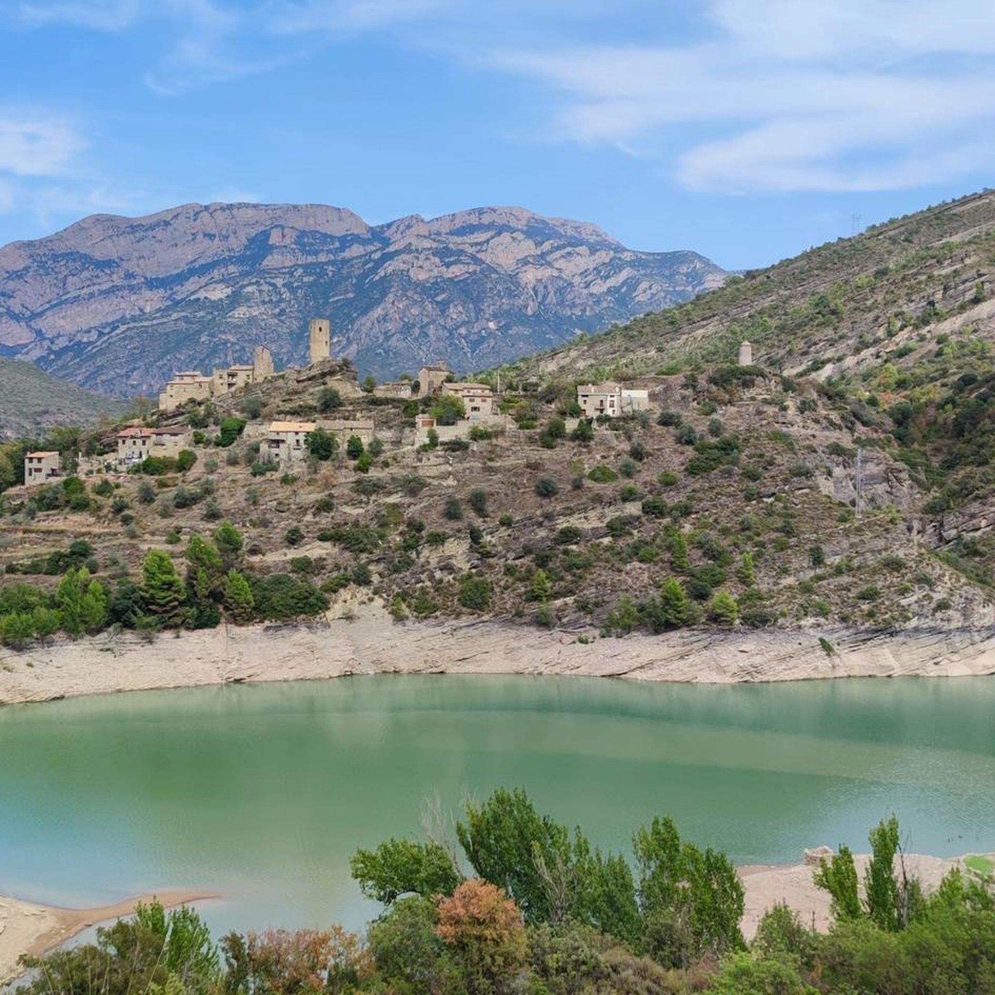
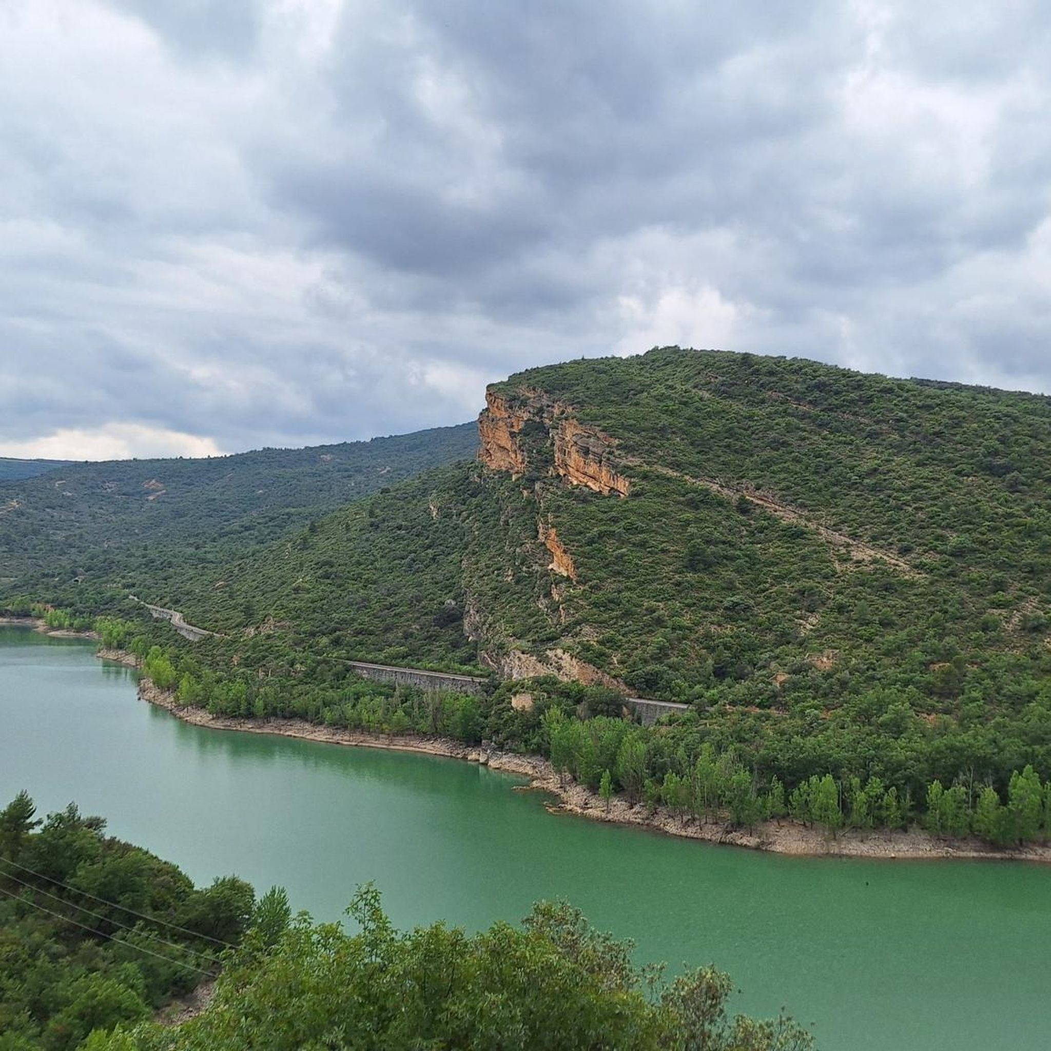
도로를 따라 걷는 쉬운 산책로입니다. 가파른 절벽과 호수를 바로 지나갑니다. 매우 인상적입니다
0
0


Beautiful walk that crosses the dam and continues along its other side.
0
0
This is an area with a beautiful natural landscape, ideal for relaxing and enjoying nature. It's also an idyllic spot for a multitude of leisure activities. Its cliffs make it an attractive spot for climbing enthusiasts. Along the road that runs alongside it, you'll find several picture-postcard views.
0
0

From the main road you cannot appreciate the rustic beauty of this town on the plain of Lleida. It is worth entering the town and walking through the streets of the historic center.
0
0
Next to the Coll d'Ares, it is the most iconic port in the Montsec mountain range and the Lleida Pre-Pyrenees. The views from above, either towards the Pyrenees and the Isona and Tremp valley, as well as the Plana de Lleida, are magnificent. It is a port with 4 aspects, each one different: - The southern slope, which begins in Artesa de Segre, is almost 24 km long and runs along a road with a lot of traffic, very wide and with long straights. After passing the town of Folquer, you face the hardest section of the climb, now with continuous curves and horseshoes, although with a road that is still very wide. The best are the views of the Lleida plain. It is not a side that I like since it is very stinky. - The southeast slope, the one that begins in Pons, is longer than the previous one, with 29 km. It has 2 rest sections, with some descent, and the road is narrow and twisty. There are good views along the climb. This slope joins the southern slope that comes from Artesa de Segre at the height of Folquer, where the hardest 7 km remain until reaching the top of the pass. - The main northern slope begins in Tremp and is 28.2 km. It is similar to the Artesa de Segre slope, with a similar gradient and a wide, busy road with a progressive slope, although it is true that there are no kilometers that reach 7%. I don't like. - The northwest slope, which also begins in Tremp, takes the old road that goes up through the town of Sant Salvador de Toló. It is a climb without traffic, on an irregular asphalt road, one of the old ones, which is grippy and difficult to roll, but in good condition. If you plan to go up to Comiols on the northern slope, you have to do it here and forget about the slope that runs along the main road.
0
0
It is a port in the Montsec mountain range that allows access to the beautiful valley where the town of Àger is located, with imposing vertical mountains that give a lot of charm and spectacularity to the valley, especially in spring where the green of the trees, the red of poppies and the warm yellow of wheat. The port is very stinky on both sides since the road is very wide, normally with 3 lanes, and with long straights, which take away any type of cycling attraction. However, the views from the port, especially towards the Àger valley, are spectacular. I climbed it on the southern slope, the one that begins in Balaguer. From Balaguer it is almost 25 km, with continuous ups, downs and flat areas. The final uphill section is 5.5 km at 6 - 7%, with a rest section when crossing the town of Sant Josep de Fontdepou
0
0


더 살펴보기
다른 지역의 최고의 로드 사이클링 경로를 살펴보세요.
