판타 데 카마라사 주변 최고의 그래블 라이딩 코스
5.0
(2)
51
자전거 타는 사람
19
라이딩
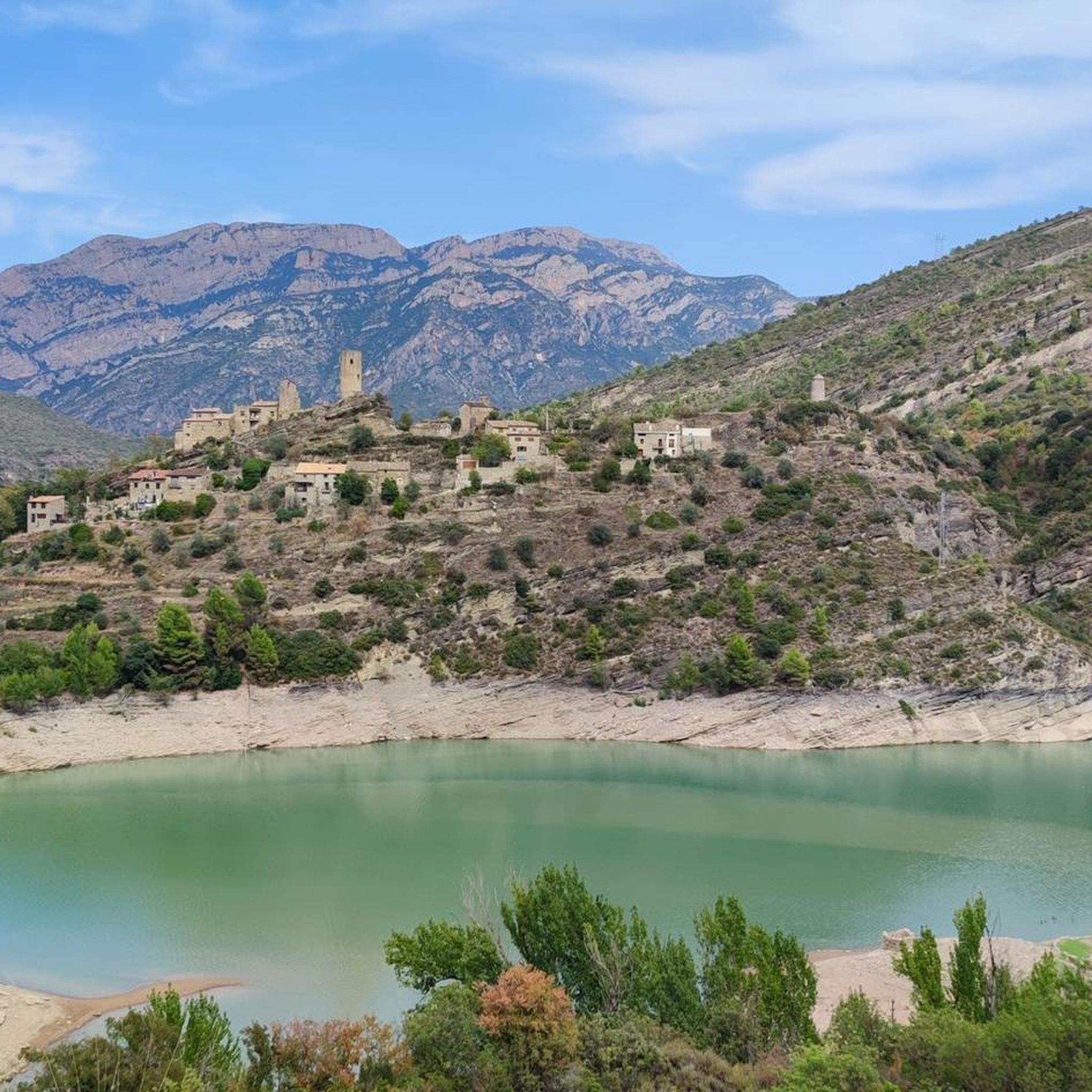
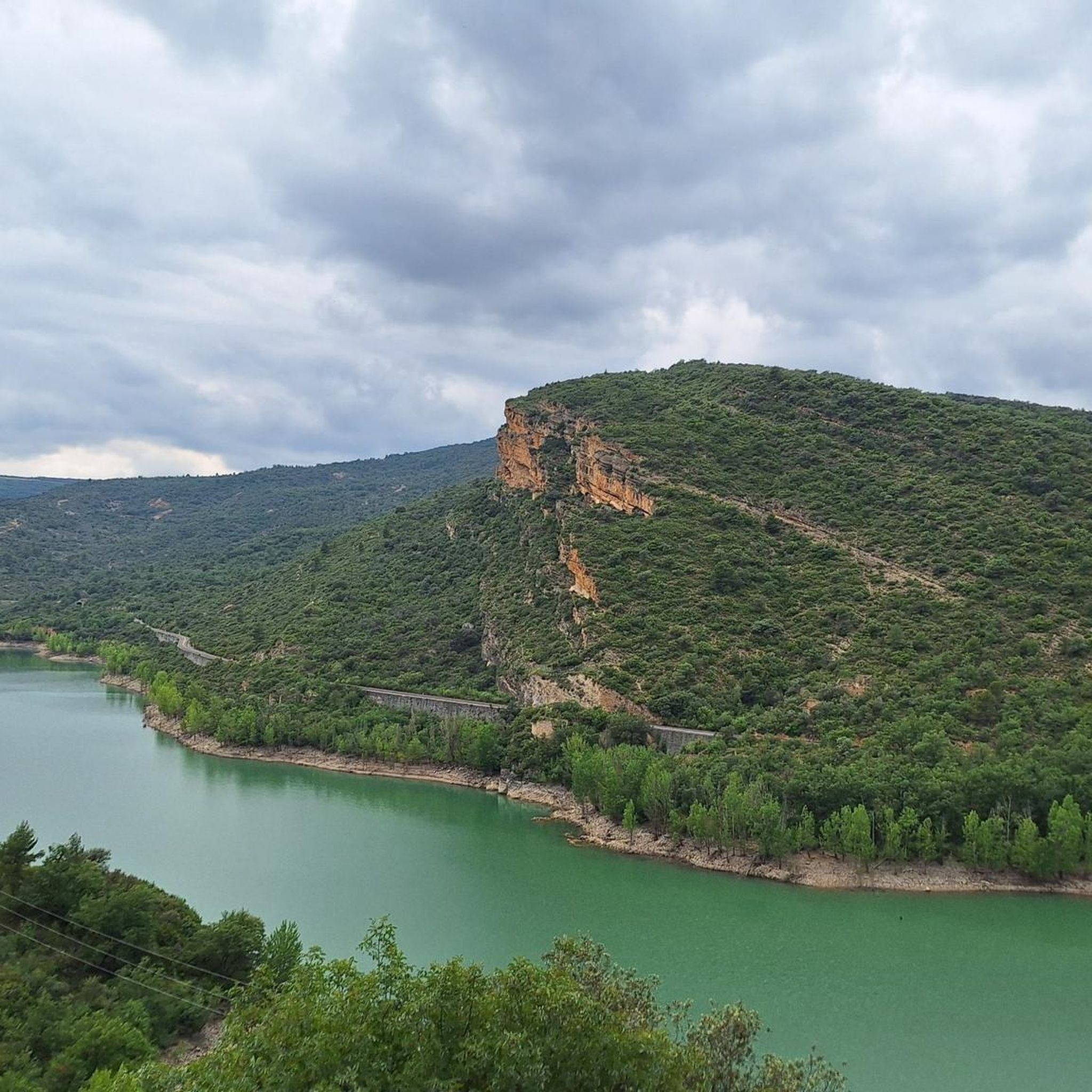
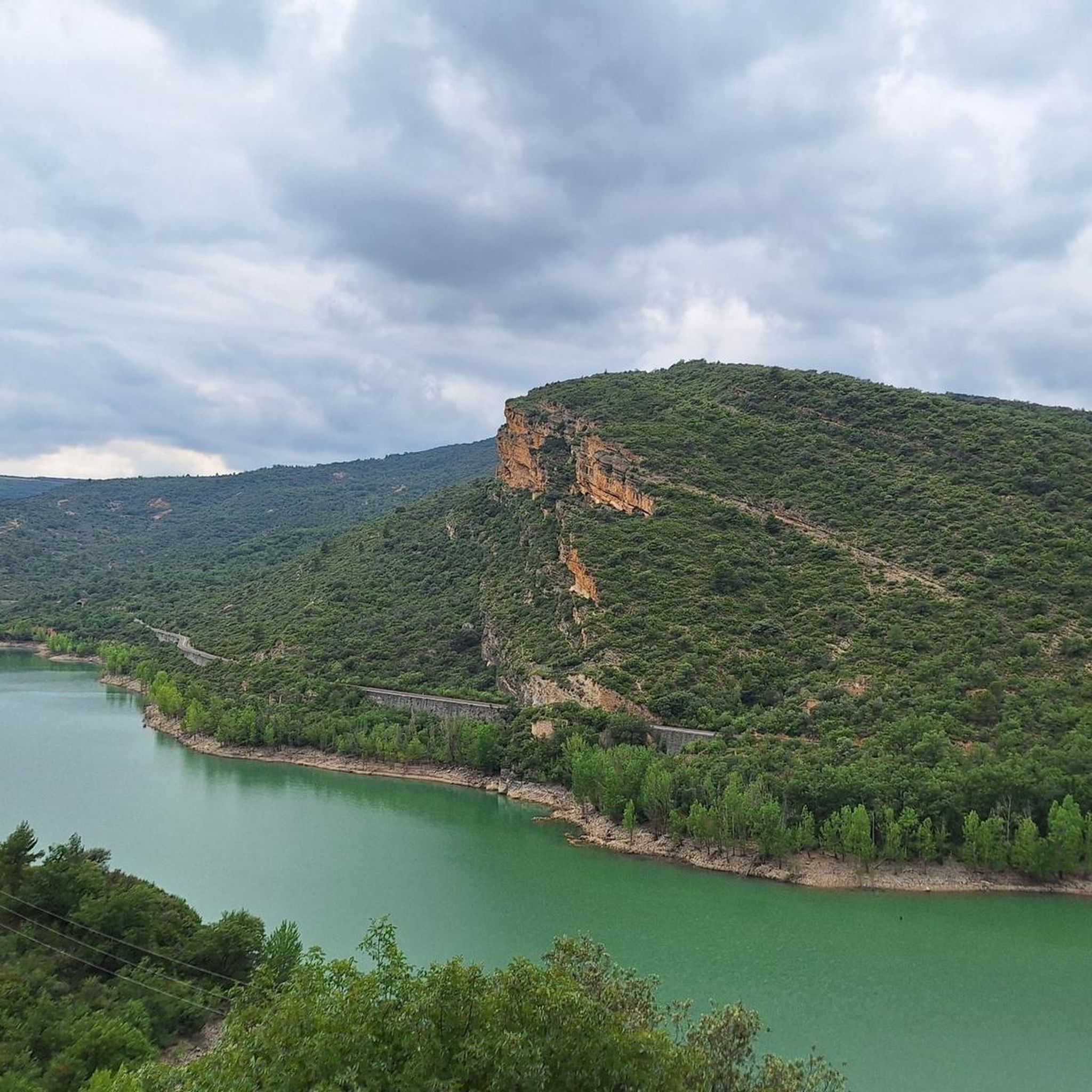
Pantà de Camarasa 주변의 그래블 바이크 라이딩은 Segre 강과 Sant Llorenç de Montgai 호수에 의해 형성된 풍경을 가로지르는 코스를 제공합니다. 이 지역은 중앙 분지와 피레네 산맥 이전 지역의 교차점에 위치하며, 수역 옆길과 중간 정도에서 상당한 고도 변화가 있는 지역을 통과하는 등 다양한 지형을 특징으로 합니다. 웅장한 절벽이 저수지를 끼고 있어 피오르와 같은 풍경을 연출하며, 자연 환경은 다양한 지중해 식물을 지탱합니다. 이 그래블 바이크 트레일은 강변 길부터 더욱 도전적인 오르막길까지 Pantà de Camarasa의 자연 환경을 탐험할 기회를 제공합니다.
Pantà de Camarasa…
마지막 업데이트: 8월 18, 2026
9
자전거 타는 사람
43.8km
03:25
820m
820m
어려운 자갈길 타기. 우수한 체력 필요. 대부분 포장된 지면. 실력과 관계없이 누구나 갈 수 있음.
7
자전거 타는 사람
39.8km
02:50
820m
820m
어려운 자갈길 타기. 우수한 체력 필요. 대부분 포장된 지면. 실력과 관계없이 누구나 갈 수 있음.

무료 회원 가입
8
자전거 타는 사람
45.6km
03:12
620m
620m
어려운 자갈길 타기. 우수한 체력 필요. 대부분 포장된 지면. 실력과 관계없이 누구나 갈 수 있음.
6
자전거 타는 사람
21.4km
01:22
120m
120m
초급용 그래블 라이딩. 모든 체력 수준에 적합. 대부분 포장된 지면. 실력과 관계없이 누구나 갈 수 있음.
3
자전거 타는 사람
124km
10:25
2,500m
2,500m
어려운 자갈길 타기. 우수한 체력 필요. 대부분 포장된 지면. 실력과 관계없이 누구나 갈 수 있음.
더 다양한 경로와 다른 탐험가들의 추천을 살펴보세요.
무료 회원 가입
이미 komoot 계정이 있나요?
투어 추천은 다른 사람들이 komoot에서 완료한 수천 개의 활동을 바탕으로 구성되어 있습니다.
오늘 무료 계정으로 시작하세요
다음 모험이 기다리고 있어요.
로그인 또는 가입하기
커뮤니티 팁

도로를 따라 걷는 쉬운 산책로입니다. 가파른 절벽과 호수를 바로 지나갑니다. 매우 인상적입니다
0
0

Ruta 2 now is signposted from Balaguer to the dam at St Llorenc de Montgui. Metal mesh platform has been constructed on east bank dam approach so bikes can cycle straight across to St Laurenc dM. It's very good.
0
0

Beautiful walk that crosses the dam and continues along its other side.
0
0
Although the climb to this small chapel is short but challenging, it's worth reaching the top. It's a charming place with spectacular views.
0
0
This is an area with a beautiful natural landscape, ideal for relaxing and enjoying nature. It's also an idyllic spot for a multitude of leisure activities. Its cliffs make it an attractive spot for climbing enthusiasts. Along the road that runs alongside it, you'll find several picture-postcard views.
0
0

It is a port in the Montsec mountain range that allows access to the beautiful valley where the town of Àger is located, with imposing vertical mountains that give a lot of charm and spectacularity to the valley, especially in spring where the green of the trees, the red of poppies and the warm yellow of wheat. The port is very stinky on both sides since the road is very wide, normally with 3 lanes, and with long straights, which take away any type of cycling attraction. However, the views from the port, especially towards the Àger valley, are spectacular. I climbed it on the southern slope, the one that begins in Balaguer. From Balaguer it is almost 25 km, with continuous ups, downs and flat areas. The final uphill section is 5.5 km at 6 - 7%, with a rest section when crossing the town of Sant Josep de Fontdepou
0
0

The name of the town is evident if you look at the rock next to the town with a visible hole.
0
0


더 살펴보기
다른 지역의 최고의 그래블 라이딩를 살펴보세요.
