엠발스 드 라 자로사 최고의 러닝 경로
4.4
(61)
3,818
달리기 하는 사람
153
러닝
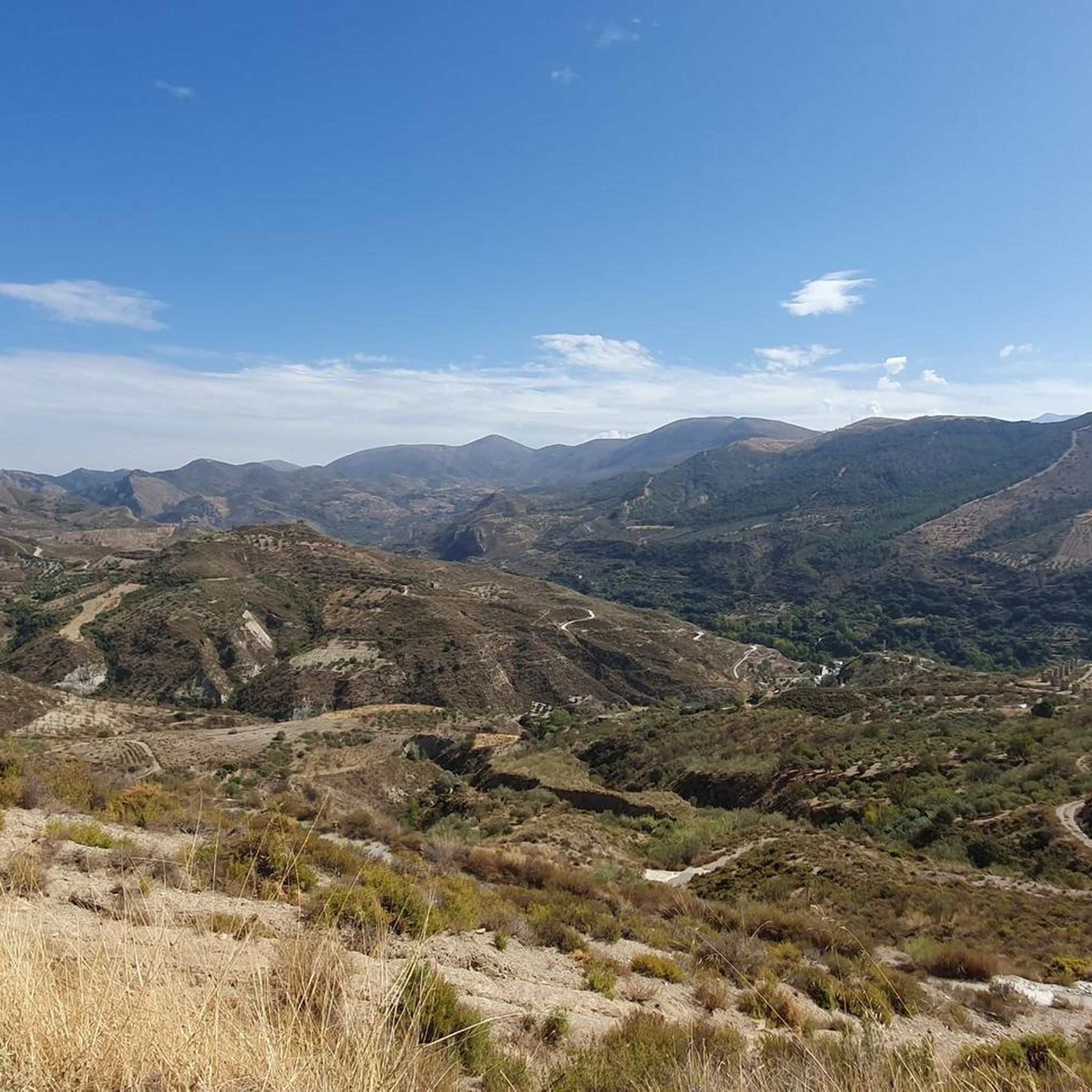
엠발스 드 라 자로사에서 하이킹하며 과다라마 구석 부분까지 살펴볼까요? 엠발스 드 라 자로사에 있는 모든 하이킹 및 워킹 경로 컬렉션 중 가장 멋진 하이킹 경로를 엄선하여 소개해드릴게요. 다른 하이커가 공유한 실제 팁과 사진을 살펴보고 후기를 읽으며 마음에 드는 엠발스 드 라 자로사 워킹 경로를 찾아보세요.
마지막 업데이트: 10월 8, 2026
4.0
(2)
43
달리기 하는 사람
17.9km
02:44
800m
800m
어려운 조깅. 우수한 체력 필요. 튼튼한 신발을 신고 미끄러지지 않게 조심해야 하며, 높은 산을 오른 경험이 있어야 함.
12
달리기 하는 사람
11.8km
01:27
370m
370m
어려운 조깅. 우수한 체력 필요. 튼튼한 신발을 신고 미끄러지지 않게 조심해야 하며, 높은 산을 오른 경험이 있어야 함.

4.0
(1)
69
달리기 하는 사람
9.34km
01:08
250m
250m
어려운 조깅. 좋은 체력 필요. 튼튼한 신발을 신고 미끄러지지 않게 조심해야 하며, 높은 산을 오른 경험이 있어야 함.
19
달리기 하는 사람
25.1km
03:55
1,190m
1,190m
어려운 조깅. 우수한 체력 필요. 튼튼한 신발을 신고 미끄러지지 않게 조심해야 하며, 높은 산을 오른 경험이 있어야 함.
11
달리기 하는 사람
18.4km
03:09
990m
990m
어려운 조깅. 우수한 체력 필요. 튼튼한 신발을 신고 미끄러지지 않게 조심해야 하며, 높은 산을 오른 경험이 있어야 함.
더 다양한 경로와 다른 탐험가들의 추천을 살펴보세요.
이미 komoot 계정이 있나요?
투어 추천은 다른 사람들이 komoot에서 완료한 수천 개의 활동을 바탕으로 구성되어 있습니다.
오늘 무료 계정으로 시작하세요
다음 모험이 기다리고 있어요.
커뮤니티 팁

Stream that runs through the Jarosa mountain in Guadarrama.
0
0

Alto de Cueva Valiente is a place from which you can see wonderful views in every direction.
0
0

From this point there are beautiful views of the Sierra de Guadarrama and El Yelmo.
1
0

Located in the Cañada Real Leonesa as it passes through the province of Ávila arriving at Segovia, it can be a good resting point to have a snack in the tranquility of nature.
1
0
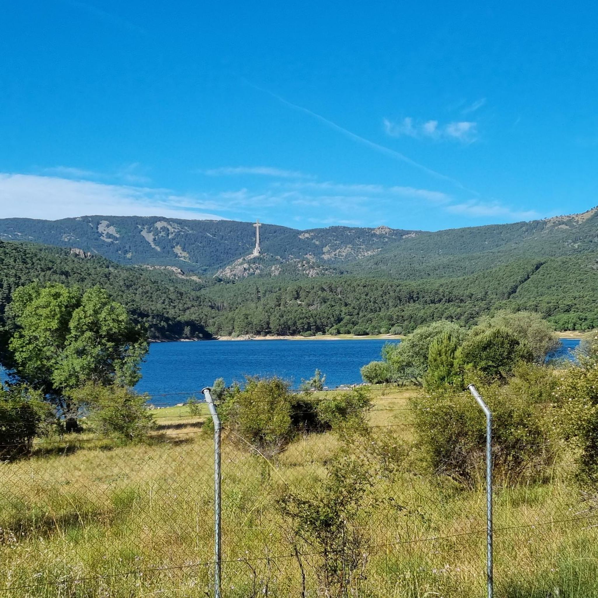
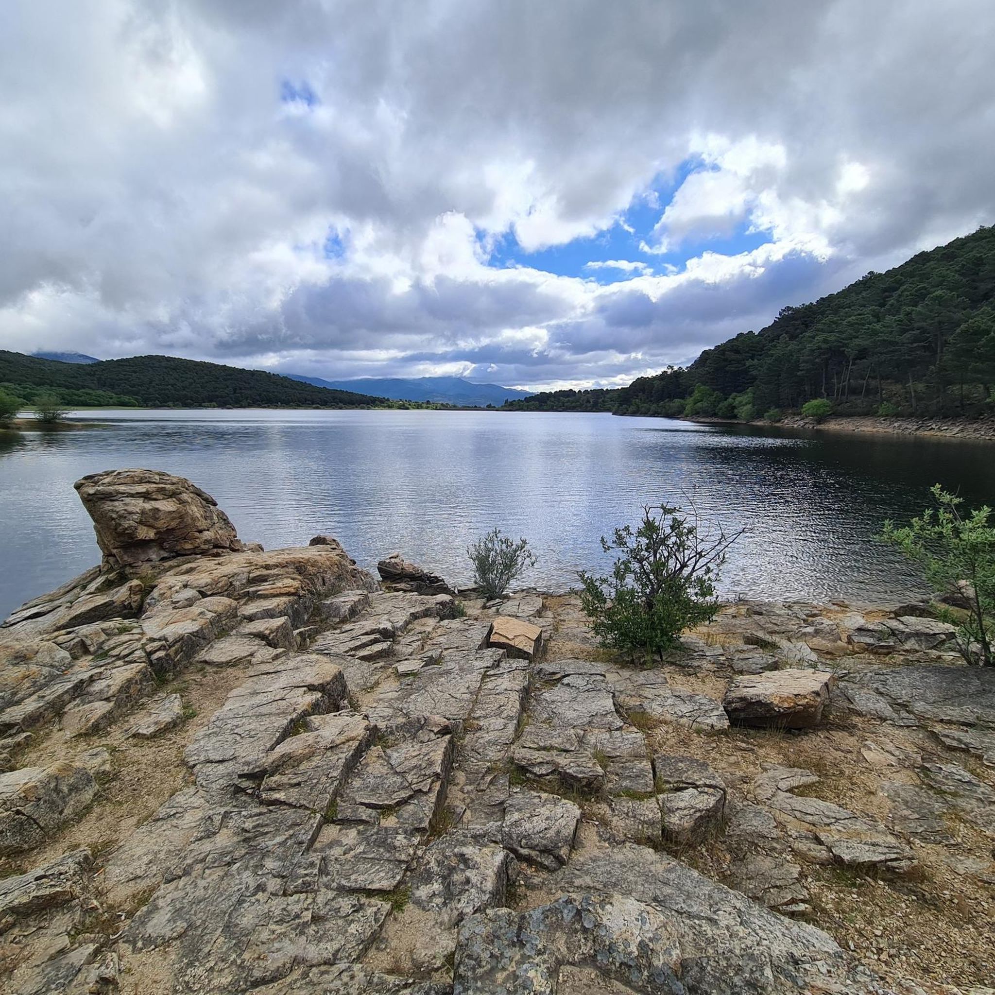
Views of the Jarosa reservoir and valley. You can see the Guadarrama mountain range, with Mount Abantos and the Cuelgamuros valley to the southwest, the Alto de Guadarrama, the Peña del Águila, the Peñota, the Siete Picos and the Cuerda Larga. Also the foothills, with the Valmayor reservoir.
0
0

The path reaches the hill where the old Gargantilla hill track climbs to the left and begins the final stretch of the climb to the top of Cueva Valiente (1,903 m). On the meadow there is a well-kept mountain refuge and natural granite sculptures, it is a summit with unattainable design and views. The negative 600 meters of the descent begin on the path marked with stone markers towards the north slope. The abyss where San Rafael is is overwhelming. The path overcomes a steep slope in a few meters, passes through the detour of the cave that gives its name to the mountain and ends in the meadow of the Peñotillo hill, turning left along a technical path that goes down towards the Gargantilla hill. Before reaching the hill, known for the reconstructed forts from the Civil War, the trail turns to the right and continues the frenetic descent down the Gargantilla stream ravine. On some stones there are points of red paint along paths parallel to the stony main path.
0
1

Refugio de la Salamanca is located next to the hill of the same name, to get there you have to follow the GR 10. The views are spectacular.
1
0
An incredible viewpoint from the top of the summit of Cabeza Líjar, right next to the geodesic vertex. On a clear day we can easily recognize the La Jarosa reservoir.
1
1


더 살펴보기
다른 지역의 최고의 러닝 트레일 & 경로를 살펴보세요.
