관찰하다 최고의 등산 경로
4.8
(86)
682
등산객
34
하이킹
관찰하다에서 하이킹하며 이스트 티롤 구석 부분까지 살펴볼까요? 관찰하다에 있는 모든 하이킹 및 워킹 경로 컬렉션 중 가장 멋진 하이킹 경로를 엄선하여 소개해드릴게요. 다른 하이커가 공유한 실제 팁과 사진을 살펴보고 후기를 읽으며 마음에 드는 관찰하다 워킹 경로를 찾아보세요.
마지막 업데이트: 9월 14, 2026
5.0
(12)
67
등산객
어려운 등산 코스. 좋은 체력 필요. 튼튼한 신발을 신고 미끄러지지 않게 조심해야 하며, 높은 산을 오른 경험이 있어야 함.
4.3
(9)
29
등산객
보통 등산 코스. 좋은 체력 필요. 대부분 갈 수 있는 길. 미끄러지지 않게 조심해야 함.

5.0
(4)
22
등산객
6.30km
03:39
640m
640m
보통 등산 코스. 좋은 체력 필요. 대부분 갈 수 있는 길. 미끄러지지 않게 조심해야 함.
5
등산객
보통 등산 코스. 모든 체력 수준에 적합. 대부분 갈 수 있는 길. 미끄러지지 않게 조심해야 함.
5.0
(4)
22
등산객
9.98km
04:47
700m
700m
보통 등산 코스. 좋은 체력 필요. 대부분 갈 수 있는 길. 미끄러지지 않게 조심해야 함.
더 다양한 경로와 다른 탐험가들의 추천을 살펴보세요.
이미 komoot 계정이 있나요?
투어 추천은 다른 사람들이 komoot에서 완료한 수천 개의 활동을 바탕으로 구성되어 있습니다.
오늘 무료 계정으로 시작하세요
다음 모험이 기다리고 있어요.

커뮤니티 팁

2021년 업데이트 - 그동안 작은 공식 정상 십자가가 세워졌습니다 (사진 참조), 스탬프 장소에서 몇 미터 떨어진 곳에 있습니다. Hinterbergkofel은 사람이 많이 찾는 Rote Wand보다 훨씬 조용하며, 아름다운 초원 고원에서 머물기 좋습니다. 맑은 날에는 돌로미티(심지어 3 Zinnen이 있는 섹스너 돌로미티까지) + 베네디거 그룹까지 볼 수 있습니다 - 절대적으로 추천합니다. 불편한 마지막 오르막길은 자갈밭을 지나야만 합니다 😅
0
0

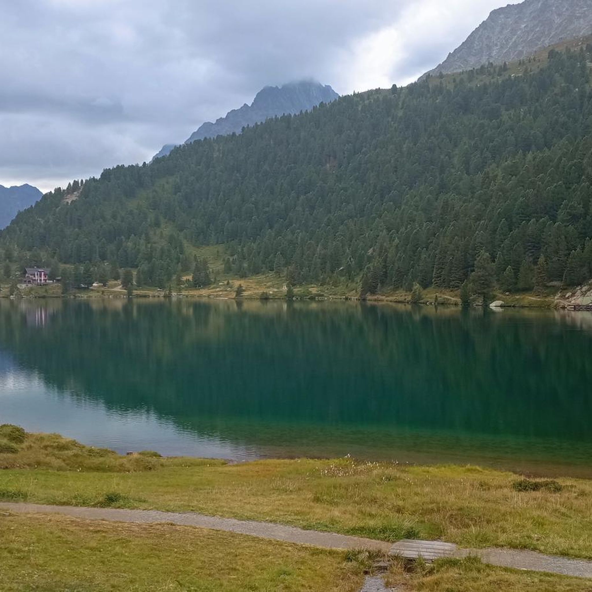
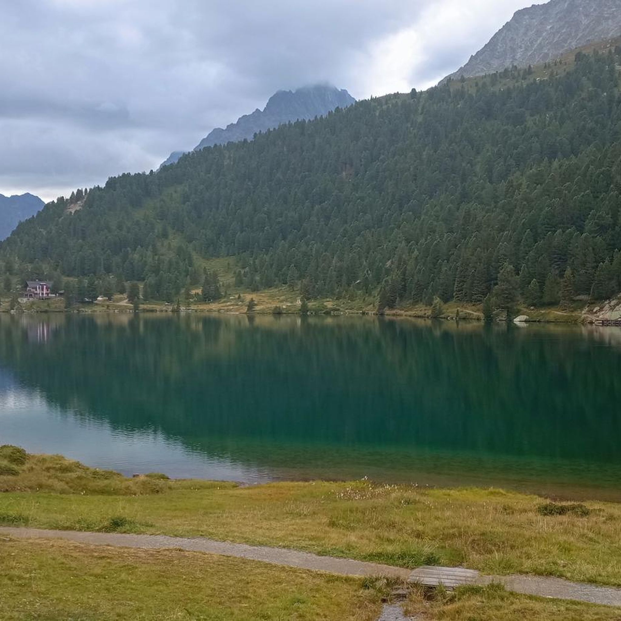
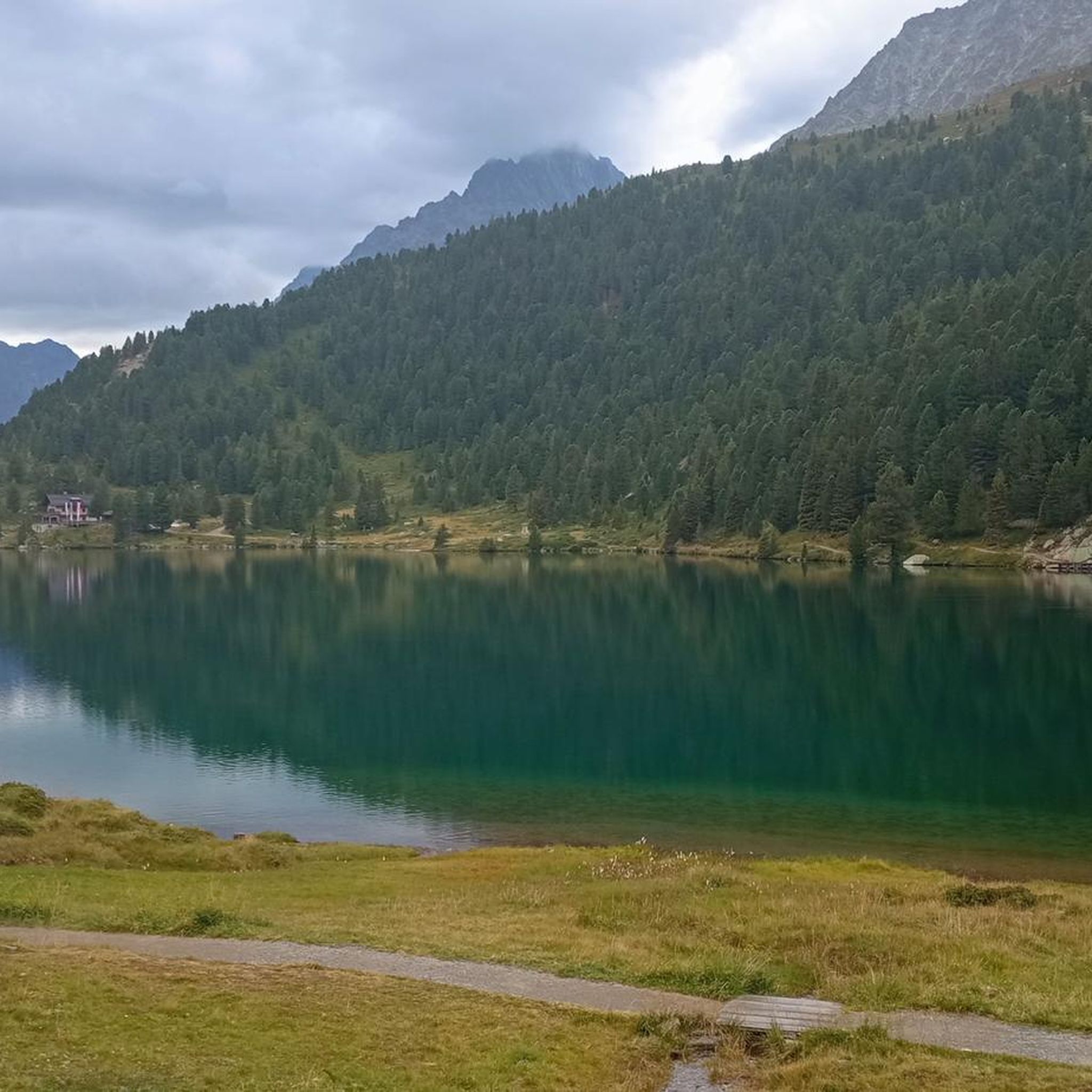
북쪽 해안에서는 보드로 만들어진, 해안 풍경에 아름답게 통합된 길을 따라 호수를 걸을 수 있습니다.
8
0


The wooden plank walkways were laid across marshland on the northern shore of the lake to protect the fragile natural environment. They offer spectacular views of the lake and the surrounding mountains of the Rieserferner Group. The plank walkways are part of the 3.4 to 3.5-kilometer circular trail, which provides information about the local flora and fauna, as well as the formation of the lake, via information panels.
3
1
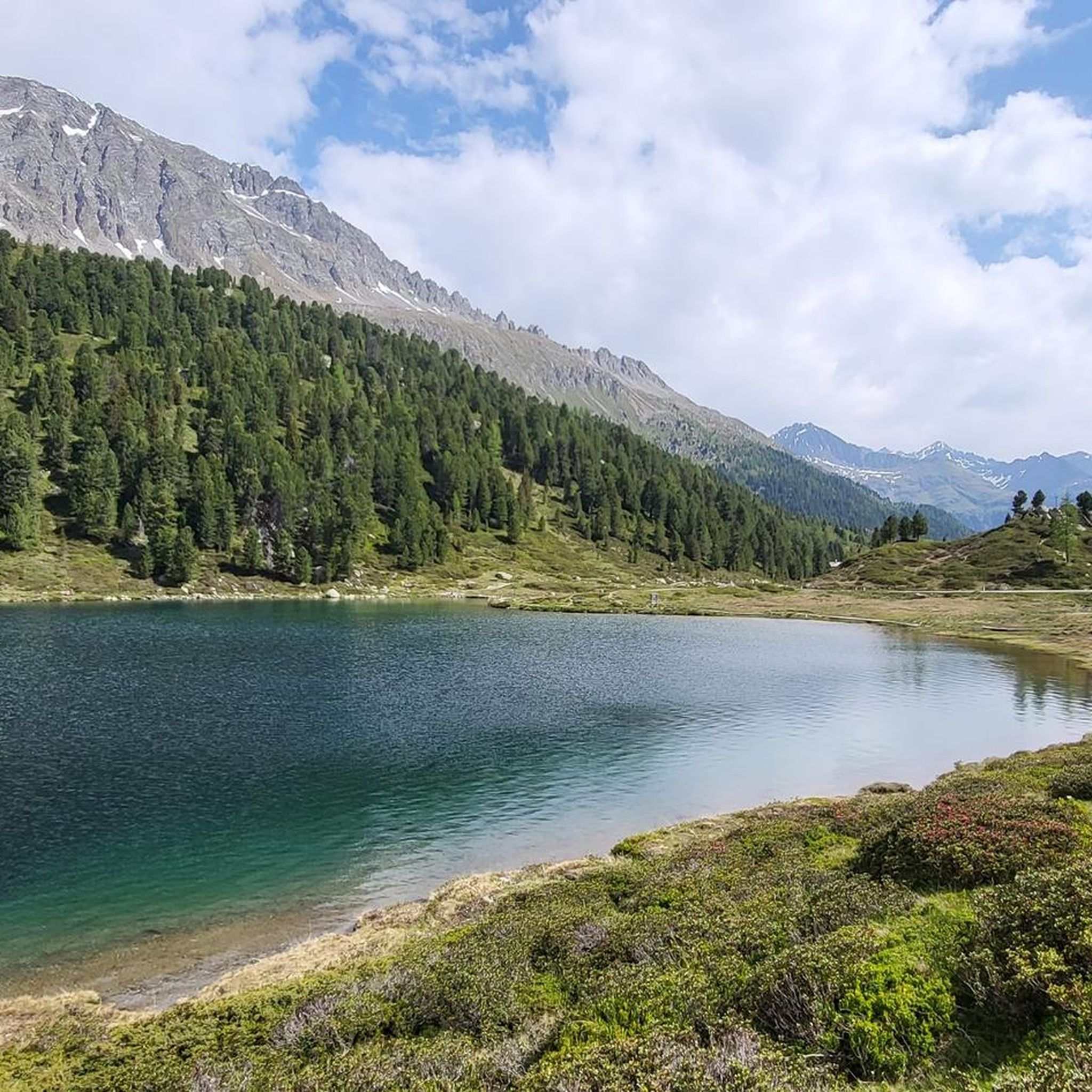
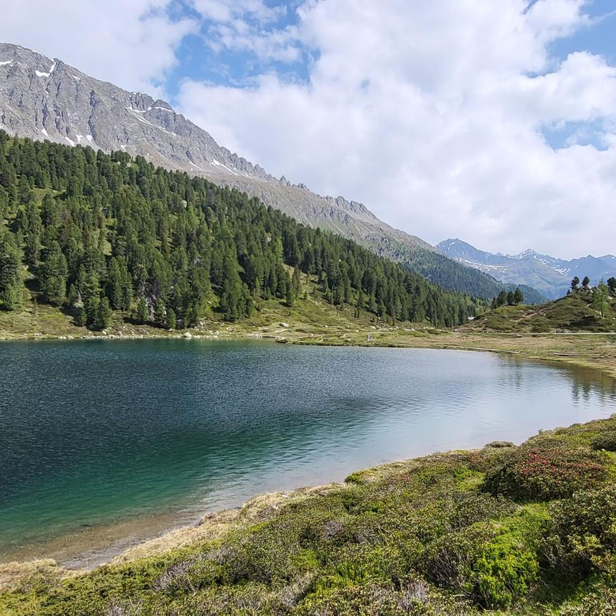
The lake's water shimmers in impressive turquoise-green hues. With a surface area of approximately 44 hectares, it is the third-largest natural lake in South Tyrol. It has a maximum depth of 38 meters. It probably formed at the end of the last Ice Age by a natural landslide or rockslide that blocked the valley and dammed the water. Due to its altitude and low water temperature (below 17°C year-round), it is not a bathing lake, but a typical cold mountain lake. A lovely path, partly on wooden boardwalks, leads us around the lake.
3
0
The lake's water shimmers in impressive turquoise-green hues. With a surface area of approximately 44 hectares, it is the third-largest natural lake in South Tyrol. It has a maximum depth of 38 meters. It probably formed at the end of the last Ice Age by a natural landslide or rockslide that blocked the valley and dammed the water. Due to its altitude and low water temperature (below 17°C year-round), it is not a bathing lake, but a typical cold mountain lake. A lovely path, partly on wooden boardwalks, leads us around the lake.
1
0

Very beautifully situated lake near the biathlon stadium, which is not so careless for many people, it is not so crowded and littered with crowds
2
0

관찰하다 주변에서 가장 인기 있는 명소


더 살펴보기
다른 지역의 최고의 산악 하이킹 & 경로를 살펴보세요.
