관찰하다 최고의 워킹 & 하이킹 경로
4.6
(7183)
36,579
등산객
18
하이킹
관찰하다 최고의 하이킹과 워킹을 찾으시나요? 그렇다면 아름다운 이스트 티롤 호수 주변에 있는 경로 컬렉션을 아래에서 살펴보세요. 관찰하다에 있는 하이킹 트레일 중에서 마음에 드는 곳을 선택해 언제든지 야외 활동을 하면 돼요.
마지막 업데이트: 9월 8, 2026
4.8
(458)
1,981
등산객
9.84km
03:20
450m
450m
보통 하이킹. 좋은 체력 필요. 대부분 갈 수 있는 길. 미끄러지지 않게 조심해야 함.
4.8
(29)
232
등산객
보통 하이킹. 모든 체력 수준에 적합. 대부분 갈 수 있는 길. 미끄러지지 않게 조심해야 함.

4.8
(20)
148
등산객
7.07km
03:36
560m
560m
어려운 하이킹. 좋은 체력 필요. 튼튼한 신발을 신고 미끄러지지 않게 조심해야 하며, 높은 산을 오른 경험이 있어야 함.
4.7
(33)
164
등산객
6.20km
02:29
310m
310m
보통 하이킹. 좋은 체력 필요. 대부분 갈 수 있는 길. 미끄러지지 않게 조심해야 함.
4.5
(8)
40
등산객
9.75km
05:09
840m
840m
어려운 하이킹. 우수한 체력 필요. 튼튼한 신발을 신고 미끄러지지 않게 조심해야 하며, 높은 산을 오른 경험이 있어야 함.
더 다양한 경로와 다른 탐험가들의 추천을 살펴보세요.
이미 komoot 계정이 있나요?
투어 추천은 다른 사람들이 komoot에서 완료한 수천 개의 활동을 바탕으로 구성되어 있습니다.
오늘 무료 계정으로 시작하세요
다음 모험이 기다리고 있어요.

커뮤니티 팁

2021년 업데이트 - 그동안 작은 공식 정상 십자가가 세워졌습니다 (사진 참조), 스탬프 장소에서 몇 미터 떨어진 곳에 있습니다. Hinterbergkofel은 사람이 많이 찾는 Rote Wand보다 훨씬 조용하며, 아름다운 초원 고원에서 머물기 좋습니다. 맑은 날에는 돌로미티(심지어 3 Zinnen이 있는 섹스너 돌로미티까지) + 베네디거 그룹까지 볼 수 있습니다 - 절대적으로 추천합니다. 불편한 마지막 오르막길은 자갈밭을 지나야만 합니다 😅
0
0

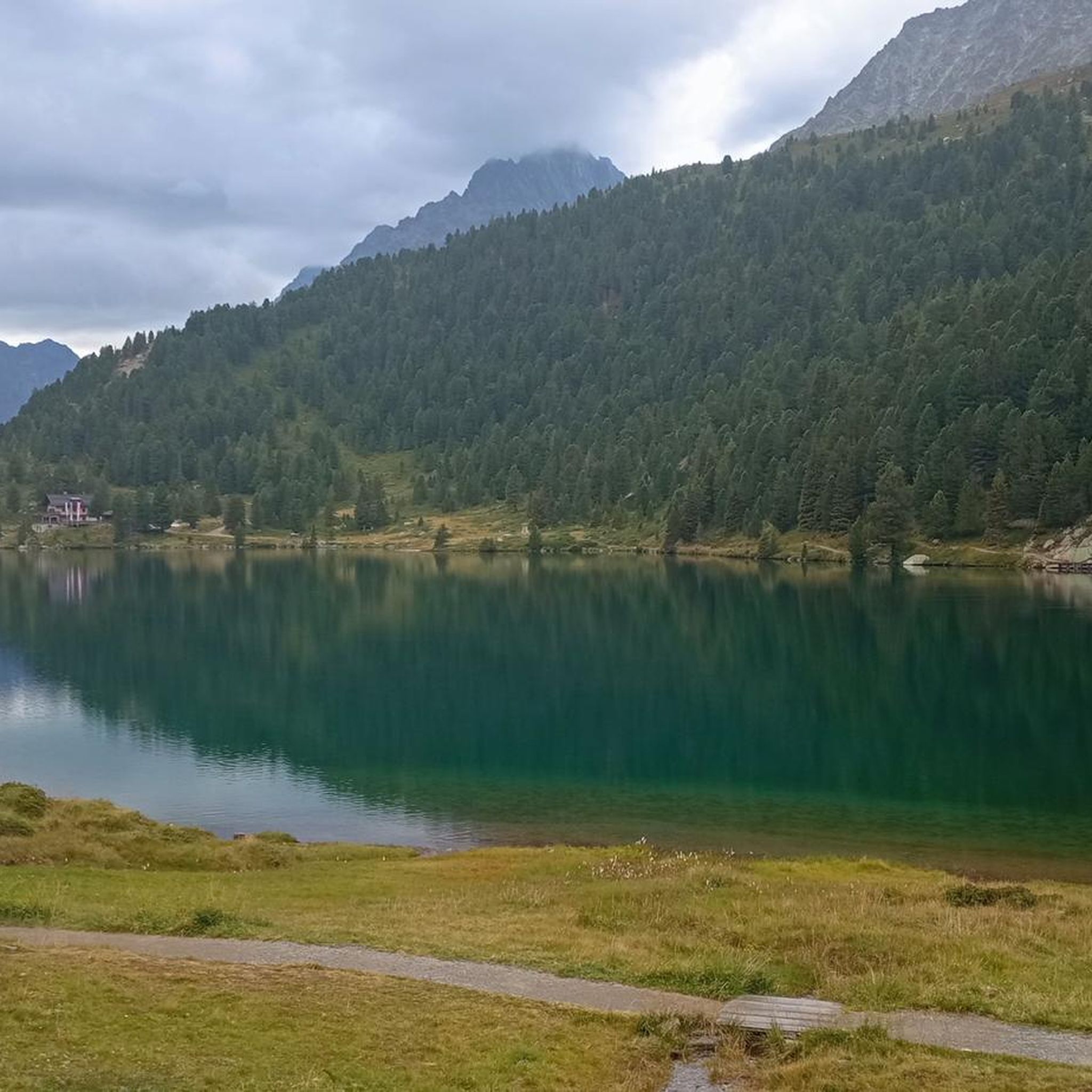
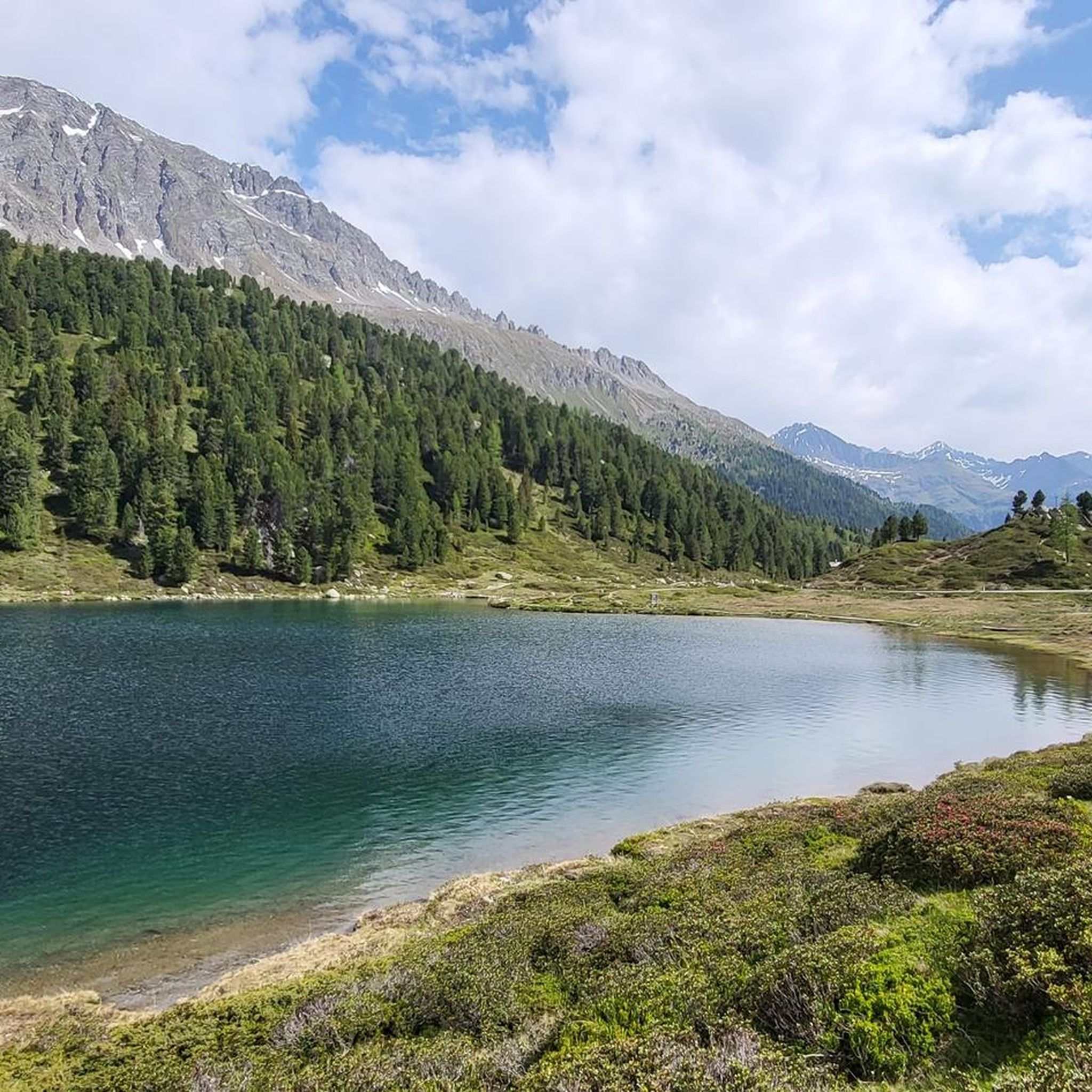
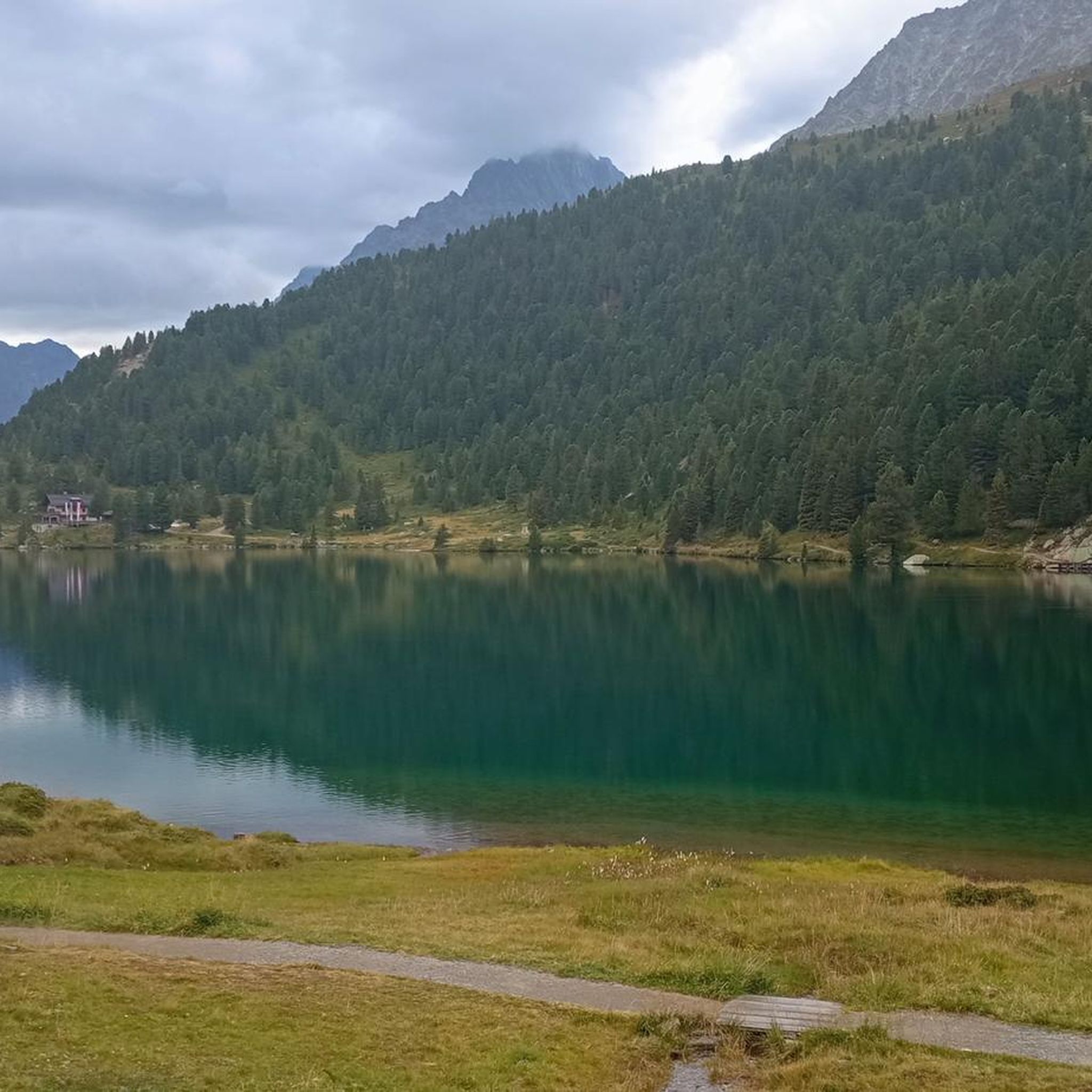
약 3.5km 길이의 길을 따라 호수를 한 바퀴 돌 수 있으며, 약 90m의 고도 변화가 있습니다. 하이킹 중에는 아름다운 색상의 호수를 계속해서 멋지게 조망할 수 있습니다.
8
0

약 3.5km 길이의 길을 따라 호수를 둘러볼 수 있으며, 약 90m의 고도 변화가 있습니다. 하이킹 중에는 아름다운 색상의 호수를 계속해서 멋지게 조망할 수 있습니다.
8
0

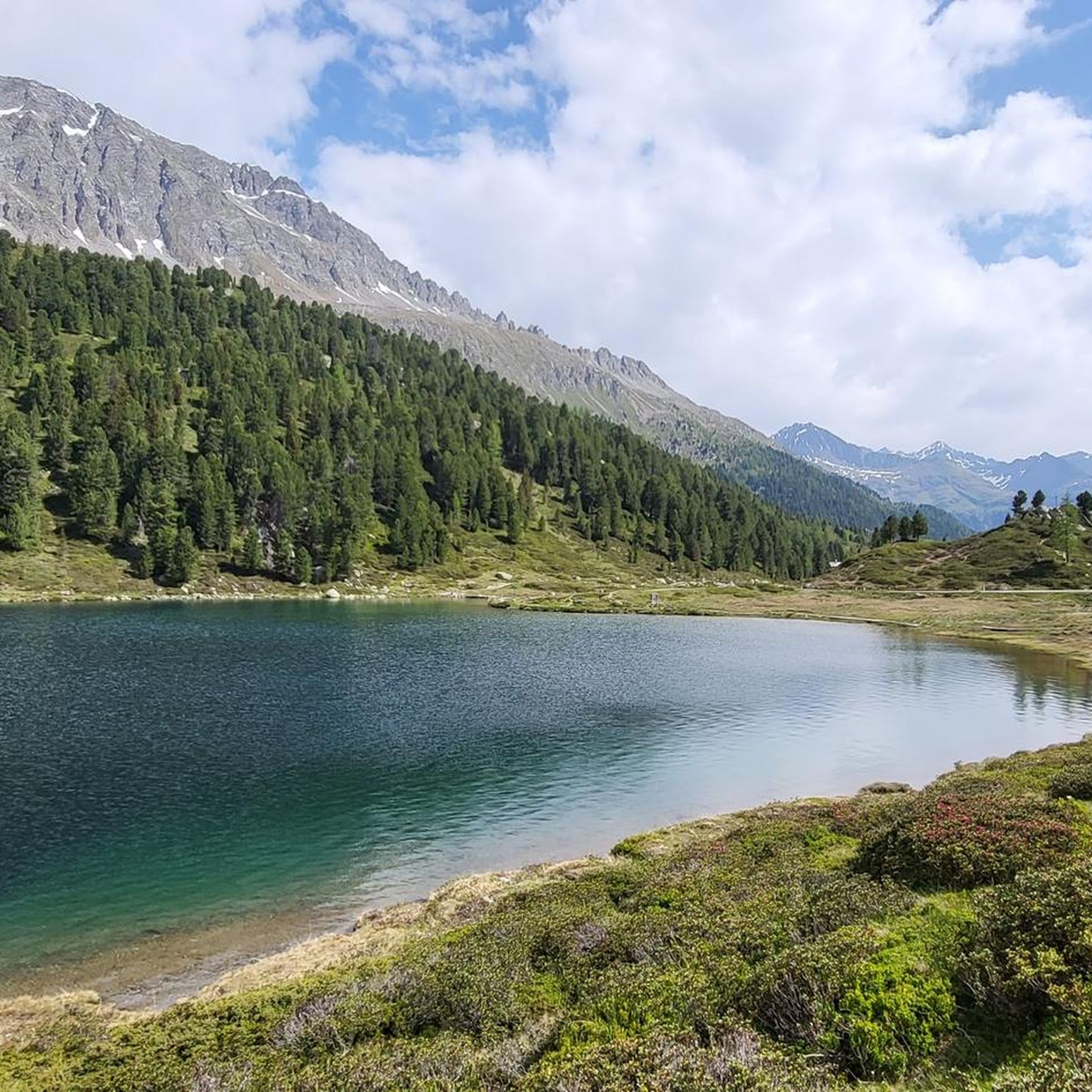
The lake's water shimmers in impressive turquoise-green hues. With a surface area of approximately 44 hectares, it is the third-largest natural lake in South Tyrol. It has a maximum depth of 38 meters. It probably formed at the end of the last Ice Age by a natural landslide or rockslide that blocked the valley and dammed the water. Due to its altitude and low water temperature (below 17°C year-round), it is not a bathing lake, but a typical cold mountain lake. A lovely path, partly on wooden boardwalks, leads us around the lake.
3
0
The lake's water shimmers in impressive turquoise-green hues. With a surface area of approximately 44 hectares, it is the third-largest natural lake in South Tyrol. It has a maximum depth of 38 meters. It probably formed at the end of the last Ice Age by a natural landslide or rockslide that blocked the valley and dammed the water. Due to its altitude and low water temperature (below 17°C year-round), it is not a bathing lake, but a typical cold mountain lake. A lovely path, partly on wooden boardwalks, leads us around the lake.
1
0

A beautiful vantage point. Lake Antholz is on the lower left, and Lake Obersee is on the right. The steep road up to the Staller Sattel is also clearly visible from here. An overview board provides additional orientation!
0
0
What a view of Lake Obersee! Fantastic! It's a bit of a climb to get up here, of course. But it's worth it. And the Two Lakes View is also nearby.
0
0
관찰하다 주변에서 가장 인기 있는 명소


더 살펴보기
다른 지역의 최고의 하이킹를 살펴보세요.
