알세리오 호수 최고의 워킹 & 하이킹 경로
4.4
(6051)
30,830
등산객
496
하이킹
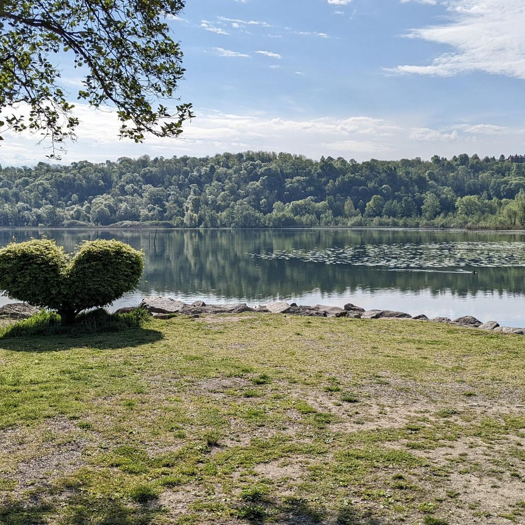
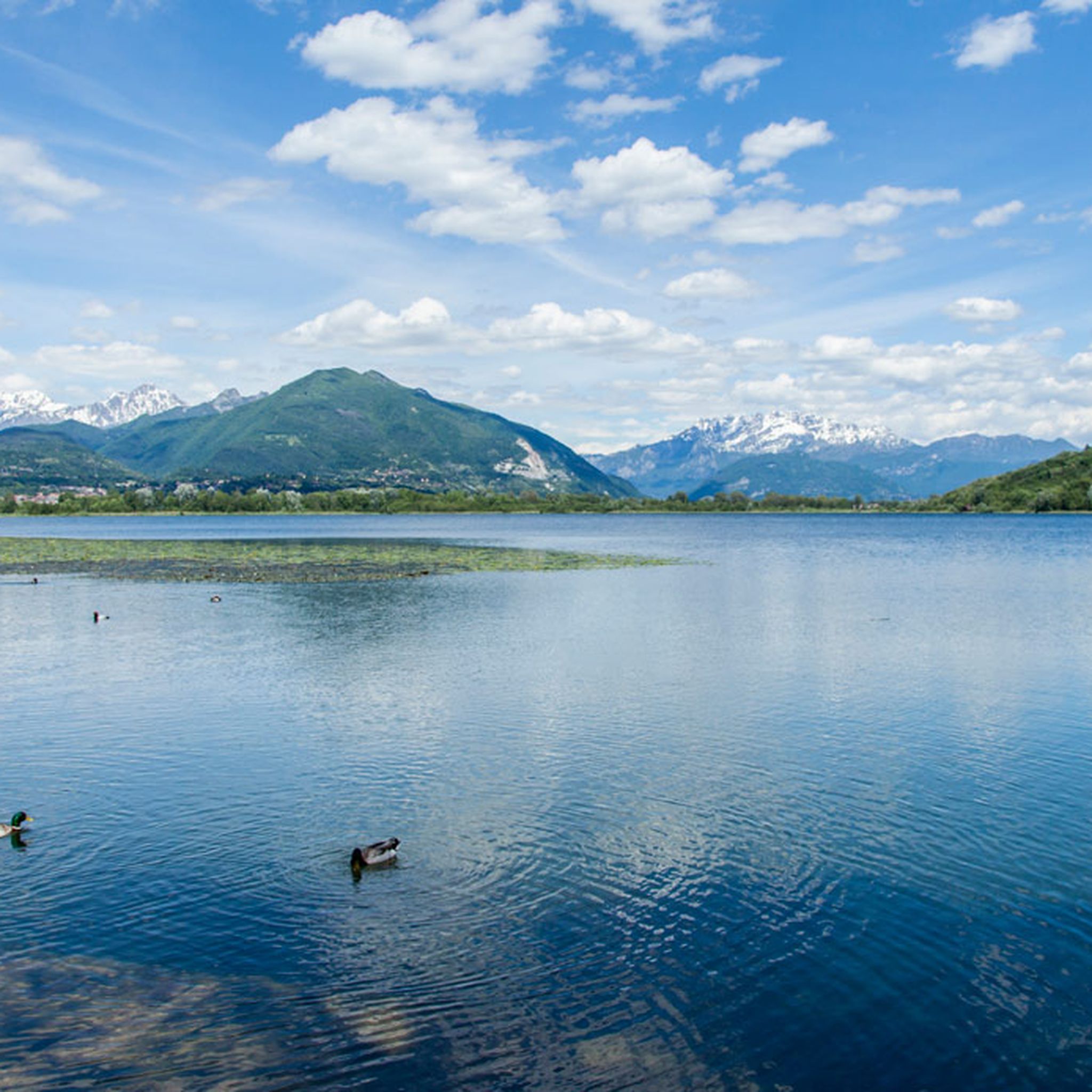
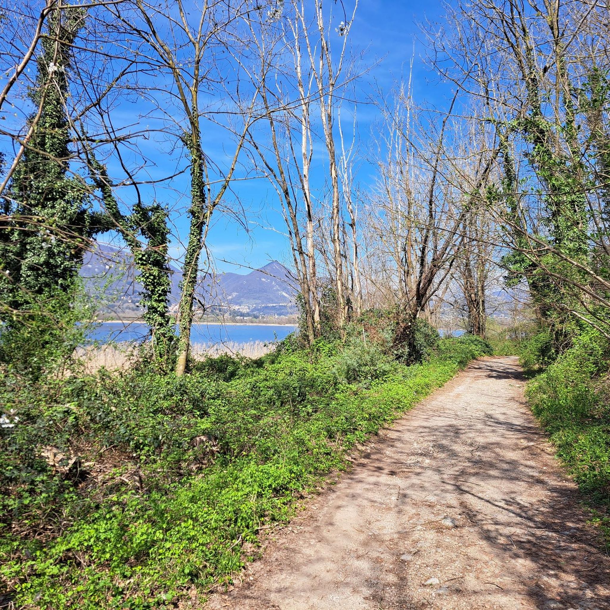
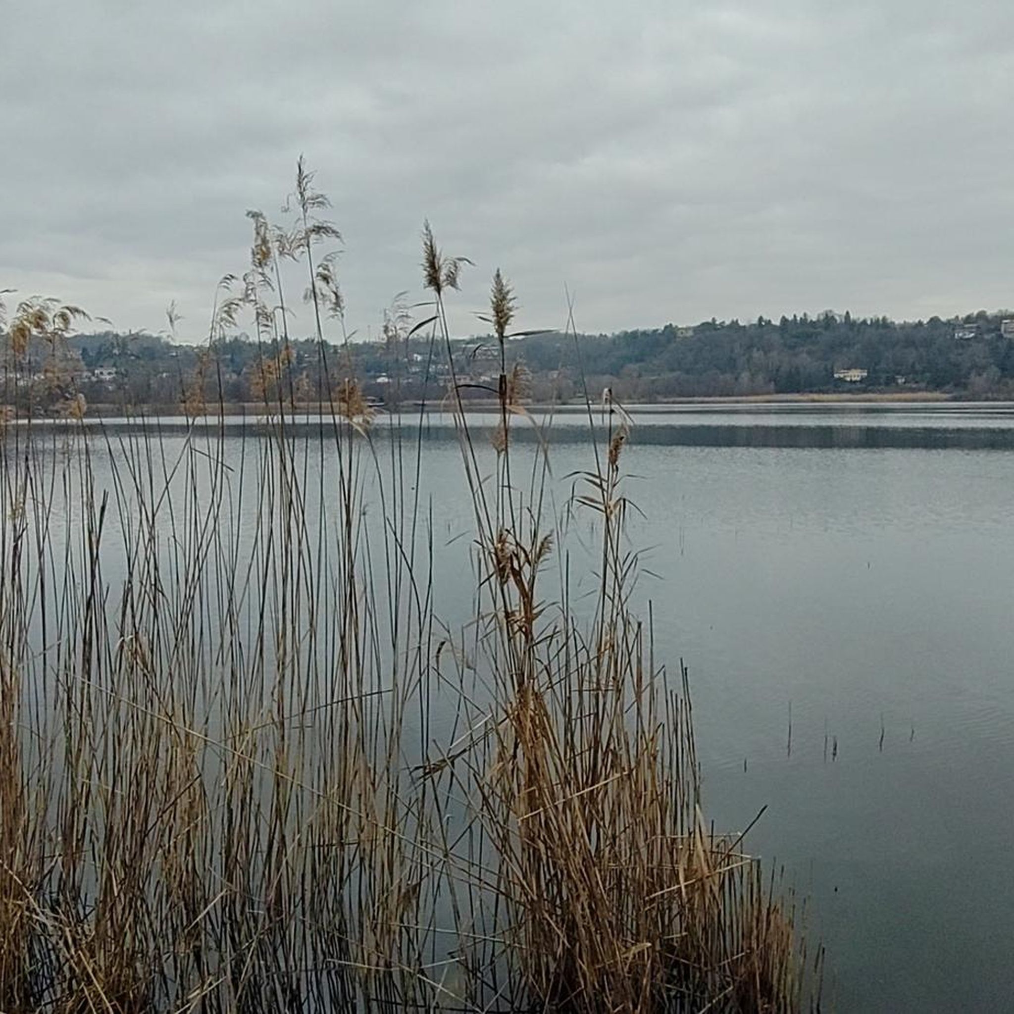
알세리오 호수 주변 하이킹은 이탈리아 롬바르디아 지역의 브리안차 내에서 다양한 풍경을 제공합니다. 이 지역은 광활한 갈대밭이 있는 호수의 보호 습지 보호구역으로 특징지어지며, 다양한 조류 서식지를 제공합니다. 호수 주변에는 부에르가 언덕과 같은 삼림이 우거진 언덕과 모레인 언덕이 있어 탐험을 위한 다양한 지형을 제공합니다. 알세리오 호수 자체는 빙하 기원으로, 라리아노 삼각주의 산기슭에 있는 이 지역의 독특한 지질학적 특징에 기여합니다.
알세리오 호수 주변 최고의 하이킹 코스
- 가장 인기 있는 하이킹 코스는 알세리오 호수 호숫가 트레일 – 알세리오에서 출발하는 알세리오 호수 루프로, 5.1마일(8.2km)…
마지막 업데이트: 8월 18, 2026
3.5
(2)
28
등산객
8.18km
02:15
130m
130m
보통 하이킹. 좋은 체력 필요. 실력과 관계없이 누구나 쉽게 갈 수 있는 길.
4.5
(4)
7
등산객
3.90km
01:07
90m
90m
초급용 하이킹. 모든 체력 수준에 적합. 실력과 관계없이 누구나 쉽게 갈 수 있는 길.

무료 회원 가입
4.1
(42)
100
등산객
12.1km
03:15
150m
150m
Hike the moderate 7.5-mile Lake Alserio loop trail through Parco Regionale della Valle del Lambro, enjoying lake views and historical sites.
4.6
(43)
308
등산객
24.6km
08:47
1,340m
1,340m
어려운 하이킹. 우수한 체력 필요. 대부분 갈 수 있는 길. 미끄러지지 않게 조심해야 함.
3.4
(5)
46
등산객
5.98km
01:36
70m
70m
초급용 하이킹. 모든 체력 수준에 적합. 실력과 관계없이 누구나 쉽게 갈 수 있는 길.
더 다양한 경로와 다른 탐험가들의 추천을 살펴보세요.
무료 회원 가입
이미 komoot 계정이 있나요?
투어 추천은 다른 사람들이 komoot에서 완료한 수천 개의 활동을 바탕으로 구성되어 있습니다.
오늘 무료 계정으로 시작하세요
다음 모험이 기다리고 있어요.
로그인 또는 가입하기

커뮤니티 팁

Beautiful summit where you have a 360° view
1
1

crossroads between Alpe del Prina, Palanzo, Rif. Riella
0
0

Cima Very beautiful and very panoramic on the lake
0
0


Rifugio Riella is located at about 1,275 meters above sea level on the western side of Monte Palanzone, in the municipality of Faggeto Lario, in the province of Como. Built in 1908 by the Pizzo Badile Club and dedicated to Angelo Riella, the refuge was renovated in 2008. Managed by Marco Brenna, it offers 25 beds and a dining area with 60 seats inside and another 30 seats outside. It is equipped with services such as hot water, heating and a rock gym for sport climbing. The refuge is open all year round, with variable hours: during the months of July and August it is open every day, while during the rest of the year it is available on weekends and Wednesdays. It is advisable to check the opening hours and book in advance, especially during periods of high attendance. To reach Rifugio Riella, you can start from Colma di Sormano, a pass located at 1,124 meters above sea level, and follow a well-marked path that leads to the refuge in about 1 hour and 30 minutes, with a difference in altitude of 300 meters. Once there, visitors can enjoy a spectacular panoramic view of Lake Como and the Lombard Prealps, making Rifugio Riella an ideal destination for excursions and outdoor activities, but also for moments of relaxation immersed in nature.
2
2
Monte Bul is a mountain located in the municipality of Caglio, in the province of Como, in the Larian Prealps, with an altitude of about 1,406 meters. This mountain is part of the Dorsale Lariana Como-Bellagio and, although it is less known than the nearby Monte Palanzone, it offers spectacular views of the Lambro Valley, Lake Como and the surrounding mountains. The climb to Monte Bul is a challenging hike, suitable for hikers with good physical preparation. The route, which generally starts from Caglio or Sormano, passes through woods and clearings and has steep sections, making the climb quite tiring but rewarding. Once at the top, you can enjoy a panoramic view that extends over the lake and the surrounding peaks. From Monte Bul, it is possible to continue towards other peaks of the Larian Prealps, such as Monte Palanzone or Monte San Primo, creating a hiking ring that allows you to explore various peaks in the area. The best time to hike is in spring or autumn, when the climate is mild and the surrounding vegetation is particularly lush. It is important to check the weather and snow reports before starting the hike to ensure safety during the journey.
3
0
Rifugio Riella is located on Mount Palanzone, in the Lombardy Prealps, in the province of Como. It is a reference point for hikers who want to explore the surrounding area, characterized by breathtaking views and trails suitable for different levels of difficulty.
0
0


더 살펴보기
다른 지역의 최고의 하이킹를 살펴보세요.
