레 카마제 최고의 워킹 & 하이킹 경로
4.3
(711)
4,687
등산객
116
하이킹
Les Cammazes 주변의 하이킹은 몽타뉴 누아르 내에서 울창한 숲, 중요한 호수, 역사적인 수로 등 다양한 풍경을 제공합니다. 이 지역은 고르주 뒤 소르와 로도 계곡을 포함한 다양한 지형으로 특징지어집니다. 트레일은 종종 카날 뒤 미디에 물을 공급하는 공학적 경이로움인 몽타뉴 누아르 운하를 따라 이어집니다. 이 지역은 독특한 미기후의 혜택을 받아 다양한 환경에 기여합니다.
Les Cammazes 주변 최고의 하이킹 트레일
- 가장 인기 있는 하이킹 코스는 Les Cammazes의 몽타뉴 누아르 운하 – 카마제스 댐 루프로, 7.9마일(12.8km) 길이이며 3시간 30분이 소요됩니다. 역사적인 운하를 따라가며…
마지막 업데이트: 10월 7, 2026
4.7
(3)
13
등산객
8.21km
02:17
150m
150m
보통 하이킹. 좋은 체력 필요. 실력과 관계없이 누구나 쉽게 갈 수 있는 길.
4.3
(3)
15
등산객
8.46km
02:16
100m
100m
보통 하이킹. 좋은 체력 필요. 실력과 관계없이 누구나 쉽게 갈 수 있는 길.

4.5
(2)
15
등산객
10.2km
02:50
190m
190m
보통 하이킹. 좋은 체력 필요. 실력과 관계없이 누구나 쉽게 갈 수 있는 길.
5.0
(1)
11
등산객
8.02km
02:13
140m
140m
보통 하이킹. 좋은 체력 필요. 실력과 관계없이 누구나 쉽게 갈 수 있는 길.
3.0
(1)
14
등산객
14.4km
03:56
220m
220m
보통 하이킹. 좋은 체력 필요. 실력과 관계없이 누구나 쉽게 갈 수 있는 길.
더 다양한 경로와 다른 탐험가들의 추천을 살펴보세요.
이미 komoot 계정이 있나요?
투어 추천은 다른 사람들이 komoot에서 완료한 수천 개의 활동을 바탕으로 구성되어 있습니다.
오늘 무료 계정으로 시작하세요
다음 모험이 기다리고 있어요.

커뮤니티 팁

La percée des Cammazes는 보방 돔 또는 Cammazes 터널이라고도 불리며, 1686년에서 1688년 사이에 건설된 길이 122미터, 폭 3미터의 아치형 터널로, 산의 수로가 생 페레올 저수지에 도달할 수 있게 합니다. 거대한 미디 운하의 구성 요소로서, 1996년부터 유네스코 세계 문화유산으로 등재되었으며 1997년 역사 기념물로 등록되었습니다[1]. 1686년 3월 5일자 메모에서 보방이 설계했으며, 몽타뉴 느와르 수로의 물을 소르 계곡에서 라우도 계곡으로, '에스카마스 산맥의 능선' 아래로 통과시키기 위한 것이었습니다. 한때 이 프로젝트를 고려했던 피에르-폴 리케는 1680년에 사망했습니다. (Wikipedia)
0
0

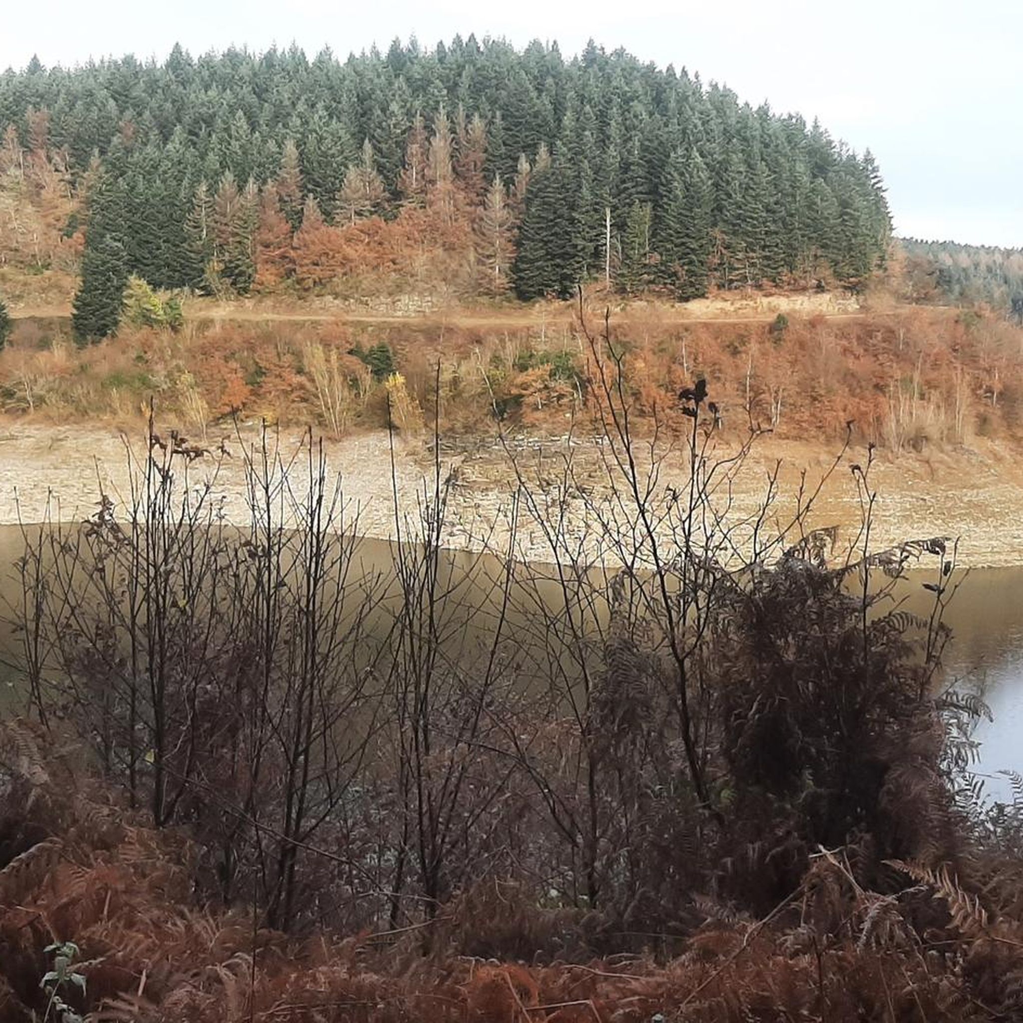
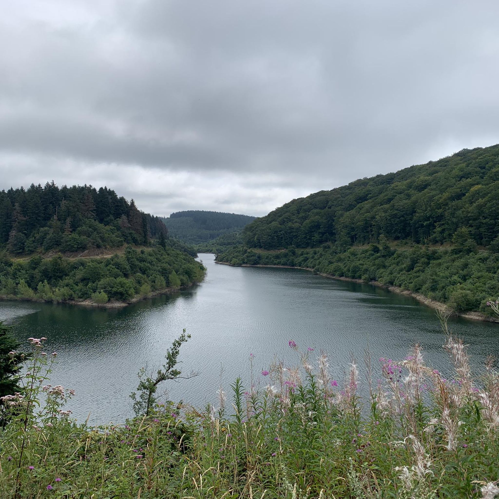
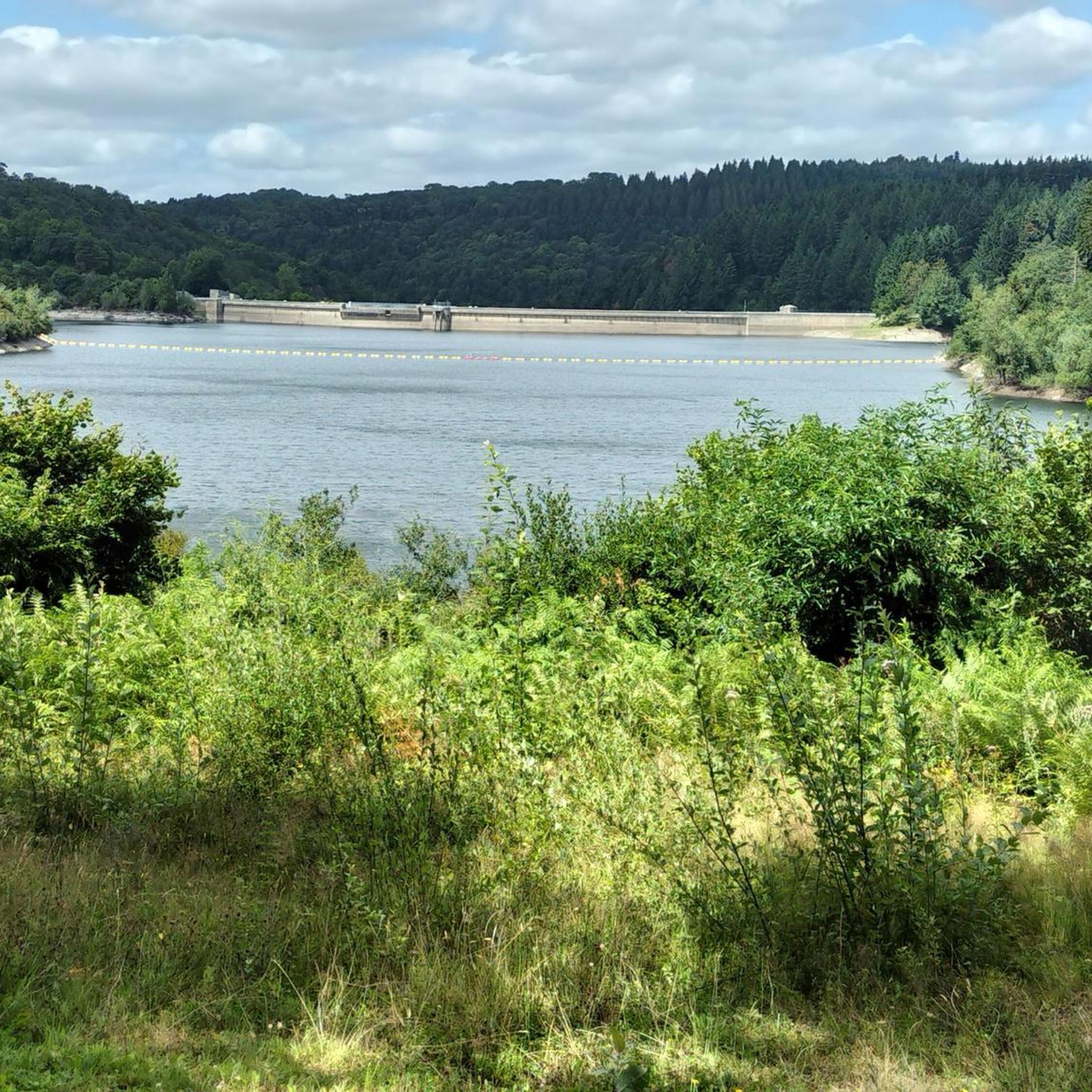
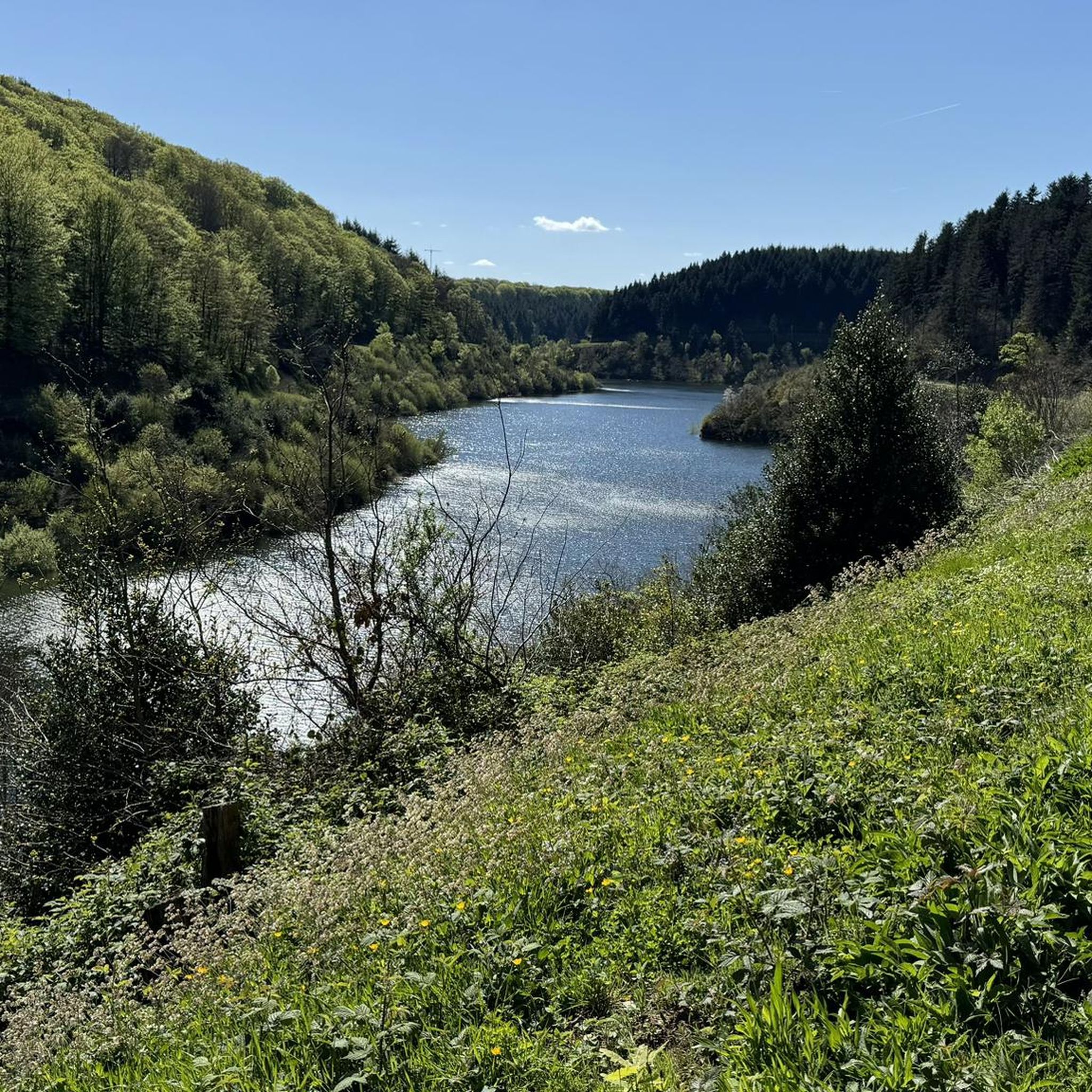
A slightly more extensive photo gallery with further pictures of this beautifully situated pond has been uploaded by hikers to the (sport-related) highlight; their pictures of "Lac de Cammazes" can be accessed via the following link =>> https://www.komoot.com/de-de/highlight/5578133
0
0

Nice and not very difficult unless there is an Autan wind
0
0

Superb and impressive, one of the 6 (main) lakes of the Montagne Noire, do not miss following the forest track which runs along its right bank.
0
0
The Rigole de la Montagne Noire is very pleasant to ride, ideal for a bucolic and family ride. Very shaded, do not miss the detour to the Lampy.
0
0


The Bassin du Lampy Neuf is a dam built to supply water to the Canal du Midi via the Rigole de la Montagne Noire. Originally the basin was located on the current site of Lampy Vieux but it was moved between 1777 and 1781, a hundred years after the creation of the Canal du Midi.
1
0
The Montagne Noire channel allows part of the water from the streams flowing naturally towards the Mediterranean side of the Canal du Midi via the Fresquel to be channeled towards the oceanic slope.
1
0
레 카마제 주변에서 가장 인기 있는 명소


더 살펴보기
다른 지역의 최고의 하이킹를 살펴보세요.
