락롱 최고의 러닝 경로
245
달리기 하는 사람
13
러닝
락롱에서 하이킹하며 니짜 구석 부분까지 살펴볼까요? 락롱에 있는 모든 하이킹 및 워킹 경로 컬렉션 중 가장 멋진 하이킹 경로를 엄선하여 소개해드릴게요. 다른 하이커가 공유한 실제 팁과 사진을 살펴보고 후기를 읽으며 마음에 드는 락롱 워킹 경로를 찾아보세요.
마지막 업데이트: 8월 23, 2026
46
달리기 하는 사람
12.8km
02:30
900m
900m
어려운 조깅. 우수한 체력 필요. 튼튼한 신발을 신고 미끄러지지 않게 조심해야 하며, 높은 산을 오른 경험이 있어야 함.
29
달리기 하는 사람
13.5km
03:02
1,160m
1,160m
어려운 조깅. 우수한 체력 필요. 튼튼한 신발을 신고 미끄러지지 않게 조심해야 하며, 높은 산을 오른 경험이 있어야 함.

무료 회원 가입
12
달리기 하는 사람
19.7km
03:53
1,530m
1,520m
어려운 조깅. 우수한 체력 필요. 튼튼한 신발을 신고 미끄러지지 않게 조심해야 하며, 높은 산을 오른 경험이 있어야 함.
27
달리기 하는 사람
11.6km
02:23
940m
940m
어려운 조깅. 우수한 체력 필요. 튼튼한 신발을 신고 미끄러지지 않게 조심해야 하며, 높은 산을 오른 경험이 있어야 함.
12
달리기 하는 사람
14.0km
02:44
1,000m
1,000m
어려운 조깅. 우수한 체력 필요. 튼튼한 신발을 신고 미끄러지지 않게 조심해야 하며, 높은 산을 오른 경험이 있어야 함.
더 다양한 경로와 다른 탐험가들의 추천을 살펴보세요.
무료 회원 가입
이미 komoot 계정이 있나요?
투어 추천은 다른 사람들이 komoot에서 완료한 수천 개의 활동을 바탕으로 구성되어 있습니다.
오늘 무료 계정으로 시작하세요
다음 모험이 기다리고 있어요.
로그인 또는 가입하기
락롱 주변 인기 장소

커뮤니티 팁

이 산장에서의 가격에 주의하세요: 전날 밤 풀 보드를 이용했음에도 불구하고 보온병에 담을 뜨거운 물 400ml 미만에 3유로를 지불하게 했습니다.
0
0


The Pas de l'Arpette (2511 m) is the gateway to the Merveilles Valley, from Vésubie. Effort and beautiful emotions guaranteed. From the Gordolasque car park, cross the Countet bridge (1692 m) and turn right at milestone 412, in the direction of Pas de l'Arpette (2511 m), which you reach after crossing the Empuonrame valley. Then we can move to the Merveilles Valley, which can be visited in the company of a guide approved by the Mercantour National Park to observe the more than 40,000 rock carvings, the oldest dating back to the Copper Age and the beginning of the Bronze Age. . Age. The return is made by the same route.
1
0
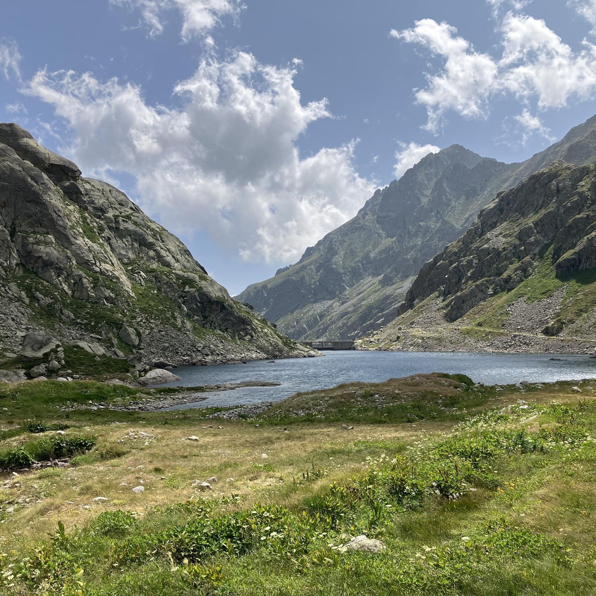
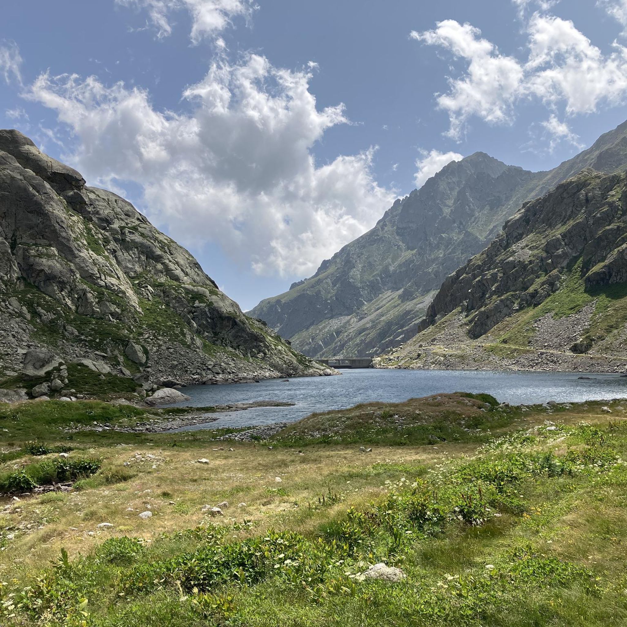
The refuge is located on the banks of the upper Long lake, in the heart of the rock engravings of the Vallée des Merveilles, surrounded by numerous lakes and peaks: Bégo, Grand Capelet, Cime du Diable... The refuge is located in an open-air museum. This exceptional archaeological site, classified as a historical monument, extends between two valleys around Mont Bégo. There are 40,000 rock engravings dating from -4000 to -2000 BC, which are marks of pastoral occupation. When you cross the Vallée des Merveilles on the GR, you feel an almost mystical and very unusual side.
1
0
The Nice refuge is located at 2,232 meters above sea level, in the town of Bélvédère, Alpes-Maritimes, in the Mercantour National Park.
0
0

This car park is located at the entrance to the Vallée des Merveilles in Mercantour. To get there, simply follow the signs indicating the hike. It is one of the most beautiful sites in the region!
1
0

First time visitors should be warned this is a refuge, not a hotel. As such don’t go expecting anything more than basic facilities. If you want a shower then it will be with cold water taken and filtered directly from the nearby lake. Without exception, we found the staff to be very friendly, as were all the hikers we spoke to. No matter if you arrive alone or with a group, everyone is staying at the refuge for the same reason as you, and this makes starting a conversation with someone you don’t know very easy. The advantages you get from staying in such a refuge is knowing you’ll be given somewhere dry and warm to sleep, plus something hot to eat. When it came close to having dinner everyone helped move all the rectangle tables into one long one, where we all then sat and enjoyed an amazing hot stew with bread. After dinner it was a quick cold shower. After which we relaxed outside for a while before kipping down for the night. Breakfast here was available, as was a packed lunch to take on our onward journey. All of course at extra cost. Like all refuges around the world, there is a limit to the amount of hikers each can accommodate at any one time. Because of this you’ll need to book a place well in advance of your trip. Arriving on the day looking for a place is unlikely to be successful unless a booking goes unfilled, which wouldn’t be noticeable until well after sunset. You can camp outside near the refuge but you’ll need to get permission first.
2
0

September 23 there is work on the first steep part of the descent towards ref. Nice. Beautiful steps have been made to make the descent safer.
0
0
락롱 주변에서 가장 인기 있는 경로


더 살펴보기
다른 지역의 최고의 러닝 트레일 & 경로를 살펴보세요.
