리켈스뷜러 쿠그 최고의 워킹 & 하이킹 경로
4.4
(446)
1,755
등산객
81
하이킹
리켈스뷜러 쿠그에서 최고의 하이킹과 워킹을 찾으시나요? 그렇다면 아름다운 북 프리지아 자연공원 주변에 있는 경로 컬렉션을 아래에서 살펴보세요. 리켈스뷜러 쿠그에 있는 하이킹 트레일 중에서 마음에 드는 곳을 선택해 언제든지 야외 활동을 하면 돼요.
마지막 업데이트: 9월 14, 2026
4.3
(34)
72
등산객
15.0km
03:46
10m
10m
보통 하이킹. 좋은 체력 필요. 실력과 관계없이 누구나 쉽게 갈 수 있는 길.
4.3
(30)
66
등산객
14.5km
03:38
10m
10m
보통 하이킹. 좋은 체력 필요. 실력과 관계없이 누구나 쉽게 갈 수 있는 길.

4.2
(17)
89
등산객
5.06km
01:16
0m
0m
초급용 하이킹. 모든 체력 수준에 적합. 실력과 관계없이 누구나 쉽게 갈 수 있는 길.
4.6
(5)
25
등산객
8.54km
02:08
0m
0m
보통 하이킹. 좋은 체력 필요. 실력과 관계없이 누구나 쉽게 갈 수 있는 길.
4.7
(3)
8
등산객
5.98km
01:30
0m
초급용 하이킹. 모든 체력 수준에 적합. 실력과 관계없이 누구나 쉽게 갈 수 있는 길.
더 다양한 경로와 다른 탐험가들의 추천을 살펴보세요.
이미 komoot 계정이 있나요?
투어 추천은 다른 사람들이 komoot에서 완료한 수천 개의 활동을 바탕으로 구성되어 있습니다.
오늘 무료 계정으로 시작하세요
다음 모험이 기다리고 있어요.
리켈스뷜러 쿠그 주변 인기 장소
커뮤니티 팁

Rickelsbüller Koog의 건설은 1979년에 시작되었고, 1981년에 개장했습니다. 이 지역은 1615년 12월 1일 대홍수로 사라진 Rickelsbüll 마을의 이름을 따서 명명되었으며, 그 유적은 Wiedingharder Neuen Koog와 Rickelsbüller Koog 사이의 제방 아래에 있습니다. 1982년에 이 Koog는 자연 보호 구역으로 선포되어 이전의 보호 구역인 "Vogelfreistätte Wattenmeer östlich Sylt"를 대체했습니다. 1997년 12월 10일, 슐레스비히-홀슈타인 주 정부는 독일어와 덴마크어로 서식하는 조류 종에 대한 정보를 제공하는 정보관을 개장했습니다.
0
0

댐 출입은 엄격히 금지되며 철도 교통에 대한 심각한 방해 행위로 형사 처벌됩니다. 이 구간은 부분적으로 열화상 카메라로 감시됩니다.
0
0

Northernmost point of mainland Germany It's not spectacular, but if you're cycling the North Sea Cycle Route, it's a must-see. Seeing this spot is a must 😉. There's a shelter in the parking lot for shelter in case of rain. There's also information about the dike construction and the Wadden Sea.
2
0

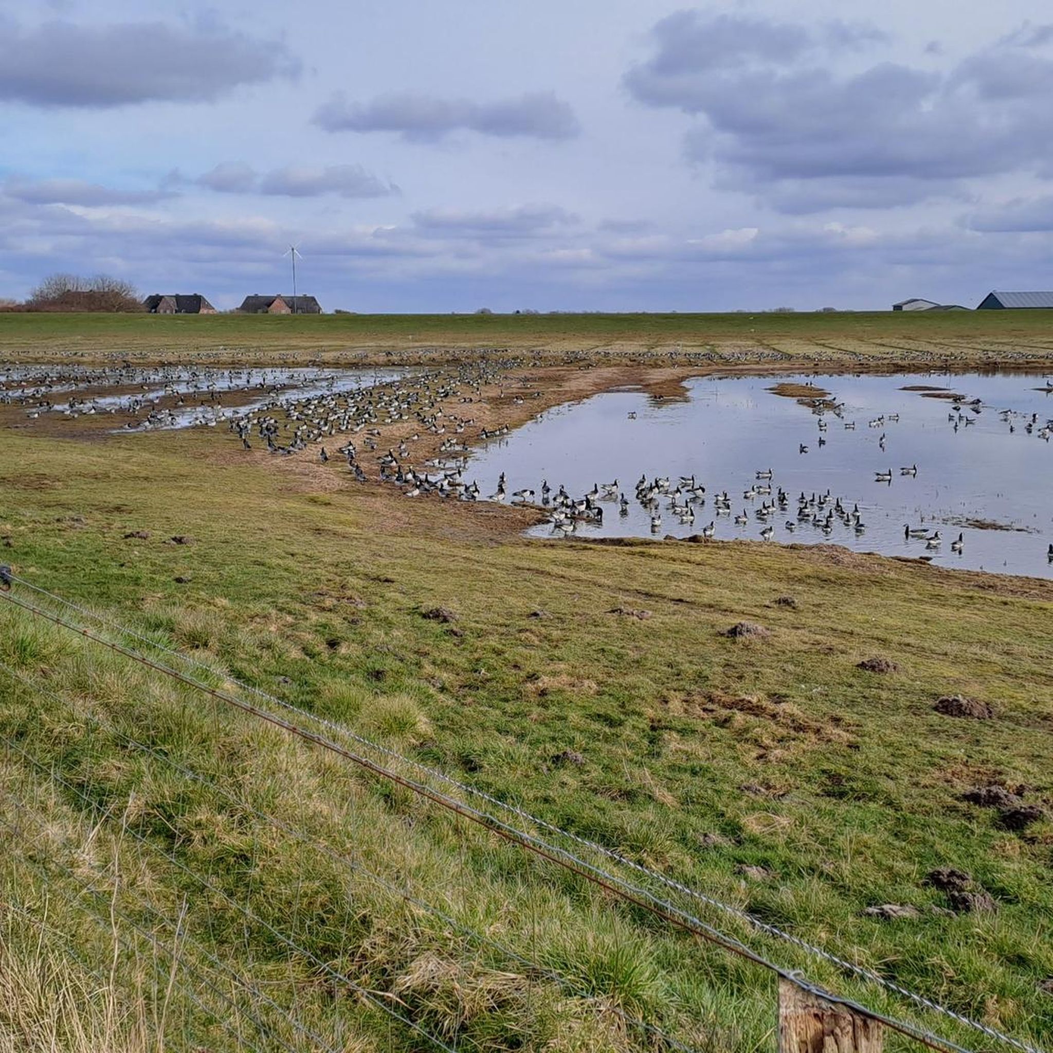
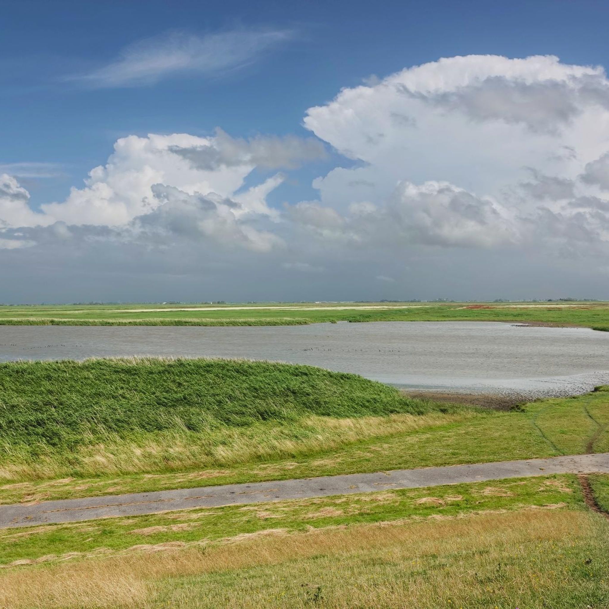
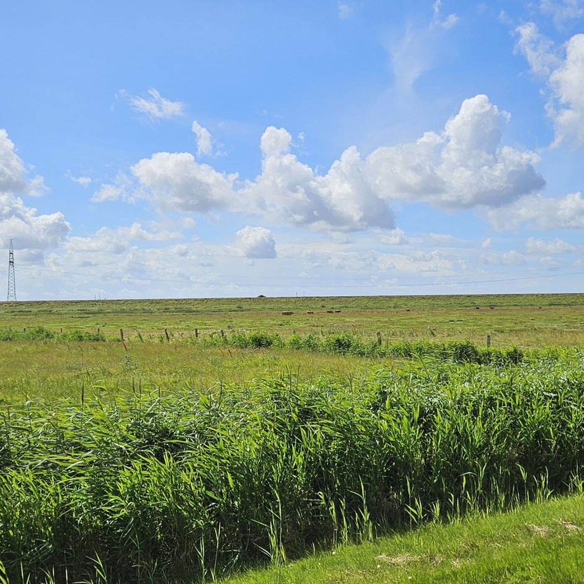
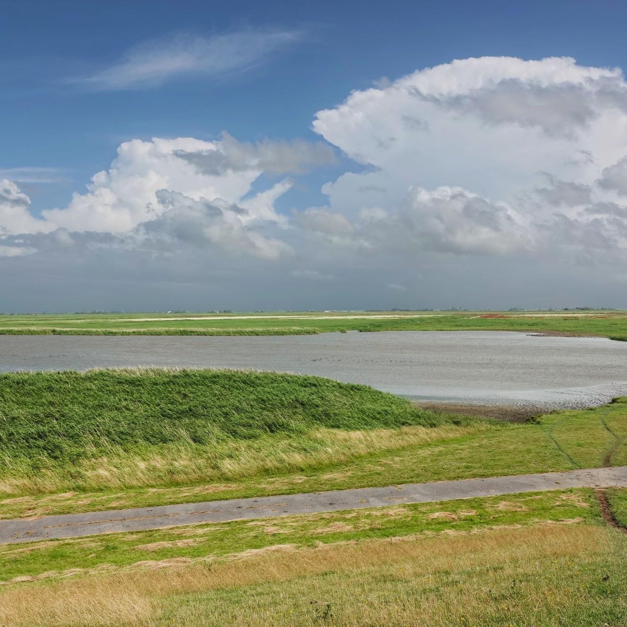
The Rickelsbüller Koog is a nature reserve covering approximately 534 hectares in the North Frisian district – the northwesternmost point of mainland Germany lies there, directly on the border dam near Rodenäs-Markhäuser. Since its embankment in 1981 and official designation as a protected area in 1982, it offers a mosaic of wet meadows, reed beds, and inland waters that developed from the former mudflats and salt marshes. For birdwatchers, the Koog is a true paradise: it is one of the most important resting and breeding areas along the Schleswig-Holstein North Sea coast. Species such as pink-footed goose, barnacle goose, redshank, black-tailed godwit, dunlin, knot, and many more rest and breed here in large numbers. Particularly impressive are the now regular sightings of white-tailed eagles – a testament to the ecological importance of the area. The landscape is crisscrossed by easily accessible dikes and observation points, including an observation hut. Ideal for nature lovers: binoculars are a must to experience the vibrant birdlife in action. The circular trail – for example, part of the "WWF Tour – Boundless Birdlife" – runs approximately 13 km through the area, offering extensive experiences of the open landscape and the opportunity to experience the northernmost point of the mainland. The Koog is accessible via Rodenäs: By bike or car, you can reach a free parking area directly next to the dike via the border road. From there, paths lead into the protected area – the clear landscape, the rich birdlife, and the peacefully flowing border make the destination a special natural location.
2
0
The northernmost point of the German mainland is located in the Rickelsbüller Koog, near Rodenäs in the district of Nordfriesland, Schleswig-Holstein. It marks Germany's outermost land border on the North Sea. Access is via the Norddeich–Sieltoft border crossing, which also serves as a reference point for this extreme point. This is not the absolute northernmost point in Germany—that position is occupied by the Ellenbogen peninsula on Sylt, a peninsula north of List that belongs to the island.
2
0

the landscape with the various flying animals
2
0
Looking over the dike, you can see the Hindenburg Dam to the left and, from time to time, a train passing by. Ahead, the east coast of Sylt with its lighthouse and cliffs. In front, the Wadden Sea is a magnificent sight.
3
0

Nice place on the dike for sunset fans.
0
0
리켈스뷜러 쿠그 주변에서 가장 인기 있는 명소


더 살펴보기
다른 지역의 최고의 하이킹를 살펴보세요.
