산 아마로 최고의 MTB 라이딩 경로
4.8
(7)
273
자전거 타는 사람
37
라이딩
산 아마로에 있는 멋진 산악자전거 라이딩 경로를 따라 어디로 가 볼까요? 산 아마로에 있는 MTB 경로 컬렉션 중에서 가장 멋진 장소를 아래에서 살펴보세요.
마지막 업데이트: 10월 29, 2026
24.1km
01:55
350m
350m
보통 산악 자전거 타기. 좋은 체력 필요. 뛰어난 라이딩 실력이 필요함.
38
자전거 타는 사람
60.1km
05:25
1,380m
1,380m
어려운 산악 자전거 타기. 우수한 체력 필요.

5.0
(2)
11
자전거 타는 사람
44.8km
03:51
900m
900m
어려운 산악 자전거 타기. 우수한 체력 필요.
21
자전거 타는 사람
55.9km
04:44
980m
980m
어려운 산악 자전거 타기. 우수한 체력 필요.
더 다양한 경로와 다른 탐험가들의 추천을 살펴보세요.
이미 komoot 계정이 있나요?
투어 추천은 다른 사람들이 komoot에서 완료한 수천 개의 활동을 바탕으로 구성되어 있습니다.
오늘 무료 계정으로 시작하세요
다음 모험이 기다리고 있어요.
산 아마로 주변 인기 장소

커뮤니티 팁

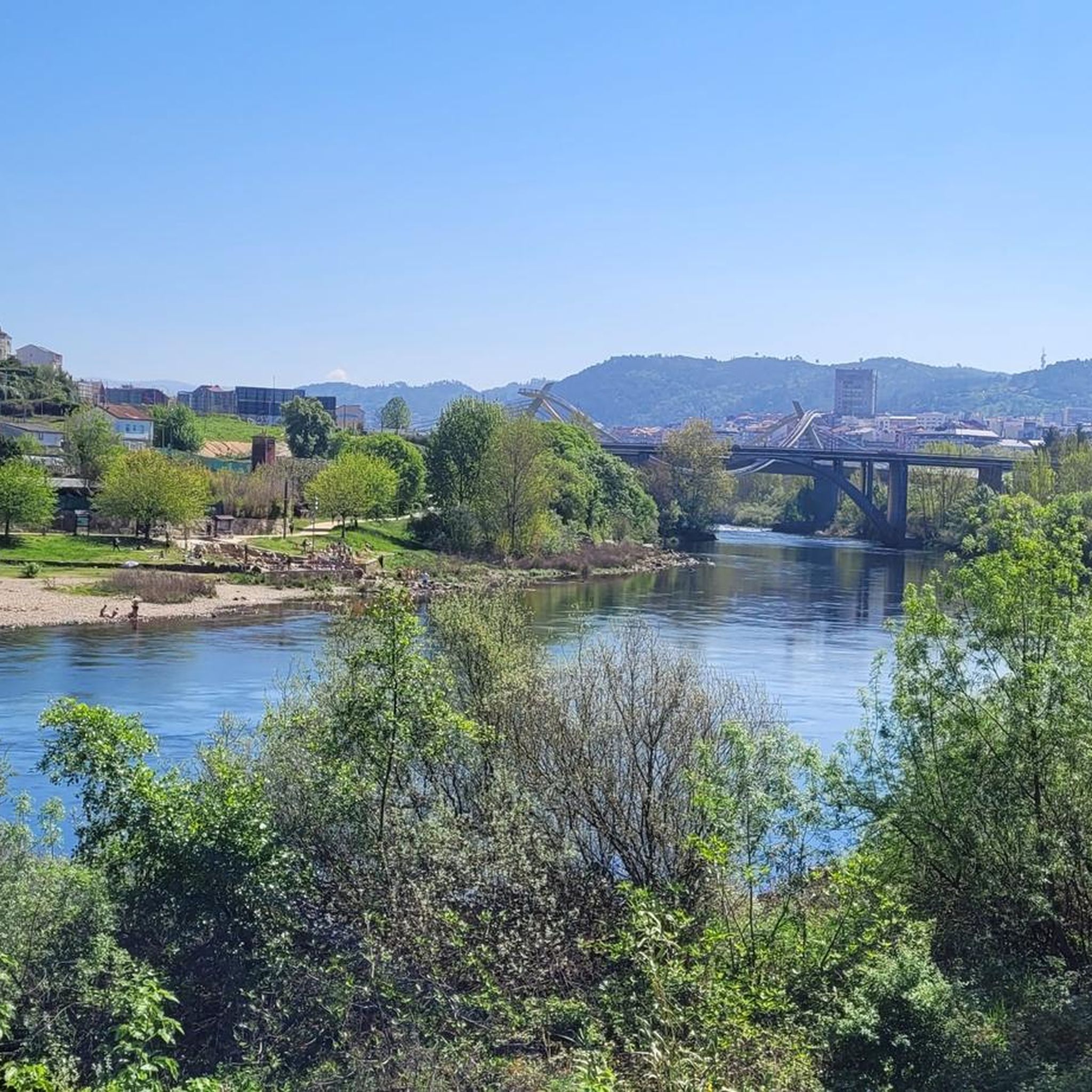
senda rio Avia, 강 전망이 아름답고 걷기 쉬운 길입니다... 강 양쪽으로 난 길을 따라 수 킬로미터를 걸을 수 있습니다.
0
0


It is a beautiful waterfall located on the Barbantiño River, in the province of Ourense, Galicia. With a waterfall of about 20 meters, it is one of the most impressive natural landscapes in the area. Surrounded by a lush and green environment, the waterfall is ideal for those who enjoy hiking and contact with nature.
1
0
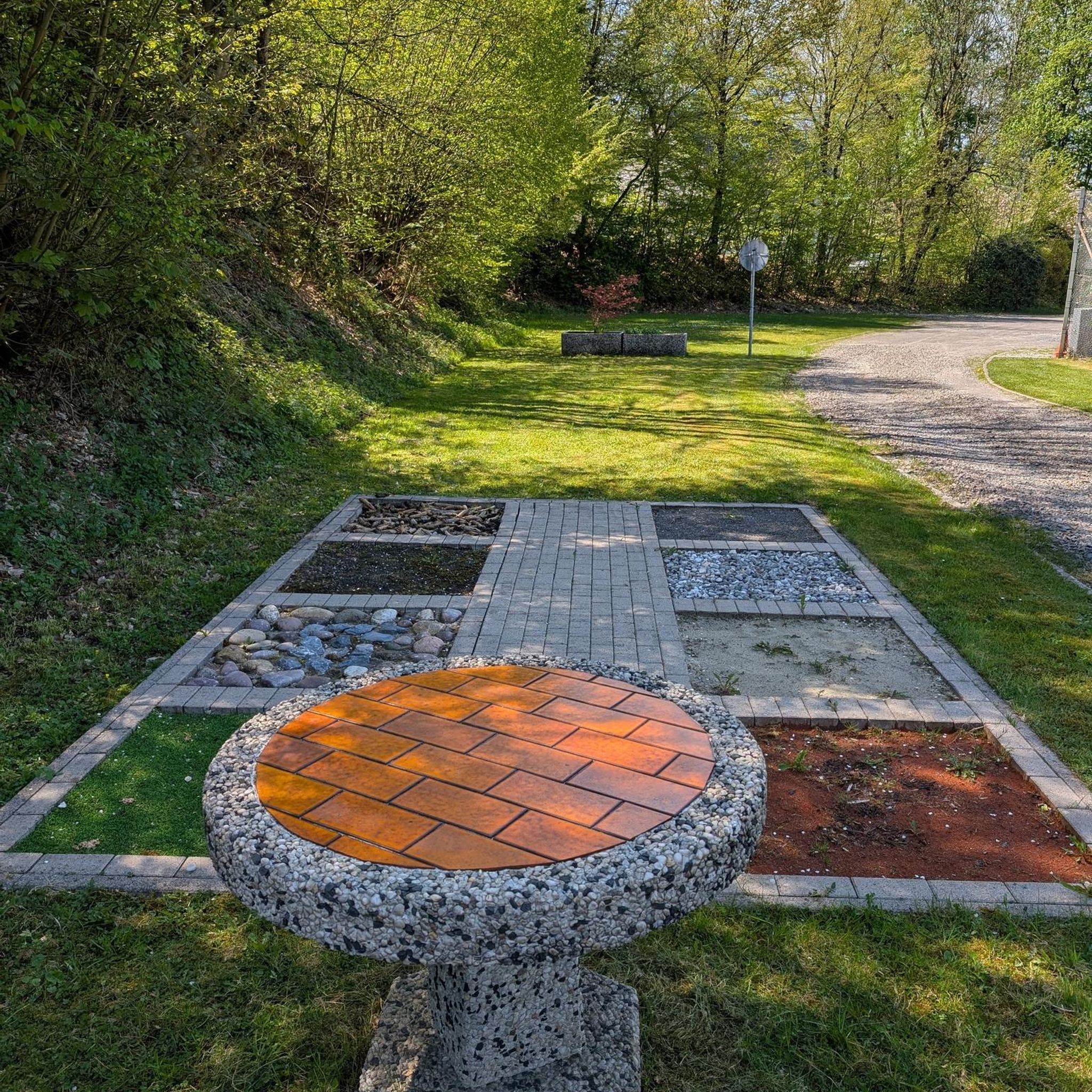
The Barbantes Thermal Park, in Cenlle, Ourense, has a thermal water pool that occupies about 200 square meters. The water temperature is constant, around 28-29ºC, ideal for a relaxing bath. Its water is rich in minerals and known for its therapeutic properties. The park has green areas and rest areas, making it a popular place for thermal tourism. It stands out for being on the Ribeiro Wine Route, an area famous for its vineyards and wineries, combining wellness and wine tourism.
1
0

The Fervenza do Barbantiño jump overcomes a difference in height of about 15 meters above the rocky ground and in the rainy season it becomes a true spectacle. However, its course is subject to the rules of a mini hydroelectric plant from the late 1990s that reduces its flow during certain times of the year. To get to this beautiful fervenza, just follow the Barbantiño Natural Trail downstream. From the OU-524 bridge over the river you can take the route, since this is the shortest way to get there, with a distance of only 1.7 km. In any case, it is advisable to start the route from the thermal springs in O Bañiño, in A Forxa, and travel the more than 7 km of beautiful and incomparable path, until you reach the San Fiz bridge.
2
0

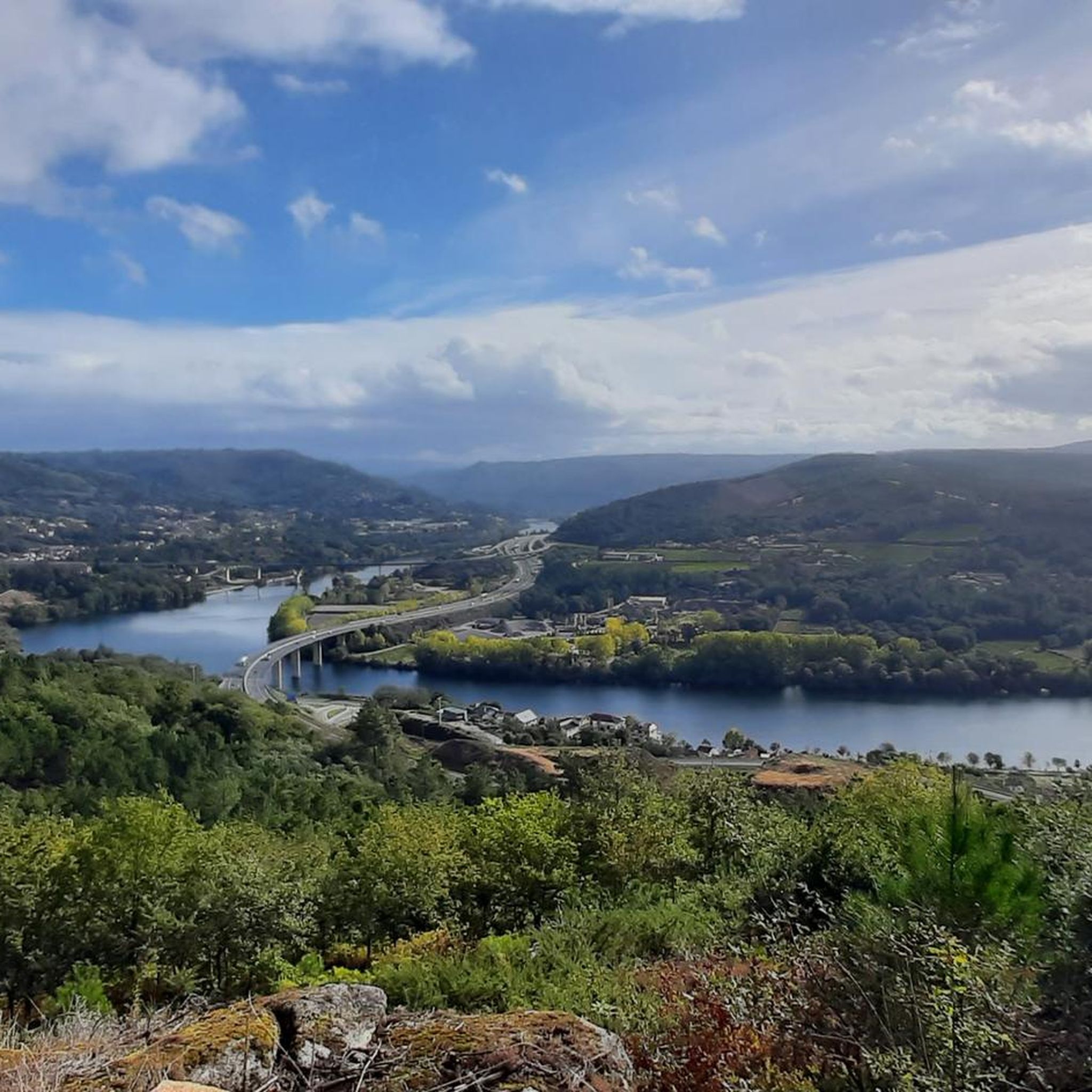
View of the Old town emerging from the Avia Valley nestled on the hillside. Be careful when stopping on the narrow bridge to admire the view
1
0

산 아마로 주변에서 가장 인기 있는 경로
산 아마로 주변에서 가장 인기 있는 명소


더 살펴보기
다른 지역의 최고의 MTB 트레일를 살펴보세요.
