벤트로사 최고의 러닝 경로
166
달리기 하는 사람
16
러닝
벤트로사에서 하이킹하며 시에라 리오하 알타 구석 부분까지 살펴볼까요? 벤트로사에 있는 모든 하이킹 및 워킹 경로 컬렉션 중 가장 멋진 하이킹 경로를 엄선하여 소개해드릴게요. 다른 하이커가 공유한 실제 팁과 사진을 살펴보고 후기를 읽으며 마음에 드는 벤트로사 워킹 경로를 찾아보세요.
마지막 업데이트: 8월 22, 2026
17
달리기 하는 사람
17.6km
02:50
1,060m
1,060m
어려운 조깅. 우수한 체력 필요. 대부분 갈 수 있는 길. 일부 구간에서 미끄러지지 않게 조심해야 함.
9
달리기 하는 사람
10.8km
01:48
680m
690m
어려운 조깅. 우수한 체력 필요. 대부분 포장된 지면. 실력과 관계없이 누구나 갈 수 있음.

무료 회원 가입
7
달리기 하는 사람
32.0km
04:39
1,430m
1,440m
어려운 조깅. 우수한 체력 필요. 대부분 포장된 지면. 실력과 관계없이 누구나 갈 수 있음.
8
달리기 하는 사람
31.5km
04:17
1,230m
1,230m
어려운 조깅. 우수한 체력 필요. 대부분 포장된 지면. 실력과 관계없이 누구나 갈 수 있음.
6
달리기 하는 사람
11.0km
01:31
410m
410m
어려운 조깅. 우수한 체력 필요. 대부분 포장된 지면. 실력과 관계없이 누구나 갈 수 있음.
더 다양한 경로와 다른 탐험가들의 추천을 살펴보세요.
무료 회원 가입
이미 komoot 계정이 있나요?
투어 추천은 다른 사람들이 komoot에서 완료한 수천 개의 활동을 바탕으로 구성되어 있습니다.
오늘 무료 계정으로 시작하세요
다음 모험이 기다리고 있어요.
로그인 또는 가입하기
벤트로사 주변 인기 장소
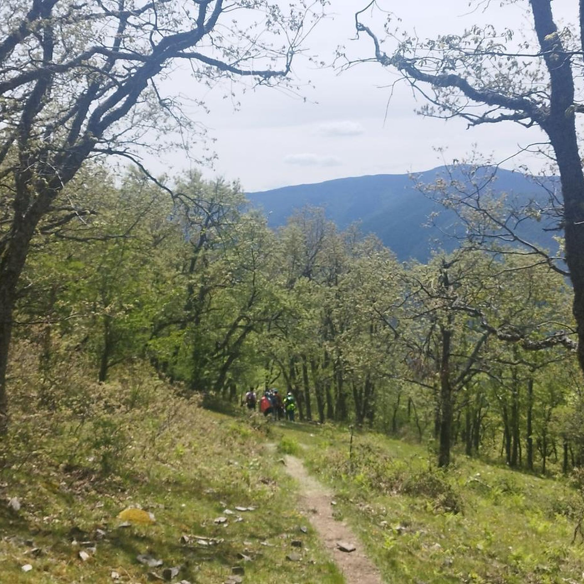
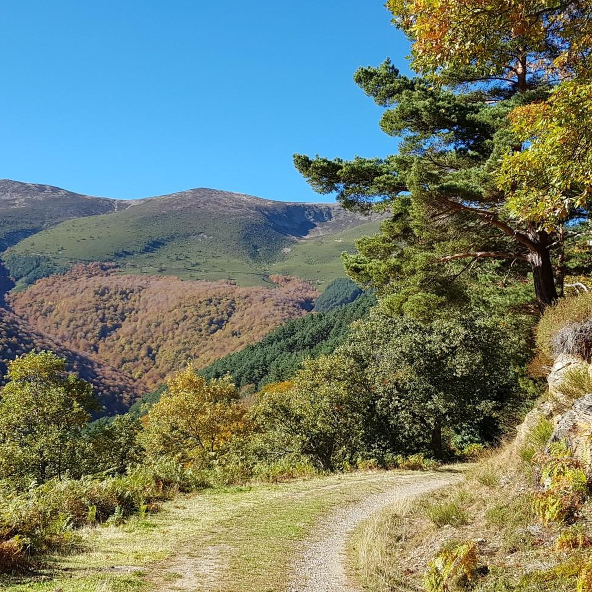
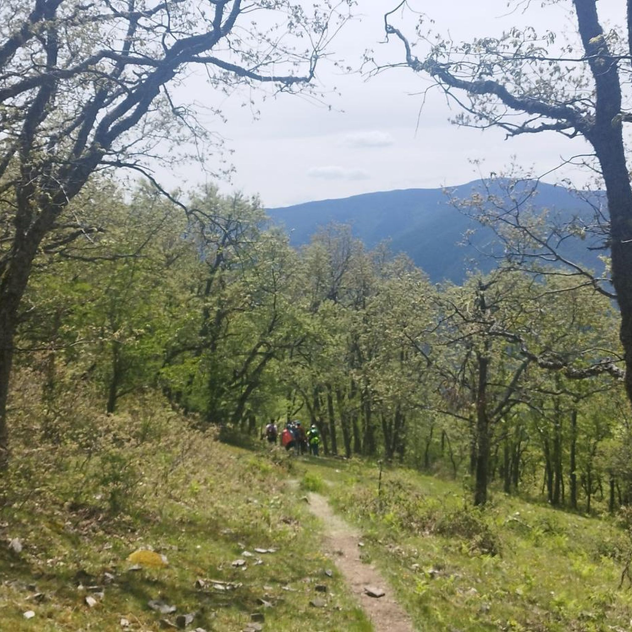
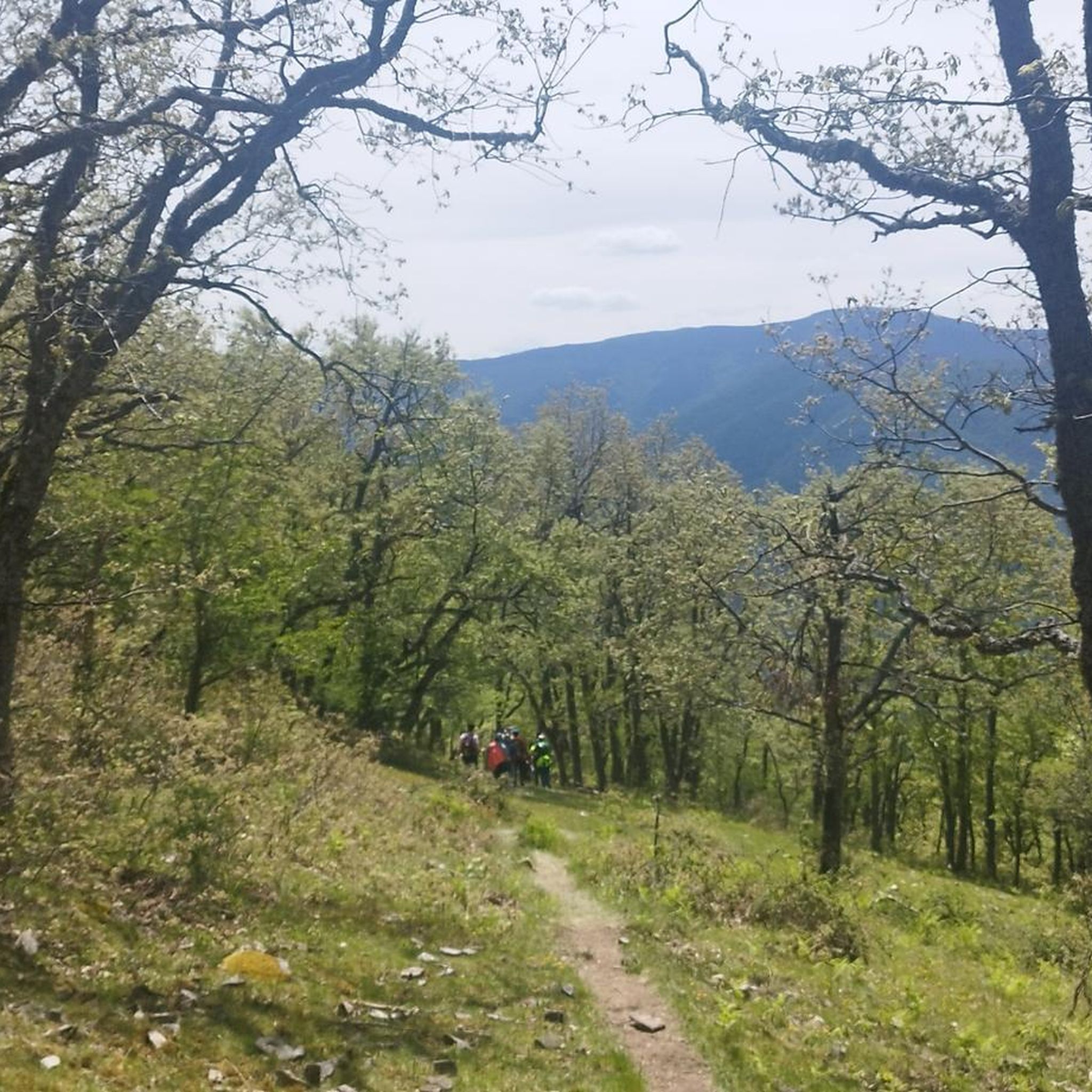
커뮤니티 팁

카메로스 산맥은 서부 소리아나 카냐다 레알을 가로지르는 동안 자전거를 타고 즐기기에 더할 나위 없이 좋은 한적한 자연의 천국입니다.
0
0


One of the most beautiful mountain villages in the Cameros region. Filled with stone houses, it is located on the slopes of a natural canyon, the Encinedo massif. This ravine was formed through a karstic process that gave rise to several chasms and caves. Two of them can be visited, the one in La Paz and the one in La Villa.
1
0
The town of Brieva de Cameros is located at the crossroads of the Brieva and Berrinche rivers, tightly squeezed between the Castejón mountain range and San Cristóbal mount.
0
0
Ventrosa is a village that in 2019 had only 55 inhabitants. Perhaps its size is what helps to create such an idyllic environment. Between its magnificent landscapes, rocks, forests and high meadows are interspersed.
0
0

The path passes through several hills with more hunting posts, connects with the forest track that goes up the La Rioja slope from Hoyos de Iregua and Villoslada de Cameros and up to the plateau where the Buey geodesic vertex (2,034 m) is located, another fantastic viewpoint of valleys, forests and mountain ranges. In case of bad weather or injury, you can continue straight ahead and go directly down to the port of Santa Inés.
0
1
The first part of the climb is easy to follow, there are meadows and clearings between the trees, then cliffs and stony areas appear and it is better to walk around the mountain to the north and reach the eastern slope of the Castillo de Vinuesa. The summit is an elongated north/south massif and the main summit is some rocky turrets on the south side, you have to follow the paths that skirt the east face and at the end the cliff appears where the summit sculpture is. The views are magnificent and the top has a particular sensation of vertigo surrounded by small precipices. The Sierra de la Demanda, the Picos de Urbión, the Sierra Cebollera, the Cameros and the rest of the massifs of the central sector of the Iberian System stand out on all sides. The trail descends from the summit in the same place, skirts the mountain again and enters the main path that runs along the mountain range, between the port of Santa Inés and the summit of Pico Cebollera.
0
1
A few minutes before reaching the hidden pit where the Green Lagoon is hidden, red marks appear painted on the tree trunks and facilitate access. The stone milestones go down the slope of the hillside to a small flooded canyon and shortly after the beautiful fluvial niche of the lagoon appears surrounded by pine trees precious in size and shape. The place is a natural wonder on the mountainside, with hardly any environmental alterations except for the tracks of the mountaineers who reached the shore. The trail leaves the lagoon from the same place, goes up about fifty meters up the mountainside, leaves the path to the left and continues straight through the bottom of the trough. The ascent is hard due to the inclination of the slope, there is not a good layout of the path and although there are stone milestones it is difficult to run and orient yourself at the same time.
0
1
벤트로사 주변에서 가장 인기 있는 경로
벤트로사 주변에서 가장 인기 있는 명소


더 살펴보기
다른 지역의 최고의 러닝 트레일 & 경로를 살펴보세요.
