무어귀르텔 최고의 러닝 경로
4.5
(2568)
57,032
달리기 하는 사람
1,175
러닝
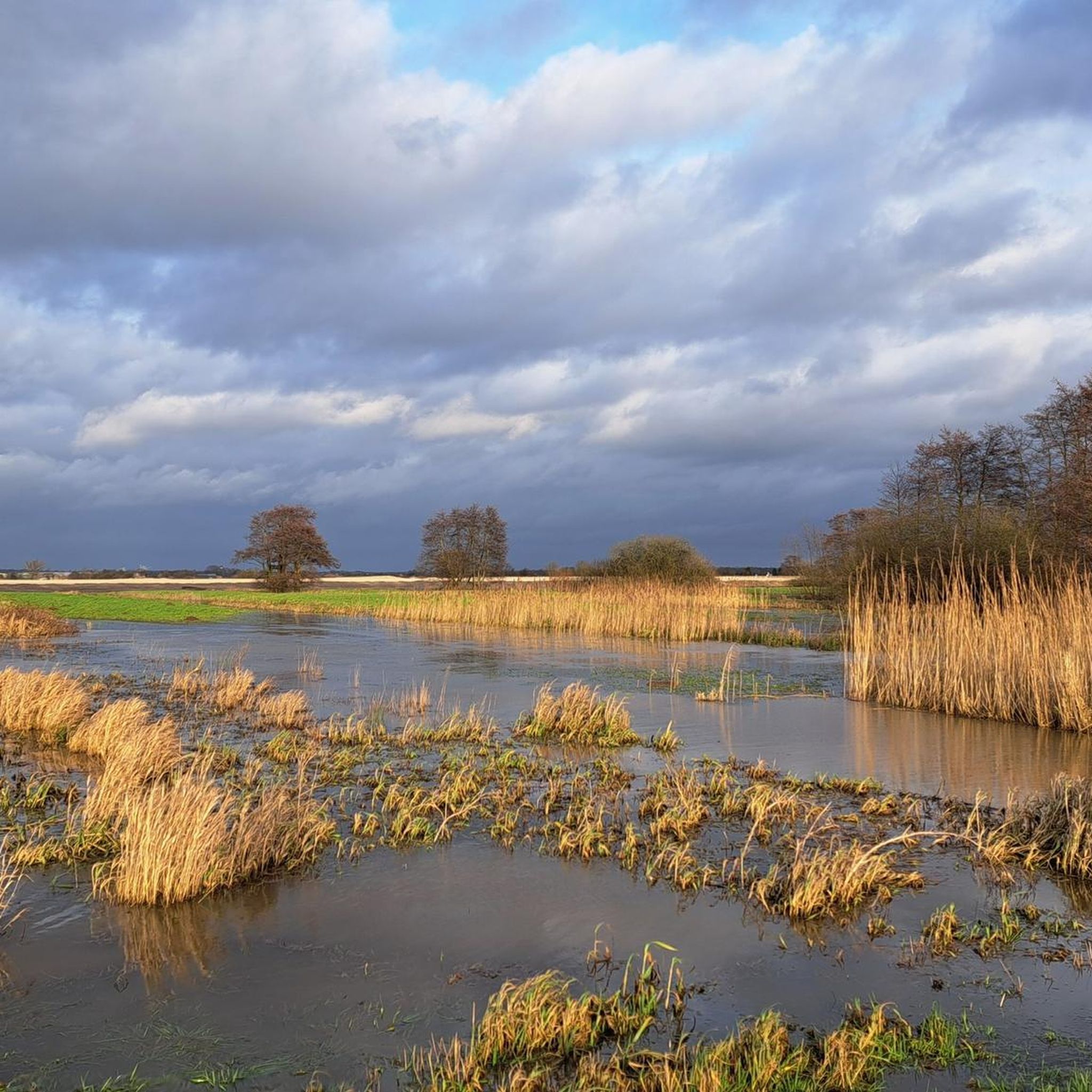
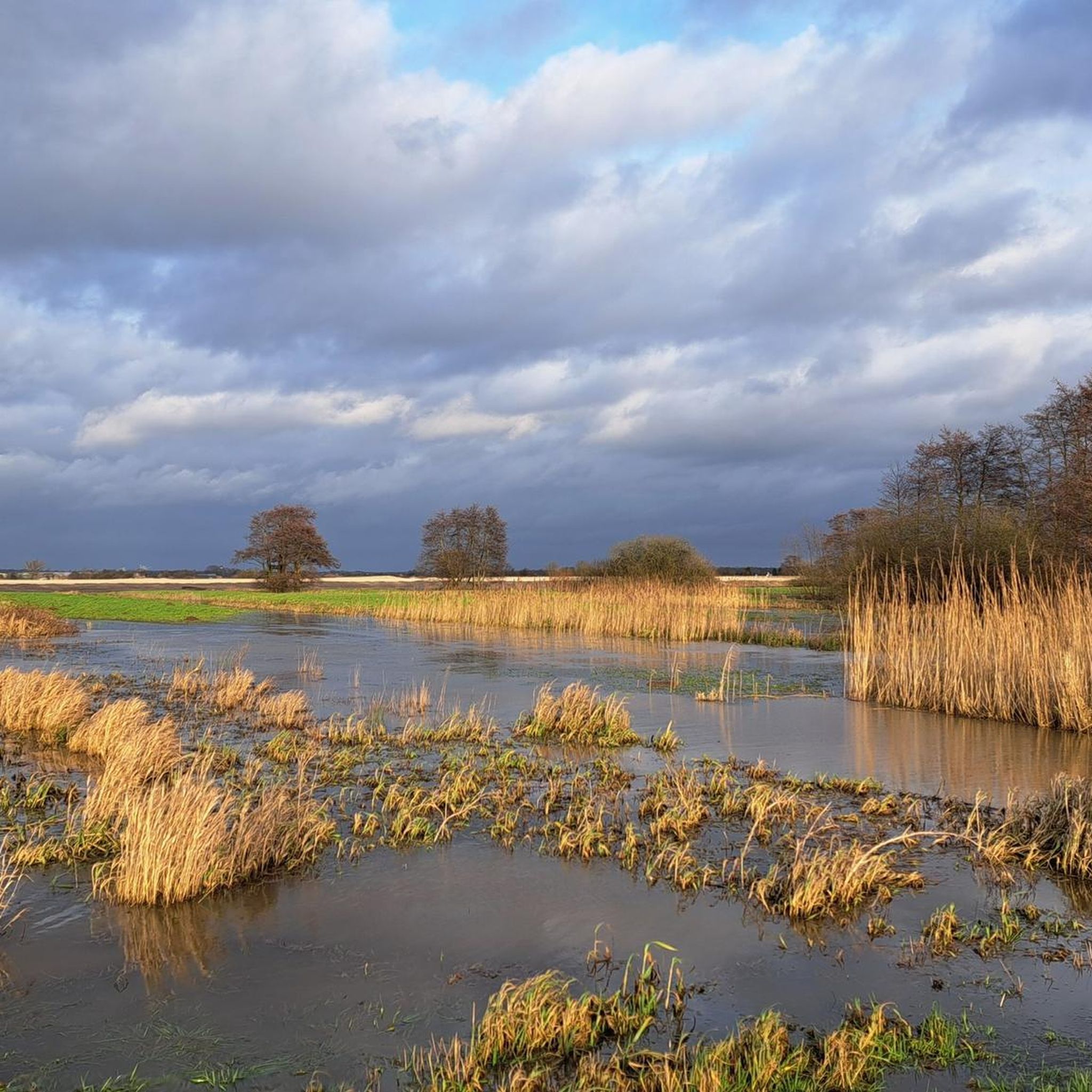
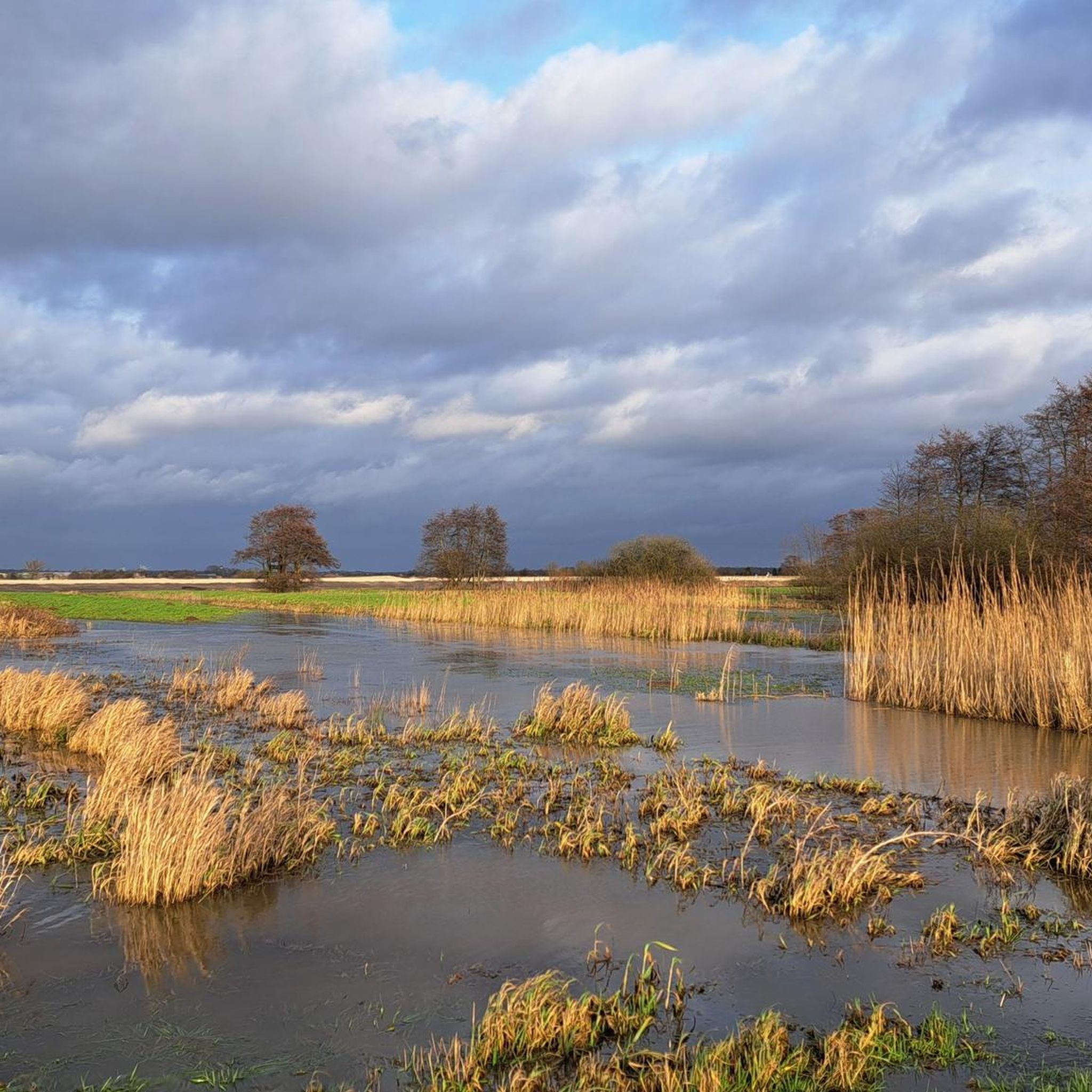
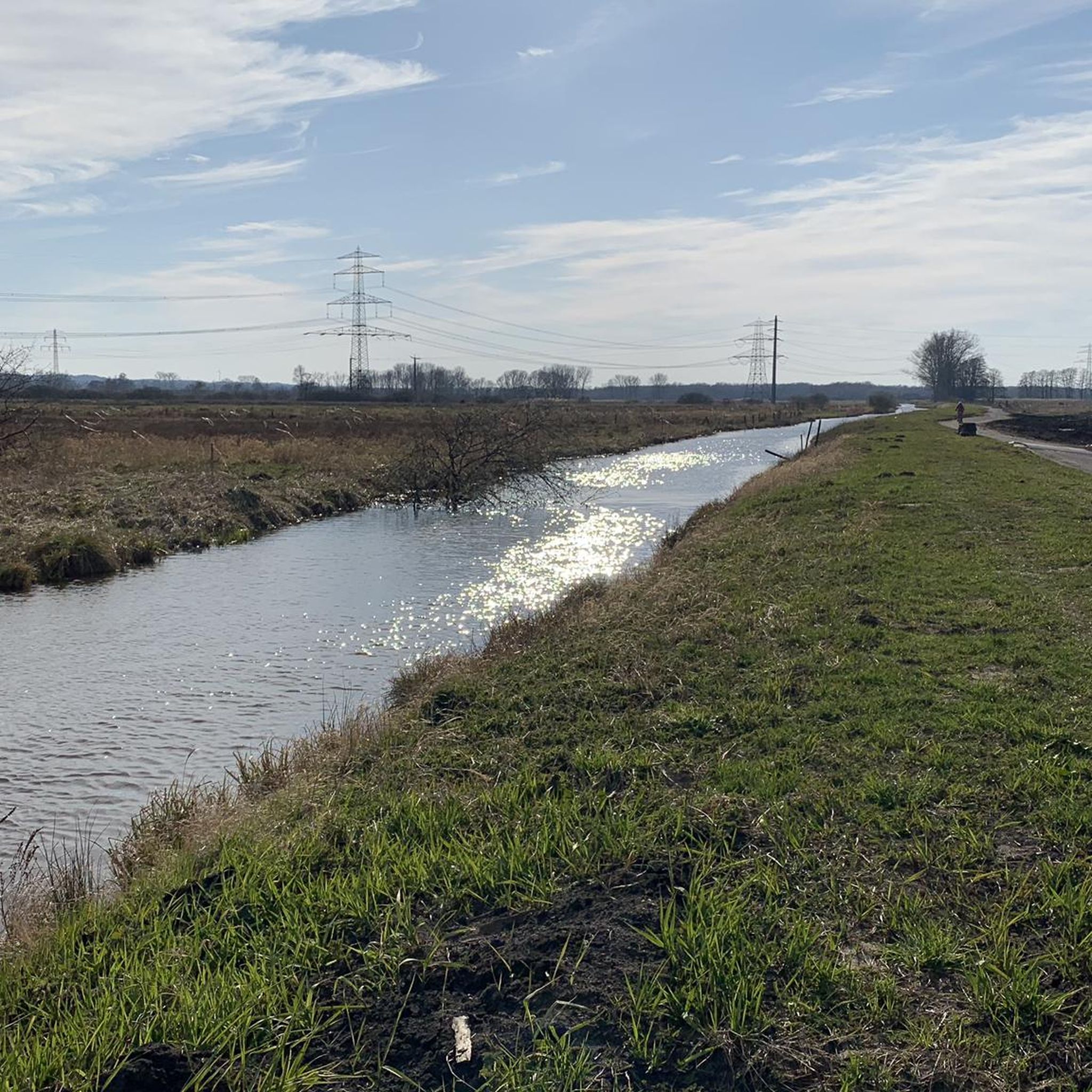
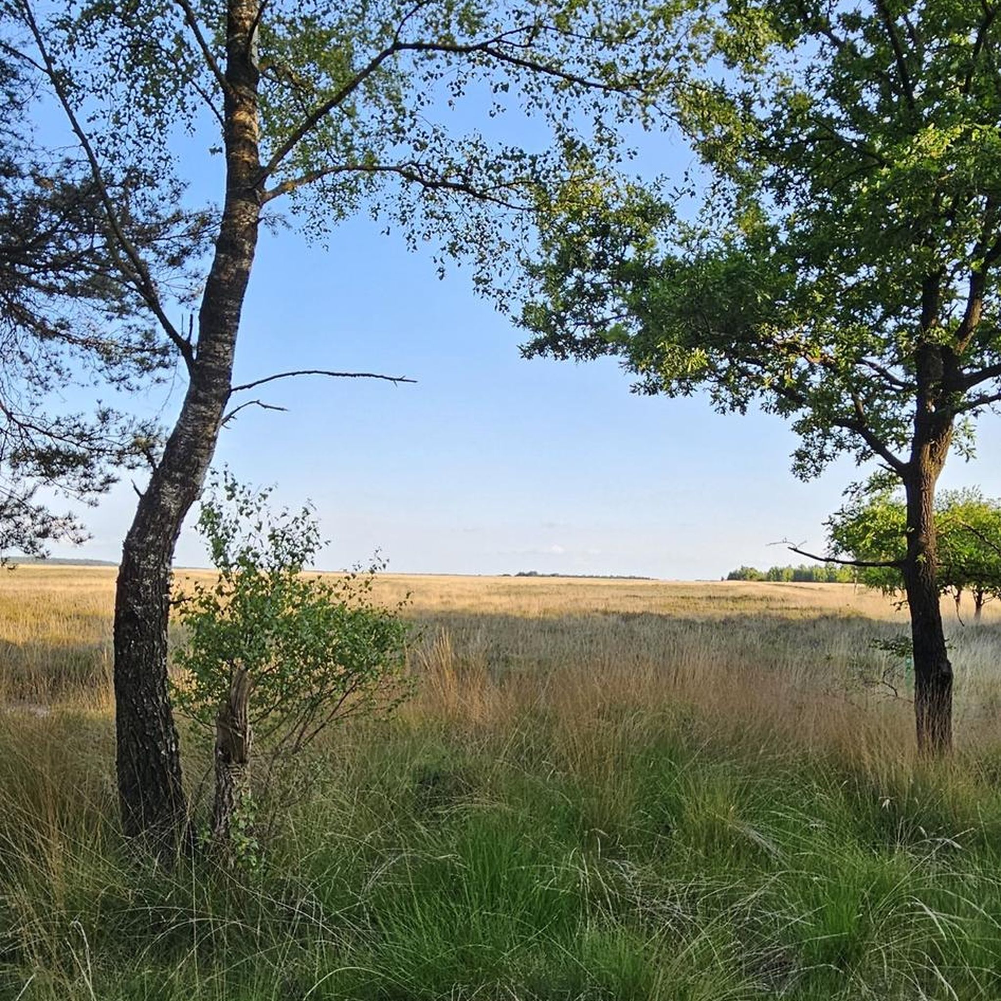
묀구르텔 주변 조깅 코스는 다양한 서식지를 특징으로 하는 자연 보호 구역의 대체로 평평하고 습지대인 지형을 통과합니다. 이 지역은 습한 초원, 무어랜드의 흔적, 복잡한 수로와 들판 네트워크를 특징으로 하며, 러너들에게 다양한 풍경을 제공합니다. 길은 습한 녹색 초원과 자작나무 숲을 지나며, 온전한 문화 경관 속을 구불구불 이어집니다. 이 환경은 블랑케네제와 에어버스 시설의 먼 풍경을 포함한 광활한 전망을 제공합니다.
묀구르텔 주변 최고의 조깅 코스
- 가장 인기 있는 조깅 코스는 철로 옆 비포장 도로 – 닌코퍼 무어베크 루프(피쉬벡 출발)로, 12.1km 길이의 트레일이며 완료하는…
마지막 업데이트: 9월 23, 2026
4.0
(1)
19
달리기 하는 사람
12.6km
01:21
20m
20m
보통 조깅. 좋은 체력 필요. 대부분 포장된 지면. 실력과 관계없이 누구나 갈 수 있음.
22
달리기 하는 사람
19.2km
01:59
30m
30m
어려운 조깅. 우수한 체력 필요. 대부분 포장된 지면. 실력과 관계없이 누구나 갈 수 있음.

27
달리기 하는 사람
14.7km
01:33
20m
20m
보통 조깅. 좋은 체력 필요. 대부분 포장된 지면. 실력과 관계없이 누구나 갈 수 있음.
4.7
(6)
98
달리기 하는 사람
8.22km
00:51
10m
10m
보통 조깅. 좋은 체력 필요. 대부분 포장된 지면. 실력과 관계없이 누구나 갈 수 있음.
5.0
(3)
63
달리기 하는 사람
10.1km
01:12
170m
170m
보통 조깅. 좋은 체력 필요. 대부분 포장된 지면. 실력과 관계없이 누구나 갈 수 있음.
더 다양한 경로와 다른 탐험가들의 추천을 살펴보세요.
이미 komoot 계정이 있나요?
투어 추천은 다른 사람들이 komoot에서 완료한 수천 개의 활동을 바탕으로 구성되어 있습니다.
오늘 무료 계정으로 시작하세요
다음 모험이 기다리고 있어요.
커뮤니티 팁

아름다운 하이킹 및 자전거 코스가 이곳 Buxtehuder Moor를 통과합니다. 주변 자연을 즐길 수 있는 휴식 벤치가 마련되어 있습니다 💚. Buxtehude의 습지는 Harburg 및 Stade 지역의 Harburger Elbmarschen(자연 지역 단위 670)에 있는 약 1317헥타르 규모의 자연 및 EU 조류 보호 구역입니다. 방문은 추천할 만하며 동시에 흥미롭습니다 👍🏼.
1
0
멋진 자전거 및 하이킹 코스로, 아름다운 자연 속 벅스테후데 습지를 가로지릅니다. 강력 추천합니다.
1
0

This remote spot is truly something special, and you should definitely take a look around, perhaps walking up towards the Elbe River.
0
0

Beautiful view over the hilly heathland, especially during the flowering season – a dream!
2
2
The Heidschnuckenweg trail leads along narrow paths through the Fischbek Heath... Especially during the flowering season, the views across the heathland are a true feast for the eyes.
3
1
The Fischbeck Heath is highly recommended and interesting 👍🏼. There are fantastic hiking trails with park benches that invite you to take a break and enjoy the surrounding nature. There are also designated routes for cyclists and mountain bikers. The Fischbeck Heath surprises with its beauty and diversity. A visit is absolutely recommended 👍🏼.
7
1

Heath as far as the horizon! From the northern end of the Fischbeker Heide you can enjoy fantastic views of the landscape blooming purple in autumn. Both the Heidschnucken Trail and the Wulmstorfer Heide hiking trail lead along here.
6
0

The hiking trail "Hamburg's 2nd Green Ring" also runs along here. All information about the Green Ring can be found under the following link: www.hamburg.de/wandern-im-gruenen/4473724/wandern-im-gruenen-hintergrund (as of January 4, 2025).
1
0
무어귀르텔 주변에서 가장 인기 있는 명소


더 살펴보기
다른 지역의 최고의 러닝 트레일 & 경로를 살펴보세요.
