레 드 세르다냐 최고의 워킹 & 하이킹 경로
4.6
(337)
3,292
등산객
78
하이킹
정확한 경로를 찾는 것이 때로는 어렵지만 레 드 세르다냐에서 하이킹을 하면 다양한 경치를 마음껏 감상할 수 있답니다. 레 드 세르다냐에서 가장 멋진 하이킹과 워킹 중에서 마음에 드는 활동을 시작해보세요.
마지막 업데이트: 9월 9, 2026
5.0
(5)
32
등산객
10.4km
03:57
680m
680m
보통 하이킹. 좋은 체력 필요. 대부분 갈 수 있는 길. 미끄러지지 않게 조심해야 함.
4.9
(12)
148
등산객
12.9km
04:01
490m
490m
보통 하이킹. 좋은 체력 필요. 대부분 갈 수 있는 길. 미끄러지지 않게 조심해야 함.

4.3
(14)
122
등산객
보통 하이킹. 모든 체력 수준에 적합. 대부분 갈 수 있는 길. 미끄러지지 않게 조심해야 함.
4.3
(6)
94
등산객
어려운 하이킹. 우수한 체력 필요. 대부분 갈 수 있는 길. 미끄러지지 않게 조심해야 함.
5.0
(2)
55
등산객
17.1km
06:55
1,050m
1,050m
어려운 하이킹. 우수한 체력 필요. 대부분 갈 수 있는 길. 미끄러지지 않게 조심해야 함.
더 다양한 경로와 다른 탐험가들의 추천을 살펴보세요.
이미 komoot 계정이 있나요?
투어 추천은 다른 사람들이 komoot에서 완료한 수천 개의 활동을 바탕으로 구성되어 있습니다.



커뮤니티 팁

¿Cómo es la pista forestal? Ancho y firme: Es una pista no asfaltada de tierra y piedra. La vía transcurre principalmente entre pino negro y bosque, por lo que va resguardada durante la mayor parte del recorrido. Presencia de precipicios: No es una pista colgada sobre acantilados vertiginosos ni de caída en picado constante. No obstante, al ser una carretera de alta montaña, en algunos tramos sí hay laderas expuestas hacia el valle o curvas sin barreras de protección laterales como las que encuentras en una carretera convencional. Cruce de vehículos: Hay tramos donde la pista es algo estrecha y, si te cruzas con otro coche en sentido contrario, hay que maniobrar despacio para apartarse hacia uno de los laterales o apartaderos.
0
0

Les Pollineres에 자가용으로 접근하는 것은 Lles와 Aransa 경로 모두 연중 제한됩니다. 여름 (8월~9월 초): Fornell과 Cap del Rec 쉼터에서 셔틀버스가 운행됩니다. 연중 나머지 기간: 차량 접근은 허가된 주민으로 제한됩니다. 스키 리조트(Lles 또는 Aransa)에 차를 두고 걸어야 하며, 이는 경로의 시간과 고도 변화를 증가시킵니다. Martinet에서 산악자전거 또는 그래블 자전거로 올라가는 것이 가장 좋습니다.
1
0
라 폰트 데 레스 폴리네레스는 료스 데 세르다냐(레이다)에 위치한 해발 2,100미터의 휴양지이자 산악 대피소입니다. 이곳은 약 4km(왕복)와 211m의 고도차를 가진 인기 있는 가족 산책 코스인 에스타니스 데 라 페라까지 가는 주요 출발점이자 가장 접근하기 쉬운 곳입니다.
0
0
Martinet에서 Cap del Rec까지의 오르막은 진정한 도전입니다. 단 16.5km의 코스에 거의 1,000미터의 상승 고도가 있습니다!
0
0

One of the most magical places in the eastern Pyrenees, surrounded by alpine meadows, fir trees, and the two lakes that give it its name. At almost 2,350 meters above sea level, the refuge offers food, accommodation, and postcard-perfect views. It's a gateway to the Perafita pass and the cross-border routes with Andorra. By mountain bike, the climb from Cap del Rec is demanding but spectacular: a wide track, rocky sections, and sustained gradients. The best approach is to take it easy, maintain a steady cadence, and savor the final reward: the reflection of the mountains in the lakes, with the sound of the wind and cows as your only companions.
0
0
A free mountain refuge nestled among black pine forests and high meadows, with sweeping views of the Segre Valley. It's a peaceful spot, ideal for sheltering from the wind or taking a break on routes that connect to Cap del Rec or Tossa Plana. The surroundings retain the pure silence of the upper Cerdanya region. By mountain bike, the final approach is via a stony track with a slight incline; it's advisable to lower the saddle and maintain control on the subsequent descent, as ruts and loose stones can be treacherous if you're riding too fast.
0
0
Located at an altitude of 1,960 meters, this refuge is a key point for cyclists and hikers heading towards the Tossa Plana de Lles or the Nordic ski slopes. The refuge combines a mountain atmosphere with comfortable amenities: a bar, a dining room, and a terrace with open views of the Cadí mountain range. It's a good place to stop, have a hot meal, or adjust your bike before continuing the climb. For mountain biking, the track from Lles has an uneven surface and rocky sections; tires with good grip are recommended, as is maintaining a constant cadence, especially on the final bends where the gradient is noticeable.
0
0

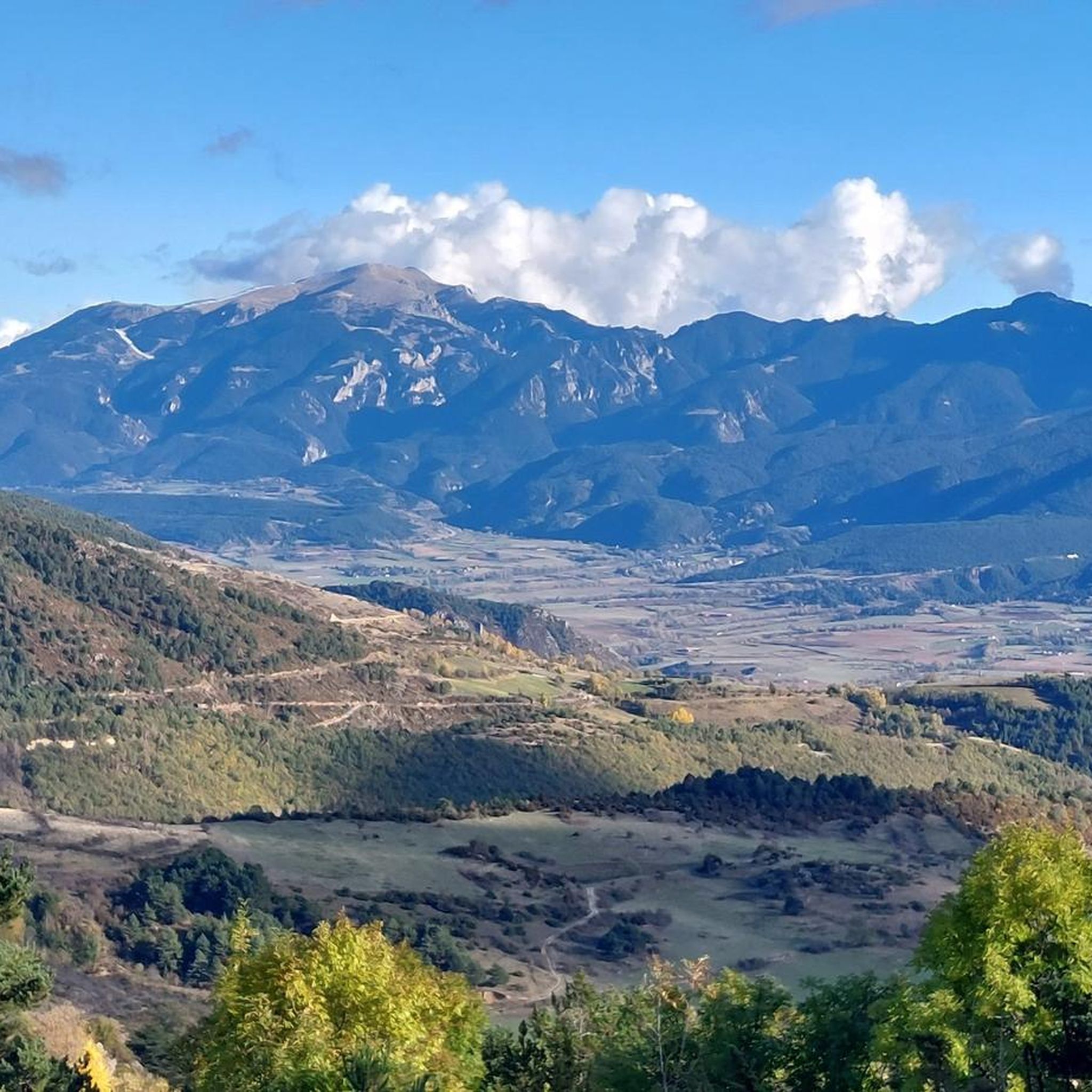
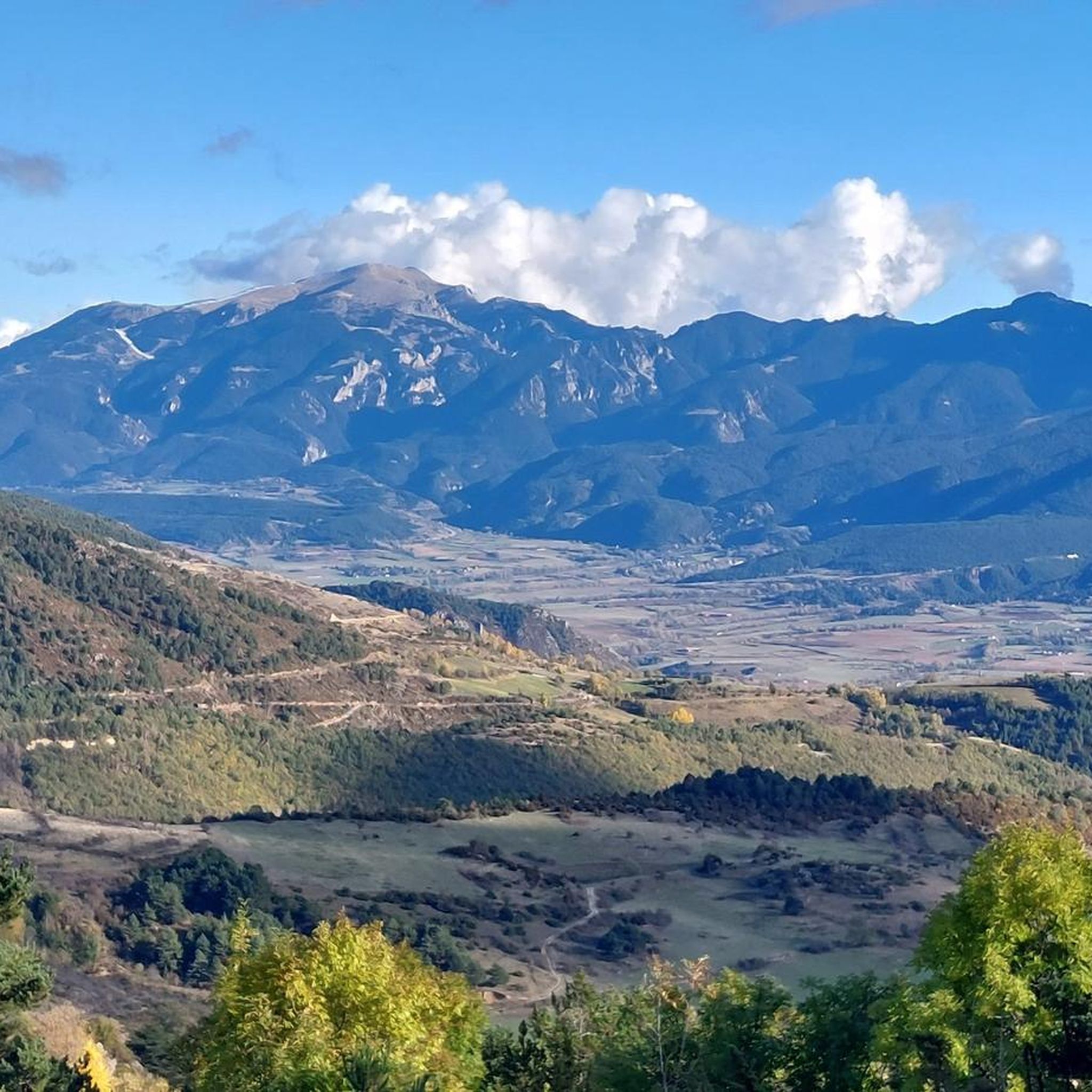
The views of the northern slope of the Cadí mountain range, although distant, are impressive.
0
0
레 드 세르다냐 주변에서 가장 인기 있는 명소


더 살펴보기
다른 지역의 최고의 하이킹를 살펴보세요.
