란노이 최고의 라이딩 경로
4.4
(933)
21,928
자전거 타는 사람
478
라이딩
란노이의 로드 사이클링 경로를 찾으시나요? 그렇다면 란노이 로드 라이딩 컬렉션 중에서 가장 멋진 라이딩 장소를 아래에서 살펴보세요.
마지막 업데이트: 8월 19, 2026
4.0
(5)
45
자전거 타는 사람
32.7km
01:27
70m
70m
초급용 로드 라이딩. 모든 체력 수준에 적합. 지면 대부분이 잘 포장되어 있고 라이딩하기 쉬움.
5.0
(5)
35
자전거 타는 사람
19.5km
00:50
30m
30m
보통 도로 자전거 타기. 모든 체력 수준에 적합. 투어 중 라이딩하기 어려운 비포장 구간이 있을 수 있음.

무료 회원 가입
4.3
(3)
16
자전거 타는 사람
37.8km
01:49
180m
180m
보통 도로 자전거 타기. 모든 체력 수준에 적합. 투어 중 라이딩하기 어려운 비포장 구간이 있을 수 있음.
5.0
(1)
21
자전거 타는 사람
17.3km
00:43
60m
60m
보통 도로 자전거 타기. 모든 체력 수준에 적합. 투어 중 라이딩하기 어려운 비포장 구간이 있을 수 있음.
4.8
(4)
14
자전거 타는 사람
31.5km
01:20
90m
90m
초급용 로드 라이딩. 모든 체력 수준에 적합. 지면 대부분이 잘 포장되어 있고 라이딩하기 쉬움.
더 다양한 경로와 다른 탐험가들의 추천을 살펴보세요.
무료 회원 가입
이미 komoot 계정이 있나요?
투어 추천은 다른 사람들이 komoot에서 완료한 수천 개의 활동을 바탕으로 구성되어 있습니다.
오늘 무료 계정으로 시작하세요
다음 모험이 기다리고 있어요.
로그인 또는 가입하기

커뮤니티 팁


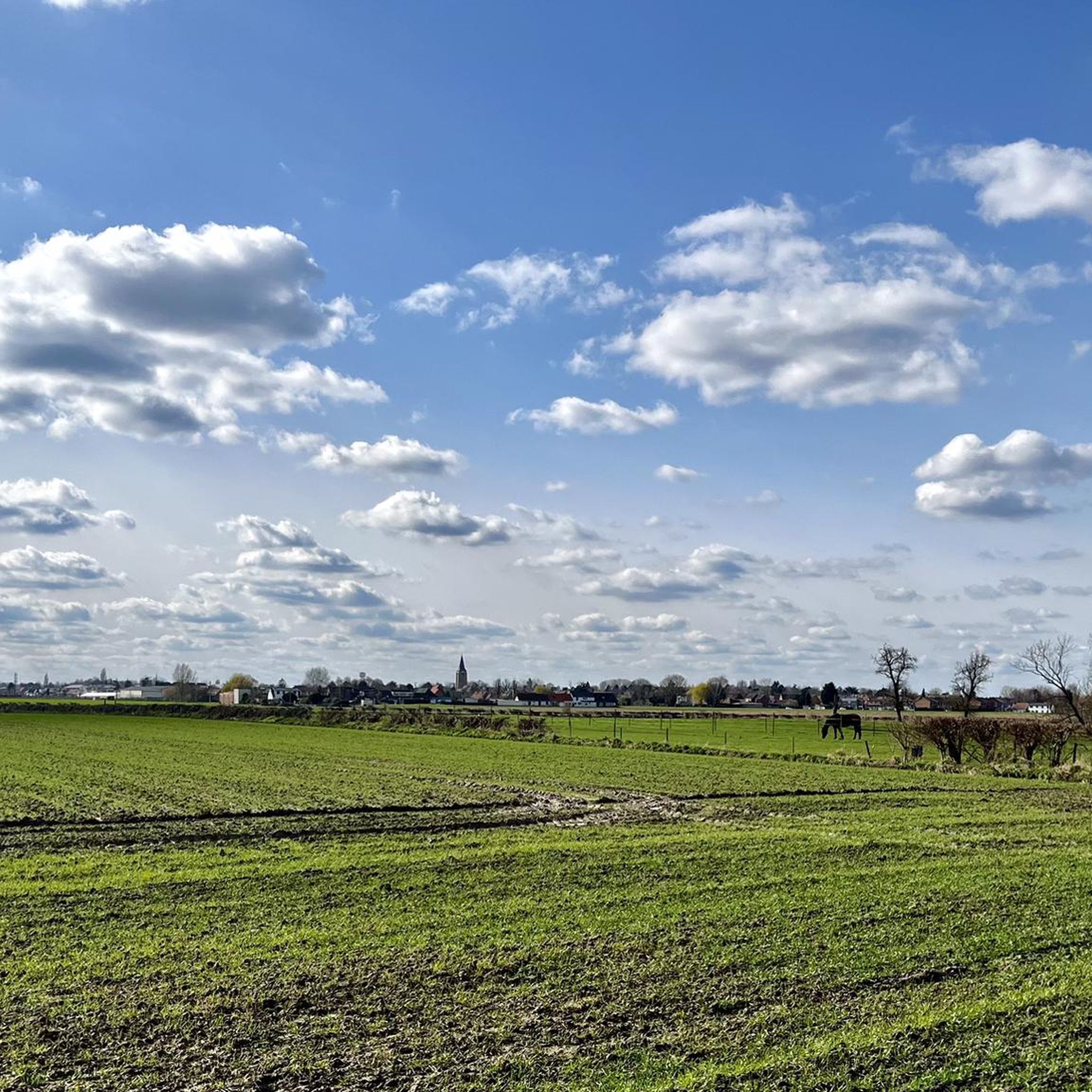
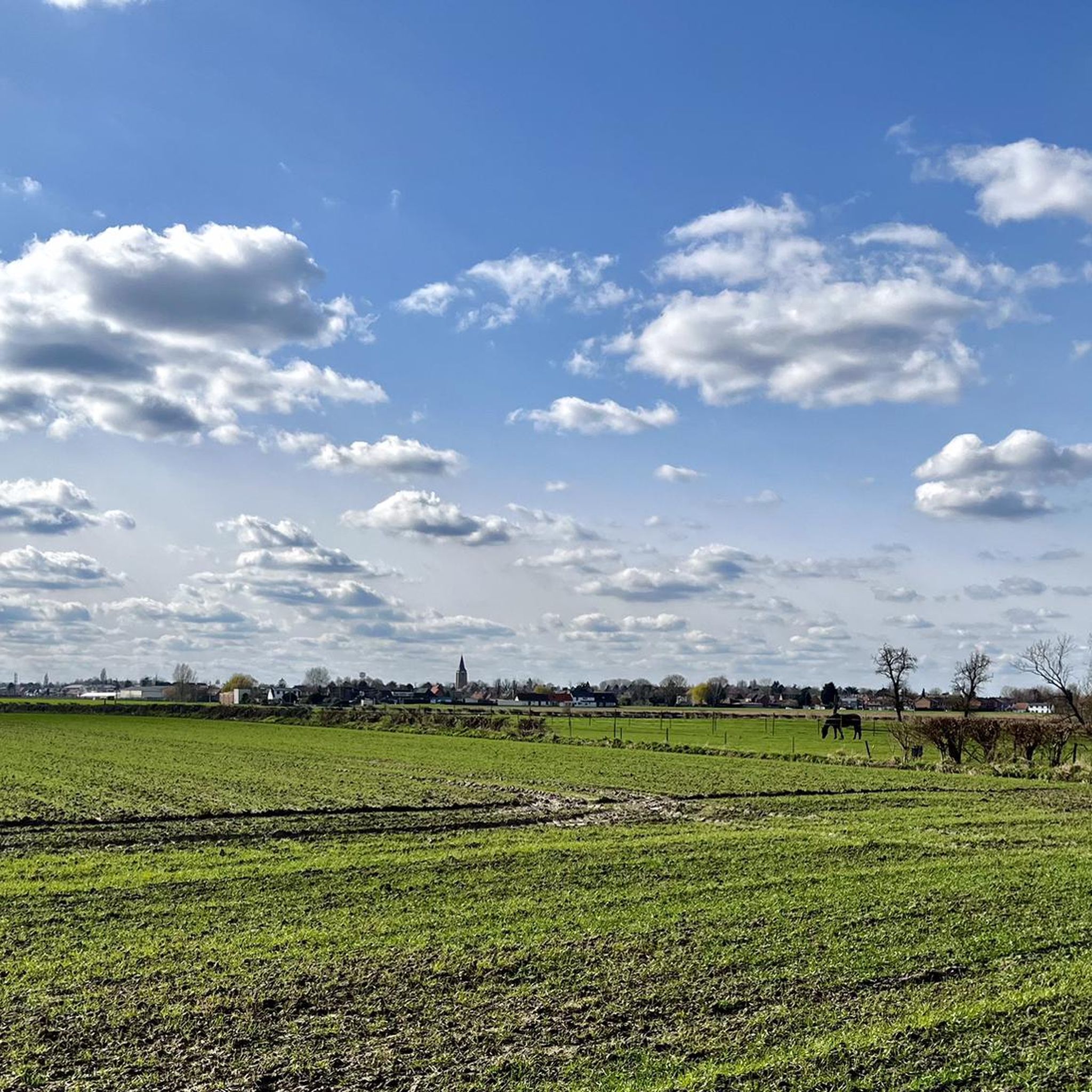
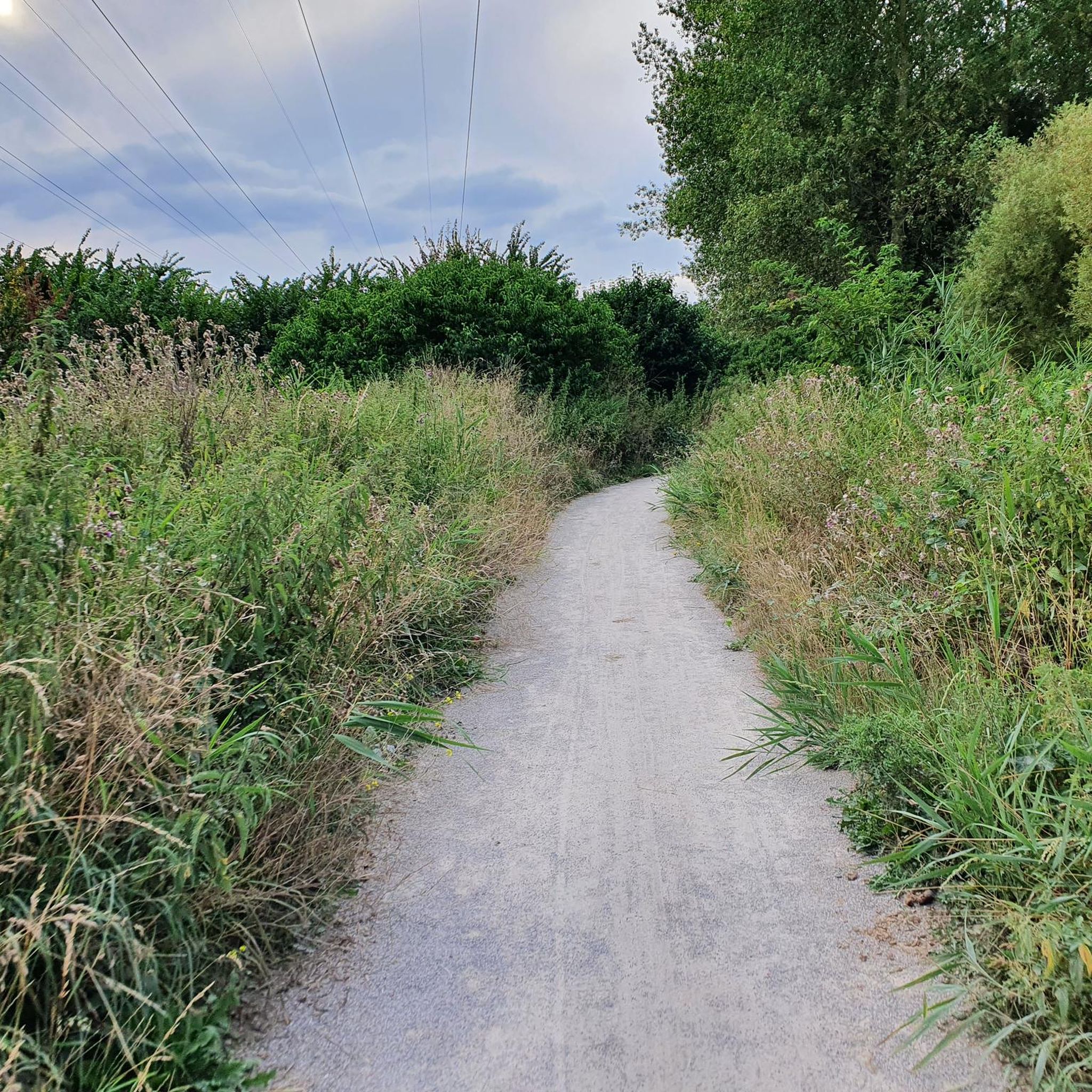
다른 사람이 보이지 않을 때 정말 재미있습니다. 그리고 뒷바람이 불면 두 배로 즐겁습니다.
0
0

The old tram line in Rollegem was redeveloped into a slow road. It took some time to complete the final section, at the former tram station on Tombroekstraat (Beekweg). From the 18th century until May 25, 1963, the tram station served as a stop on the Kortrijk-Mouscron line. This line not only transported passengers, but often also a wagon loaded with goods or coal. The stop and loading yard were located on Tombroekstraat. From 1902 to 1938, the line was electrified. In 1963, a bus line replaced the tram. In 1990, the Flemish government constructed a cycle path on the embankment of the decommissioned line, connecting Bellegem with Rollegem, including a tunnel under the A17 motorway. However, approximately 300 meters of tram track, between two meadows, remained untouched. Starting in 2004, the city council purchased plots of land along the tram track. The missing section was included in the Cycle Route Plan. This section also includes the former bridge over the Fabrieksbeek stream. The new Chiro building is located on the site of the former tram station. Source: Stadskrant Kortrijk
4
0
The Mauroy Bridge is one of three movable bridges spanning the canal at Saint-Léger. Each bridge had a bridge keeper's house, where the bridge keeper lived, responsible for opening and closing the bridge each time a ship passed. These houses were often also cafés... or still are, as here. Just beyond the bridge, the old Mauroy farm bordered an imposing castle, the Mauroy Castle, designed by Sanderus in 1644. In 1504, the castle and the Mauroy estate belonged to Arnould de Maulde, a lord of the manor. Source: brochure "Promenade Saint-Léger"
3
0
The original 14th-century church was destroyed by the Germans in 1918, at the end of World War I. They blew up the bell tower, which then collapsed, almost completely destroying the church. Miraculously, part of the original Gothic facade, including the 15th-century portal, remained standing. In 1923, barely five years after the destruction, the new church was built thanks to the villagers' determination and donations. This reconstruction was the work of architect Paul Clerbaux, who designed the church according to the same plan as the previous one, in the neo-Gothic style. The vaults were raised with ribbed arches, and the tower was built higher, above the transepts. The portal, dating from the 15th century, has a basket-handle arch beneath a pointed arch, flanked by two buttresses added in 1923. On either side of the doorposts are two statues in a covered niche, decorated with cabbage leaves. The first statue depicts Saint Amand (damaged by iconoclasts in 1566), and the other Saint Vincent (a saint not generally venerated in the Tournai region). Source: cipar.be
3
0
The Roubaix Canal, or the Espierres Canal, as it's called in French or Belgian, forms part of the link between the Deûle River in France and the Scheldt River in Belgium. In 1843, the two canals were connected between Leers, France, and Leers-Nord, Belgium. Despite damage sustained during the two world wars, the canal was the pinnacle of the region's textile industry for over a hundred years, transporting coal from Belgium to numerous French factories. In Leers-Nord, Belgium, the workers who pulled the coal-laden barges were called "satcheux" (sailors). Next to the lock keeper's house, a stone's throw from France, the crossing point between France and Belgium, a customs guardhouse was built. Customs officers were present to inspect the numerous goods transported by barge. After the decline of the textile industry in the 1970s and 1980s, the canal gradually lost its usefulness and was closed to shipping in 1983. In the early 2000s, the canal was the subject of a cross-border rehabilitation project to allow tourist boats to pass through again. As part of the Interreg Blue Links project, a collaboration between France, Flanders, and Wallonia, it was flooded again. The final works were completed in 2011, and navigation reopened. Since the early 20th century, the Roubaix/Espierres Canal has been a place of conviviality, walking, and fishing for cross-border residents and commuters. Consequently, strong public opposition has arisen to the plan to convert the canal into a motorway. Source: www.caue-nord.com
3
0

The estate known as Hof van Rollegem already existed before 1260 and was at that time part of the seigneury of Rollegem. It came into the possession of Hugo III van Halewijn through his marriage to Fressende van Rollegem, linking it to one of the prominent noble families of the region. The property formed part of the fief held from the castle of Kortrijk. In 1559, ownership passed to the influential de Croÿ family, and shortly after, in 1581, Charles de Croÿ, Prince of Chimay, held the domain. In 1733, Engelbert-Frederik M.J. d’Ennetières, Count of Mouscron, became the new owner. His coat of arms and the inscription “OBYT 30 7bre 1735” are still visible on the keystone of the farm’s gatehouse. The d’Ennetières family controlled the estate until the French Revolution, when they lost their feudal privileges and the title of Lords of Rollegem. https://inventaris.onroerenderfgoed.be/erfgoedobjecten/61026
0
0

Vintage drawbridge on the Espierres Canal: https://fr.wikipedia.org/wiki/Canal_de_l%27Espierres
4
0
란노이 주변에서 가장 인기 있는 명소


더 살펴보기
다른 지역의 최고의 로드 사이클링 경로를 살펴보세요.
