메디스 최고의 사이클링 경로
4.3
(1271)
10,342
자전거 타는 사람
263
라이딩
메디스 최고의 사이클링 경로를 따라 지역을 둘러볼까요? 메디스에서 가장 멋진 자전거 라이딩 장소 중에서 가장 마음에 드는 라이딩을 선택해보세요.
마지막 업데이트: 9월 17, 2026
4.4
(22)
77
자전거 타는 사람
59.8km
03:33
120m
120m
보통 자전거 타기. 좋은 체력 필요. 대부분 포장된 지면. 실력과 관계없이 누구나 갈 수 있음.
4.5
(12)
65
자전거 타는 사람
20.8km
01:24
30m
30m
초급용 자전거 라이딩. 모든 체력 수준에 적합. 대부분 포장된 지면. 실력과 관계없이 누구나 갈 수 있음.

4.4
(9)
30
자전거 타는 사람
보통 자전거 타기. 좋은 체력 필요. 대부분 포장된 지면. 실력과 관계없이 누구나 갈 수 있음.
5.0
(2)
12
자전거 타는 사람
39.4km
02:42
120m
120m
보통 자전거 타기. 좋은 체력 필요. 대부분 포장된 지면. 실력과 관계없이 누구나 갈 수 있음.
4.5
(4)
8
자전거 타는 사람
41.6km
02:30
210m
210m
보통 자전거 타기. 좋은 체력 필요. 대부분 포장된 지면. 실력과 관계없이 누구나 갈 수 있음.
더 다양한 경로와 다른 탐험가들의 추천을 살펴보세요.
이미 komoot 계정이 있나요?
투어 추천은 다른 사람들이 komoot에서 완료한 수천 개의 활동을 바탕으로 구성되어 있습니다.
오늘 무료 계정으로 시작하세요
다음 모험이 기다리고 있어요.

커뮤니티 팁

모르낙의 시장 건물은 중세 시대에 처음 등장했습니다. 1664년에야 비로소 그 존재를 증명하는 최초의 서면 증거가 나타났습니다. 이 건물들은 아마도 더 오래되었을 것이며 1550년대에 지어졌을 수 있습니다. 시장은 일반적으로 돌기둥으로 지지되고 타일로 덮인 목조 구조물입니다. 코즈와 피자니의 시장과 마찬가지로 종교 전쟁의 우여곡절을 겪고 손상되거나 파괴되었다가 평화가 회복된 후 재건되었을 것으로 추정할 수 있습니다. 모르낙 시장 건물의 위치는 유명한 박람회 장소였으며 주민들이 영주에게 지불하는 권리를 대가로 상품을 판매할 수 있도록 했습니다. 이는 영주에게 중요한 수입원이자 시장 건물을 완벽한 상태로 유지해야 하는 의무를 부과했습니다. 영주와 판매자를 구속하는 행위는 해당 시장 건물의 상품 판매 및 유지 보수 권리를 명시하는 계약을 봉인했습니다.
0
0

주의: 페리는 카드 결제를 받지 않습니다! 현금 없이는 번잡한 다리를 건너 우회해야 합니다. 2026년 요금은 3유로입니다.
1
0

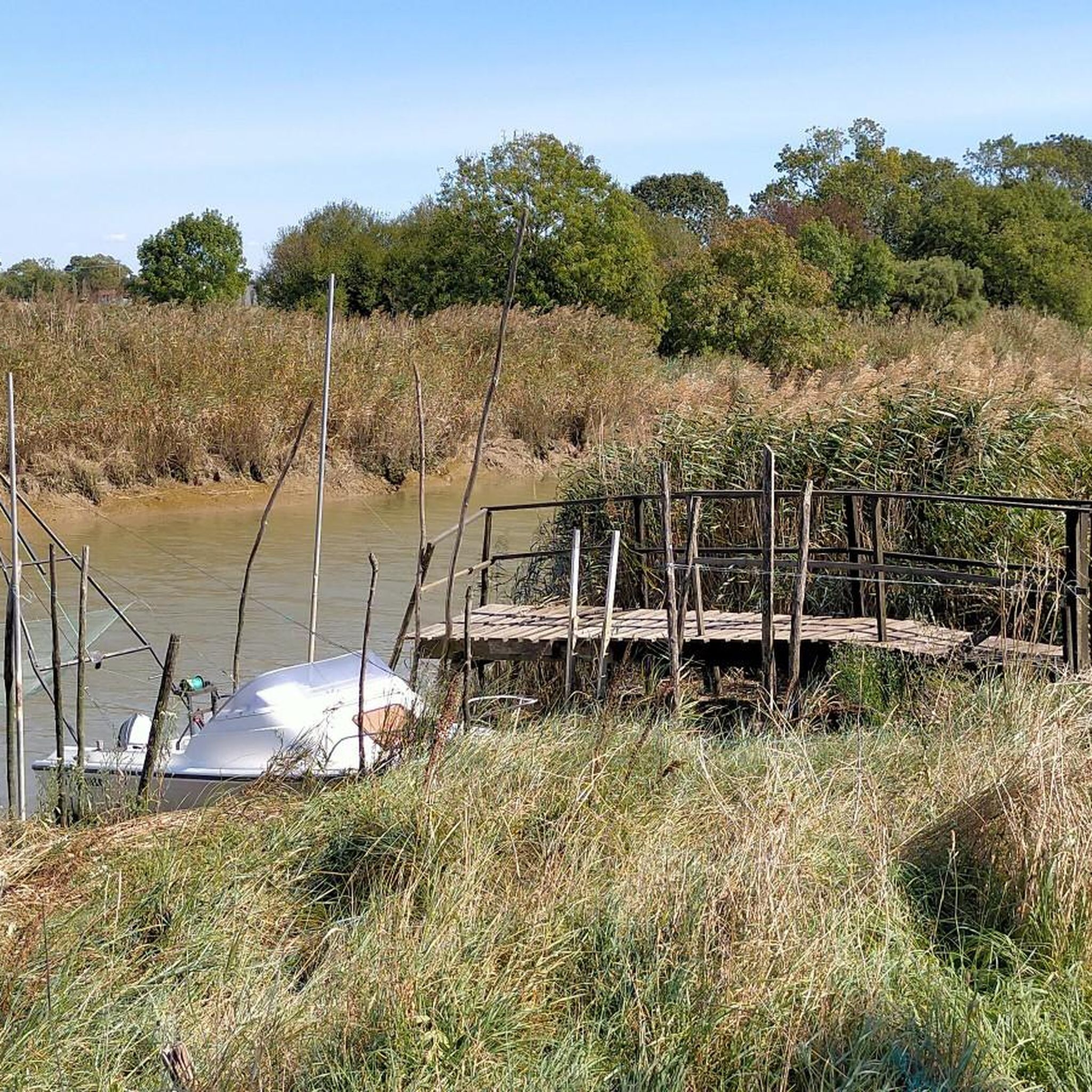
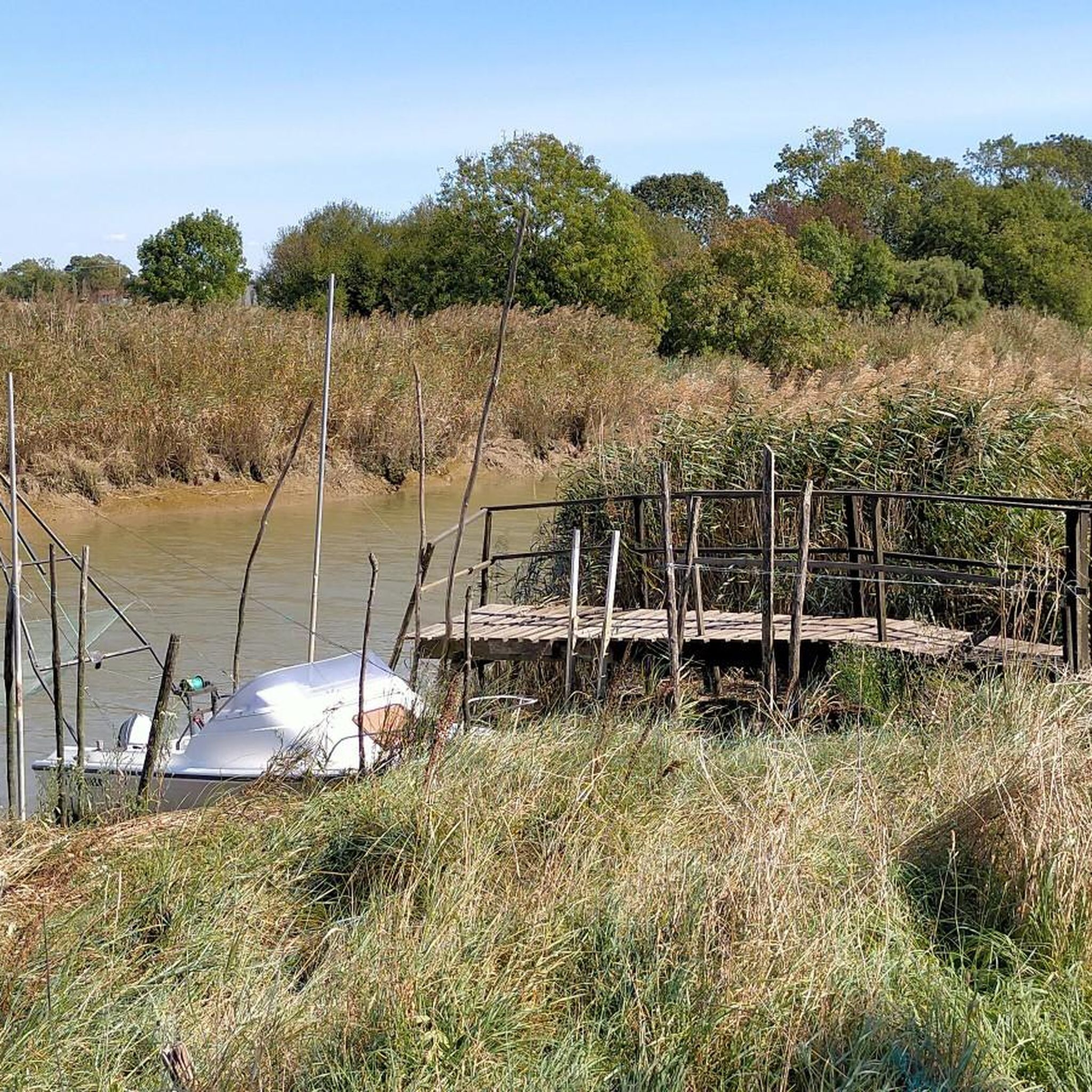
The port of Ribérou is a major heritage site in Saujon, bearing witness to a prosperous maritime past linked to the salt and wine trade. Transformed in the 19th century by ambitious works, it has now been reinvented as a place for living, relaxation, and preserving local history. 🛶 Origins and the Middle Ages The port of Ribérou takes its name from the Latin word ripa ("riverbank") or the Occitan word ribèira ("river"). It is located at the head of the Seudre estuary. It existed as early as the 11th century and became an important river and sea port thanks to its strategic position at the head of the estuary, used particularly for the salt trade—then called "white gold"—a highly sought-after product for preserving food. 🚢 Medieval Period and International Trade With the opening of British markets during the reigns of Eleanor of Aquitaine and Henry II Plantagenet, ships laden with wool, salt, wine, and other goods flocked to Ribérou. In the 16th century, the port exported local wines (such as cognac and pineau) throughout Europe. In 1577, during the Wars of Religion, the port was a strategic site: troops were stationed there, and battles took place. 🏗️ Decline, Reconstruction, and the 19th Century The estuary gradually silted up, making navigation difficult. By 1691, only smaller vessels could dock there. During the French Revolution, the sale of the tidal mill, which helped remove sediment, worsened the silting, leading to the port's decline. A modernization project began in 1822, but it wasn't until 1839 that an ambitious program was launched under the impetus of Jules Dufaure—a native of Saujon and Minister of Public Works—with the construction of sturdy quays, slipways, a lock bridge (marking the boundary between fresh and salt water), and reception facilities. In 1842, the work was completed, and the main quay was named Quai Dufaure in honor of this political support. 📉 Gradual Decline and Modernization The arrival of the railway in 1876 and the persistent problems of silting led to a decline in the port's traditional commercial activity, already facing competition from other transport networks. In the 20th century, the port gradually lost its economic importance but remained active for traditional fishing and became a place for pleasure boating, leisure, and local culture. Urban and tourism development projects (particularly in 2011–2012) modernized the port while preserving its historical charm. 🌊 Today The port of Ribérou is now a small fishing and pleasure port, much appreciated for its walks along the Seudre River, water sports (canoeing, kayaking, paddleboarding, etc.), and seasonal events.
0
0
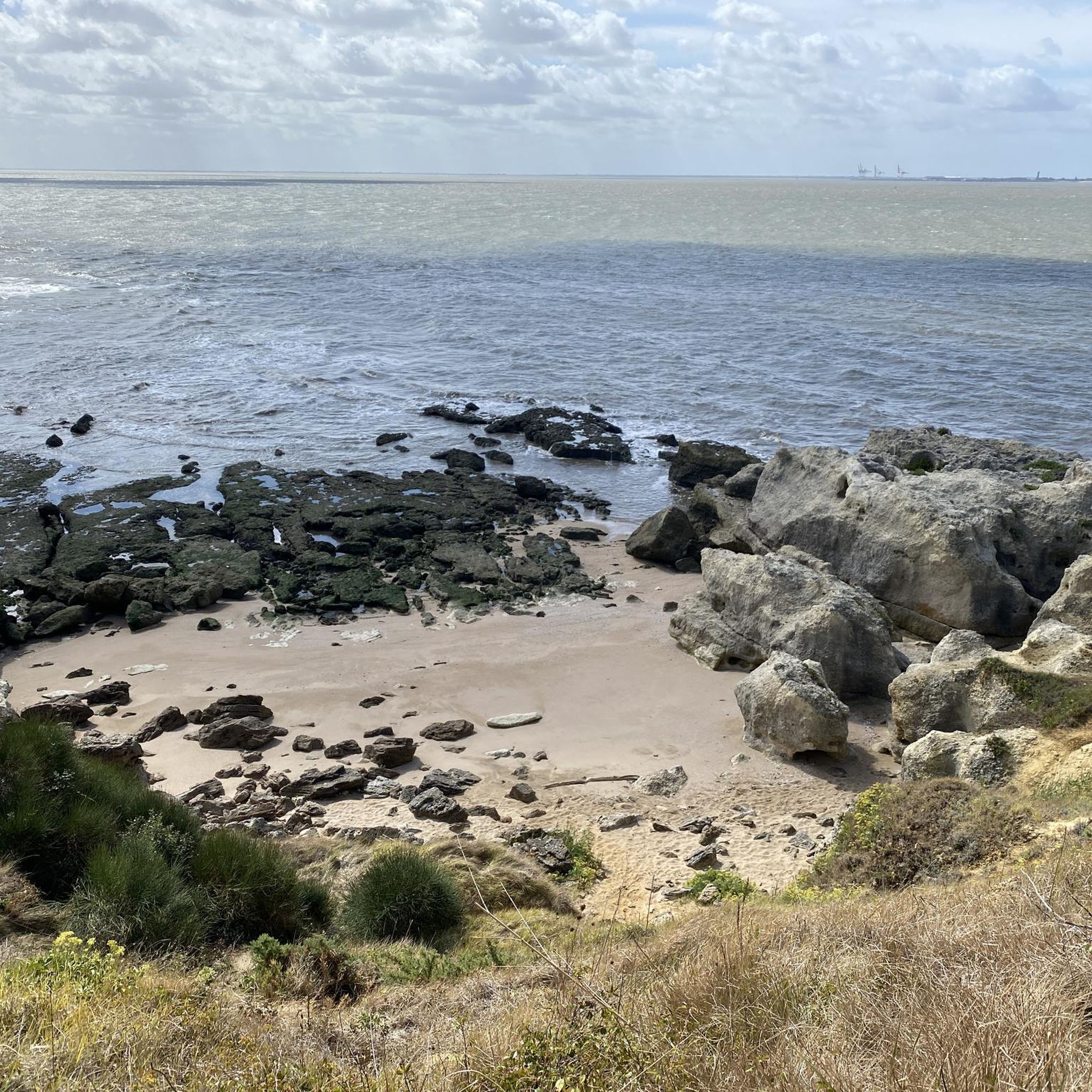
🏖️ General Overview Chay Beach is a family-friendly, fine sandy beach located in Royan (Charente-Maritime), on the Côte d’Argent promenade between Pigeonnier Beach and Pointe du Chay. It stretches for approximately 200 meters and boasts a pleasant natural setting, with a cove bordered by rocks typical of the Charente coastline. 🏝️ Features • 🌊 Beach type: fine sand, sheltered cove. • 🏄♂️ Atmosphere: relatively calm and family-friendly, ideal for children and vacationers seeking relaxation away from the large urban beaches. • 🐾 Pets: prohibited from April 1st to September 30th. • 🫧 Water quality: excellent (Blue Flag label awarded for 2025). 🧭 Lifeguard and Safety • Swimming is supervised during the season (June to early September), with areas marked by red and yellow flags. • The area is classified as a Category 3 "Supervised Beach" and lifeguards are present during the indicated hours. 🪑 Amenities On-site, you can find: • 🏖️ Sun loungers, parasols, and mattresses for rent. • 🚿 Foot rinse and public restrooms. • 📶 Wi-Fi access, first aid station, and an area accessible to people with reduced mobility (assistance may be required depending on the slope). • 🍴 Beachfront restaurant ("Le Chay" bar-restaurant with sea views). 🚶♂️ Atmosphere and Activities • 🎈 Ideal for families and leisurely strolls. • 🌞 People come here for swimming, playing on the sand, flying kites, or simply relaxing by the ocean. • 🅿️ Parking is available nearby, and the beach is easily accessible on foot or by bike from Royan town center in just a few minutes. 🧭 Practical Tips • 📆 Best time to visit: summer for supervised swimming and full services, but also during the off-season for a more peaceful atmosphere. • ☀️ Arriving early in the morning makes parking easier during peak season. • 🐶 Dogs are not allowed during the summer season; check the signs on site during the off-season.
0
0

The flushing lock is located at the head of the port, between the north bank's embankment and the south bank's quay. A retention basin, occupying the non-navigable Seudre riverbed as far as Saujon, follows the flushing lock. Within the retention basin, rubble stone embankments extend the lock's return walls for a few meters. The lock itself forms a bridge carrying a road. The lock bridge consists of two piers, forming three arches, each housing two gates. On the upstream side of the lock, the piers have semicircular cutwaters. The three bands are stacked and terminate in clamps. The lock ends with a cornice resting on modillions. The cornice follows the shape of the cutwaters. A metal balustrade, also semicircular in shape, is fixed to the top of the lock. This balustrade is framed by two stone moldings. The sluice gate and its upstream and downstream return walls are constructed of dressed stone. The masonry is of medium and regular quality, except for the coping of the return walls, which features large and regular masonry. The upstream north return wall is lower than the one on the south bank. A small parapet of recently constructed white rubble masonry surmounts it. The sluice gate is equipped with metal gates, the modern racks of which are visible. The first sluice gate was built around 1825 on the site of a former tidal mill. During the works carried out between 1839 and 1842, the sluice gate's embankment was modified to allow the passage of vehicles. Between 1847 and 1853, the lock was enlarged to allow for larger flushes, and the reservoir was excavated. Return walls were also built to connect the flushing lock to the riprap. It was then restored in 1865 and completely rebuilt between 1868 and 1869. The lock is 10.50 m wide, and its gates are each 1.50 m wide. The reservoir is 700 m long and has an average width of 30 m.
0
0


for a typical view here on the coast.. the cycle path along the shore is also worth it
0
0
메디스 주변에서 가장 인기 있는 명소


더 살펴보기
다른 지역의 최고의 자전거 경로를 살펴보세요.
