비젠탈 최고의 워킹 & 하이킹 경로
4.6
(2988)
9,449
등산객
192
하이킹
Komoot에 등록된 비젠탈 내 트레일 및 경로 컬렉션 중에서 하이킹과 워킹을 가장 멋지게 즐길 수 있는 곳을 알려드릴게요. 아래에서 각 경로의 상세 정보를 모두 확인한 후, 비젠탈 속 자연에서 즐거운 시간을 누려보세요.
마지막 업데이트: 10월 20, 2026
4.9
(794)
2,505
등산객
7.73km
02:02
60m
60m
보통 하이킹. 좋은 체력 필요. 실력과 관계없이 누구나 쉽게 갈 수 있는 길.
4.8
(120)
309
등산객
9.47km
02:28
70m
70m
보통 하이킹. 좋은 체력 필요. 실력과 관계없이 누구나 쉽게 갈 수 있는 길.

4.7
(107)
314
등산객
6.96km
01:48
40m
40m
초급용 하이킹. 모든 체력 수준에 적합. 실력과 관계없이 누구나 쉽게 갈 수 있는 길.
4.8
(113)
338
등산객
7.20km
01:51
30m
30m
초급용 하이킹. 모든 체력 수준에 적합. 실력과 관계없이 누구나 쉽게 갈 수 있는 길.
4.9
(101)
310
등산객
8.48km
02:11
40m
40m
보통 하이킹. 좋은 체력 필요. 실력과 관계없이 누구나 쉽게 갈 수 있는 길.
더 다양한 경로와 다른 탐험가들의 추천을 살펴보세요.
이미 komoot 계정이 있나요?
투어 추천은 다른 사람들이 komoot에서 완료한 수천 개의 활동을 바탕으로 구성되어 있습니다.
오늘 무료 계정으로 시작하세요
다음 모험이 기다리고 있어요.


커뮤니티 팁


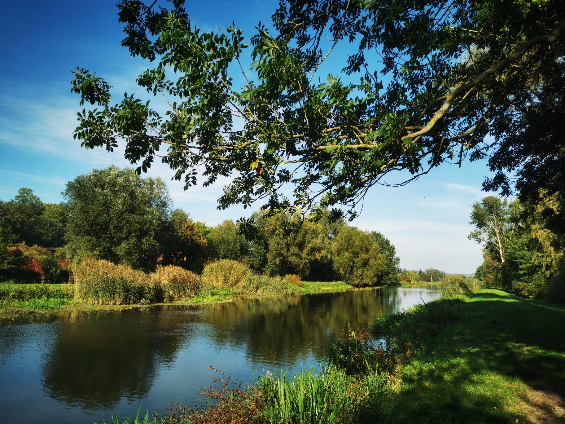
The relatively new bridge on the Berlin-Usedom cycle path is a pleasant place to linger. A short distance beyond it is a nice rest area.
1
0

Perfect place for a short half-time stop in the sun on the Hellsee circular hiking trail
1
0

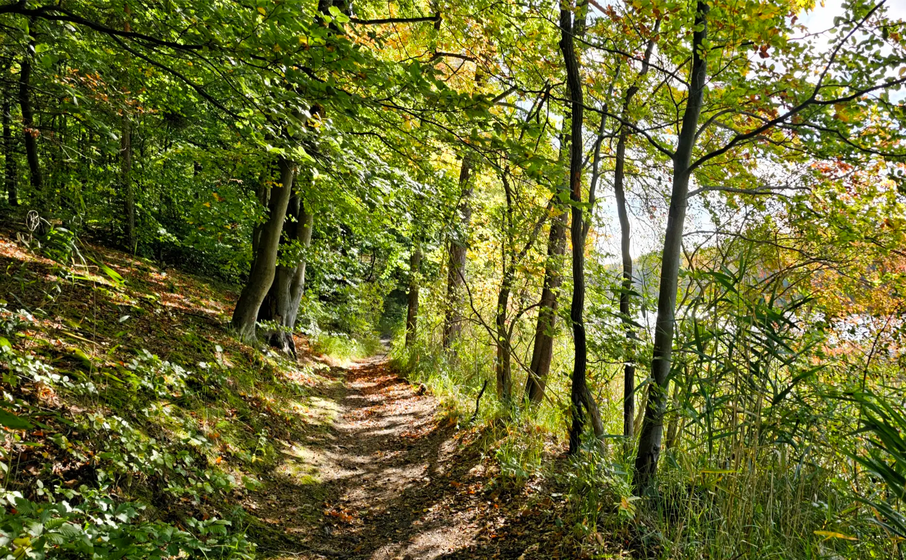
Beautiful circular walk around the Hellsee (approx. 8km) Unfortunately quite busy in summer. But in the cold season you can have peace and quiet there.
1
1
Active beaver at the lake
0
2


The Hellsee is a two-kilometer-long channel lake surrounded by mixed forest. It has an area of 42.91 hectares. The width varies between 40 and 300 meters. The average depth is 3 meters, the maximum depth is said to be 11 meters. The average visibility is almost 2 meters. At the northern tip of the lake there is a marshland, caused by the inflows from the Obersee and the Krummen Lanke, which is crossed by a footbridge. Another marshland can be found in the southeast of the lake. The lake drains at Hellmühle via the Hellmühler Fließ, which runs northwards, into the Finow and further towards the Oder. Source Wikipedia
0
0
비젠탈 주변에서 가장 인기 있는 명소


더 살펴보기
다른 지역의 최고의 하이킹를 살펴보세요.
