오뜨루체에서 가장 멋진 20개의 호수
오뜨루체에서 가장 멋진 호수를 방문하고 싶나요? 호숫가의 고요한 분위기를 느끼거나 날씨가 따뜻한 날 호수에 발을 살짝 담글 수 있다면 얼마나 좋을까요? Komoot 커뮤니티가 추천한 오뜨루체의 주요 호수를 아래에서 살펴보고, 다음 모험 때 직접 찾아가보세요!
마지막 업데이트: 11월 1, 2026


오늘 무료 계정으로 시작하세요
다음 모험이 기다리고 있어요.




커뮤니티 팁

The Roselend Dam is located in the commune of Beaufort-sur-Doron, in the Beaufortain region of Savoie, between the Col du Pré and the Cormet de Roselend, near the Arêches-Beaufort ski resort. The surrounding mountains reach an altitude of around 2,800 meters. It is part of the Roselend La Bâthie hydroelectric complex, which includes the Roselend Dam and two satellite dams: La Gittaz and Saint-Guérin. This complex is managed by EDF's Alpes Production Unit. The Roselend La Bâthie hydroelectric complex produces the equivalent of the domestic energy consumption of 450,000 residents, thus avoiding the emission of 890,000 tons of CO2 per year. The Roselend Dam is a double-curved arch dam with buttresses. Height = 150 meters Crest length = 804 meters Water reservoir [of the hydroelectric complex] = 187 million m3 The Roselend - La Bâthie development is supplied by the Roselend dam itself, as well as by two satellite dams, La Gittaz and Saint-Guérin. The total storage capacity of these three reservoirs, connected by a system of galleries, is 213 million m3. The water collected at Roselend crosses the massif through a 12.5 km long gallery to flow at an altitude of 1,400 m into the Isère Valley, in the Tarentaise region. It is then transported to the underground plant at La Bâthie via a 2,500 m long penstock, with a drop of 1,200 m. The power plant is equipped with six Pelton-type generating units with a total capacity of 550 MW. Since 2013, EDF has been replacing the main components of each generating unit (turbine, generator, transformer, and energy evacuation cables) to achieve a total capacity of 600 MW by the end of 2018. https://youtu.be/G0Ss9v6wxQQ
1
0

One of the most visited sites in the Alps, on foot or by bike.
0
0

Fork: descent to Arêches via the Col du Pré, towards Beaufort with a better road for the descent, and towards the Cormet de Roselend to the east.
0
0
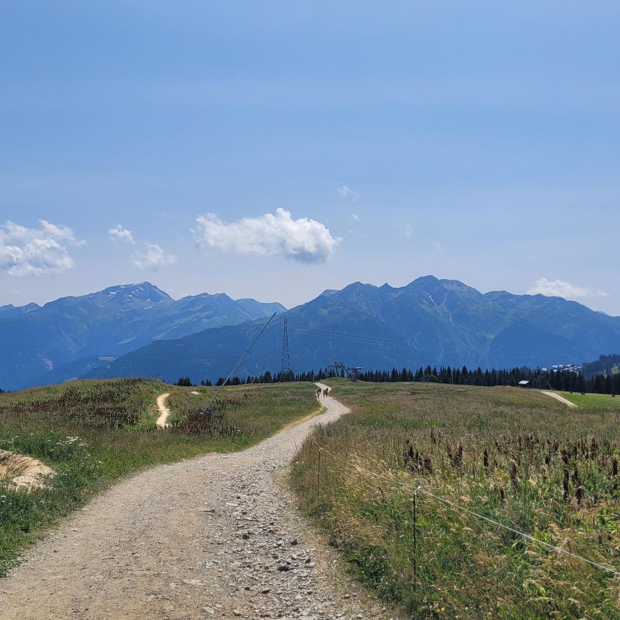
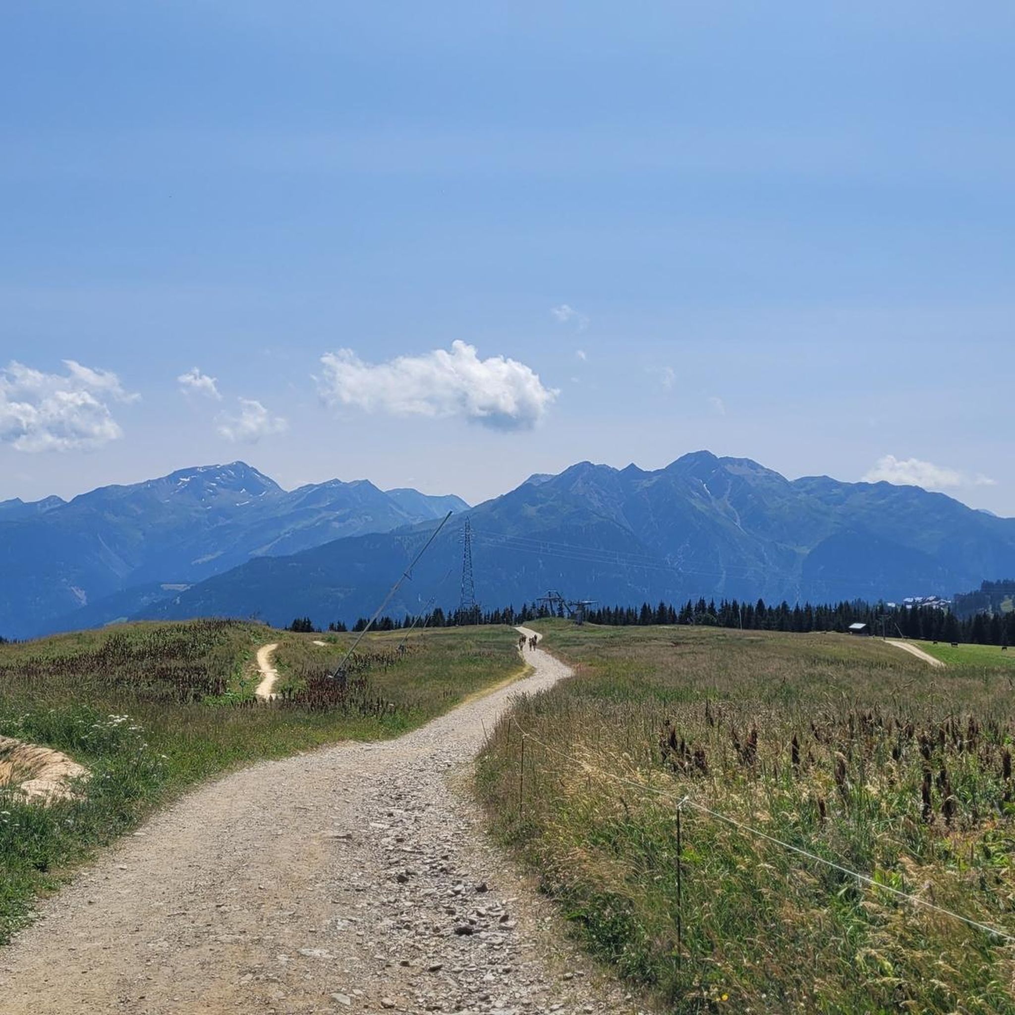
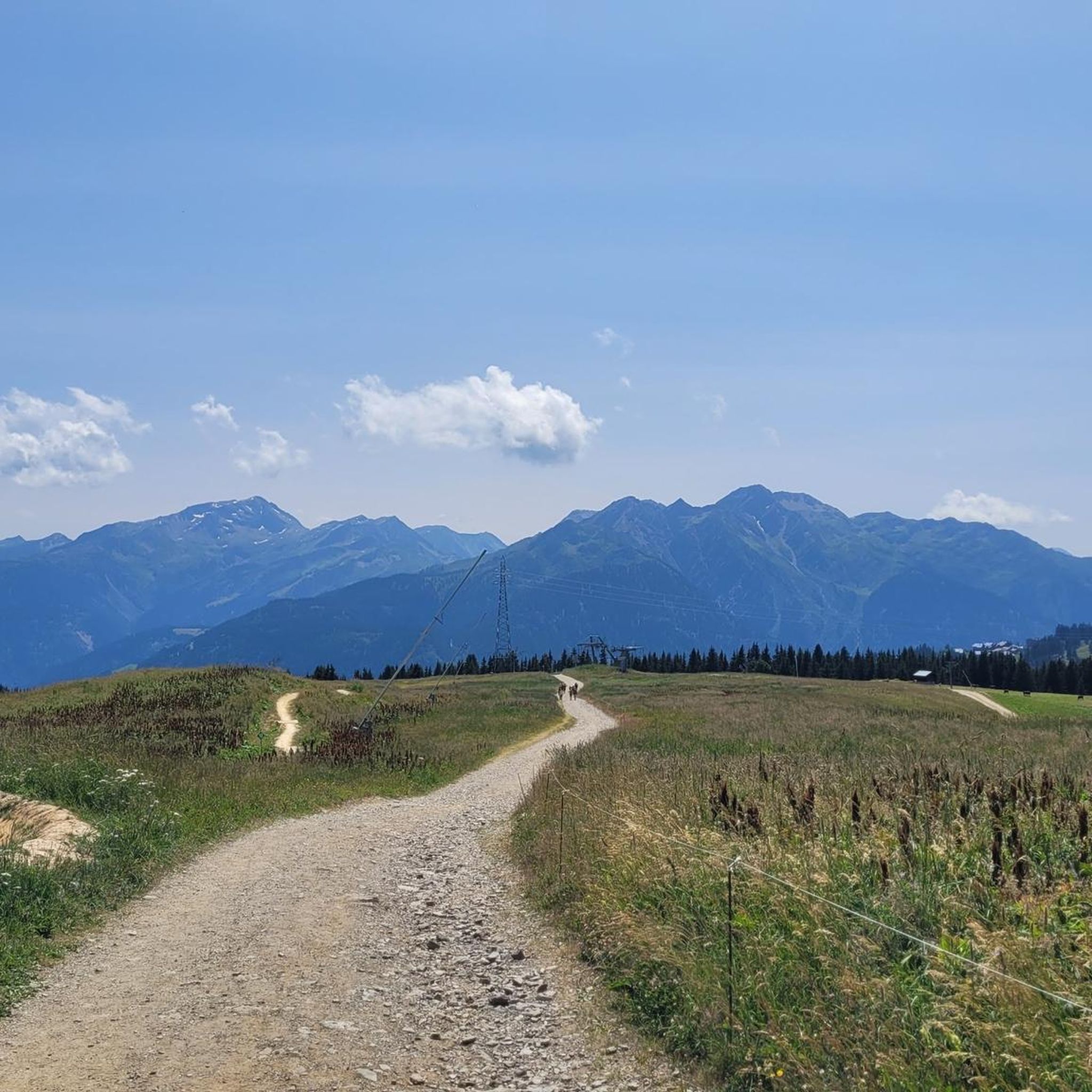
Excellent welcome, with meal, coffee and dessert. Magnificent view of the peaks to the south: Pierra Menta, Roc de la Charbonnière, Pointe de Cerdosse, Mont Rosset.
1
0

The Cormet de Roselend is a spectacular hill located in Savoie, France. The hill is located at an altitude of 1,968 meters and connects the municipalities of Beaufort and Bourg-Saint-Maurice. On the Beaufort side it is possible to admire a splendid lake created following the construction of a dam.
1
0


With a stop at the Chalet de Roselend. on this tour: Beaufort, Cormet de Roselend, Bourg St Maurice 2023_06_24 tab https://www.komoot.de/tour/1182531490
0
0


더 살펴보기
오뜨루체 주변에서 완벽한 호수를 아직 못 찾으셨나요? 이 지역의 가이드를 확인하여 더 아름다운 장소를 찾아보세요.
