부르 생 모리스에서 가장 멋진 20개의 호수
부르 생 모리스에서 가장 멋진 호수를 방문하고 싶나요? 호숫가의 고요한 분위기를 느끼거나 날씨가 따뜻한 날 호수에 발을 살짝 담글 수 있다면 얼마나 좋을까요? Komoot 커뮤니티가 추천한 부르 생 모리스의 주요 호수를 아래에서 살펴보고, 다음 모험 때 직접 찾아가보세요!
마지막 업데이트: 8월 31, 2026


오늘 무료 계정으로 시작하세요
다음 모험이 기다리고 있어요.
로그인 또는 가입하기
부르 생 모리스 주변 인기 장소
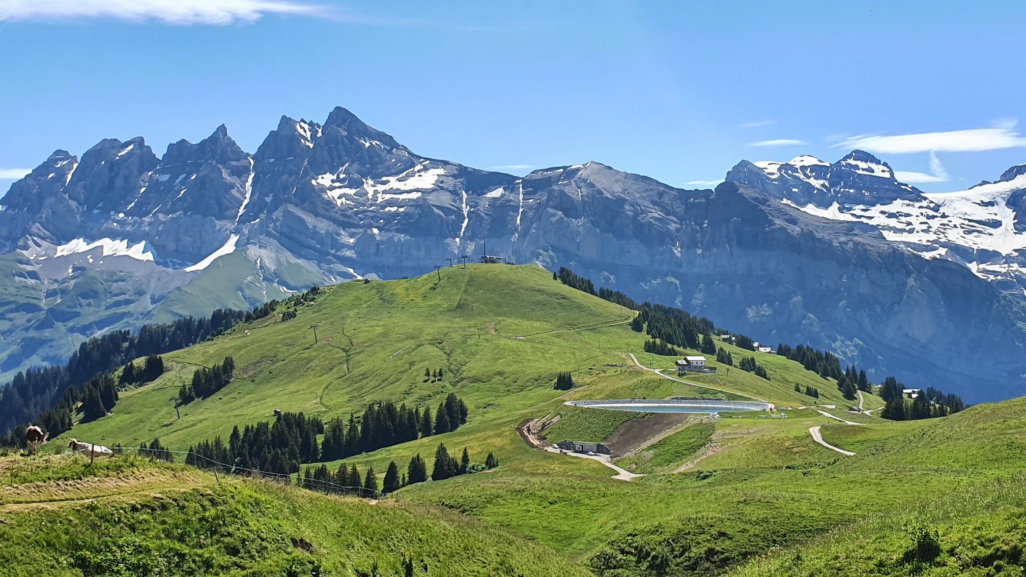
란드리에서 토놈롱베냉까지 하이킹 - 유럽 트레일 (GR 5)
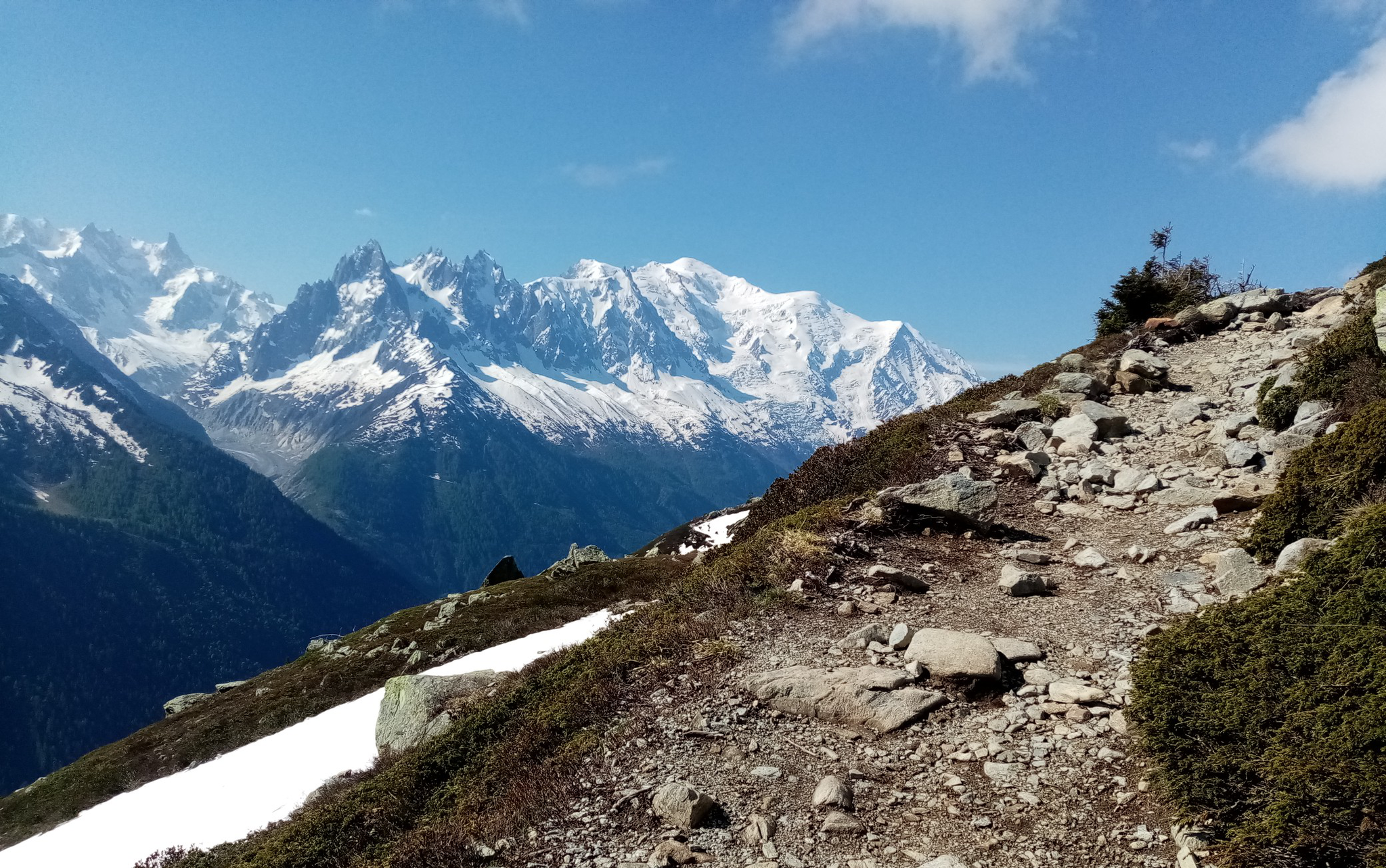
울트라-트레일 듀 몽블랑 - 전설의 자취를 따라
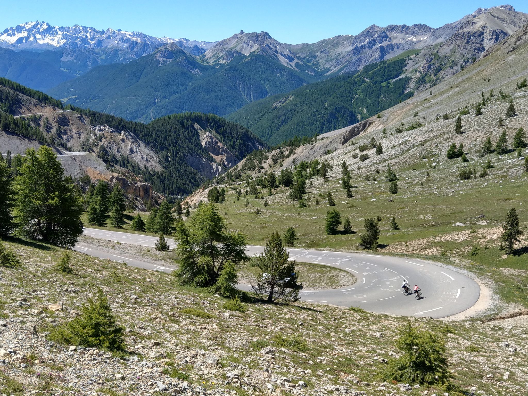
그랑드 알프 루트 - 에비안에서 니스까지 6일
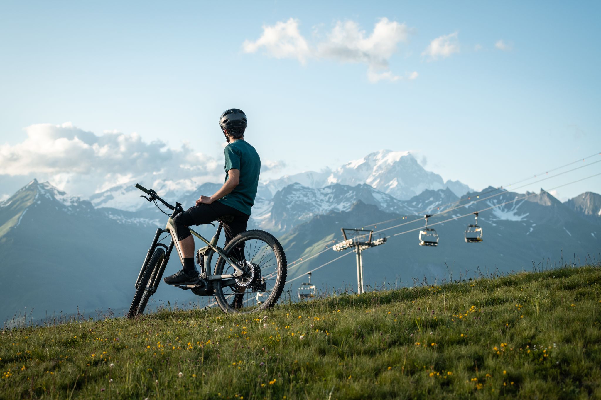
MTB routes around Bourg Saint Maurice – Les Arcs

그랑드 알프스 도로
브리앙손에서 Aosta까지 - 알프스를 건너는 여행 (파트 2)
알프스로의 도주 - 키아푸치의 1992년 프랑스 순환 경주 업적

Cycling in Savoie Mont Blanc – discover routes between lakes and mountains
공이일 오르 인스타일 아니다 - Mont Blanc MTB Tour

프랑스 북부 알프스의 엑사트레크 - 사보이에서 바누아즈까지의 하이킹
부르 생 모리스 주변의 다른 모험


커뮤니티 팁

Steep and rugged climb. On the way back, follow the ski slope to the left. The descent is steep, but on soft, level terrain.
0
0

Lake Verney is the largest natural alpine lake in the Aosta Valley. Of glacial origin, it is located at 2,088 m above sea level, between the Bec des Rousses, the promontory of the Piccolo San Bernardo, and Mount Chaz Dura. The shores of the lake are colonized by hygrophilous vegetation that includes prized botanical varieties such as eriophilous grasses, sedges and rushes as well as sphagnum, a typical species of peat bogs. On the sides, the work of nature has left morainic deposits rich in springs, a perfect habitat for primroses and saxifrages. In a distant time, over 2,000 years ago, the Salassi people considered these waters sacred: they were used to bless the fields, unions and children, to propitiate a fruitful summer or a benevolent winter. When the Salassi leaders returned victorious from a battle, they offered the swords of their fallen adversaries to Graio, the god of war and rocks, as a sign of thanks. Today, Lake Verney is a favorite destination for many tourists as well as a fishing reserve. You can walk around its entire perimeter with a comfortable walk of about 45 minutes and by climbing further you can reach the Upper Lake Verney in about half an hour.
1
0

The Cormet de Roselend is a spectacular hill located in Savoie, France. The hill is located at an altitude of 1,968 meters and connects the municipalities of Beaufort and Bourg-Saint-Maurice. On the Beaufort side it is possible to admire a splendid lake created following the construction of a dam.
1
0

이곳은 산과 빙하의 숨막히는 풍경 한가운데에 있는 예쁜 작은 호수입니다. 놀라운 장소입니다. Miage 빙하의 강력한 측면 빙퇴석이 Val Veny의 배수를 막아, 부분적으로 식물이 풍부하고 작은 수면을 가진 넓은 습지 지역이 형성되었습니다.
1
0
Lake Chécrouit is a small mountain lake located in the Val Veny at an altitude of 2,165 meters. On clear days, the majestic glaciers clinging to the rock spiers are reflected in this small body of water. A truly extraordinary show!
2
0

Lac Chécrouit and Lac des Vesses On the route of the Tour du Mont Bianc, a section in Italy, one encounters the alpine lakes Lac Chécrouit and Lac des Vesses. Located in the Val Veny, these two lakes offer a breathtaking view of the southern slope of the Mont Blanc massif and its numerous glaciers. In winter, the lakes are frozen and covered in snow, in summer they are filled with tadpoles and large frogs. Definitely a perfect spot of refreshment for hikers attempting the TMB before descending towards Courmayeur.
2
1


The Roselend de Beaufort cormet is 20.3 km long with a total altitude difference of 1227 m. The average slope is 6.04% with maximum slopes of 9.6%. It's an epic climb that takes you from the valley at Beaufort up to Lake Roseland and it's pretty damn impressive, before continuing to the summit at around 2000m above sea level. If you wish, you can go back down the other side towards Bourg-Saint-Maurice.
4
0
부르 생 모리스 주변에서 가장 인기 있는 명소


더 살펴보기
부르 생 모리스 주변에서 완벽한 호수를 아직 못 찾으셨나요? 이 지역의 가이드를 확인하여 더 아름다운 장소를 찾아보세요.
