부르 생 모리스에서 가장 멋진 20개의 산길
부르 생 모리스에서 가장 멋진 산길을 아래에서 살펴보세요. 풍경을 감상하기에도 좋고, 오르막길/내리막길을 따라 걷기에도 좋은 곳이랍니다. 커뮤니티가 특별 도움을 통해 공유한 콘텐츠인 만큼 믿을 수 있는 정보이니 마음에 드는 산길이 있다면 바로 다음 모험 계획에 추가해서 바로 방문해보세요.
마지막 업데이트: 9월 2, 2026


오늘 무료 계정으로 시작하세요
다음 모험이 기다리고 있어요.
로그인 또는 가입하기
부르 생 모리스 주변 인기 장소
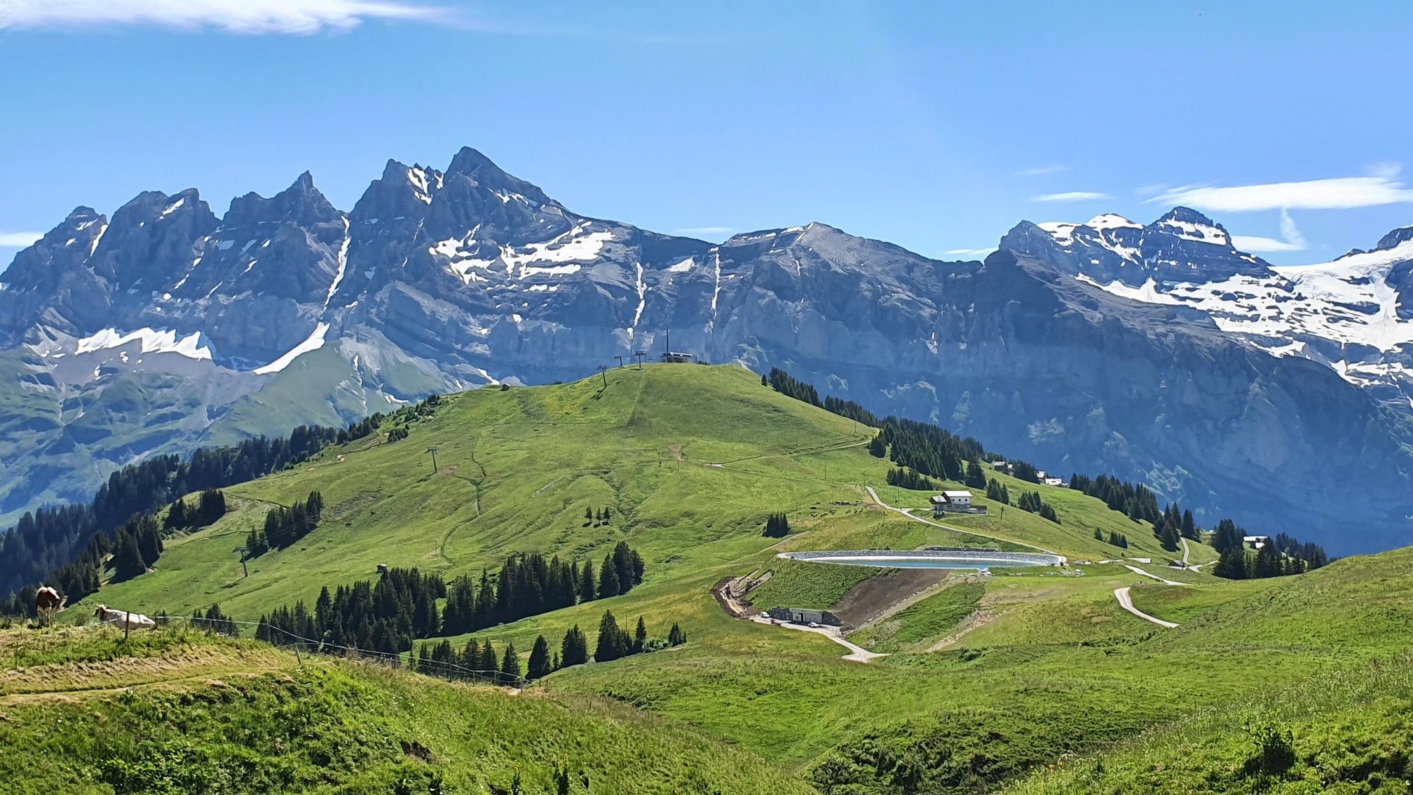
란드리에서 토놈롱베냉까지 하이킹 - 유럽 트레일 (GR 5)
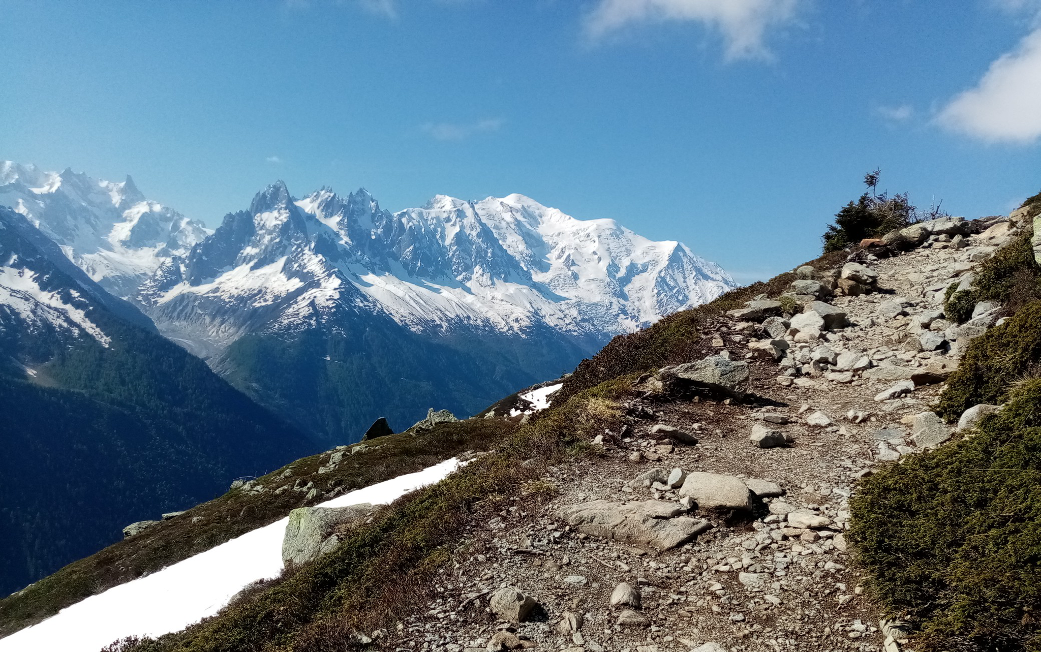
울트라-트레일 듀 몽블랑 - 전설의 자취를 따라
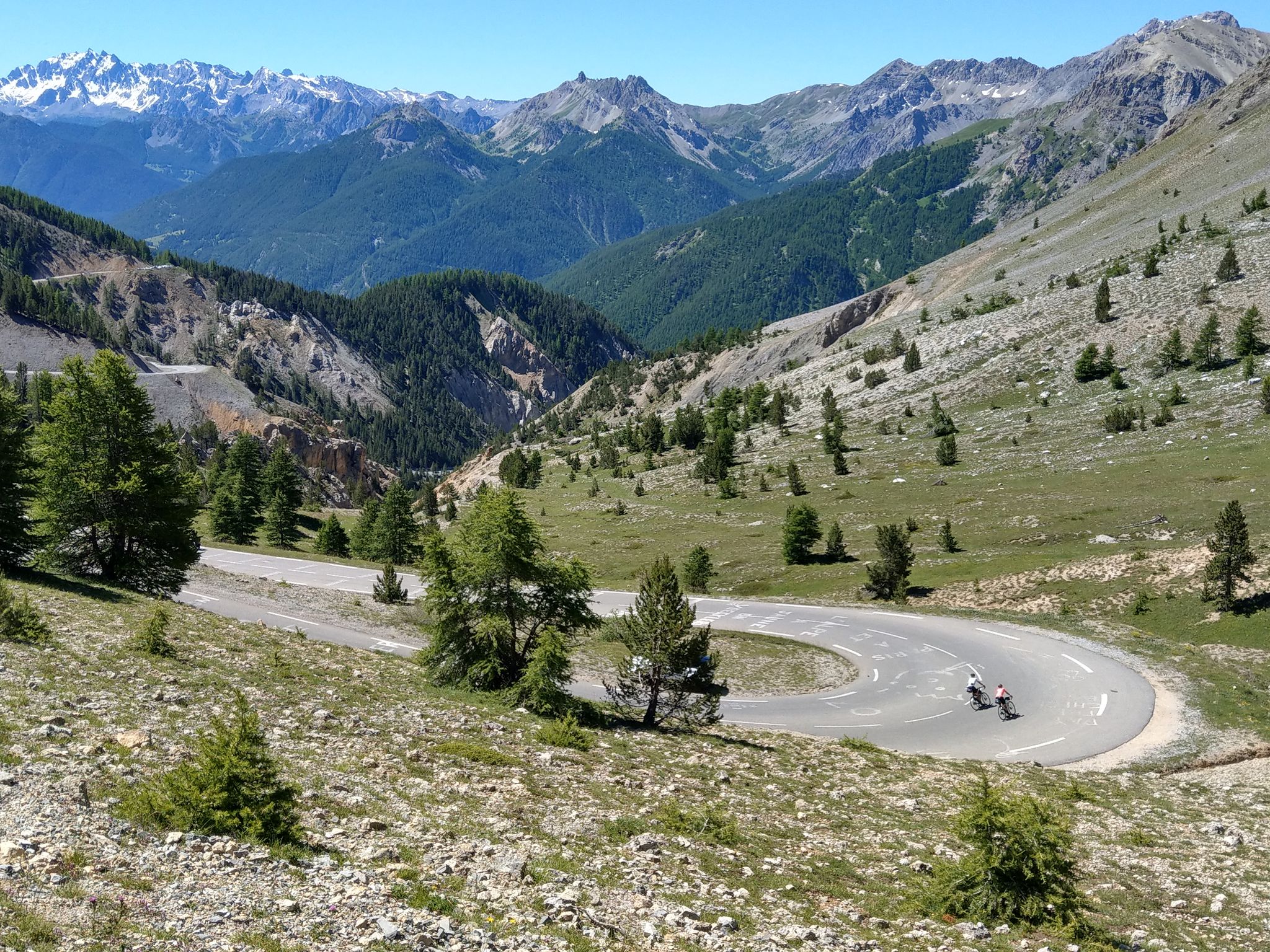
그랑드 알프 루트 - 에비안에서 니스까지 6일
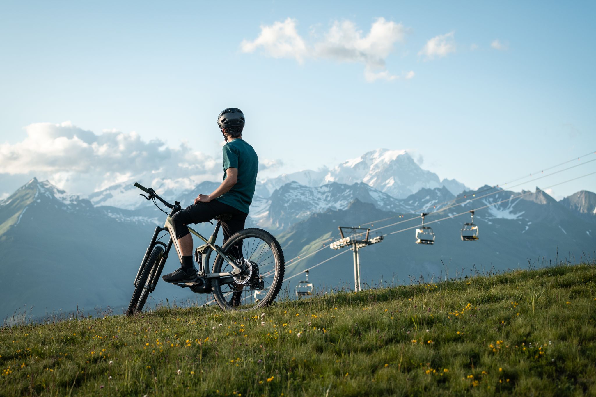
MTB routes around Bourg Saint Maurice – Les Arcs

그랑드 알프스 도로
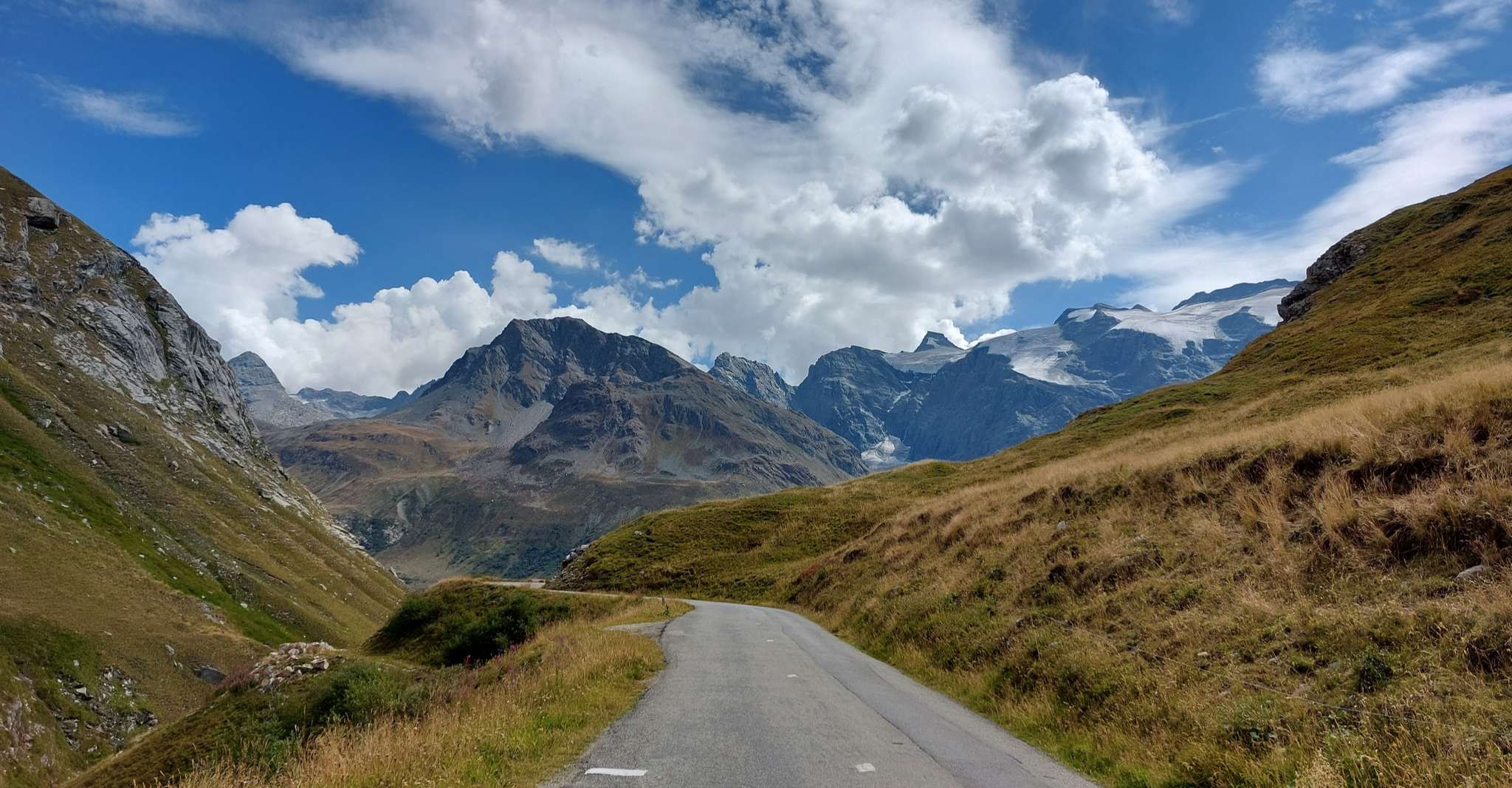
브리앙손에서 Aosta까지 - 알프스를 건너는 여행 (파트 2)
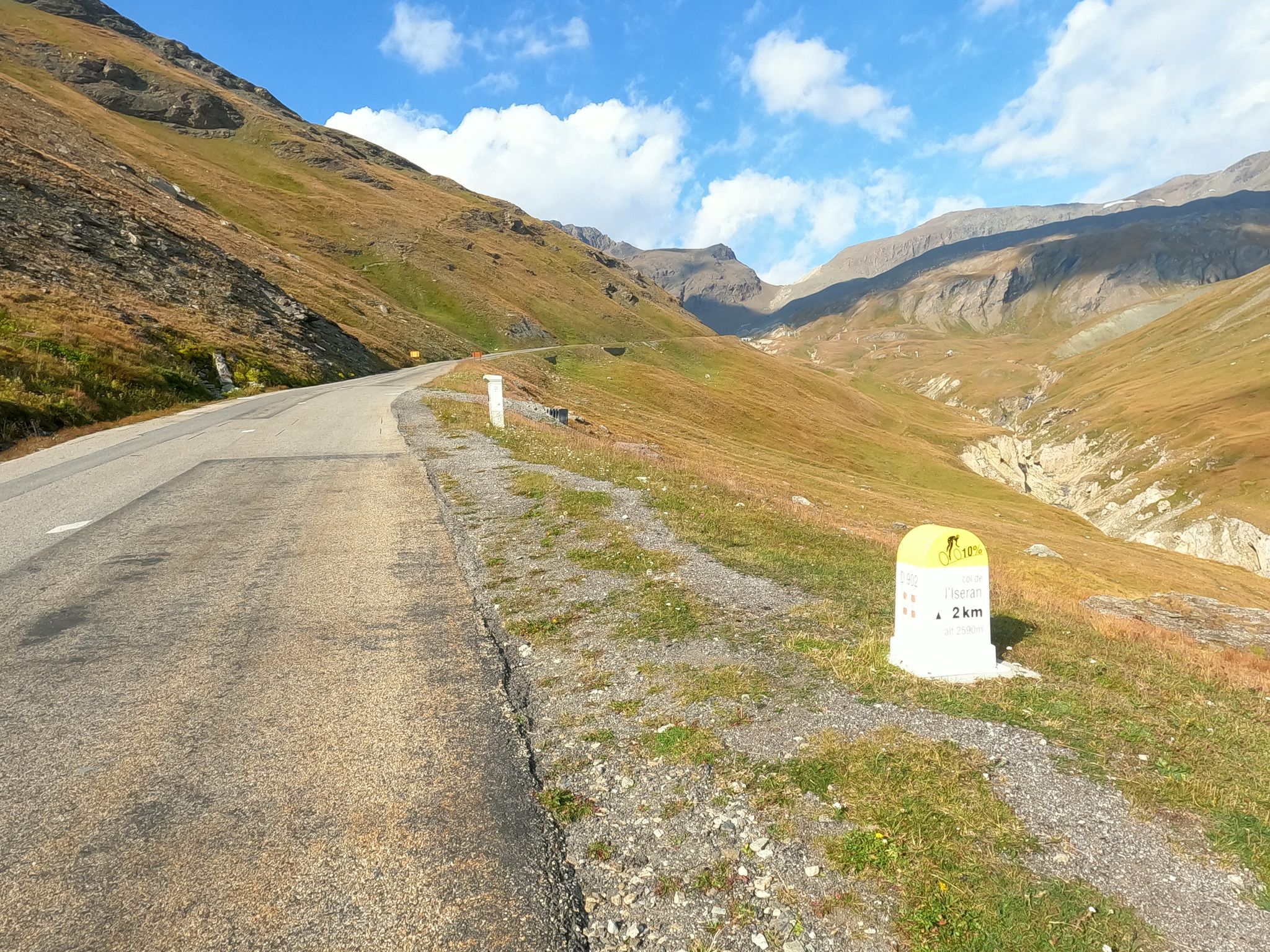
알프스로의 도주 - 키아푸치의 1992년 프랑스 순환 경주 업적

Cycling in Savoie Mont Blanc – discover routes between lakes and mountains
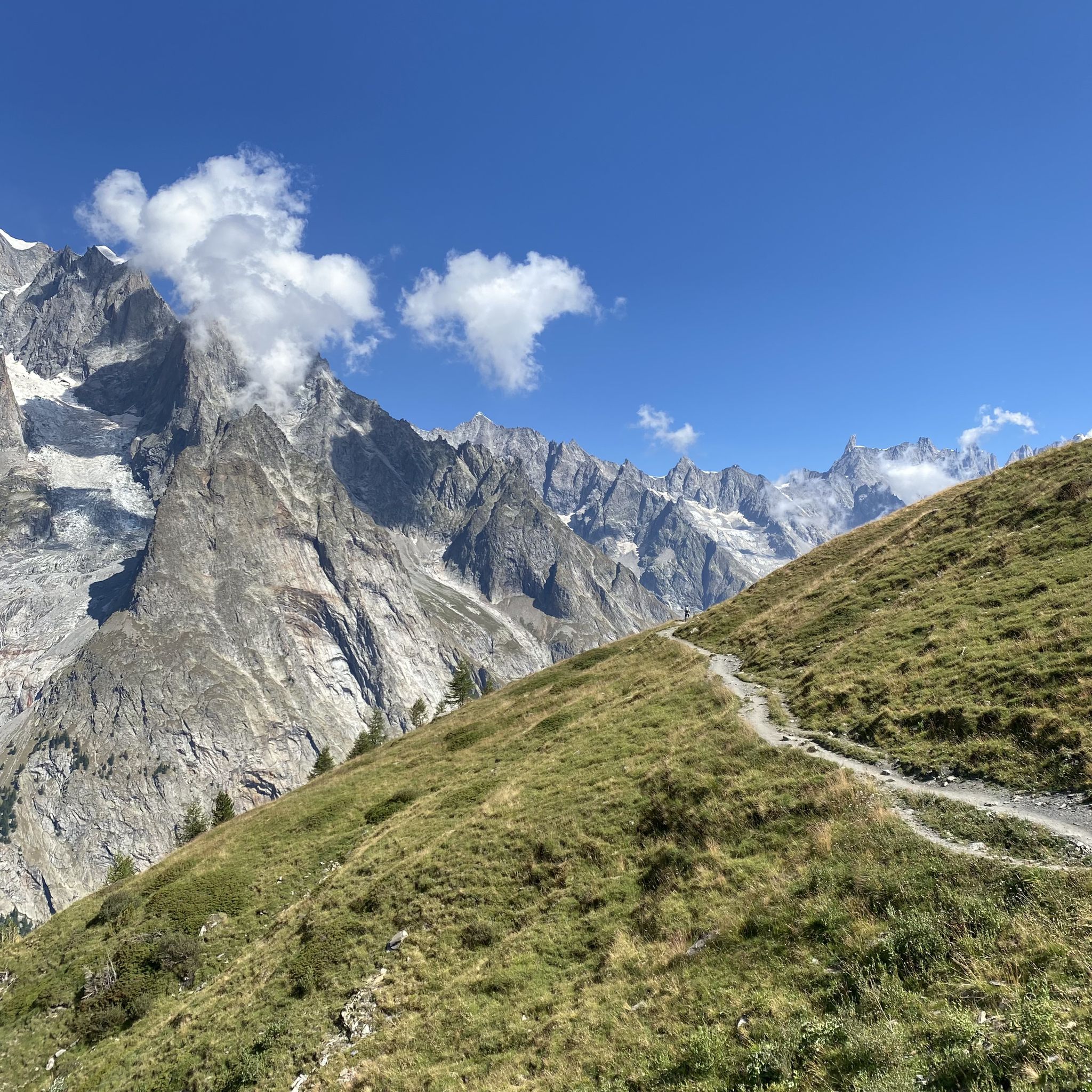
공이일 오르 인스타일 아니다 - Mont Blanc MTB Tour

프랑스 북부 알프스의 엑사트레크 - 사보이에서 바누아즈까지의 하이킹
부르 생 모리스 주변의 다른 모험


커뮤니티 팁

Fork: descent to Arêches via the Col du Pré, towards Beaufort with a better road for the descent, and towards the Cormet de Roselend to the east.
0
0

The Cormet de Roselend is a spectacular hill located in Savoie, France. The hill is located at an altitude of 1,968 meters and connects the municipalities of Beaufort and Bourg-Saint-Maurice. On the Beaufort side it is possible to admire a splendid lake created following the construction of a dam.
1
0

The Col de Tricot on the Tour du Mont Blanc (TMB) is a mountain pass that enchants with its alpine grandeur. As you ascend to the col, the landscape unfolds in a spectacle of pristine beauty. Towering peaks, snow-capped summits, and meadows adorned with wildflowers surround the trail. Reaching the Col de Tricot is a rewarding challenge, and as you stand at this high mountain pass, you're greeted by breathtaking panoramic views. The air is crisp, and the silence is profound, interrupted only by the occasional rustle of the wind. The col provides a perfect vantage point to appreciate the rugged beauty of the Mont Blanc Massif. Hikers often pause at the Col de Tricot, not only to catch their breath but to soak in the serene ambiance and to capture the majestic scenery in photographs.
0
0
"La Porte du Bonheur" on the Tour du Mont Blanc is a captivating name that translates to "The Door of Happiness." This enchanting spot along the trail is more than a geographical point; it's a symbolic threshold to the joy and beauty that the Mont Blanc region unfolds. As trekkers traverse the Tour du Mont Blanc, they encounter "La Porte du Bonheur," an arch or a scenic vantage point that frames the breathtaking landscapes.
0
1

Les Chapieux에서 밀어서 쉽게 도달할 수 있으며, 다른 쪽에서는 곡예와 등반만으로 가파른 자갈과 돌 그룹을 통과해야 하며, 때로는 위험합니다.
2
0
Rifugio Elisabetta에서 Courmayeur에서 힘들고 가파르지만 내 인생에서 가장 아름다운 패스 중 하나입니다. Les Chapieux로 내려가는 길은 막히지 않은 싱글 트레일을 통해 쉽게 갈 수 있습니다.
4
0


The Col du Bonhomme is located in the south-east of Haute-Savoie and entirely within the municipal territory of Contamines-Montjoie, the administrative limit with Beaufort passes on the side of the pass, about one kilometer further south than the line peak1. It constitutes a relatively easy natural passage between the Bonhomme rock and the Pennaz needles, thus making it possible to communicate the Montjoie valley to the north with the Beaufortain to the southwest1: the two sections of the old national road 202 interrupted between the Chapieux to the south and Notre-Dame-de-la-Gorge to the north were to be connected via the Col du Bonhomme before the project was abandoned. The Col du Bonhomme is known for its singular Sandstones, a predominantly siliciclastic sedimentary system discovered by de Saussure in 17792, and whose origin is enigmatic3.
1
0
부르 생 모리스 주변에서 가장 인기 있는 명소


더 살펴보기
이 가이드를 통해 더 많은 장대한 산악 통과를 확인해보세요 부르 생 모리스 주변:
