테네솔에서 가장 멋진 17개의 산길
테네솔에서 가장 멋진 산길을 아래에서 살펴보세요. 풍경을 감상하기에도 좋고, 오르막길/내리막길을 따라 걷기에도 좋은 곳이랍니다. 커뮤니티가 특별 도움을 통해 공유한 콘텐츠인 만큼 믿을 수 있는 정보이니 마음에 드는 산길이 있다면 바로 다음 모험 계획에 추가해서 바로 방문해보세요.
마지막 업데이트: 10월 13, 2026


이런 장소를 발견하려면 지금 가입하세요
최고의 싱글 트랙, 봉우리 및 다양한 흥미로운 야외 장소에 대한 추천을 받아보세요.
베송에서 출발하는 콜 드 라 포르클라즈 드 몽민 등반
하이라이트 (구간) • 등반
번역자 Google •
팁에 의해

우진에서 몽드수를 거쳐 아르페타 고개 오르기
하이라이트 (구간) • 산악 고개
번역자 Google •
팁에 의해

무료로 가입하여 테네솔 주변의 더 많은 산악 고개를 발견하세요.
이미 komoot 계정이 있나요?
오늘 무료 계정으로 시작하세요
다음 모험이 기다리고 있어요.
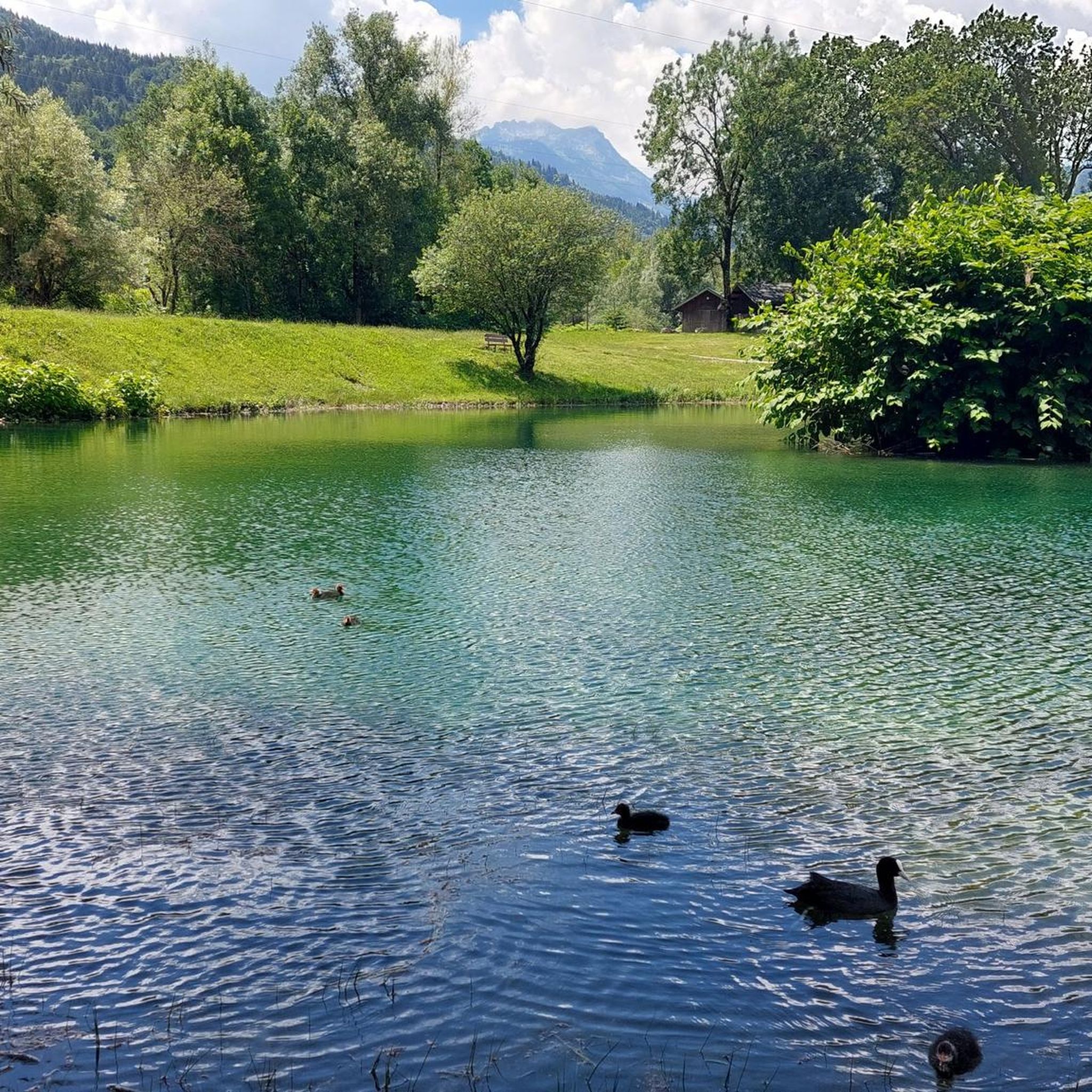
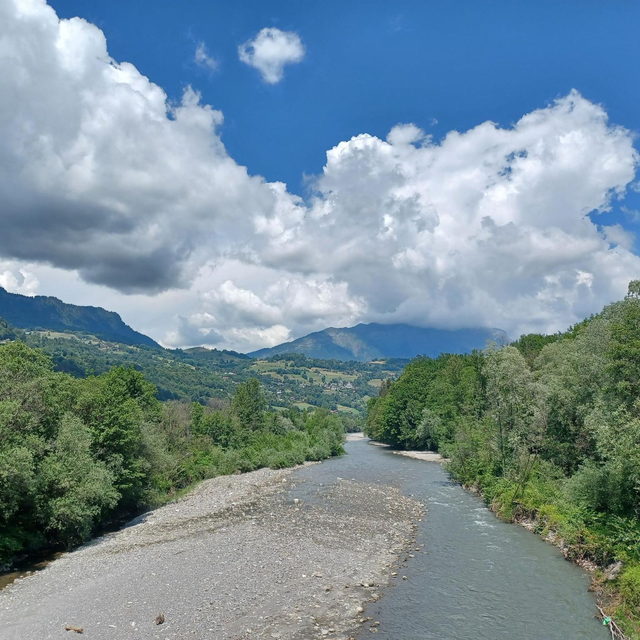
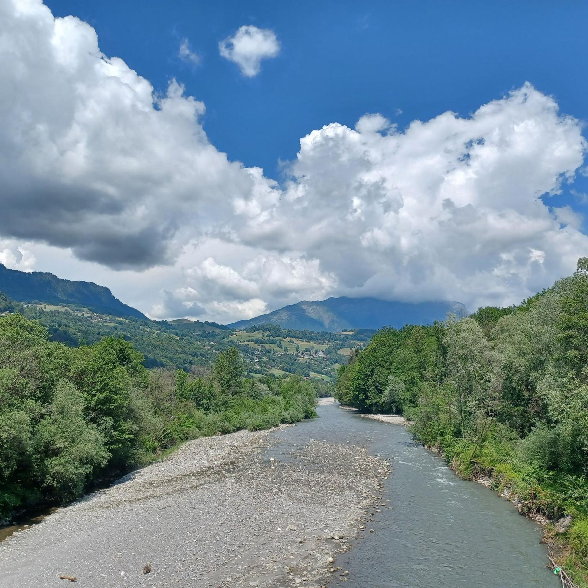
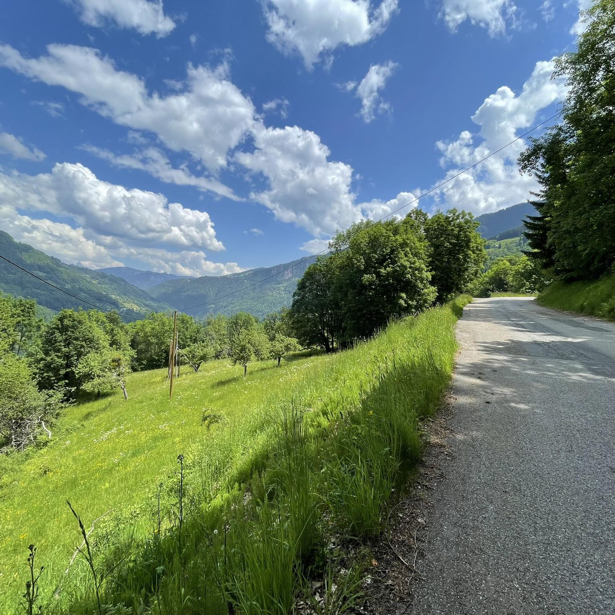


커뮤니티 팁

Faverges에서 출발하는 부드럽고 완만한 오르막입니다. 고개 정상에는 여러 가지 옵션이 있습니다. Abbaye Notre Dame에서 유명한 Tamié 치즈를 구입하거나, 즐거운 작은 길을 따라 Marthod를 거쳐 Ugine으로 가거나, Albertville 또는 Chambéry로 합류하세요.
0
0

아름다운 작은 고개, 작은 도로에 교통량이 적고 전망이 좋습니다. 고개에 멋진 레스토랑이 있습니다.
3
0

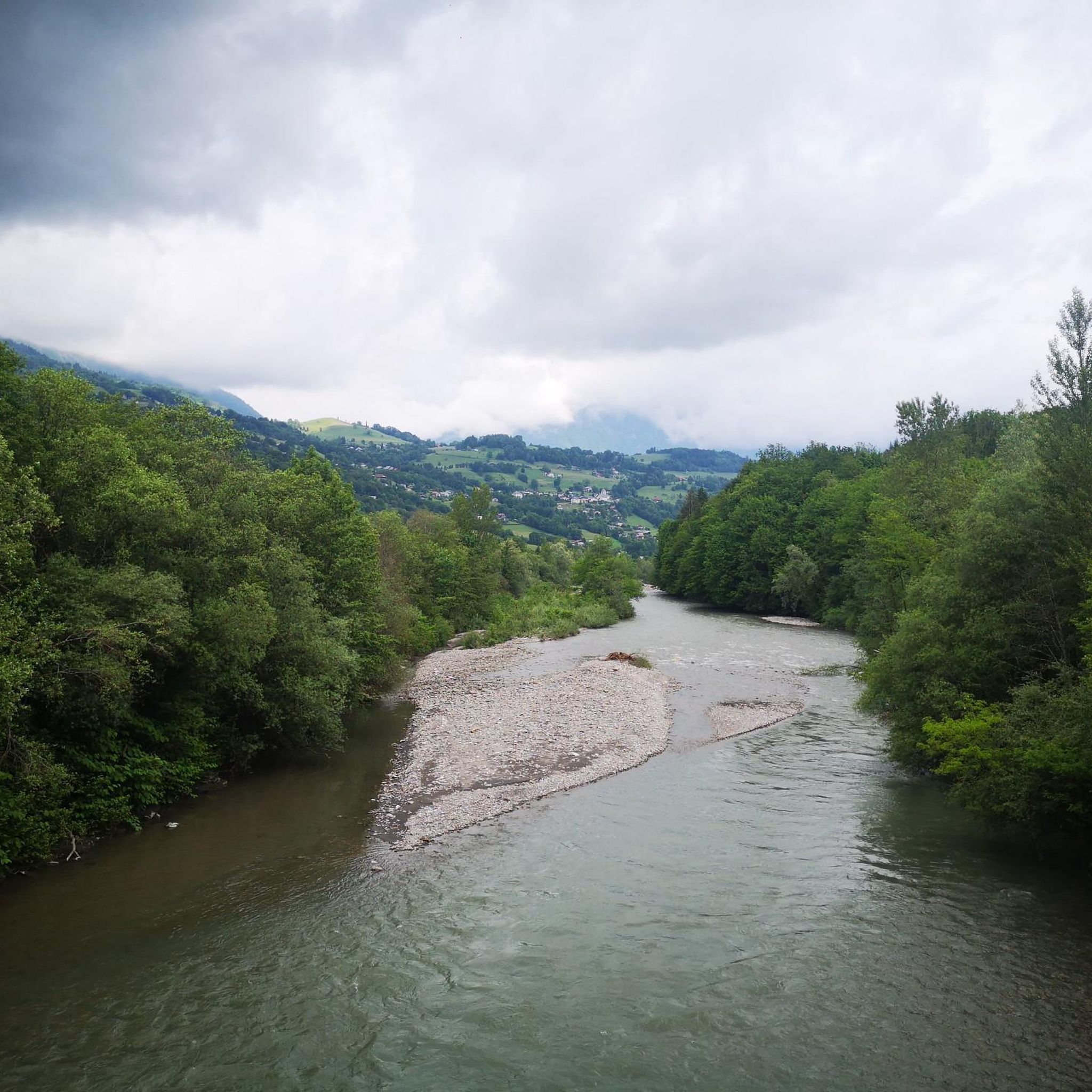
Here is the route for the ascent of the Col de la Forclaz starting from Vesonne
1
0

A very different route from the eastern slope: numerous hairpin bends, a steep road with poor tarmac, mostly in the forest. Perhaps more fun on the descent: a technical slalom that shakes up both bike and cyclist.
0
0

This 15.5-kilometer, 7.6% variation of the Col de l'Arpettaz is enhanced by the magnificent landscapes of the Aravis mountains. The climb is truly very pleasant.
0
0

A hill with a lot of traffic, better on roads that run parallel.
0
0

This mid-mountain pass is located at an altitude of 947 meters in the Aravis massif. Its ascent from Marlens involves fairly steep gradients, while its approach from Serraval is more gentle.
6
1
테네솔 주변에서 가장 인기 있는 명소


더 살펴보기
이 가이드를 통해 더 많은 장대한 산악 통과를 확인해보세요 테네솔 주변:
