20의 타바코가지 명소 & 주요 장소
타바코에는 둘러볼 만한 장소가 많답니다. 하이킹 또는 사이클링을 좋아한다면 타바코에 숨겨진 20
가지 보석을 만날 수 있을 거예요. 이 지역의 주요 명소를 살펴보면서 다음 모험을 계획해보세요.
마지막 업데이트: 8월 26, 2026
Pont de Baccu di a Sarra
하이라이트 • 다리
The length of its course is 40.9 km. The Liamone takes its source on the western slope of Monte Cimatella (2,099 meters high), in …
번역자 Google •
팁에 의해

쿠툴리와 쿠르티차투
하이라이트 • 기타
번역자 Google •
팁에 의해

이런 장소를 발견하려면 지금 가입하세요
최고의 싱글 트랙, 봉우리 및 다양한 흥미로운 야외 장소에 대한 추천을 받아보세요.
무료 회원 가입


오늘 무료 계정으로 시작하세요
다음 모험이 기다리고 있어요.
로그인 또는 가입하기


커뮤니티 팁

A beautiful hike, very challenging due to its elevation gain and length. Bring a GPS + IGN map with compass, and about 3 liters of water. Hike completed in September 2025, measurements taken with a GPS and Garmin watch: distance 22 km, duration 5h08, elevation gain +720m, elevation gain -720m. This hike is recommended for very experienced and well-equipped hikers.
0
0

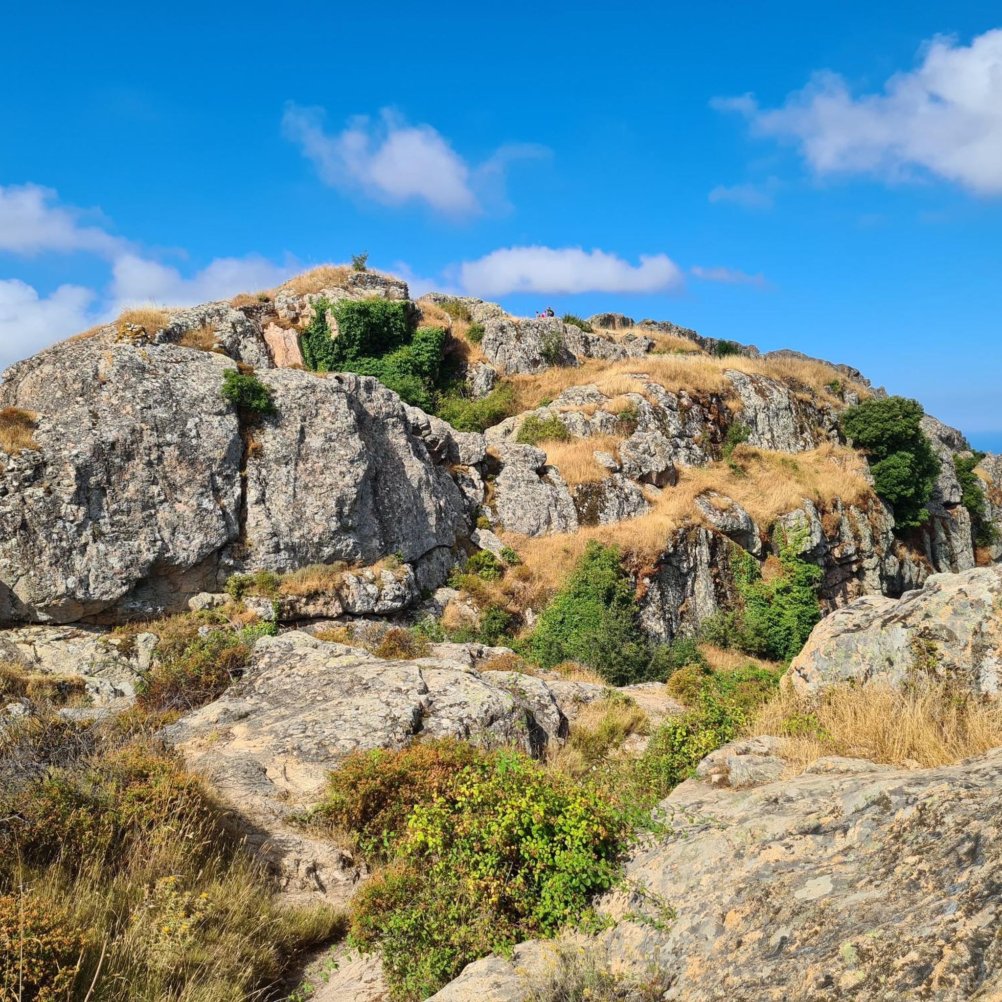
Morella Footprints 2 hours San Petru Mouth 1 hour and 30 minutes Mount Ignacu 15 minutes
0
0
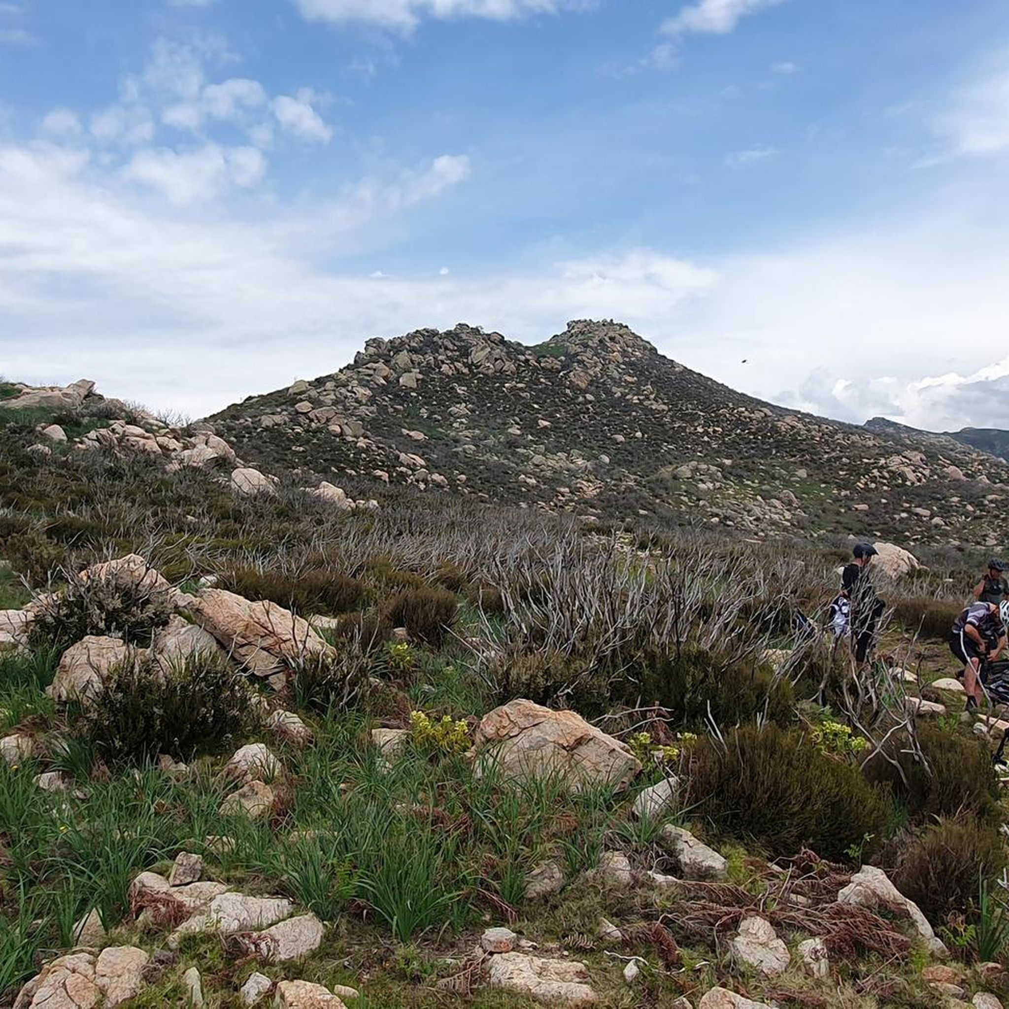
This hike is magnificent but you have to take it in the right direction. Very steep start then a quiet stroll
0
0


Beautiful hike carried out in February with a drone: https://youtu.be/o78fNnX0V8Q?si=JtcO7-R4QHpMcndq
1
1

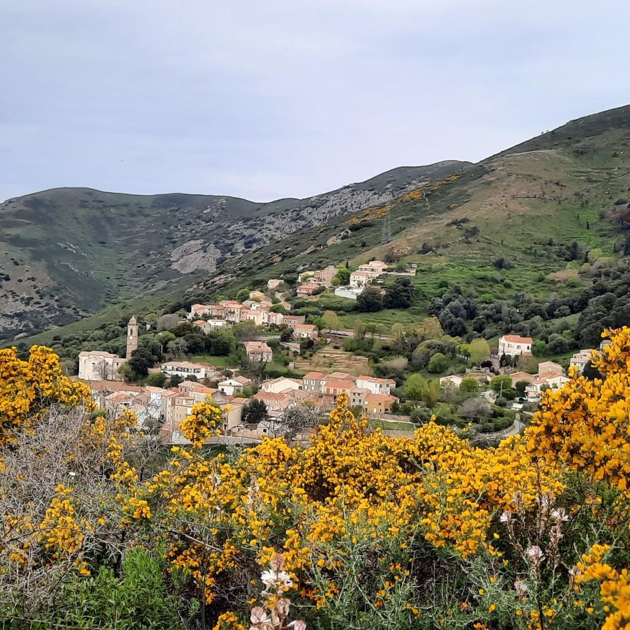
Nice family tour. Nice mountain. View from our holiday apartment.
0
0

The Truggia bridge crosses the Liamone. The length of its course is 40.9 km. The Liamone takes its source on the western slope of Monte Cimatella (2,099 meters high), in the territory of the municipality of Letia, at an altitude of 1,850 meters. In its upper course, it forms the Piscia a l'onda waterfall between the altitude of 546 meters and the altitude of 514 meters. After an impetuous course of nearly 41 kilometers, it empties into the Gulf of Sagone north of Ajaccio, between the two municipalities of Coggia and Casaglione. The Liamone river does not flow directly into the sea, the beach of Liamone separates it from it. The neighboring coastal rivers are to the north the Porto, to the south the Prunelli.
6
0

타바코 주변에서 가장 인기 있는 명소


더 살펴보기
찾고 있는 하이라이트를 아직 못 찾으셨나요? 다른 지역의 주요 명소 가이드를 확인해보세요:
