플로하 최고의 워킹 & 하이킹 경로
4.5
(638)
4,007
등산객
86
하이킹
정확한 경로를 찾는 것이 때로는 어렵지만 플로하에서 하이킹을 하면 다양한 경치를 마음껏 감상할 수 있답니다. 플로하에서 가장 멋진 하이킹과 워킹 중에서 마음에 드는 활동을 시작해보세요.
마지막 업데이트: 10월 10, 2026
4.8
(50)
265
등산객
17.1km
04:41
270m
270m
Hike the Cliffs of Plouha loop, a moderate 10.6-mile (17.1 km) trail with stunning coastal views and historical sites.
4.5
(36)
228
등산객
13.7km
03:40
150m
150m
보통 하이킹. 좋은 체력 필요. 실력과 관계없이 누구나 쉽게 갈 수 있는 길.

4.9
(14)
138
등산객
25.8km
07:13
510m
510m
어려운 하이킹. 우수한 체력 필요. 실력과 관계없이 누구나 쉽게 갈 수 있는 길.
4.6
(25)
151
등산객
14.0km
03:58
310m
310m
보통 하이킹. 좋은 체력 필요. 실력과 관계없이 누구나 쉽게 갈 수 있는 길.
4.6
(25)
134
등산객
10.6km
03:02
250m
250m
보통 하이킹. 좋은 체력 필요. 실력과 관계없이 누구나 쉽게 갈 수 있는 길.
더 다양한 경로와 다른 탐험가들의 추천을 살펴보세요.
이미 komoot 계정이 있나요?
투어 추천은 다른 사람들이 komoot에서 완료한 수천 개의 활동을 바탕으로 구성되어 있습니다.
오늘 무료 계정으로 시작하세요
다음 모험이 기다리고 있어요.


커뮤니티 팁


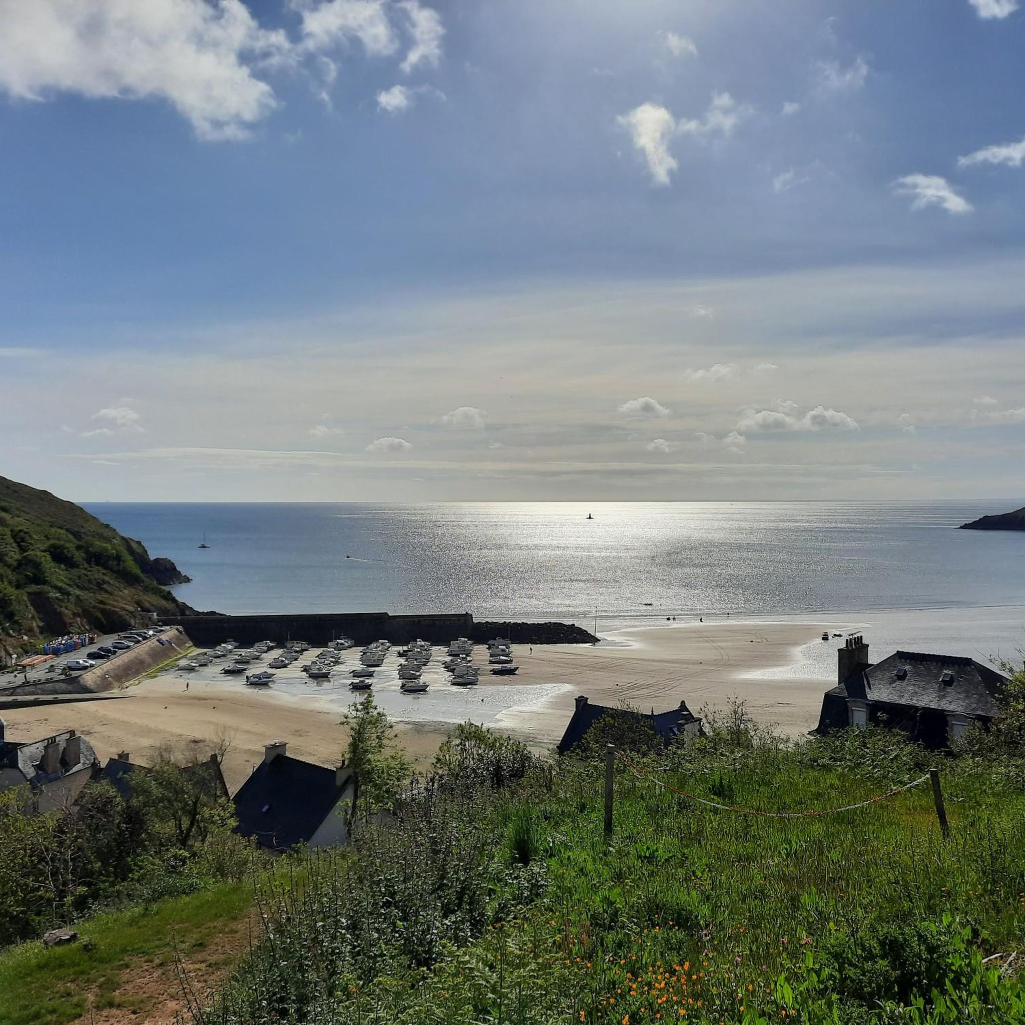
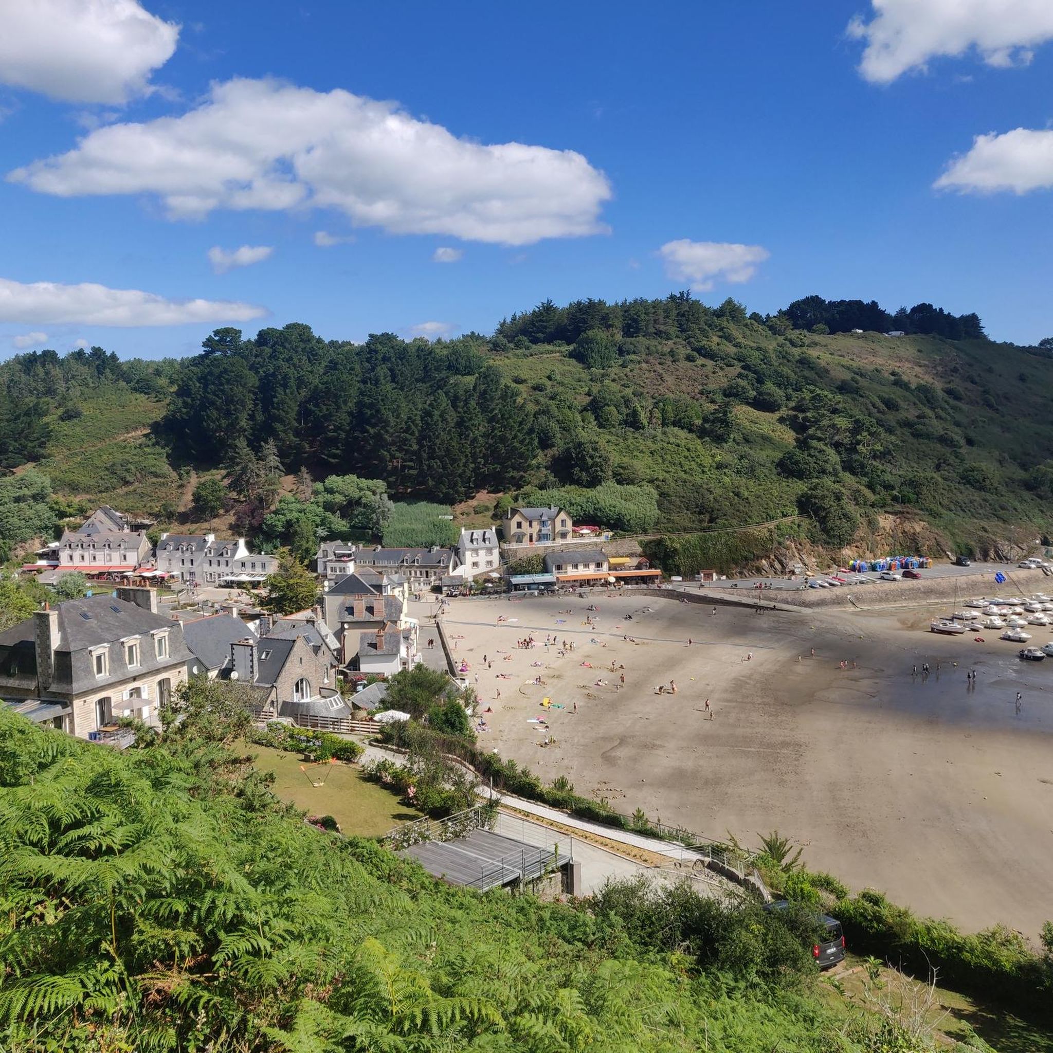
특이하네요, 왜 그런가요? 그 이유는 브르타뉴 북부 해안의 매우 강한 조수 간만의 차 때문입니다. 썰물 때 물이 너무 많이 빠져서 작은 항구가 부분적으로 또는 거의 완전히 마릅니다. 그러면 바다 밑바닥, 바위, 항구 시설이 물 없이 보입니다. 밀물 때가 되어서야 수역이 다시 채워집니다. 게다가 포트 모게르는 고전적인 무역항이 아니라 좁은 바위틈에 자리 잡은 매우 작은 연안 및 어업항입니다.
0
0
In this case, you'd first drive there, then return via the GR34, which offers great views, and then cycle back to the car. This is at least convenient for the climb from the parking lot.
0
0


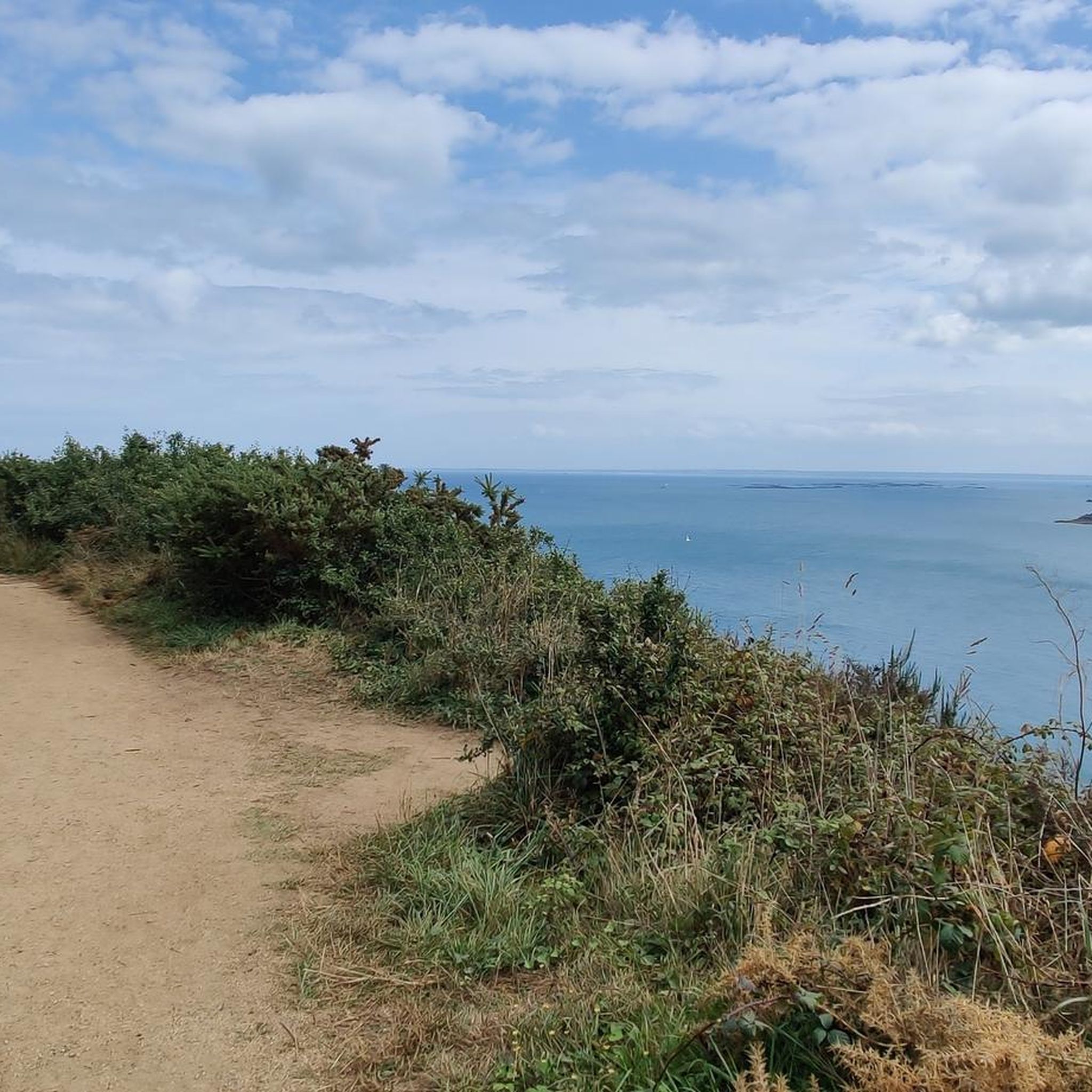
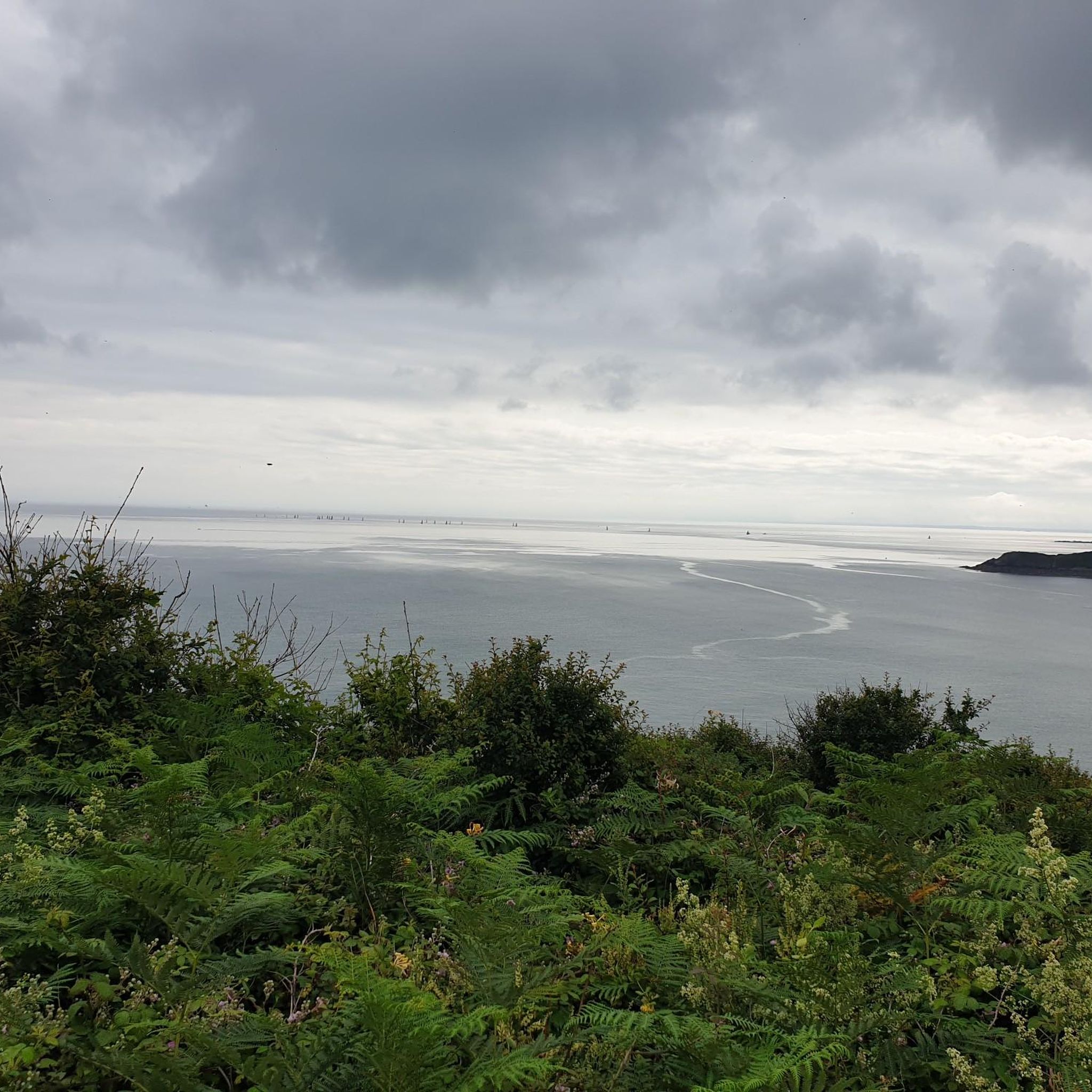
The view of the coast from the tip of Bec de Vir is breathtaking! The access path runs alongside cultivated plots before overlooking the birth of the high cliffs of Plouha and the large beach of Palus to the north. Further south, the rocks of the St-Quay islands and the rocky plateau of Rohein are easily visible at low tide. You can also see the semaphore of Saint-Quay-Portrieux. This sentinel has been watching over maritime traffic in the bay since 1860. Photo credit: Emmanuel Berthier
0
0
"Gored" comes from a Breton word meaning fishery with a dam. The right to goretterie was granted to the lords of Goelo by the monks of the abbey of Beauport in port Goret (a method of catching fish stuck at low tide). The remains of the dam are still visible. Photo credit: Emmanuel Berthier
0
0
A raised dike, dating from the end of the 19th century, was built between the isolated rock of Châtelet and the rocky coast, in order to protect the cove from the winds and the westerly swell. A local road served the port in 1882 for the transport of marine amendments. The port housed about fifteen small sand and fishing boats at the end of the 19th century and only 5 canoes. Photo credit: Emmanuel Berthier
0
0
플로하 주변에서 가장 인기 있는 명소


더 살펴보기
다른 지역의 최고의 하이킹를 살펴보세요.
