바덴도르프 최고의 워킹 & 하이킹 경로
4.5
(5183)
26,722
등산객
934
하이킹
정확한 경로를 찾는 것이 때로는 어렵지만 바덴도르프에서 하이킹을 하면 다양한 경치를 마음껏 감상할 수 있답니다. 바덴도르프에서 가장 멋진 하이킹과 워킹 중에서 마음에 드는 활동을 시작해보세요.
마지막 업데이트: 10월 11, 2026
4.3
(4)
7
등산객
10.6km
02:41
20m
20m
보통 하이킹. 좋은 체력 필요. 실력과 관계없이 누구나 쉽게 갈 수 있는 길.
5.0
(2)
15
등산객
9.79km
02:30
30m
30m
보통 하이킹. 좋은 체력 필요. 실력과 관계없이 누구나 쉽게 갈 수 있는 길.

4.8
(4)
7
등산객
21.4km
05:33
130m
130m
어려운 하이킹. 우수한 체력 필요. 실력과 관계없이 누구나 쉽게 갈 수 있는 길.
5.0
(4)
6
등산객
3.62km
00:56
10m
10m
초급용 하이킹. 모든 체력 수준에 적합. 실력과 관계없이 누구나 쉽게 갈 수 있는 길.
5.0
(4)
6
등산객
3.41km
00:52
10m
10m
초급용 하이킹. 모든 체력 수준에 적합. 실력과 관계없이 누구나 쉽게 갈 수 있는 길.
더 다양한 경로와 다른 탐험가들의 추천을 살펴보세요.
이미 komoot 계정이 있나요?
투어 추천은 다른 사람들이 komoot에서 완료한 수천 개의 활동을 바탕으로 구성되어 있습니다.
오늘 무료 계정으로 시작하세요
다음 모험이 기다리고 있어요.
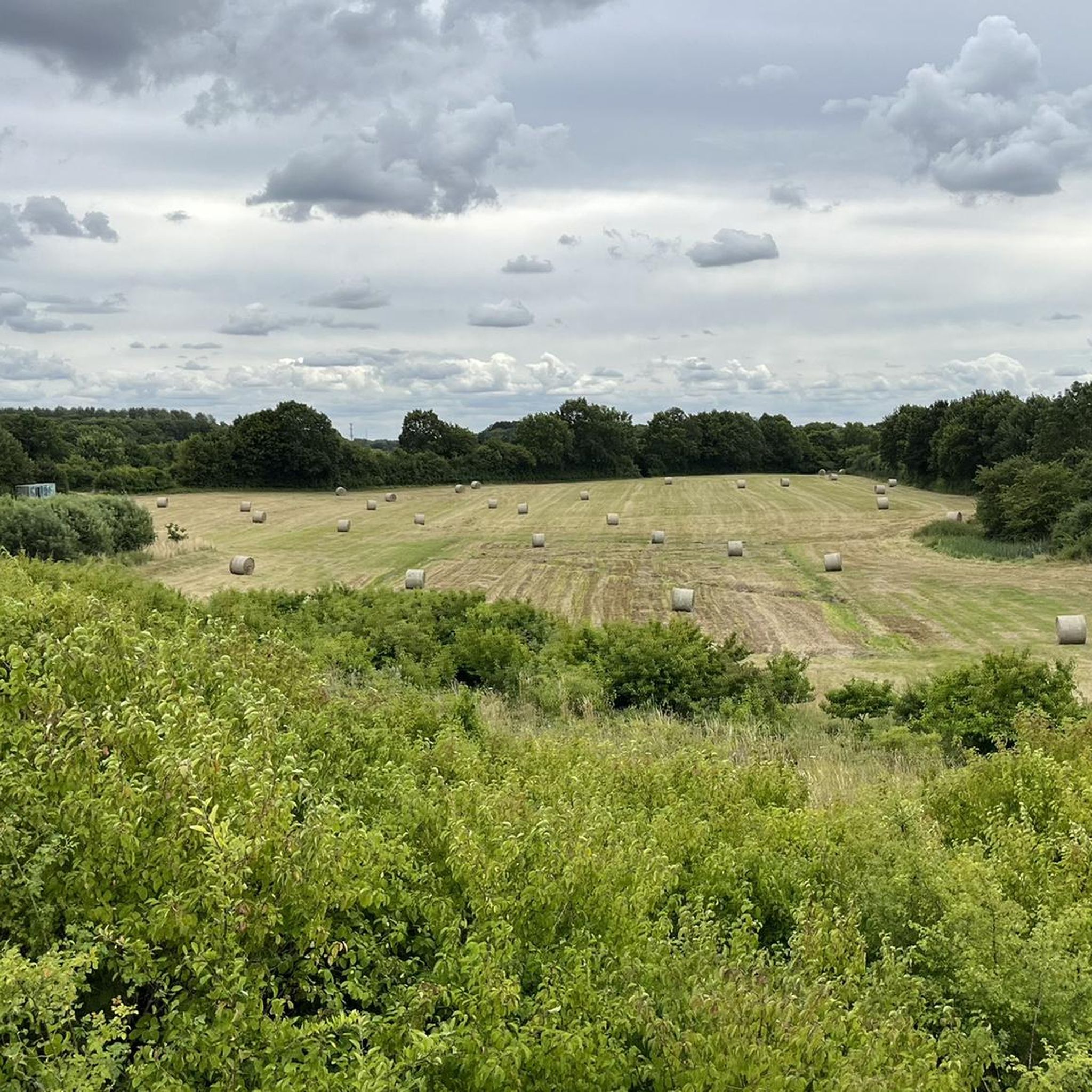
커뮤니티 팁

2025/26년 Reinfelds 숲의 산림 당국이 제대로 일을 해냈고, 소 목초지를 통과하는 숲길도 예외는 아니었습니다. 북동쪽 구간은 한때 좁은 오솔길이었지만, 이제는 다른 많은 숲길처럼 넓은 산림 도로가 되었고 예전의 매력을 거의 잃었습니다. Knick와 Ackerrain 사이의 Manhagen 구간은 완전히 개간되었습니다.
0
0

There is a shelter here that invites you to linger.
3
0
From the shelter you have a beautiful view of the Herrenteich.
0
0
The Herrenteich Pond is located in the heart of the carp town of Reinfeld. It was artificially created in the 12th century by Cistercian monks as a reservoir for the Heilsau River for fish farming. Carp are still bred here today. A four-kilometer circular trail around the Lower Herrenteich invites you to discover this special ecosystem. 16 stations along the adventure trail offer fun and a nature experience in one, sharpening your awareness of the special features of this natural area. In summer, you can enjoy the cool water at the lido. See: https://tourismus-stormarn.de/de/naturerlebnis/herrenteich-reinfeld-5
2
0
The Herrenteich in Reinfeld is a popular tourist destination. The approximately 55-hectare body of water is divided into the upper and lower Herrenteich. The upper Herrenteich remains a recognized nature reserve. The lower Herrenteich is home to, among other things, a hiking trail and an outdoor pool in the summer. Due to melting snow, the Herrenteich flooded in early March 2010. A temporary dam erected at the time due to construction work threatened to no longer hold the water masses. A breach of the dam would have flooded the entire hinterland. The Hamburg/Lübeck railway embankment would also have been affected. See: https://www.thw-badoldesloe.de/aktuelles/aktuelle-meldungen/artikel/vor-10-jahren-hochwassereinsatz-am-herrenteich-fachgruppen-wasserschadenpumpen-verhindern-stauwe
2
1
Consecrated on July 2, 1636. It was built as an emergency church and later expanded to include the Herrenstuhl (1737) and the sacristy (1962). The church was named in 1940 to commemorate the 200th birthday of the poet Matthias Claudius, who was born in Reinfeld and baptized in this church. His father, Matthias Claudius Sr., was a pastor in Reinfeld from 1730 to 1773. See: https://www.kirche-nordstormarn.de/#kirchereinfeld
3
0
The Herrenteich Pond is located in the heart of the carp town of Reinfeld. It was artificially created in the 12th century by Cistercian monks as a reservoir for the Heilsau River for fish farming. Carp are still bred here today. A four-kilometer circular trail around the Lower Herrenteich invites you to discover this special ecosystem. 16 stations along the adventure trail offer fun and a nature experience in one, sharpening your awareness of the special features of this natural area. See: https://tourismus-stormarn.de/de/naturerlebnis/herrenteich-reinfeld-5
3
0
Located in the heart of the town of Reinfeld, the Neuhof Pond covers approximately 2.5 hectares and boasts a good population of carp, bream, tench, and various whitefish species, as well as predatory fish such as eels, perch, pike, and zander. See: https://www.oldesloer-anglerverein.com/gewaesser/neuhoefer-teich/
3
0
바덴도르프 주변에서 가장 인기 있는 명소


더 살펴보기
다른 지역의 최고의 하이킹를 살펴보세요.
