20의 롤리프가지 명소 & 주요 장소
롤리프에는 둘러볼 만한 장소가 많답니다. 하이킹 또는 사이클링을 좋아한다면 롤리프에 숨겨진 20
가지 보석을 만날 수 있을 거예요. 이 지역의 주요 명소를 살펴보면서 다음 모험을 계획해보세요.
마지막 업데이트: 10월 9, 2026

르 그루앵 뒤 쉬드
하이라이트 • 전망대
번역자 Google •
팁에 의해

이런 장소를 발견하려면 지금 가입하세요
최고의 싱글 트랙, 봉우리 및 다양한 흥미로운 야외 장소에 대한 추천을 받아보세요.

도아니에르 산책로 – 뤼드 계곡과 카롤 해변에서 생장르토마까지
하이라이트 (구간) • 트레일
번역문 보기
팁에 의해


오늘 무료 계정으로 시작하세요
다음 모험이 기다리고 있어요.

커뮤니티 팁

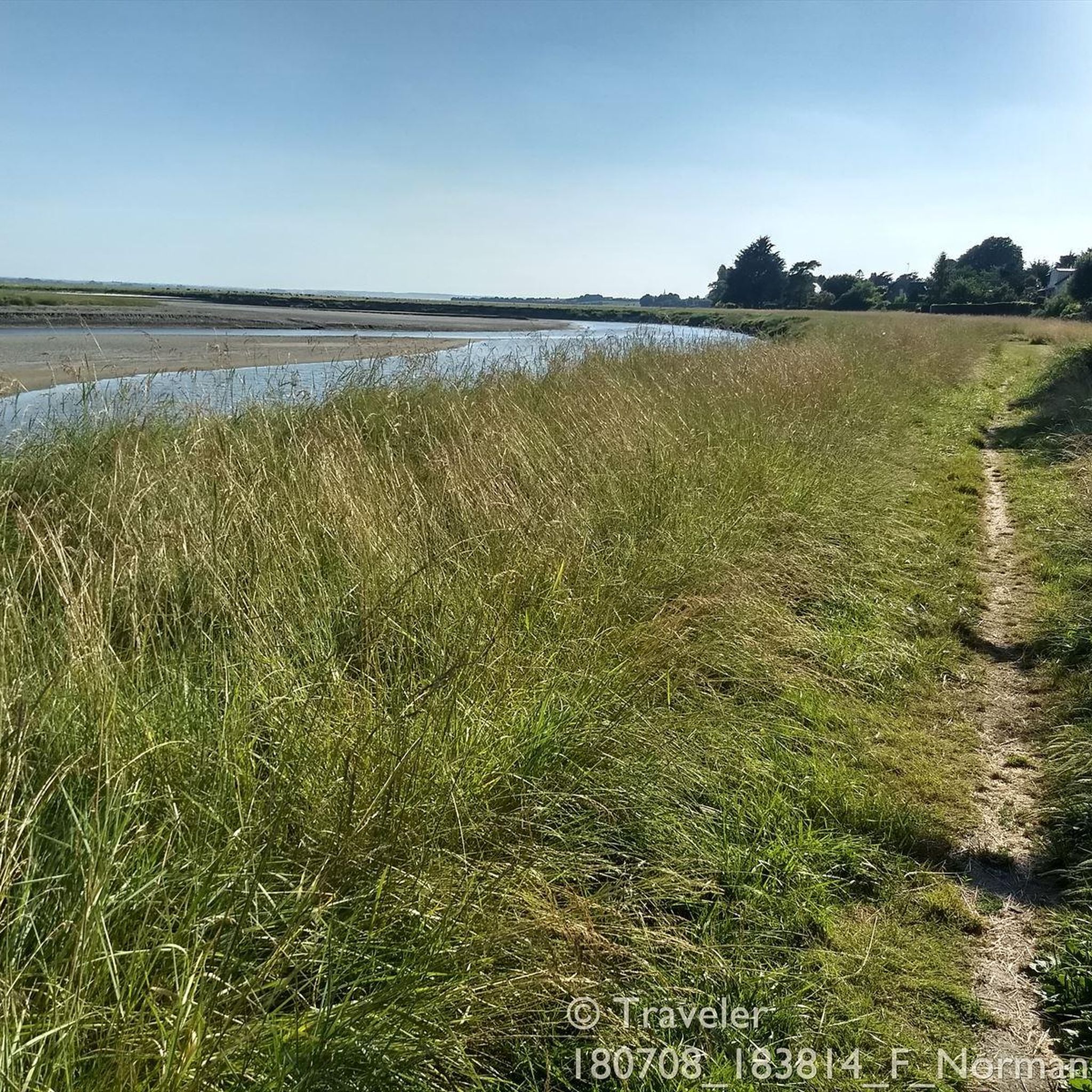
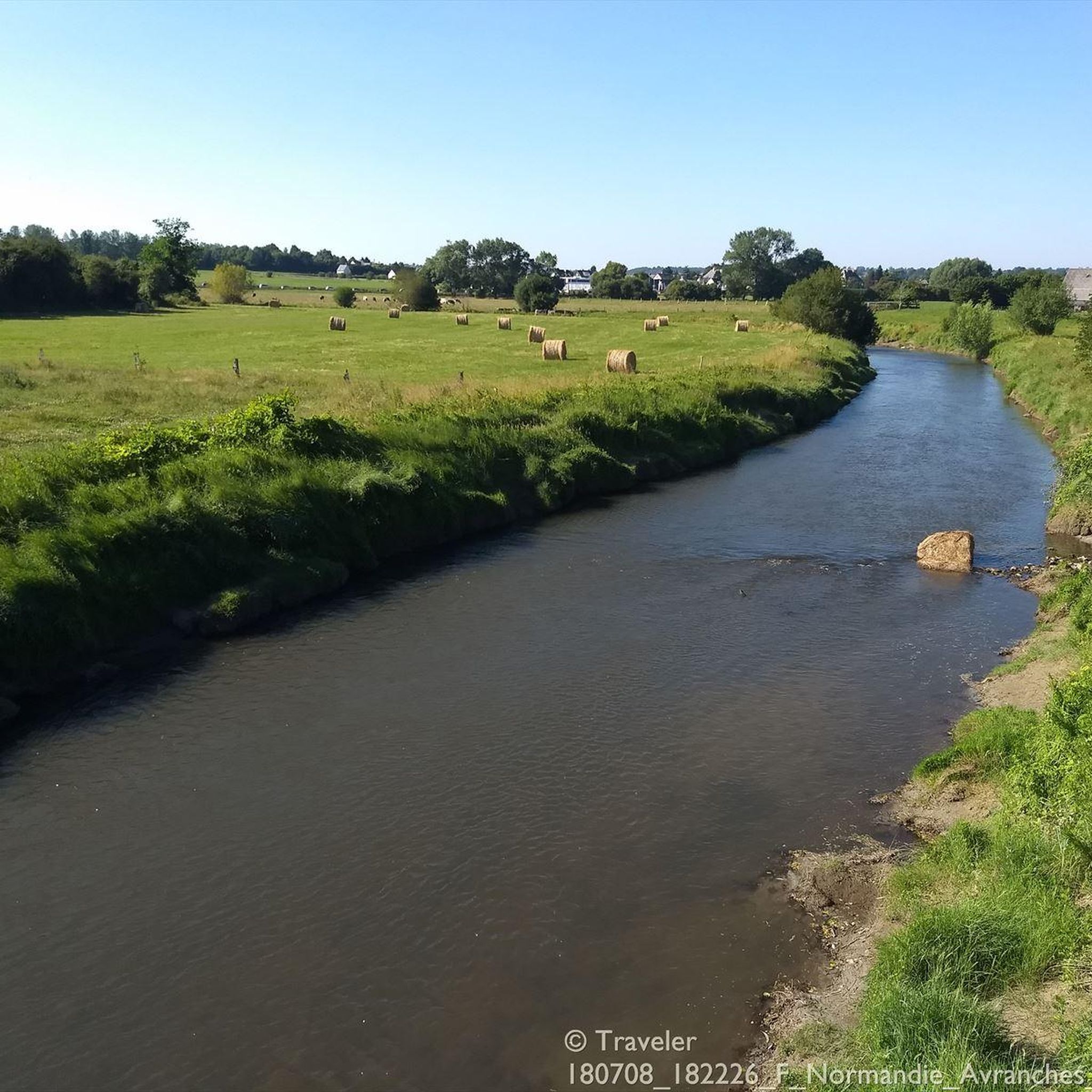
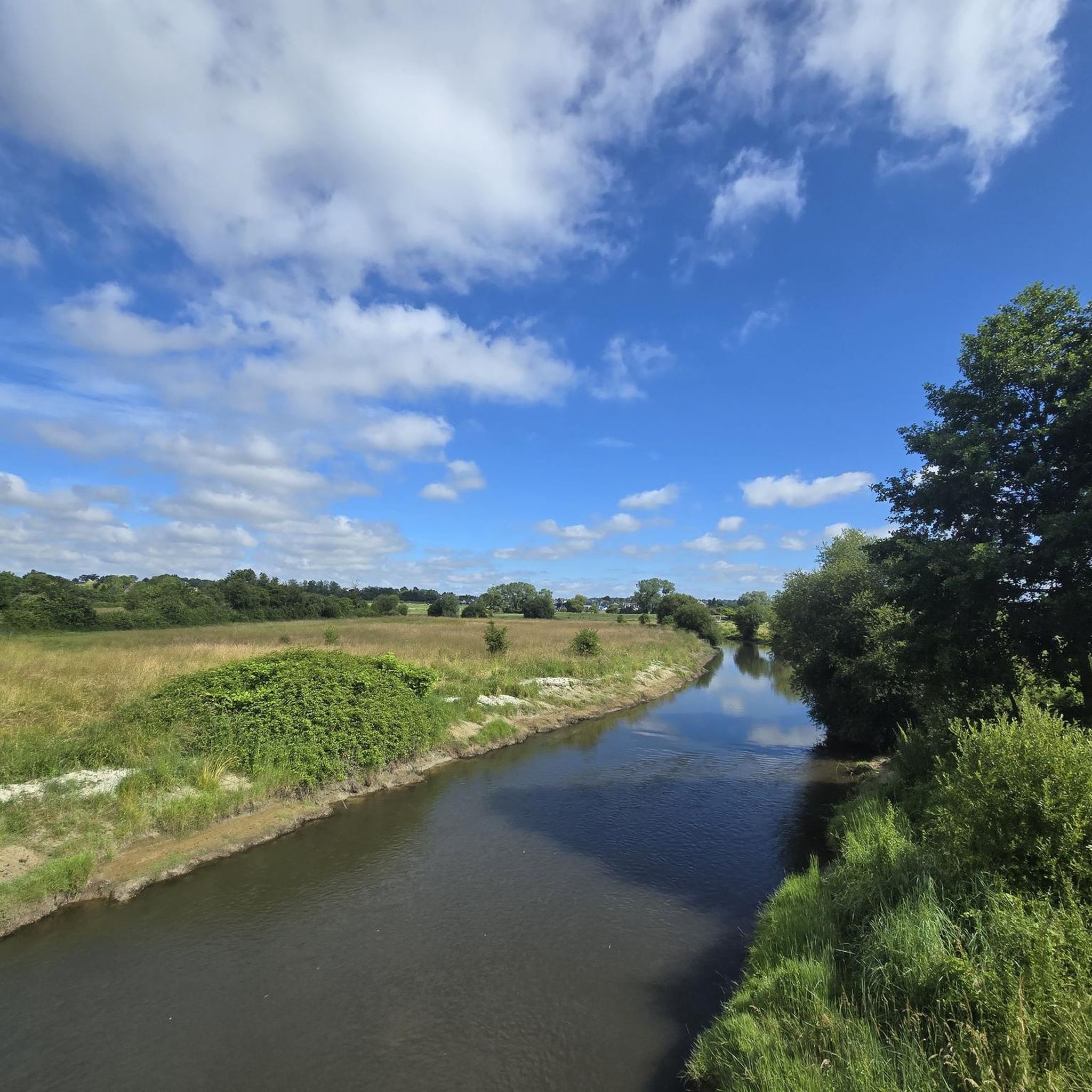
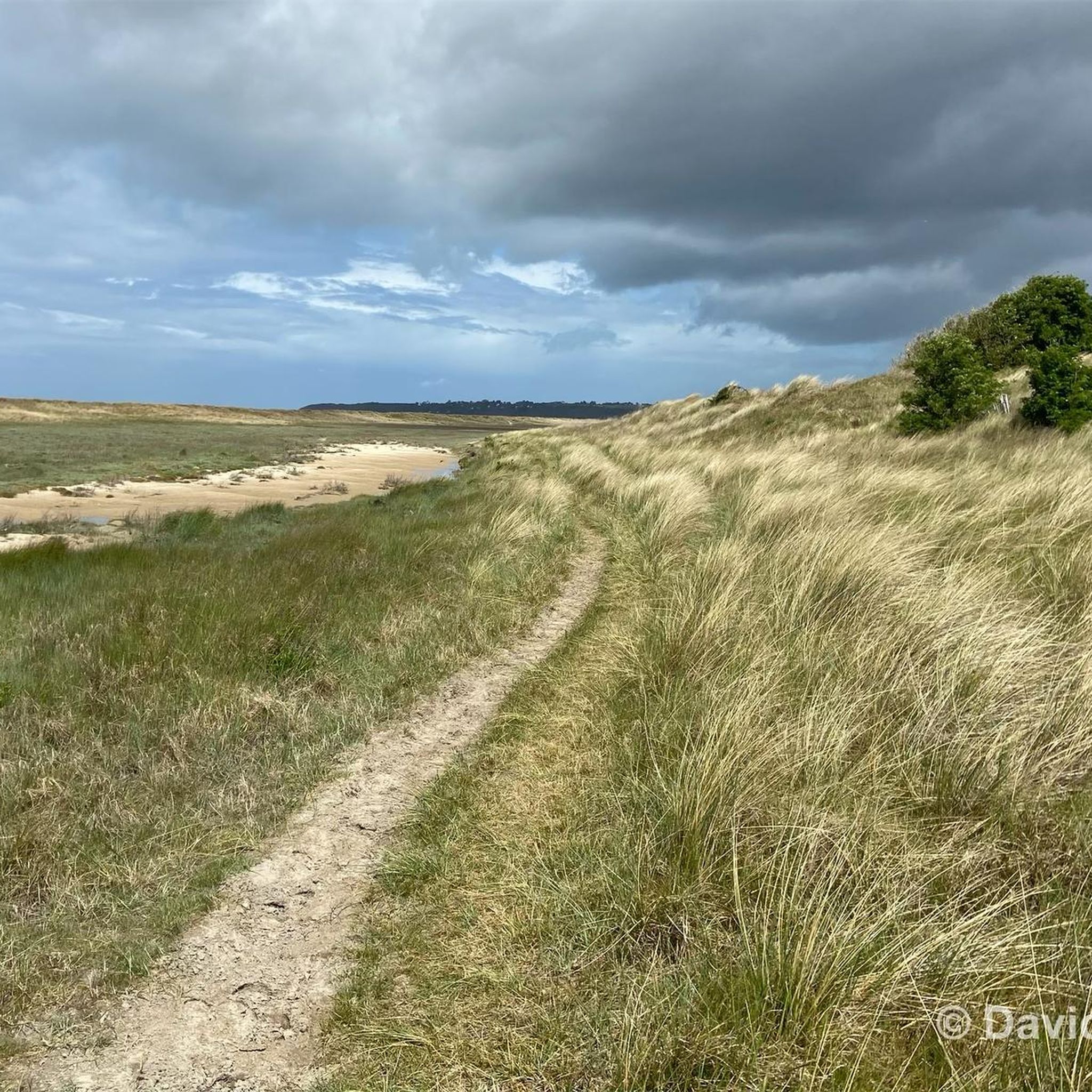
Il Sentiero dei Doganieri는 Carolles, Vallée du Lude, Saint-Jean-le-Thomas(노르망디, Manche 지역)를 잇는 약 6-6.3km의 해안 및 자연 코스로, 소요 시간은 약 1시간 40분입니다.
0
0


The documentary film "Border Paths – The Customs Officers' Trail" is described on its website as follows: "The historic Customs Officers' Trail begins at the famous pilgrimage site of Mont Saint-Michel and is now one of France's most popular hiking trails. Along its 1,700 kilometers, between Mont Saint-Michel in the north and Saint-Nazaire in the south of the Breton peninsula, hikers can discover impressive landscapes with a rich diversity of flora and fauna. Passing rugged cliffs, expansive dunes, and seemingly endless beaches, hikers become border crossers on a floating border that shifts with the rhythm of the tides." ``` The video about the "Sentier des Douaniers" (duration: 43 minutes / language: German) in the ARD media library can be accessed via the following link =>> https://www.ardmediathek.de/video/grenzwege-der-zoellnerpfad/grenzwege-der-zoellnerpfad/mdr/Y3JpZDovL21kci5kZS9zZW5kdW5nLzI4MjA0MC81MjE2OTktNTAxNzM2
2
0

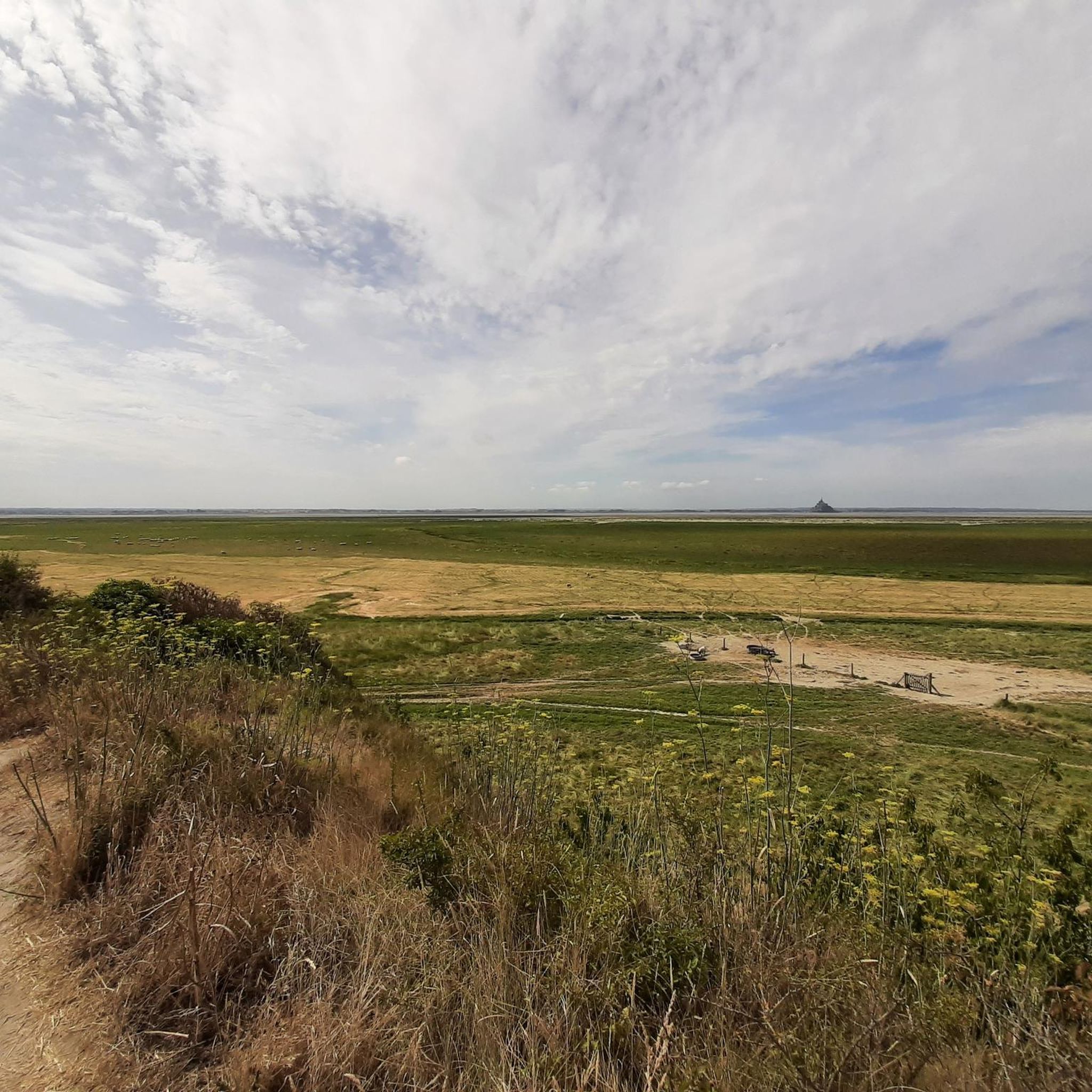
Carolles와 Saint-Jean-le-Thomas 사이에는 해변, 절벽 해안, 그림 같은 Lude 계곡이 번갈아 나타납니다. 계곡에서는 Rocher du Sard와 역사적인 Cabane Vauban에서 Mont-Saint-Michel 만의 멋진 전망을 감상할 수 있습니다. 이 구간의 일부는 과거 초소와 세관원이 해안을 감시했던 역사적인 세관원 길을 따라 이어집니다. 썰물 때의 평평한 모래 해변과 갯벌은 산책을 즐겁게 하며, GR 223은 역사와 해안 파노라마를 매력적인 하이킹으로 연결합니다.
30
0
The Grouin du Sud is a natural headland offering impressive views of the bay and the famous Klosterberg. Depending on the tide, the landscape alternates between vast mudflats and ocean views, making the place particularly charming.
1
0
La Roche Torin is a prominent vantage point in the Bay of Mont Saint-Michel. This spot offers a unique view of the bay and is a popular destination for hikers and photographers, especially during strong tides (coefficient over 100). The tidal coefficient is the most important indicator for assessing the dynamics of the bay. A coefficient over 100 indicates spectacular tide conditions and a natural spectacle. Here in the Bay of Mont Saint-Michel, the highest tides in Europe occur, with a tidal range of up to 15 meters between high and low tide. Tidal range Mont Saint-Michel: https://tides4fishing.com/fr/basse-normandie/le-mont-saint-michel#_tidal_coefficient
1
0

Beautiful view of the Klosterberg and an easy path to ride.
0
0

A bridge with a long history! Even the Romans passed along here! And at the end of World War II, American troops passed through here to liberate France. Today, people make pilgrimages past the bridge on their way to Mont St. Michel.
1
0
롤리프 주변에서 가장 인기 있는 명소


더 살펴보기
찾고 있는 하이라이트를 아직 못 찾으셨나요? 다른 지역의 주요 명소 가이드를 확인해보세요:
