페오네에서 가장 멋진 13개의 산길
페오네에서 가장 멋진 산길을 아래에서 살펴보세요. 풍경을 감상하기에도 좋고, 오르막길/내리막길을 따라 걷기에도 좋은 곳이랍니다. 커뮤니티가 특별 도움을 통해 공유한 콘텐츠인 만큼 믿을 수 있는 정보이니 마음에 드는 산길이 있다면 바로 다음 모험 계획에 추가해서 바로 방문해보세요.
마지막 업데이트: 9월 2, 2026

이졸라에서 이졸라 2000을 경유해 콜 드 라 롬바르드 오르막길
하이라이트 (구간) • 산악 고개
번역자 Google •
팁에 의해

이런 장소를 발견하려면 지금 가입하세요
최고의 싱글 트랙, 봉우리 및 다양한 흥미로운 야외 장소에 대한 추천을 받아보세요.
생테티엔 드 티네에서 출발하는 콜 드 라 보네뜨 등반
하이라이트 (구간) • 등반
번역자 Google •
팁에 의해

Col du Raton
하이라이트 • 산악 고개
번역자 Google •
팁에 의해

오늘 무료 계정으로 시작하세요
다음 모험이 기다리고 있어요.




커뮤니티 팁

The Col de Sainte-Anne is a pass at an altitude of 425 meters in the French department of Bouches-du-Rhône.
0
1
The Col de la Couillole is a mountain pass in the Massif du Mercantour-Argentera of the French Alps, situated at an altitude of 1,678 m (5,505 ft) in the Alpes-Maritimes department, France. The road connection is open for six to seven months of the year, allowing travel between the Cians gorges in the west and the Tinée valley in the east.
0
0

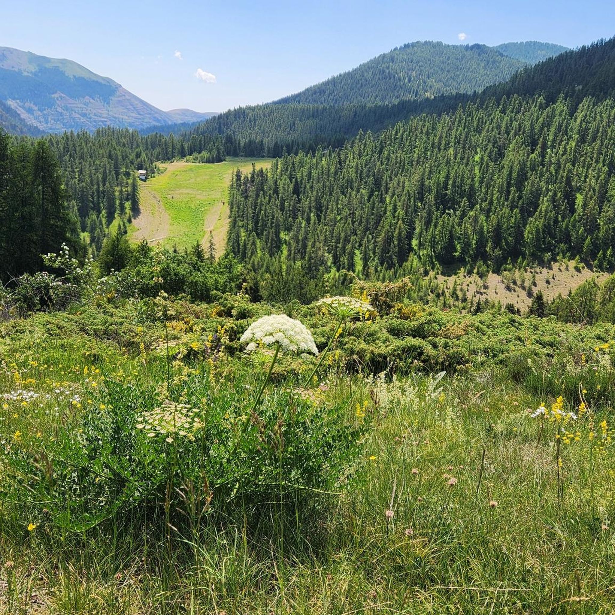
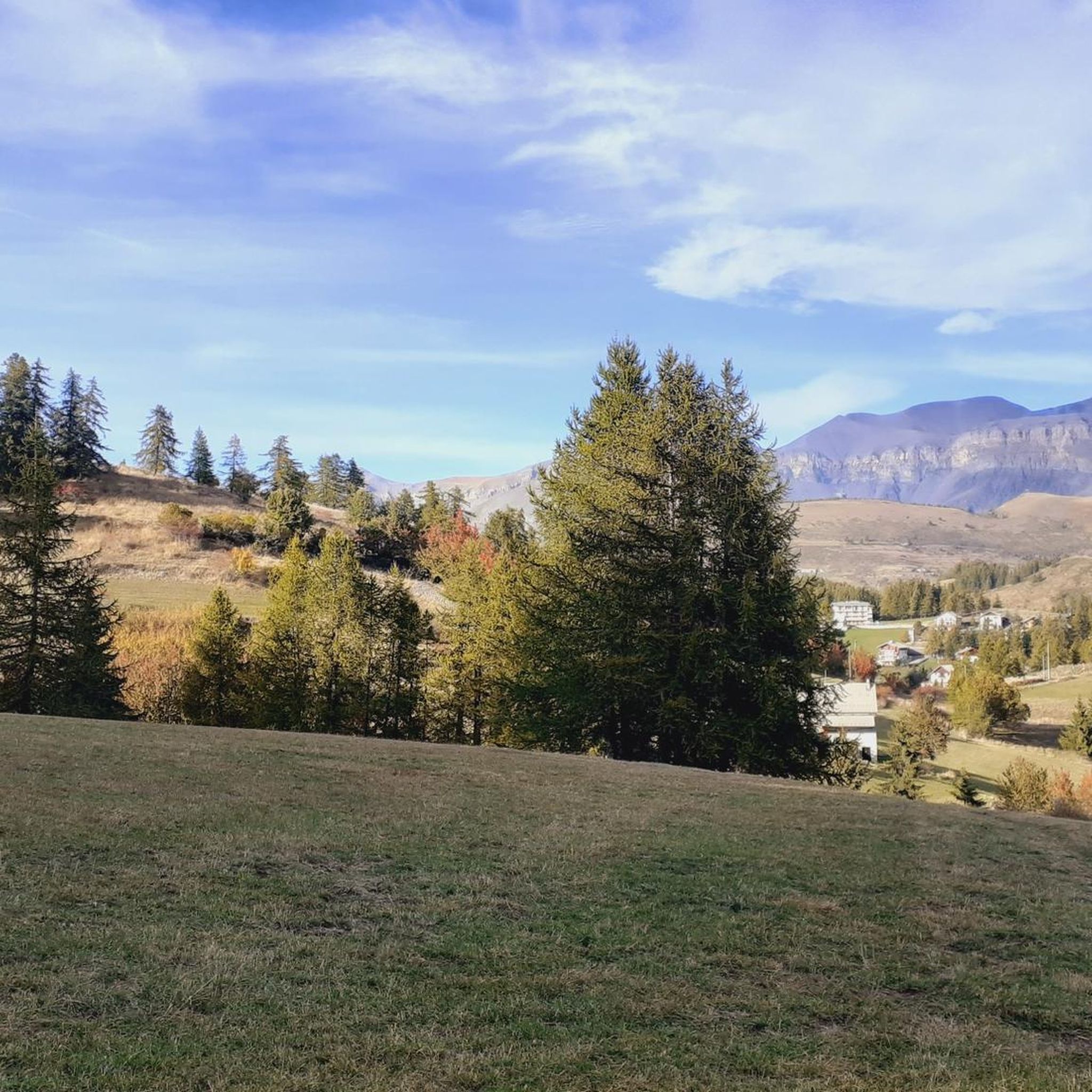
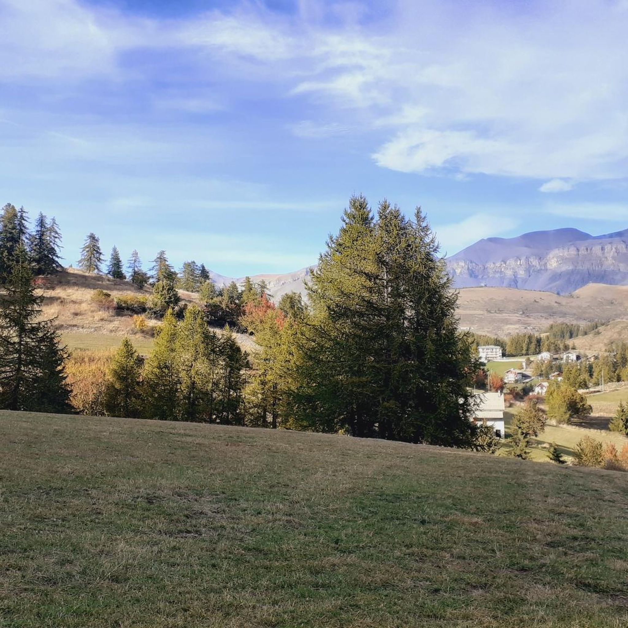
Nestled in the Southern Alps, the Col du Raton offers a wild and unspoiled route, perfect for mountain bike enthusiasts. Culminating at 1,686 meters, it crosses landscapes of steep mountains, pine forests and alpine meadows. The pass reveals breathtaking panoramas of the surrounding valleys, with a clear view of the neighboring peaks. The climb, although sporty, is rewarded by the raw beauty of nature.
1
0

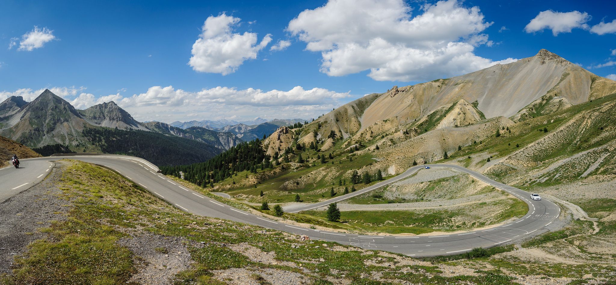
This (southern) face of the Col de la Bonette is more spectacular than the north face and also a bit tougher, as it has more kilometers and more elevation gain. I've always done it downhill, so it's on my list of challenges.
0
0
The western and French slope of the Col de la Lombarde is hard and long with 20 km and almost 1,500m of elevation gain. Until you reach the Isola 2000 ski resort, which is the main part of the climb, you travel along a road that goes up a very narrow valley. The first kms are the hardest, with an average of 9% and ramps above 10%. Afterwards, the slope softens and is very constant, with some rest sections. After the Isola 2000 station, we face the last 4 km where the slope increases to 8%, with several horseshoe curves and very beautiful views of the valley and the ski resort. A port that remembers the old mountain passes. A pleasure for the senses.
1
0

The Col de la Couillole from Saint Sauveur sur tinee is 16km long with 1168m of elevation gain. The average gradient of the climb is 7.3% with maximum gradients of 9.3%.
3
0
The Col de Sainte-Anne is 3.9 km long with an elevation gain of 228 m and an average gradient of 5.8%.
2
0

A regular pass, which won't let you rest for more than a few moments between Isola and the top of the pass. For hot weather, the thirsty will find what they are looking for by taking a detour to the Isola 2000 fountain. This wild pass attracts many wildlife photographers in summer.
2
1
페오네 주변에서 가장 인기 있는 명소


더 살펴보기
이 가이드를 통해 더 많은 장대한 산악 통과를 확인해보세요 페오네 주변:
