라 로케트 쉬르 바르에서 가장 멋진 5개의 산길
라 로케트 쉬르 바르에서 가장 멋진 산길을 아래에서 살펴보세요. 풍경을 감상하기에도 좋고, 오르막길/내리막길을 따라 걷기에도 좋은 곳이랍니다. 커뮤니티가 특별 도움을 통해 공유한 콘텐츠인 만큼 믿을 수 있는 정보이니 마음에 드는 산길이 있다면 바로 다음 모험 계획에 추가해서 바로 방문해보세요.
마지막 업데이트: 8월 19, 2026
포르 뒤 몽 쇼브 다스프레몽
하이라이트 • 역사적 장소
번역자 Google •
팁에 의해


이런 장소를 발견하려면 지금 가입하세요
최고의 싱글 트랙, 봉우리 및 다양한 흥미로운 야외 장소에 대한 추천을 받아보세요.
무료 회원 가입

라 로켓 쉬르 바르 고개 오르막
하이라이트 (구간) • 등반
번역자 Google •
팁에 의해


오늘 무료 계정으로 시작하세요
다음 모험이 기다리고 있어요.
로그인 또는 가입하기
커뮤니티 팁

The Conte side is made up of a series of hairpins with a large % of slope on the ubac The Tourette-Levens side is shorter with only one hairpin. The entire climb is on the sunny side
0
0
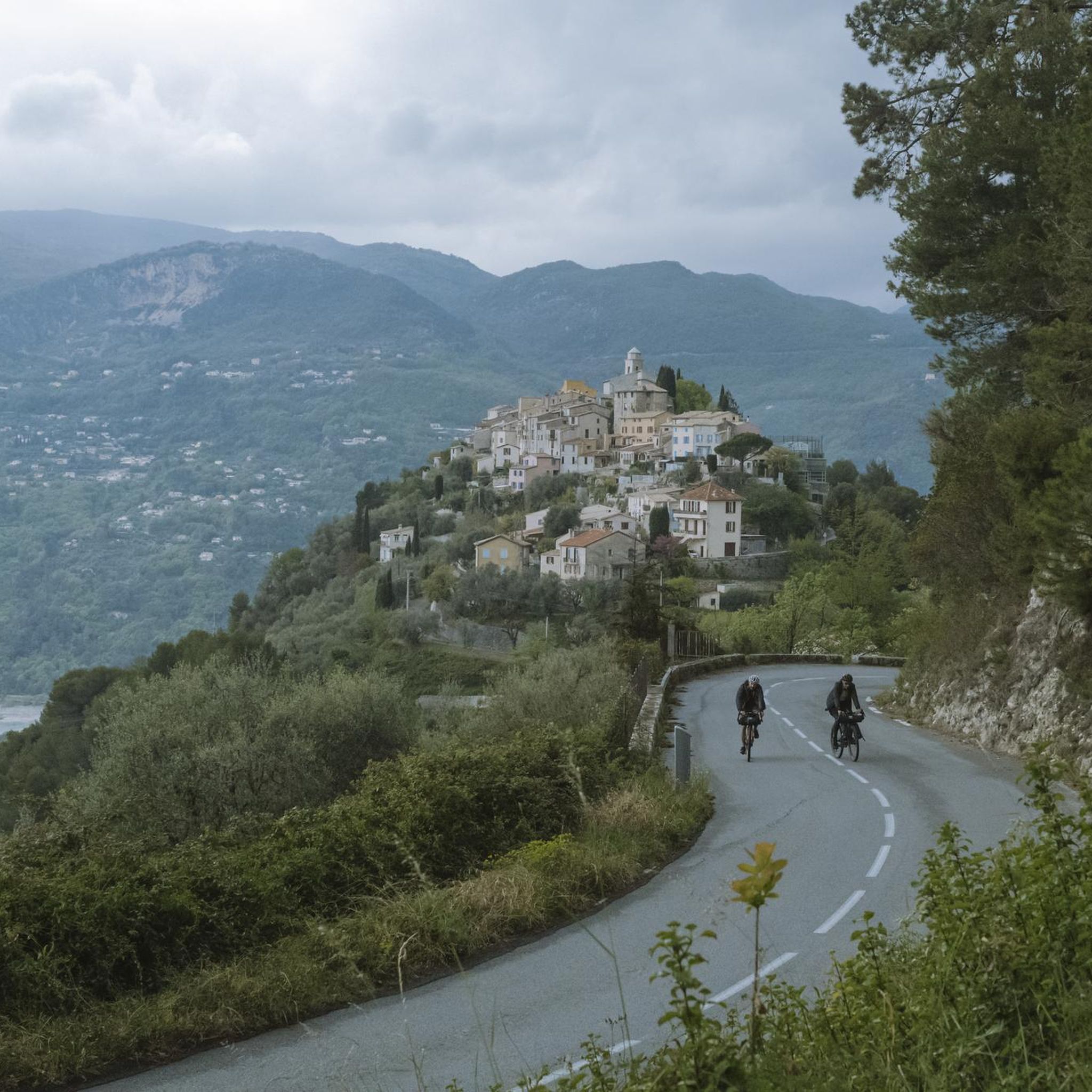
one of the most beautiful roads in the area
1
0


The ascent to Mont Chauve is entirely paved, even if the asphalt after the barrier is very damaged, and allows you to reach this panoramic panettone above Nice, enjoying a 360° view. We talked about it here https://outdoortest.it/riviera-gravel-due-percorsi-gravel-a-picco-sul-mare-della-costa-azzurra/
1
0

As soon as you leave the M14 turning right for the Mont Chauve road, it takes a little over 7km of ascent over 540m positive; to reach the fort.
0
0

At the top, a sumptuous view of Nice and its surroundings.
1
1

The Col Villevieille from Entrevaux is 8.75km long with 548m of elevation. The average gradient is 6.25% with steeper sections of 11%.
3
0
The Col de Ferres extends over 14.2 kilometers with an average slope of around 4%. There are steeper sections with gradients of 6-8% and the climb takes you to the altitude of 596 meters. The view of the valley is breathtaking!
3
0
라 로케트 쉬르 바르 주변에서 가장 인기 있는 명소


더 살펴보기
이 가이드를 통해 더 많은 장대한 산악 통과를 확인해보세요 라 로케트 쉬르 바르 주변:
