경로

플래너

기능

업데이트

App

로그인 또는 가입

앱 다운로드

로그인 또는 가입

로그인 또는 가입

경로
등산
스위스
그리손
말로자

라푼트샤무슈

라푼트샤무슈 최고의 등산 경로

5.0

(50)

551

등산객

41

하이킹

라푼트샤무슈에서 하이킹하며 말로자 구석 부분까지 살펴볼까요? 라푼트샤무슈에 있는 모든 하이킹 및 워킹 경로 컬렉션 중 가장 멋진 하이킹 경로를 엄선하여 소개해드릴게요. 다른 하이커가 공유한 실제 팁과 사진을 살펴보고 후기를 읽으며 마음에 드는 라푼트샤무슈 워킹 경로를 찾아보세요.

마지막 업데이트: 5월 11, 2026

5.0

(2)

35

등산객

#1.

Pontresina에서 출발하는 뢴트겐베크 폰트레지나 – 퐁트레지나 순환 코스

4.38km

02:25

320m

320m

어려운 등산 코스. 좋은 체력 필요. 튼튼한 신발을 신고 미끄러지지 않게 조심해야 하며, 높은 산을 오른 경험이 있어야 함.

기기에서 길안내

휴대폰으로 전송

저장

어려움

어려운 등산 코스. 우수한 체력 필요. 튼튼한 신발을 신고 미끄러지지 않게 조심해야 하며, 높은 산을 오른 경험이 있어야 함.

어려움
guide_signup
저희가 komoot 모바일 앱로 길을 안내해 드리겠습니다.
무료 komoot 계정로 끝없는 야외 모험을 손쉽게 찾고, 맞춤 설정하며 길안내할 수 있어요.

무료 회원 가입

어려운 등산 코스. 좋은 체력 필요. 튼튼한 신발을 신고 미끄러지지 않게 조심해야 하며, 높은 산을 오른 경험이 있어야 함.

어려움

어려운 등산 코스. 좋은 체력 필요. 튼튼한 신발을 신고 미끄러지지 않게 조심해야 하며, 높은 산을 오른 경험이 있어야 함.

어려움

어려운 등산 코스. 우수한 체력 필요. 튼튼한 신발을 신고 미끄러지지 않게 조심해야 하며, 높은 산을 오른 경험이 있어야 함.

어려움
무료 회원 가입 후 라푼트샤무슈 주변 하이킹 경로를 37개 더 확인하세요

더 다양한 경로와 다른 탐험가들의 추천을 살펴보세요.

무료 회원 가입

이미 komoot 계정이 있나요?

투어 추천은 다른 사람들이 komoot에서 완료한 수천 개의 활동을 바탕으로 구성되어 있습니다.
오늘 무료 계정으로 시작하세요

다음 모험이 기다리고 있어요.

로그인 또는 가입하기

라푼트샤무슈 주변 인기 장소

Hiking with respect and tolerance – it just makes sense!

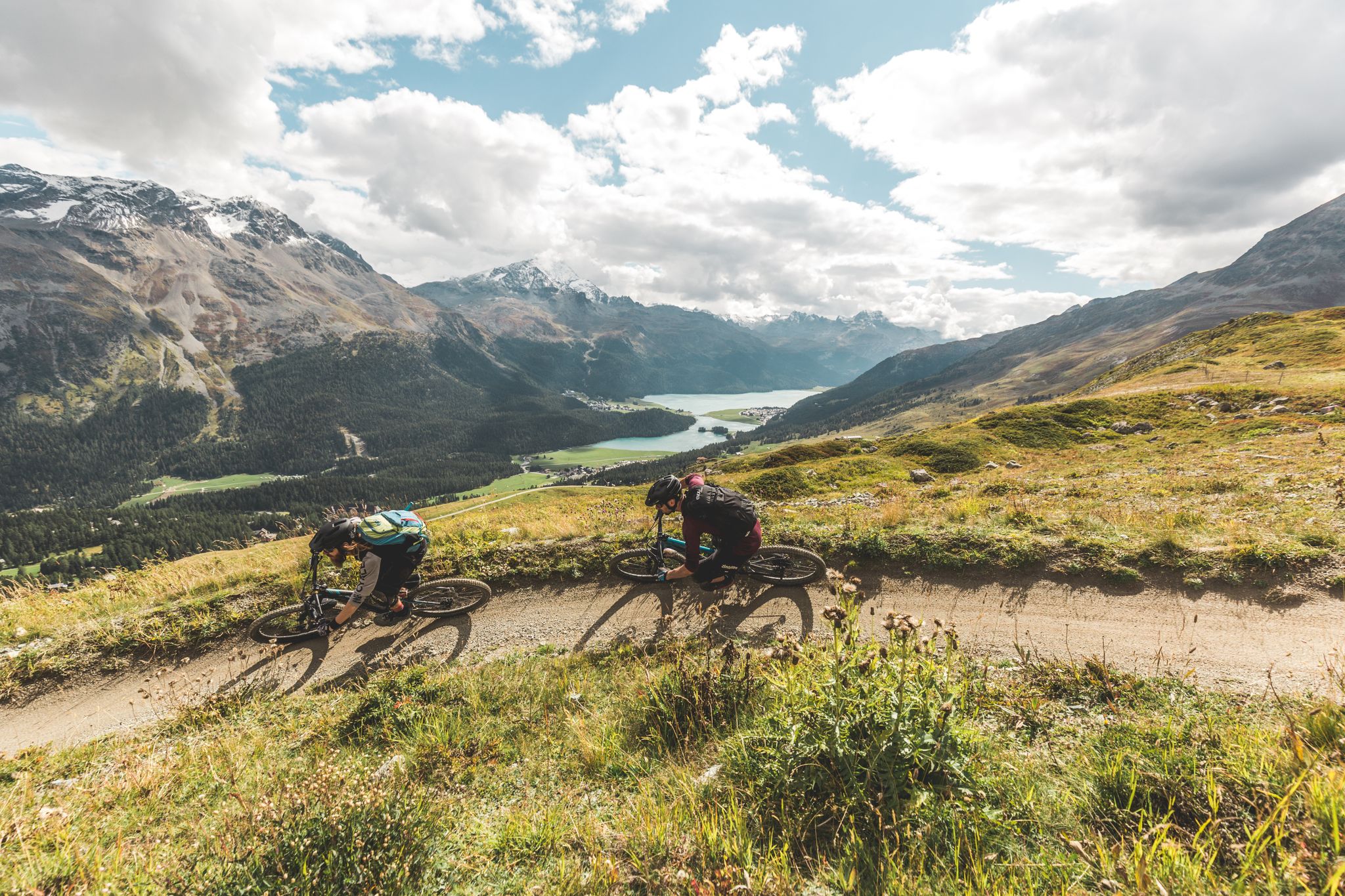
Go with the flow — bike trails in Switzerland’s Engadin valley

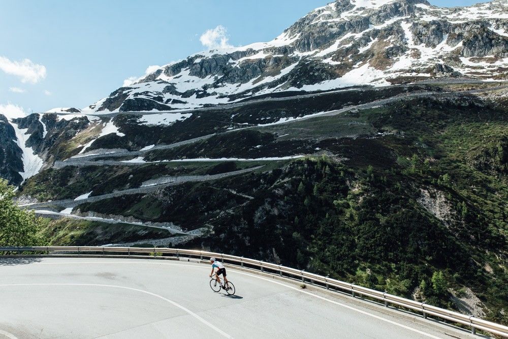
깔끔한 아스팔트로 구름으로

라푼트샤무슈 로드 사이클링 경로

라푼트샤무슈 하이킹

라푼트샤무슈 사이클링

라푼트샤무슈 주변 그래블 라이딩

라푼트샤무슈 MTB 트레일

라푼트샤무슈 러닝 트레일

라푼트샤무슈 주변의 다른 모험

Hiking with respect and tolerance – it just makes sense!

하이킹 컬렉션 에 의해

Graubünden

커뮤니티 팁

Werner 🚶‍♂️🚵‍♂️🚴‍♂️
8월 26, 2025, Alp Languard

The chairlift is a bit adventurous, as the technology is rather outdated.

번역: Google

1

0

The ascent and descent to the hut are not easy, but you can enjoy a wonderful view from up there. Tip: The barley soup is extremely delicious! 😋😉

번역: Google

0

0

In the restaurant you can eat a mega fine large cream slice 😋

번역: Google

0

0

Chamanna Georgy is an alpine hut located at 3,175 meters above sea level, just 80 meters below the summit of Piz Languard, in the canton of Graubünden, Switzerland. It is the highest hut in the Engadine and the canton of Graubünden. From the hut, a path leads to the summit of Piz Languard in about 30 minutes, offering unique views. Chamanna Georgy has 20 beds and is managed by Céline Egli and Simon Thaler. The surrounding area is frequented by ibex and marmots, making the hike particularly fascinating for lovers of alpine fauna.

번역: Google

1

0

Paul
2월 4, 2025, Spaniola Tower

Spaniola Castle Tower, Pontresina The name Spaniola (in Roman spagniöl = Spanish) seems to be of more recent origin. The edge is directed towards the mountain to protect against avalanches and rockfalls, but also for strategic reasons. The round-arched high entrance and the toilet extension on the second floor are clearly visible and unique. The tower can be viewed from the outside. The tower was built around 1200, but there are no written documents. Text / Source: Pontresina Tourism, Via Maistra 133, Pontresina https://www.pontresina.ch/de/guide/unser-pontresina/ausflugsziele-im-ueberblick/kultur-architektur/spaniolaturm

번역: Google

14

0

Röntgenweg, Pontresina On this leisurely tour, you first take the chairlift up to Alp Languard (2326 m above sea level). From Alp Languard, the hike leads into Val Languard. Bringing binoculars is almost a must, because there is a lot to observe in this valley. Marmots sunbathing and, with a bit of luck, even ibexes, which have been resettled here on Piz Albris (3166 m above sea level). The path leads along the stream, which flows into a fork in the road almost at the very back of the valley. The walk towards Paradis Hut (2540 m above sea level) should be rewarded with a piece of cake. After this wonderful refreshment, the path leads along the ridge, past some wonderful vantage points with a view of the beautiful Bernina massif. From the tree line, the zigzag forest path, named after Prof. C.W. Röntgen, leads back down towards Pontresina. The hike ends at the two cultural highlights, the Church of Santa Maria and the Spaniola Tower. Text / Source: Engadin Tourismus AG, Via Maistra 1, CH-7500 St. Moritz https://www.maps.engadin.ch/de/tour/bergwanderrouten/alp-languard-paradis-huette-pontresina/23436149/

번역: Google

14

0

Pontresina "from pass village to mountaineering village / winter sports resort / place of longing for alpinists and nature fans" Once the main town in the valley in the Middle Ages, Pontresina was initially important as a pass village. It later became known as a mountaineering village and as an early popular summer destination. Then also as a winter sports resort. To this day, the high alpine outdoor Eldorado is a place of longing for alpinists and nature fans at any time of year. Text / Source: Pontresina Tourism, Via Maistra 133, Pontresina https://www.pontresina.ch/de/guide/unser-pontresina/dorfportrait

번역: Google

14

0

Pure high alpine enjoyment! Located in the ballroom of the Alps, pampered by the sun and star chefs, summer and winter guests enjoy only the best of the finest. The charm of the historic mountain village is enchanting: typical Engadine houses and hotel palaces of the Belle Époque against the breathtaking backdrop of the Bernina massif. The sheltered and sunny location at 1,800 meters above sea level and the dry, mild climate make Pontresina a climatic health resort. In the Upper Engadine, 350 km of panoramic slopes take you to some of the most legendary Swiss ski areas. Vast, untouched deep snow areas, frozen waterfalls and lakes invite freeriders, ice climbers and snow kiters. In summer, 580 km of hiking trails, 400 km of bike trails and the Upper Engadine lake landscape beckon. Exclusive sports opportunities crowned by award-winning cuisine. Pontresina is a place of peace, sport and pleasure. Guests enjoy every day - summer and winter. For an unforgettable time and homesickness that only arises when you get home. Text / Source: Pontresina Tourism, Via Maistra 133, Pontresina https://api.gemeinde-pontresina.ch/fileadmin/user_upload/gemeinde-pontresina/Dokumente/Ortsplan_Pontresina.pdf https://api.engadin.ch/fileadmin/user_upload/engadin/PDF_Ortspl%C3%A4ne/Ortsplan_Pontresina.pdf

번역: Google

14

0

라푼트샤무슈 주변에서 가장 인기 있는 경로

라푼트샤무슈 로드 사이클링 경로

라푼트샤무슈 주변에서 가장 인기 있는 명소

Places to see

Store rating

komoot 모바일 앱으로 영감을 받아보세요

무료 komoot 계정로 끝없는 야외 모험을 손쉽게 찾고, 맞춤 설정하며 길안내할 수 있어요.

또는

지금 komoot에 가입하세요

Store rating

더 살펴보기

다른 지역의 최고의 산악 하이킹 & 경로를 살펴보세요.

폰트레시나생모리츠사메단마둘랭셀레리나/슐라리그나레지 다 산 무레잔Stazerwald / 갓 다 스타즈실스 임 엔가딘/세글비버레이 다 실바플라우나실스 호수주오즈레이 다 샹페르실바플라나S-chanf브레가글리아레이 다 바드레트라그 다 알비냐

근처 어드벤처 가이드

마둘랭 즐길거리

background

새로운 정복을 위한 준비를 하세요

무료로 가입하기

탐험하기
경로경로 플래너기능하이킹MTB 트레일로드 사이클링 경로바이크패킹사이트맵
앱 다운로드
소셜 미디어에서 팔로우하기

© komoot GmbH

개인 정보 보호 정책