20의 알류가지 명소 & 주요 장소
알류에는 둘러볼 만한 장소가 많답니다. 하이킹 또는 사이클링을 좋아한다면 알류에 숨겨진 20
가지 보석을 만날 수 있을 거예요. 이 지역의 주요 명소를 살펴보면서 다음 모험을 계획해보세요.
마지막 업데이트: 8월 30, 2026
베로루트 81의 터널
하이라이트 (구간) • 자전거 도로
You will therefore be enlightened as you progress underground.
번역자 Google •
팁에 의해

Voie Verte Foix–Saint-Girons
하이라이트 (구간) • 자전거 도로
Too bad, with a better surface the Bahntrassenradweg would have a lot of potential.
More information: af3v.org/les-voies-vertes/voies/279-search_tag and fr.wikipedia.org/wiki/Ligne_de_Foix_%C3%A0_Saint-Girons?wprov=sfla1
번역자 Google •
팁에 의해

이런 장소를 발견하려면 지금 가입하세요
최고의 싱글 트랙, 봉우리 및 다양한 흥미로운 야외 장소에 대한 추천을 받아보세요.
무료 회원 가입
페귀에르 고개 오르막
하이라이트 (구간) • 산악 고개
번역자 Google •
팁에 의해

크루제트 고개 (1245m)
하이라이트 • 산악 고개
번역자 Google •
팁에 의해

V81 그린웨이 터널 (생-지롱 – 푸아)
하이라이트 (구간) • 자전거 도로
번역자 Google •
팁에 의해

무료로 가입하여 알류 주변의 더 많은 명소를 발견하세요.
무료 회원 가입
이미 komoot 계정이 있나요?
오늘 무료 계정으로 시작하세요
다음 모험이 기다리고 있어요.
로그인 또는 가입하기

커뮤니티 팁

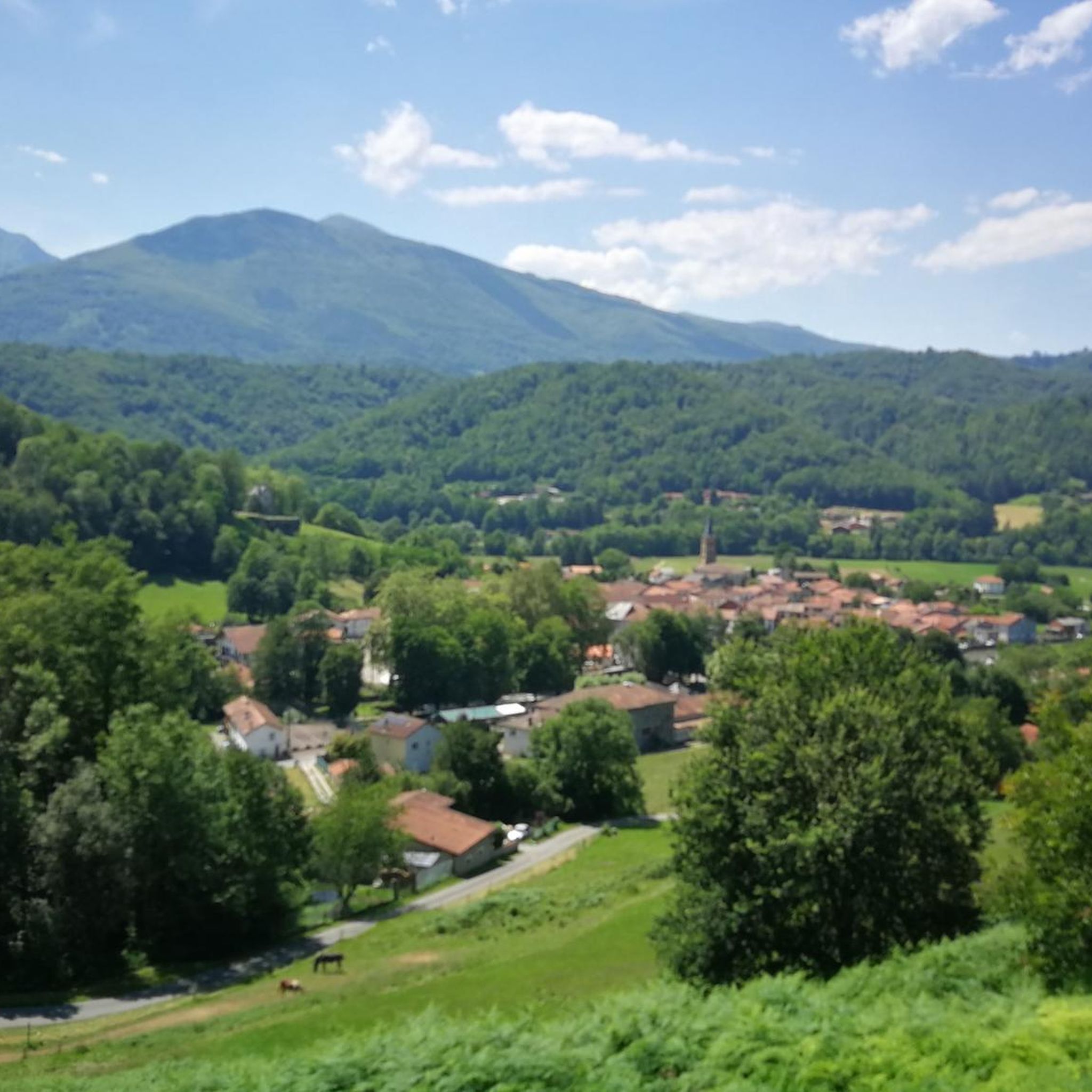
저는 Biert 마을에서 시작하는 남쪽 경사면으로 내려온 경험에 대해서만 이야기할 수 있습니다. 그것은 단순히 멋진 고개이며, 매우 가까운 형제인 Mur de Peguère와 매우 유사한 매우 힘든 마지막 구간이 있습니다. 거의 교통량이 없으며, 도로는 매우 좁고 구불구불해서 정신적으로 도움이 된다는 매력이 있습니다.
1
0

Be careful, since yesterday, June 19th, the descent to Rivèrenert has been freshly graveled and dangerous. I had a rear puncture due to small, sharp gravel sticking to the tire when braking. So, don't go crazy on this descent, friends.
3
0
Because around 12pm and >31°C, the climb from Biert is mostly in the shade, and this pass generally ends a series of small linked passes (like Portech, Catchaudégué or La Core, Saraillé, etc.). And the challenge of the last 3 km is worth experiencing to strengthen your mental strength. Get to your pedals
1
0

The greenway from St-Giron to Foix (which I always did in the direction Foix to St-Giron) is the most beautiful part of the greenway which in total goes to (almost) Boussens. It is a slightly hilly section with the most beautiful landscapes!
1
0
This is the longest tunnel on the greenway: it's super fun to go through. Be careful: it's a bit chilly!
1
0
Hello everyone, I'm from Ariège, I decided this year to do the greenway with my dog Emy in both directions. It's a very beautiful walk, however there are some black points: lack of stone benches to deter potential thieves, and on the other hand the large Rimont tunnel which is 803 m long there is no more light. The motion detector does not work. Luckily that day I had my flashlight with me. There is horse excrement everywhere, perhaps one day we will have to ask the riders to pick up their droppings. It's a very beautiful walk.
0
0


The Col de la Crouzette, rising to 1,244 m but sometimes indicated at 1,241 or 1,245 m, is a road pass in the Pyrenees in the department of Ariège, to the south the commune of Biert, on the limit with Rivèrenert , on the route des cimes between Saint-Girons and Foix. Wikipedia
1
0
알류 주변에서 가장 인기 있는 명소


더 살펴보기
찾고 있는 하이라이트를 아직 못 찾으셨나요? 다른 지역의 주요 명소 가이드를 확인해보세요:
