룽게른 최고의 러닝 경로
4.4
(113)
5,176
달리기 하는 사람
252
러닝
룽게른에서 하이킹하며 오브발덴 구석 부분까지 살펴볼까요? 룽게른에 있는 모든 하이킹 및 워킹 경로 컬렉션 중 가장 멋진 하이킹 경로를 엄선하여 소개해드릴게요. 다른 하이커가 공유한 실제 팁과 사진을 살펴보고 후기를 읽으며 마음에 드는 룽게른 워킹 경로를 찾아보세요.
마지막 업데이트: 8월 21, 2026
12
달리기 하는 사람
12.7km
02:20
960m
960m
어려운 조깅. 우수한 체력 필요. 튼튼한 신발을 신고 미끄러지지 않게 조심해야 하며, 높은 산을 오른 경험이 있어야 함.
3.0
(1)
12
달리기 하는 사람
8.42km
00:56
140m
140m
보통 조깅. 좋은 체력 필요. 대부분 포장된 지면. 실력과 관계없이 누구나 갈 수 있음.

무료 회원 가입
5.0
(3)
14
달리기 하는 사람
5.55km
00:35
60m
60m
보통 조깅. 좋은 체력 필요. 대부분 포장된 지면. 실력과 관계없이 누구나 갈 수 있음.
6
달리기 하는 사람
25.0km
04:38
1,630m
1,630m
어려운 조깅. 우수한 체력 필요. 튼튼한 신발을 신고 미끄러지지 않게 조심해야 하며, 높은 산을 오른 경험이 있어야 함.
7
달리기 하는 사람
6.65km
01:02
400m
400m
어려운 조깅. 우수한 체력 필요. 대부분 포장된 지면. 실력과 관계없이 누구나 갈 수 있음.
더 다양한 경로와 다른 탐험가들의 추천을 살펴보세요.
무료 회원 가입
이미 komoot 계정이 있나요?
투어 추천은 다른 사람들이 komoot에서 완료한 수천 개의 활동을 바탕으로 구성되어 있습니다.
오늘 무료 계정으로 시작하세요
다음 모험이 기다리고 있어요.
로그인 또는 가입하기

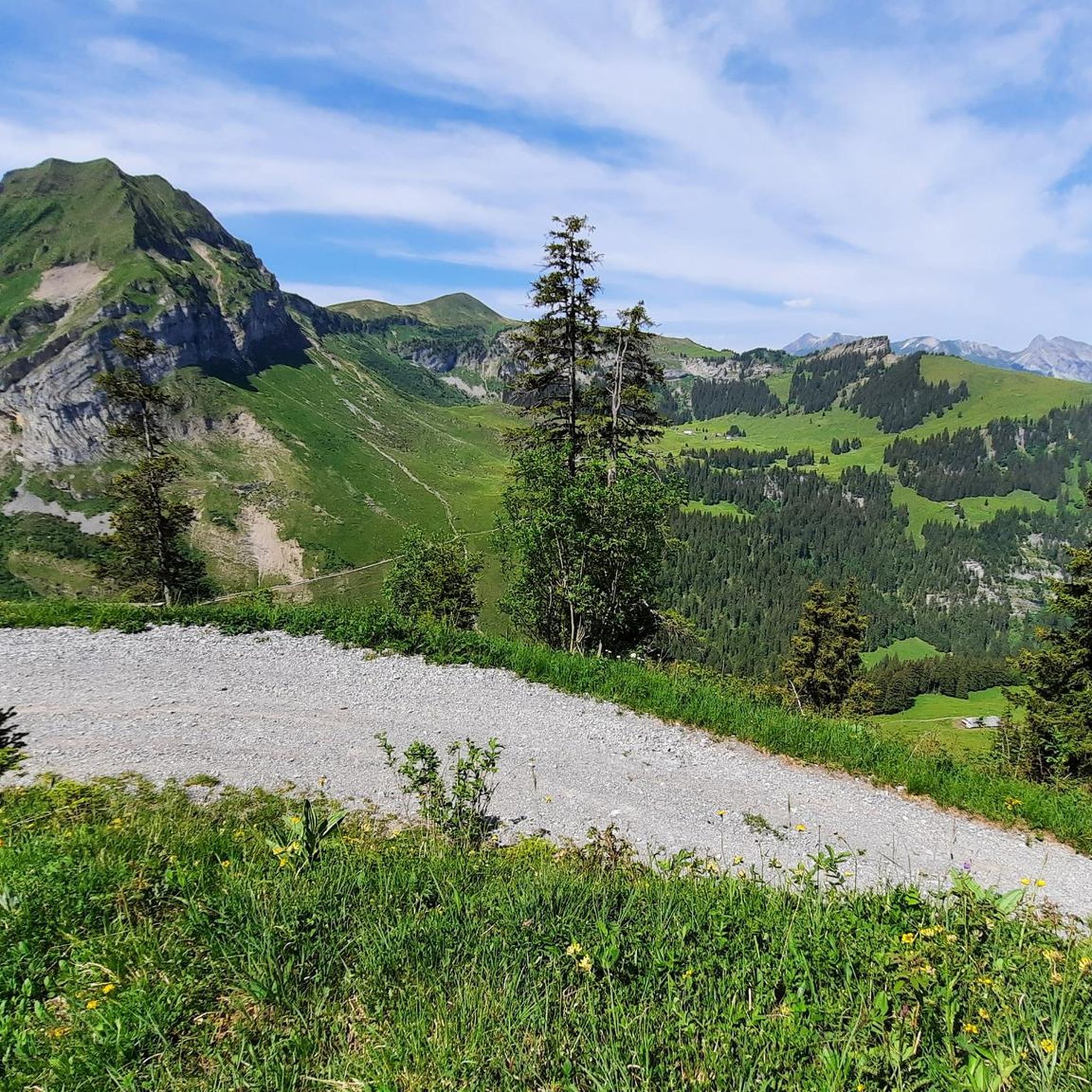
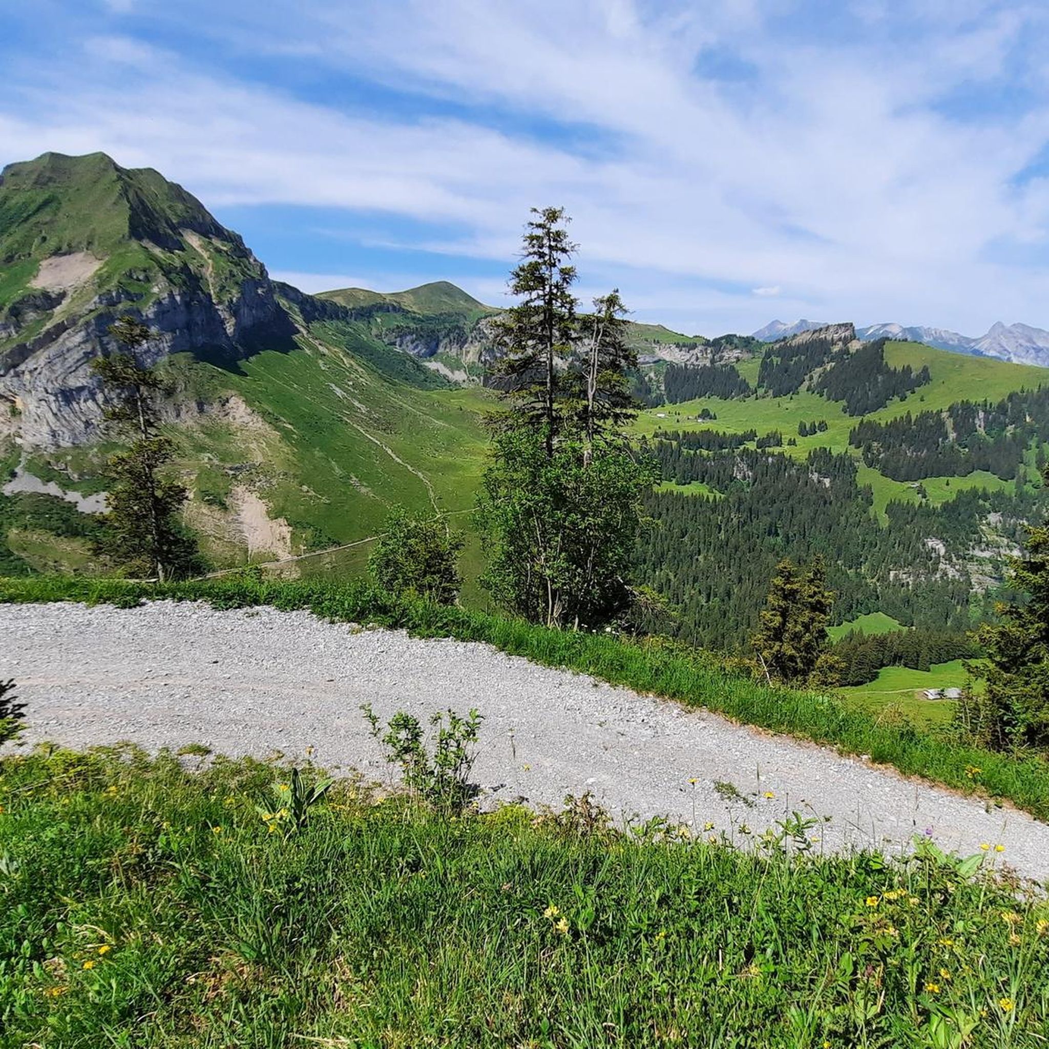

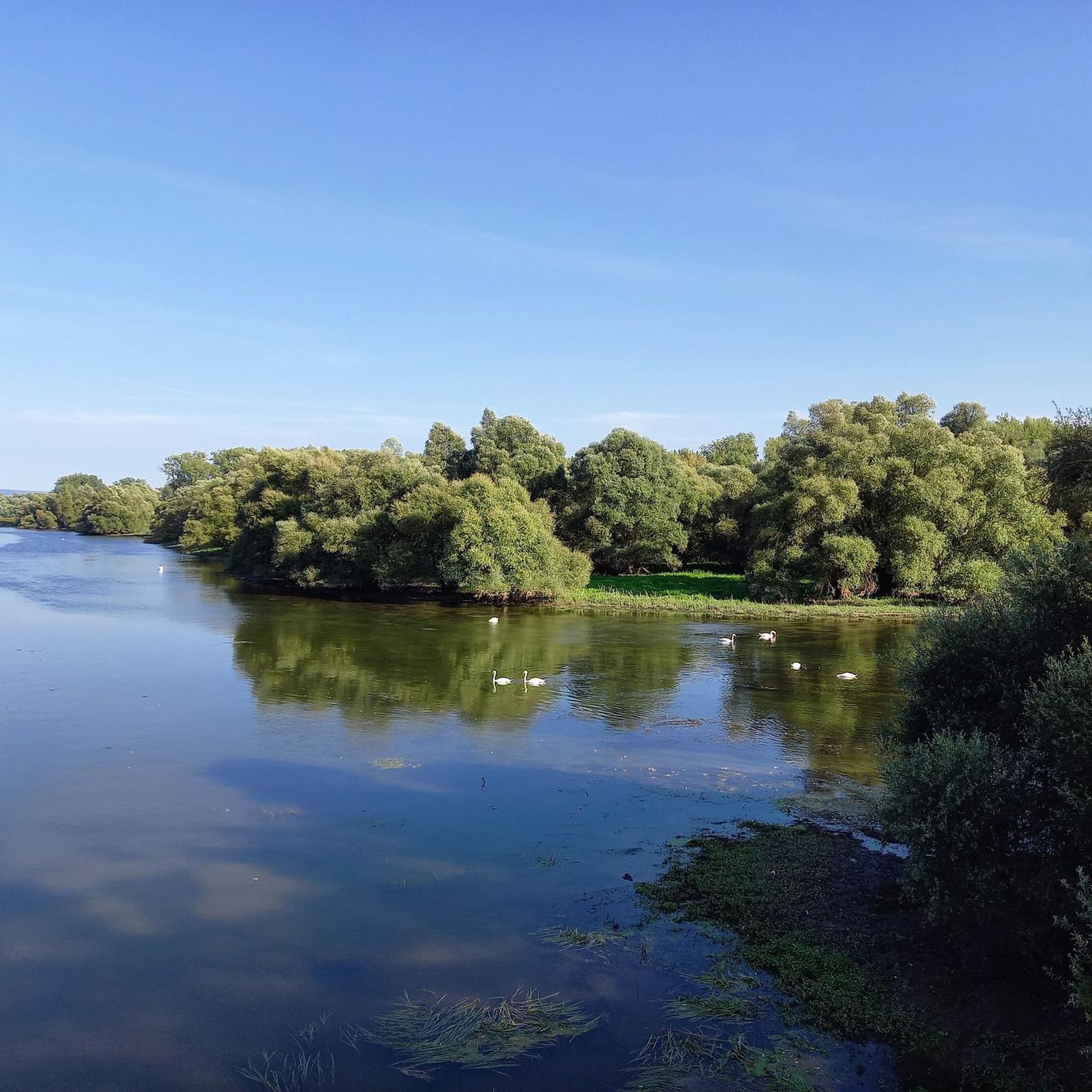


커뮤니티 팁


Brünig Pass (1008 m above sea level) There is some historical evidence of the Brünig Pass dating back to 1304. These include agreements, protective alliances, regulations regarding property, etc. between Obwalden and Oberhasler. The trade routes from Bern via Thun and Lucerne via Brünig met in Meiringen. They then continued over the Grimsel, Griespass to Lombardy. The main export was Sbrinz cheese, which is why this trade route was called the Sbrinz Route. The transport was carried out exclusively by mule drivers. This was a profitable venture until the beginning of the 19th century. With the development of various passes with roads, it lost importance and the opening of the Gotthard Railway in 1882 brought mule traffic to a complete standstill. Today, interested parties can experience the mule traffic on the Sbrinz route in the summer months. Construction of the Brünigstrasse began in 1857. The Brünigbahn opened in 1888. This cog railway runs over the summit of the Brünig Pass (1008 m above sea level) from Lucerne to Meiringen and Interlaken. Text / Source: Interest Group for Alpine Passes IAP, PO Box 11, 6491 Realp https://www.alpen-paesse.ch/alpenpaesse/bruenigpass/
14
0

From the highest point in the canton of Lucerne you have a breathtaking view of the Jungfrau region, Eiger, Mönch and Jungfrau. A view of the Swiss Mittelland all the way to the Black Forest.
2
0

Even in winter (when you can only move around on the viewing platform as a pedestrian) it is worth a visit. Wrapped in cosy wool blankets, you can enjoy the panorama from a deck chair.
2
0


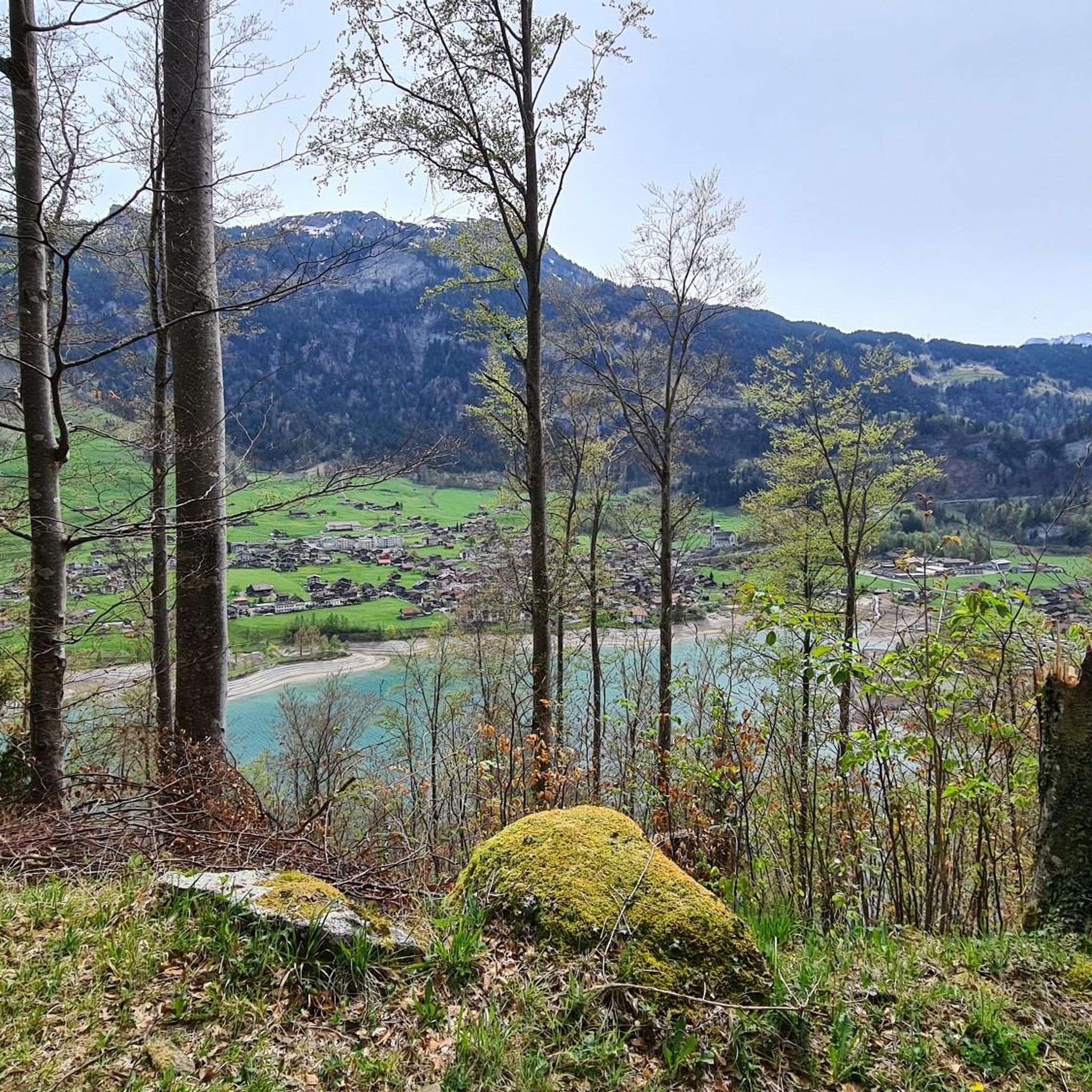
Beautiful lake that invites you to linger. The area can be explored via the Lungern Seerundweg.
0
0
Original seating on the shore of Lake Lungern that invites you to linger. The Wetterhörner Group sits enthroned on the horizon - well worth seeing.
0
0


