20의 꼬드브론드가지 명소 & 주요 장소
꼬드브론드에는 둘러볼 만한 장소가 많답니다. 하이킹 또는 사이클링을 좋아한다면 꼬드브론드에 숨겨진 20
가지 보석을 만날 수 있을 거예요. 이 지역의 주요 명소를 살펴보면서 다음 모험을 계획해보세요.
마지막 업데이트: 8월 30, 2026


이런 장소를 발견하려면 지금 가입하세요
최고의 싱글 트랙, 봉우리 및 다양한 흥미로운 야외 장소에 대한 추천을 받아보세요.
무료 회원 가입


피크 드 노르 오르막
하이라이트 (구간) • 기타
번역자 Google •
팁에 의해

무료로 가입하여 꼬드브론드 주변의 더 많은 명소를 발견하세요.
무료 회원 가입
이미 komoot 계정이 있나요?
오늘 무료 계정으로 시작하세요
다음 모험이 기다리고 있어요.
로그인 또는 가입하기

커뮤니티 팁

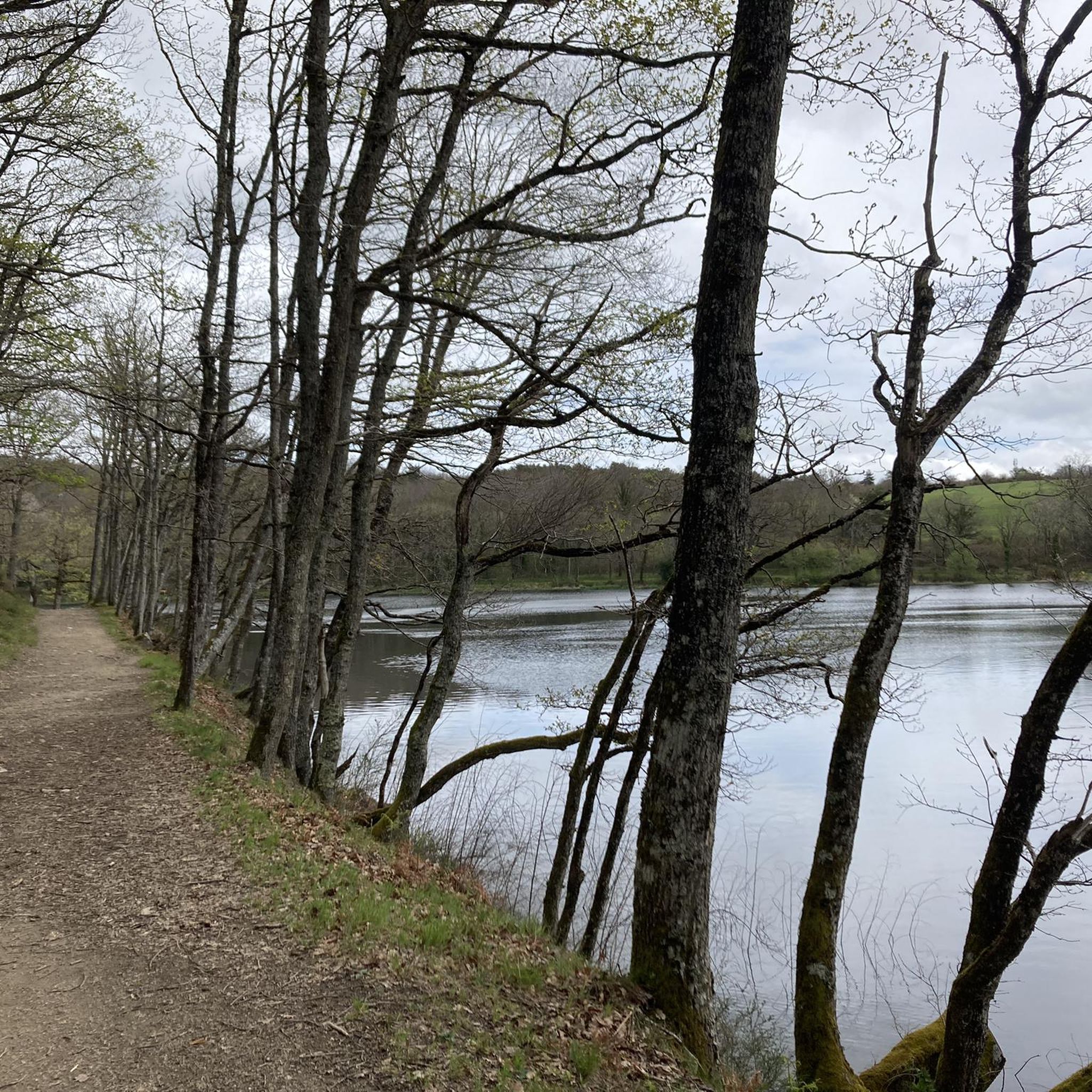
Tarn[2]의 Arfons 코뮌에 위치한 Alzeau 댐(또는 Alzau[1])은 이후 Canal du Midi에 물을 공급하는 Montagne 수로의 출발점입니다. Aude 데파트망과의 경계에 있으며 Lacombe 코뮌을 통해 접근할 수 있습니다. (위키백과)
0
0
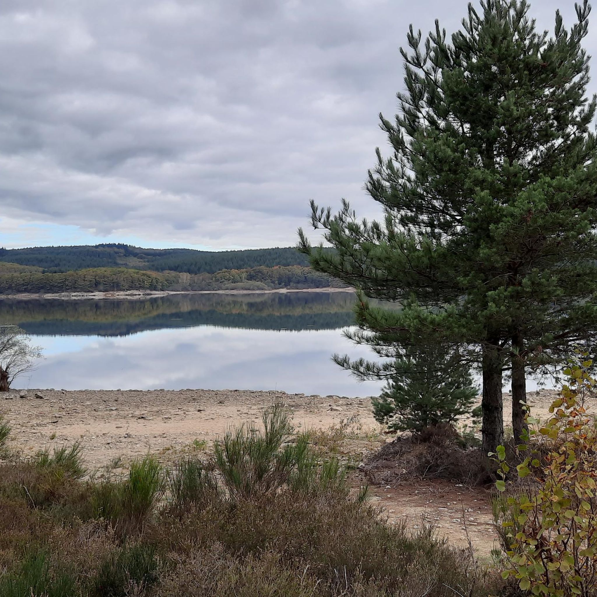
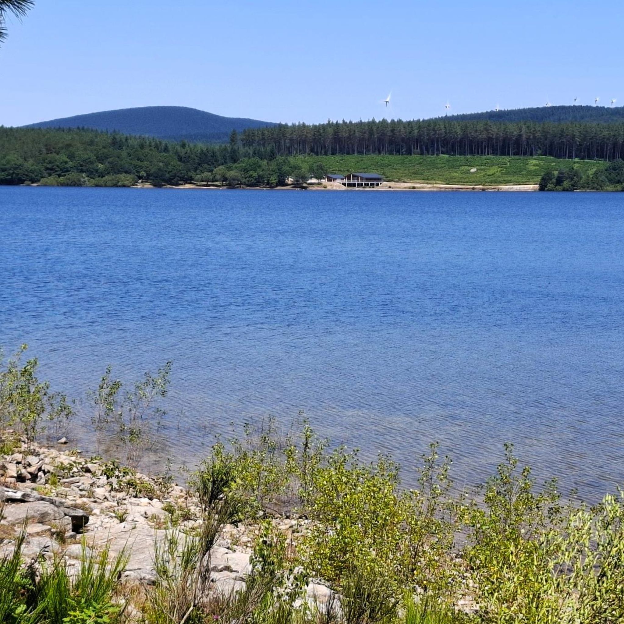
The Cammazes Dam is located in the Montagne Noire massif in the Tarn department. It provides a drinking water reserve for the municipalities around Revel. Built between 1954 and 1957 and commissioned in 1958, the Cammazes Dam is located on the Sor River, between the municipalities of Cammazes and Sorèze in the Tarn department, and the municipality of Saissac in the Aude department. It forms Lake Cammazes, which also receives excess water from the mountain channel via the Conquet spillway. The structure is intended for drinking water supply and irrigation. It supplies 200 municipalities, representing over 170,000 inhabitants. The surface area of the body of water is approximately 90 hectares. Its reservoir volume is 18.8 million cubic meters; the watershed area is 30 km². The operator is the Montagne Noire Water Institution. The water is piped to the Picotalen treatment plant. It also serves as a reserve for the Canal du Midi via a water intake feeding the mountain channel (water rights of 4 million cubic meters) (Wikipedia)
0
0


At 90 meters high, it is the highest waterfall in the Aude department. For a bird's eye view of the fall, you have to go to the hamlet of Cubserviès. There is no access to the foot of the waterfall.
0
0


Part of the circuit of "Villages perched in the Black Mountain", Roquefère is a magnificent example. Set between two steep mountain sides, this tiny village has only 77 inhabitants at the last census. It is dominated by the castle built on a rock protuberance. The latter offered a surveillance point on the road between Carcassonne and the Albigeois. Its origin dates back to the 12th century, and it has undergone only a few changes in its configuration since feudal times, apart from the two square towers and the south facade redesigned in the 17th century. The castle has always been occupied since its origins. It now belongs to a private person. You should also know that you will find a drinking water tap on the small square next to the road, right next to a fountain with a metal wheel (see photo).
0
0
꼬드브론드 주변에서 가장 인기 있는 명소


더 살펴보기
찾고 있는 하이라이트를 아직 못 찾으셨나요? 다른 지역의 주요 명소 가이드를 확인해보세요:
