세라네시 최고의 러닝 경로
4.1
(328)
9,985
달리기 하는 사람
243
러닝
세라네시에서 하이킹하며 제노바 구석 부분까지 살펴볼까요? 세라네시에 있는 모든 하이킹 및 워킹 경로 컬렉션 중 가장 멋진 하이킹 경로를 엄선하여 소개해드릴게요. 다른 하이커가 공유한 실제 팁과 사진을 살펴보고 후기를 읽으며 마음에 드는 세라네시 워킹 경로를 찾아보세요.
마지막 업데이트: 11월 1, 2026
41
달리기 하는 사람
13.9km
01:43
270m
270m
어려운 조깅. 좋은 체력 필요. 튼튼한 신발을 신고 미끄러지지 않게 조심해야 하며, 높은 산을 오른 경험이 있어야 함.
18
달리기 하는 사람
8.66km
00:55
100m
100m
보통 조깅. 좋은 체력 필요. 대부분 포장된 노면.

3.0
(2)
9
달리기 하는 사람
8.52km
00:57
210m
210m
보통 조깅. 좋은 체력 필요. 대부분 포장된 노면.
12
달리기 하는 사람
13.4km
01:29
270m
270m
보통 조깅. 좋은 체력 필요. 대부분 포장된 노면.
4.0
(1)
9
달리기 하는 사람
4.93km
00:33
130m
130m
보통 조깅. 좋은 체력 필요. 대부분 포장된 노면.
더 다양한 경로와 다른 탐험가들의 추천을 살펴보세요.
이미 komoot 계정이 있나요?
투어 추천은 다른 사람들이 komoot에서 완료한 수천 개의 활동을 바탕으로 구성되어 있습니다.
오늘 무료 계정으로 시작하세요
다음 모험이 기다리고 있어요.
커뮤니티 팁


Lots of traffic but take the time to look at this great building great craftsmanship
1
0

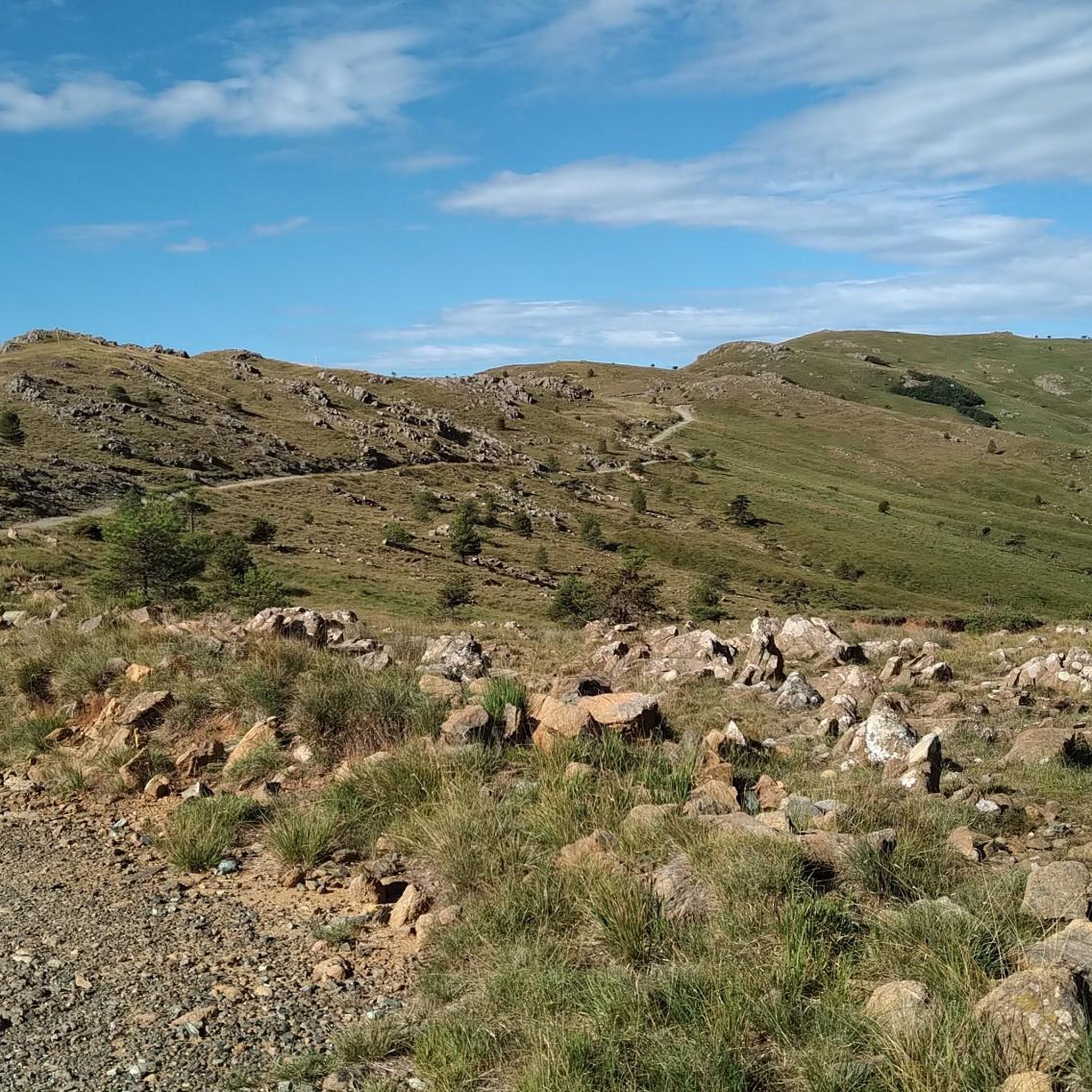
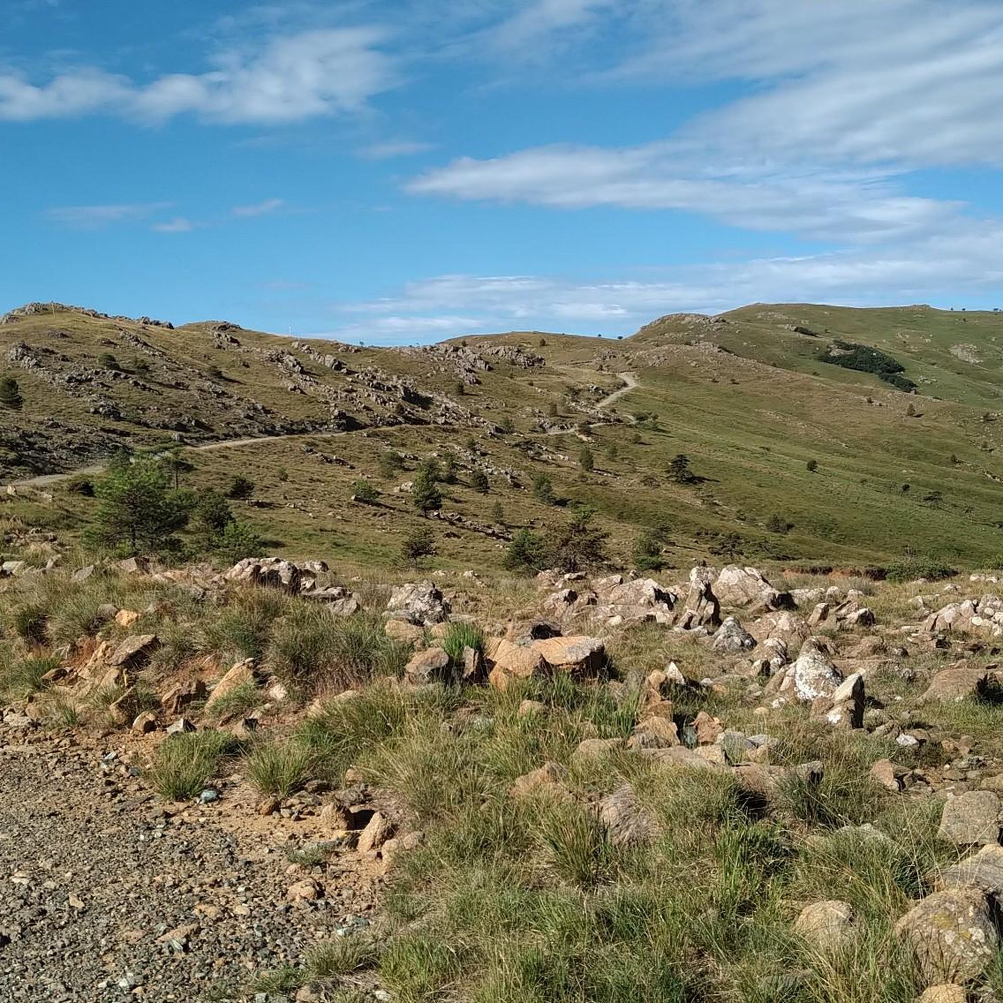
The Punta with its cross culminates at 1001 m in height, offering a spectacular panorama of the Ligurian Apennines and the coast.
3
0

It is the connection point between the hiking trails for Piani di Praglia, for San Carlo di Cese, for Monte Penello and Punta Martin, and for Passo del Turchino. It is located along the 22nd stage of the Alta Via dei Monti Liguri (Turchino–Praglia).
0
0

Colle Gandolfi (936 meters above sea level) wide view of the Gulf of Genoa and crossroads of paths to and from Monte Pennello, Punta Martin, Colle del Veleno
0
0

Piano Gandolfi is a grassy and hilly plateau from which you have a splendid view of the Gulf of Genoa.
3
0

From the grassy, hilly Piano Gandolfi plateau you have a great view of the Gulf of Genoa. From Colle Gandolfi (936 meters) you can make a detour to the top of Monte Penello (995 meters), where you have a great view over the landscape between the mountains and the coast of Genoa.
0
0

fantastic panorama. bike on your shoulder for the last stretch
0
0


더 살펴보기
다른 지역의 최고의 러닝 트레일 & 경로를 살펴보세요.
