ピエトラ-ディ-ヴェルデのおすすめウォーキング&ハイキングルート
4.5
(1746)
6,203
ハイカー
118
ハイキング
ピエトラ-ディ-ヴェルデ周辺でのハイキングは、景色を満喫するのに最適な手段のひとつですが、適切なハイキングルートを見つけることは簡単ではありません。 ピエトラ-ディ-ヴェルデ周辺の人気ハイキング&ウォーキングコースを参考にすれば、行きたいルートをすぐに見つけられます。
最終更新日: 10月 29, 2026
4.7
(61)
234
ハイカー
6.02km
02:32
440m
440m
中程度のハイキング. ある程度のフィットネスレベルが必要です。 ほとんどが歩ける道です。足元への注意が必要です。
4.7
(37)
124
ハイカー
11.0km
04:14
720m
710m
中程度のハイキング. ある程度のフィットネスレベルが必要です。 ほとんどが歩ける道です。足元への注意が必要です。

4.4
(17)
61
ハイカー
2.57km
00:54
70m
70m
中程度のハイキング. ほとんどが歩ける道です。足元への注意が必要です。
3.7
(14)
30
ハイカー
10.0km
03:06
360m
360m
中程度のハイキング. ある程度のフィットネスレベルが必要です。 歩きやすい道です。
4.8
(4)
26
ハイカー
7.24km
02:52
510m
510m
中程度のハイキング. ある程度のフィットネスレベルが必要です。 歩きやすい道です。
さらに多くのルートや他のユーザーのおすすめ情報を確認できます。
すでにアカウントをお持ちですか?
おすすめのツアーは他のkomootユーザーが実際に経験した何千ものアクティビティに基づいています。
無料アカウントで今日から始めよう
次の冒険が待っています。


コミュニティからのヒント


聖フランシスコ・デ・アシジ、今年、私たちは彼の亡き後800周年を祝います、(...)。貧しい人々は、私たちがイエスに目を向けるよう励ましています。「兄弟たちよ、皆で、羊を救うために十字架の苦しみを味わった善き羊飼いに注意を払いましょう」(戒め VI)。 したがって、この十字架の道において、聖フランシスコの招きを受け入れ、イエスの足跡に従いましょう。それは儀式的に、あるいは知的にだけでなく、私たちの全存在と全人生をもって行うのです。「あなた自身を生きる捧げ物とし、その聖なる十字架を担い、最後までその最も聖なる戒めに従いなさい」(書簡 XV 13)。 (2026年4月3日、ローマのコロッセオにて、教皇レオ14世による聖なる父との十字架の道の瞑想の序文より)
0
0

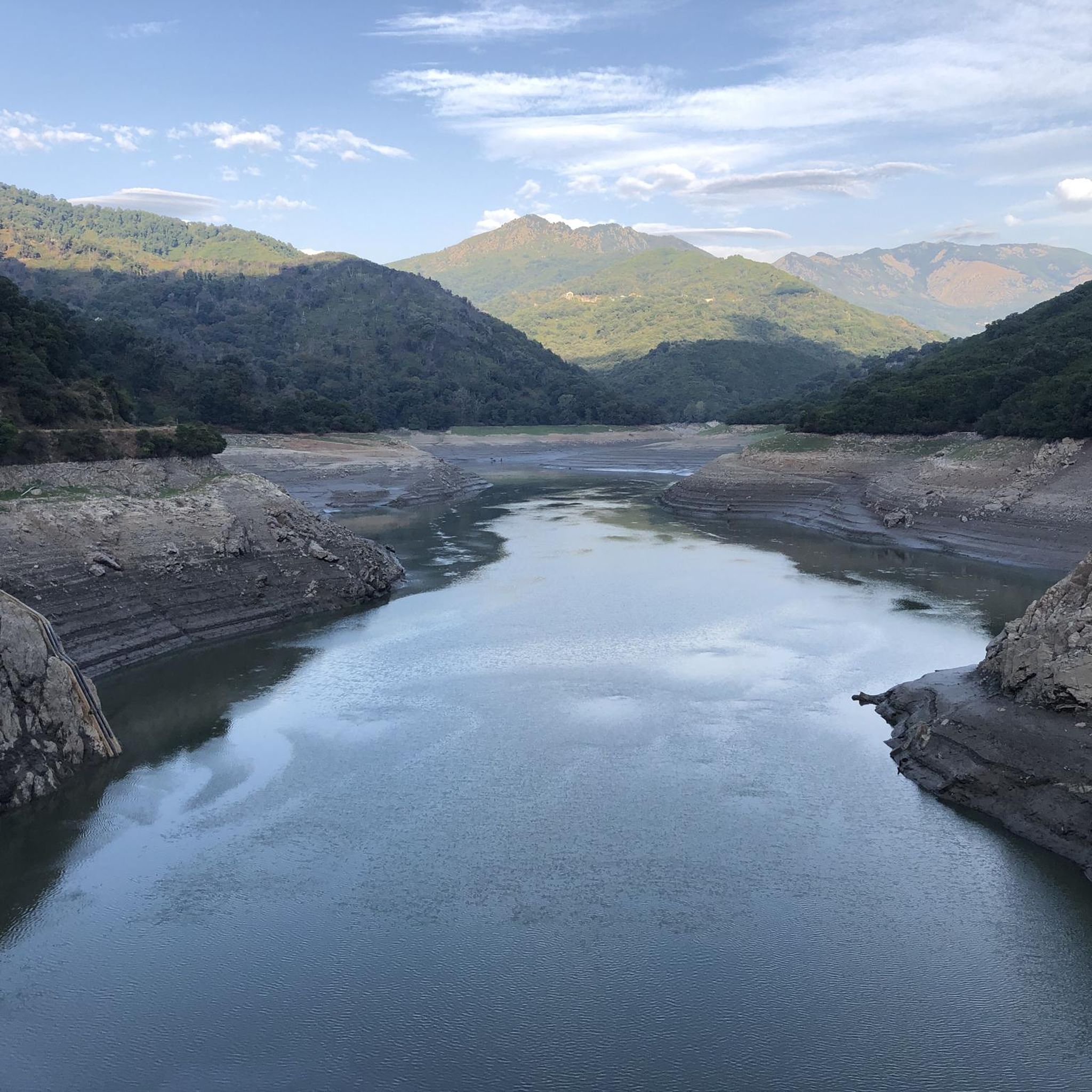
A large reservoir. Goats roam freely around the outside.
1
0

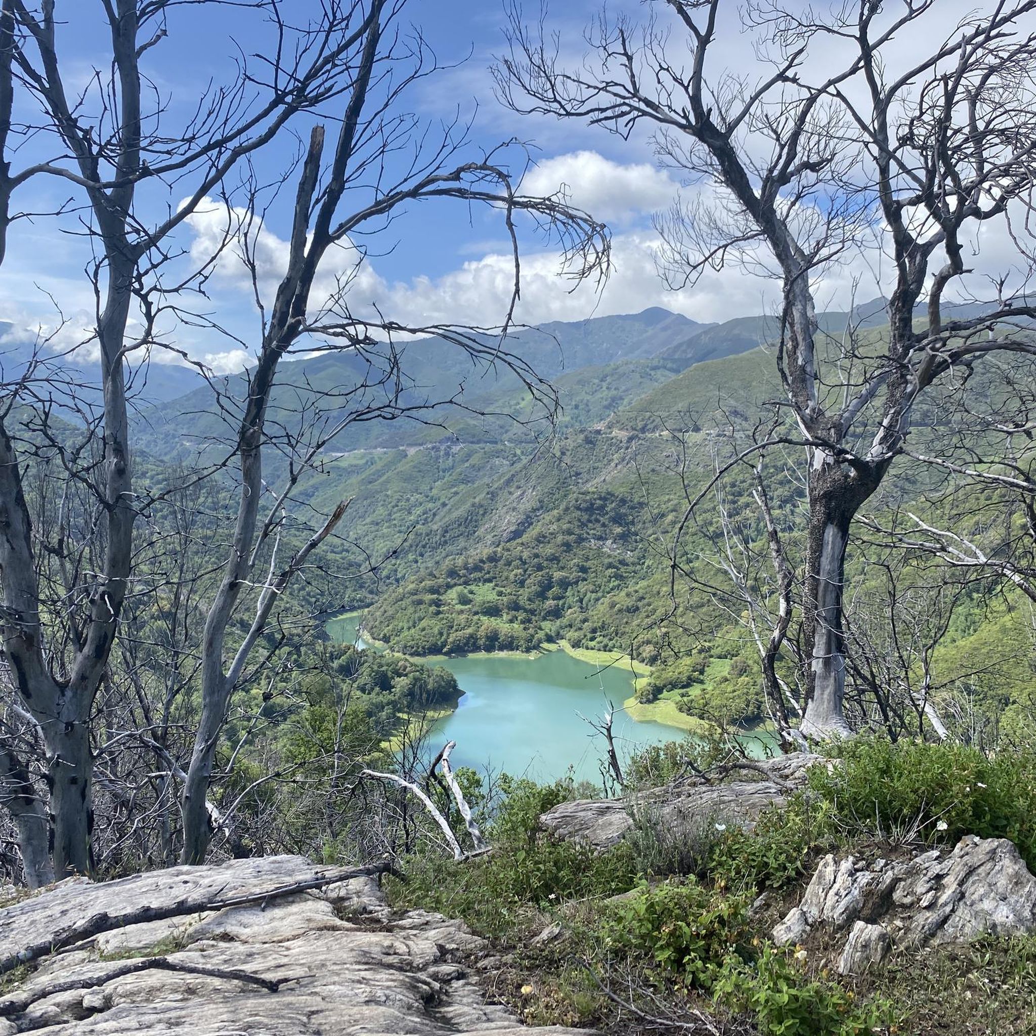
Embark on an adventure on this 4.2km out and back trail near Cervione, Haute-Corse. The route is generally rated as moderate and can be completed in most areas in 2h 7m. This is a popular trail for birdwatching and walking, but you can also enjoy some solitude at quieter times of the day. The best time to go is March to November. Dogs are welcome and can be let off-leash in some areas.
1
0
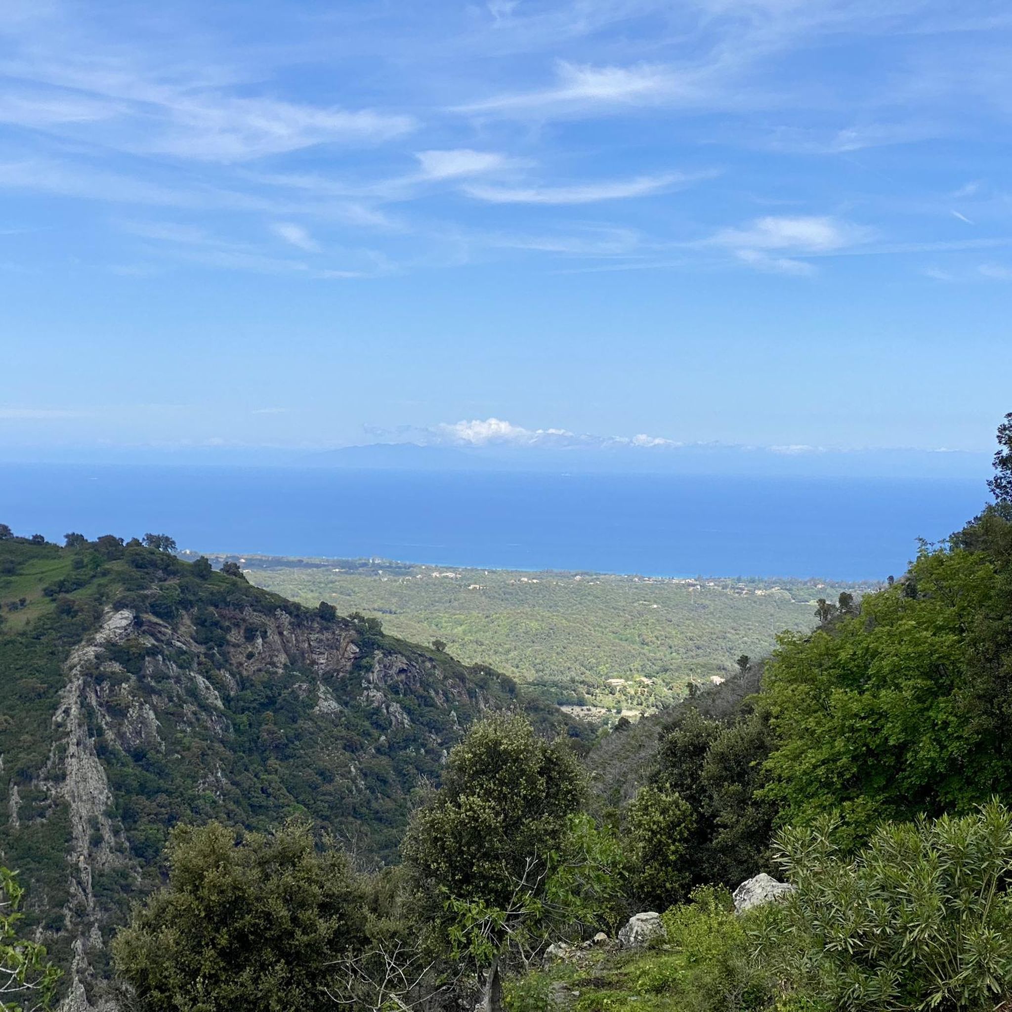
Cervione, situated at over 300 m above sea level on the slopes of Monte Castello with great views, is a large and very lively place. There is always something going on, especially on the main road (Traversa) with its cafes and a few small shops. If you sit in front of one of the bars, you can see paragliders taking off from the Chapel of the Madonna and flying down into the plain when the weather is good. A short hike leads up to the striking viewpoint with the cross (632 m). It takes 1.5 hours there and back from the village center. A circular hike is also possible. Both are described in the hiking section. The view of the plain, the village of Cervione and the islands of Elba and Monte Cristo is beautiful!
1
0
Embark on an adventure on this 4.2km out and back trail near Cervione, Haute-Corse. The route is generally rated as moderate and can be completed in most areas in 2h 7m. This is a popular trail for birdwatching and walking, but you can also enjoy some solitude at quieter times of the day. The best time to visit is March to November. Dogs are welcome and can be let off-leash in some areas.
1
1
Cervione, situated at over 300 m above sea level on the slopes of Monte Castello with great views, is a large and very lively place. There is always something going on, especially on the main road (Traversa) with its cafes and a few small shops. If you sit in front of one of the bars, you can see paragliders taking off from the Chapel of the Madonna and flying down into the plain when the weather is good. A short hike leads up to the striking viewpoint with the cross (632 m). It takes 1.5 hours there and back from the village center. A circular hike is also possible. Both are described in the hiking section. The view of the plain, the village of Cervione and the islands of Elba and Monte Cristo is beautiful!
1
0
ピエトラ-ディ-ヴェルデでのの人気観光スポット

komootモバイルアプリでインスピレーションを得よう


さらに探索
他の地域の最高のハイキングを見てみましょう。
