ピアゾレのおすすめウォーキング&ハイキングルート
4.4
(2298)
8,239
ハイカー
125
ハイキング
ピアゾレ周辺でのハイキングは、景色を満喫するのに最適な手段のひとつですが、適切なハイキングルートを見つけることは簡単ではありません。 ピアゾレ周辺の人気ハイキング&ウォーキングコースを参考にすれば、行きたいルートをすぐに見つけられます。
最終更新日: 10月 29, 2026
4.6
(35)
138
ハイカー
7.43km
02:13
230m
230m
中程度のハイキング. ある程度のフィットネスレベルが必要です。 歩きやすい道です。
4.5
(57)
196
ハイカー
6.08km
01:48
190m
190m
初級者向けハイキング. 歩きやすい道です。

4.9
(40)
139
ハイカー
15.2km
05:59
1,030m
1,030m
難しいハイキング. 標準以上のフィットネスレベルが必要です。 ほとんどが歩ける道です。足元への注意が必要です。
4.7
(7)
23
ハイカー
21.8km
08:50
1,450m
1,450m
難しいハイキング. 標準以上のフィットネスレベルが必要です。 ほとんどが歩ける道です。足元への注意が必要です。
4.3
(6)
19
ハイカー
7.67km
02:20
270m
270m
中程度のハイキング. ある程度のフィットネスレベルが必要です。 歩きやすい道です。
さらに多くのルートや他のユーザーのおすすめ情報を確認できます。
すでにアカウントをお持ちですか?
おすすめのツアーは他のkomootユーザーが実際に経験した何千ものアクティビティに基づいています。
無料アカウントで今日から始めよう
次の冒険が待っています。
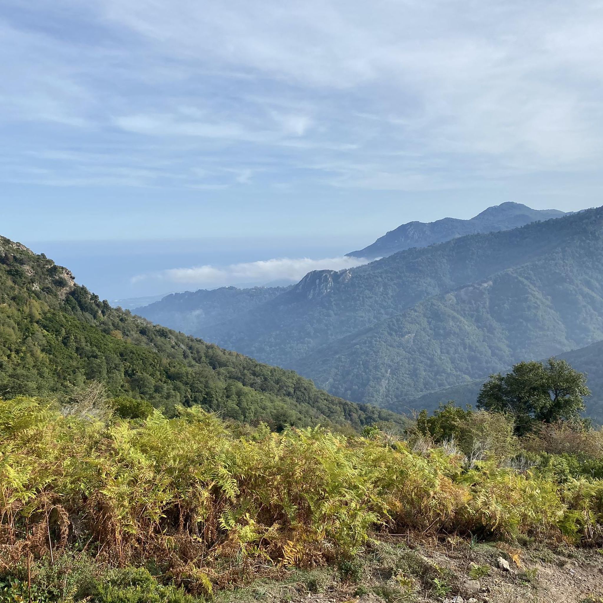
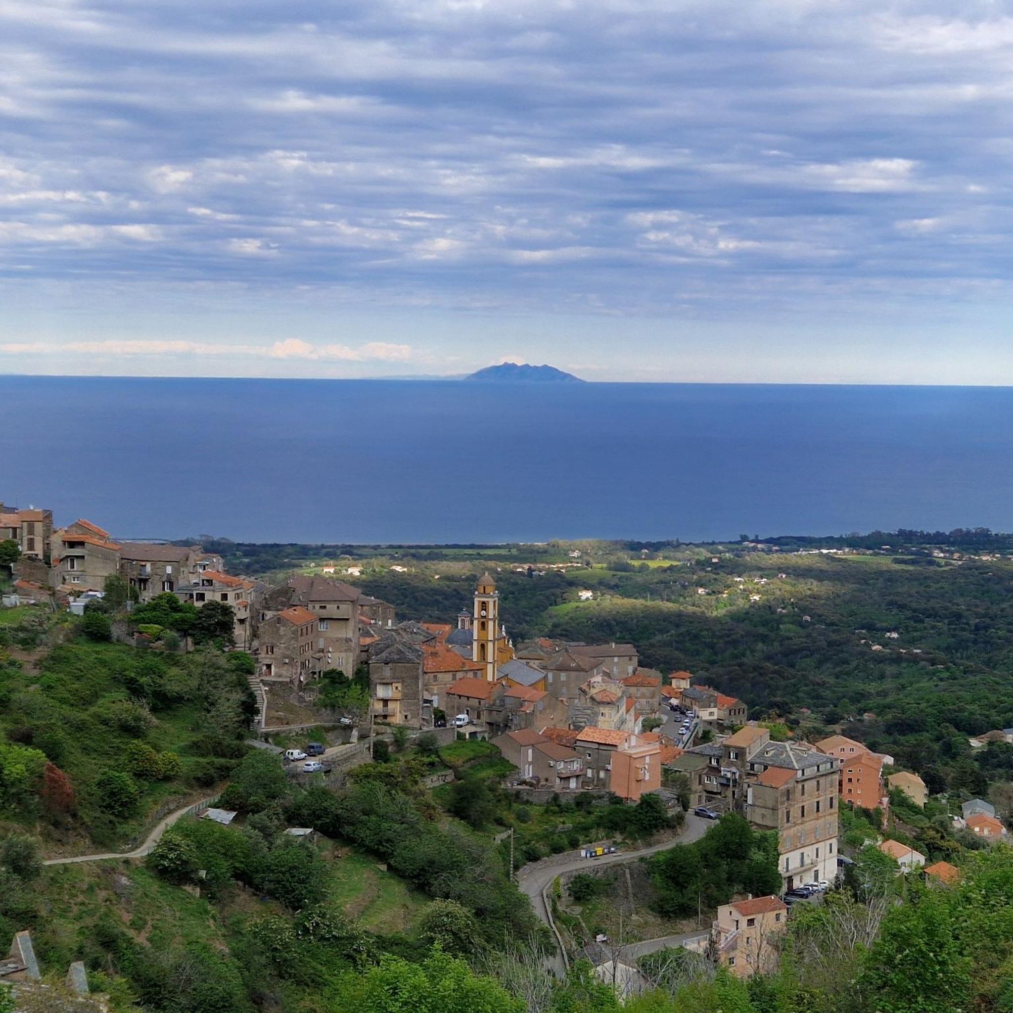

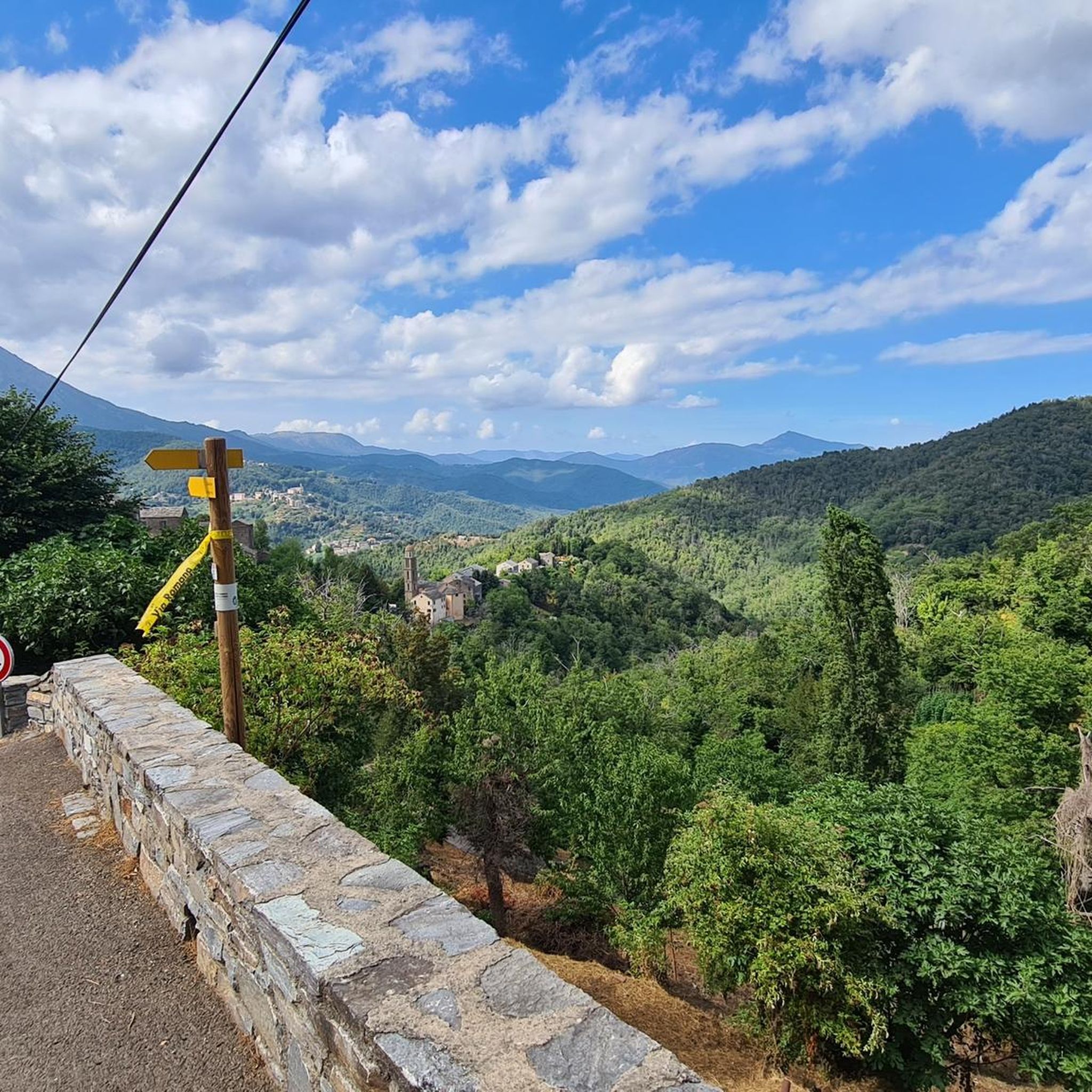
コミュニティからのヒント

注意:ハイキング中、Googleマップで誤ったアクセスルートが提案されます。出発点は「林道」の真ん中にあり、Salicetoからはアクセスできません。Salicetoの道(アクセスルート通り)は門と鍵で閉ざされています。D71からD639を通るルートは価値がありました(Gavignanoまで続いています)。風景や村々の素晴らしい景色が楽しめます。
0
0


The ruins can only be viewed from the outside; everything is fenced off and entry is prohibited.
0
0

Here you can cool off and grill if you want. A nice break place.
0
0
It's definitely worth a detour, it's almost an LP. And if you are careful you can explore one or the other room, which of course should be well thought out because of the risk of collapse.
1
0
Nice place to take a break right on the "tourist highway" on the way to the waterfall with a fantastic view of it.
0
0
A small fountain to cool off before or after the waterfall, depending on where you are coming from.
0
0
ピアゾレでのの人気観光スポット

komootモバイルアプリでインスピレーションを得よう


さらに探索
他の地域の最高のハイキングを見てみましょう。
