フォントラビウスの峠・トップ9
風景を楽しんだり、上りや下りを満喫したり、峠には楽しみ方がたくさんあります。フォントラビウスの素晴らしい峠の一覧を参照して、思い出に残るアドベンチャーに出かけましょう。コミュニティのメンバーがコミュニティのために投稿した峠のハイライトは、他のユーザーが実際におすすめする情報なので、どれも信頼できるものです。気に入った峠にさっそく向かってみましょう。
最終更新日: 10月 13, 2026
コル・ド・パイエール
ハイライト • 山道
翻訳者 Google •
役立つ情報 は

コル・ド・ラ・クレウ
ハイライト • 山道
翻訳者 Google •
役立つ情報 は

今すぐサインアップして、こんな場所を発見しよう
最高のシングルトラック、ピーク、その他のエキサイティングなアウトドアスポットのおすすめを受け取ろう。
コル・デ・コマ・ダニェル
ハイライト • 山道
Historically, the pass has long served as a …
翻訳者 Google •
役立つ情報 は

コル・ド・パイエール(標高2000m)
ハイライト • 山道
翻訳者 Google •
役立つ情報 は

ジュエル峠(標高1,500 m)
ハイライト • 山道
翻訳者 Google •
役立つ情報 は

無料でサインアップして、さらに多くの山道を発見しましょう フォントラビウスでの。
すでにアカウントをお持ちですか?
無料アカウントで今日から始めよう
次の冒険が待っています。


コミュニティからのヒント

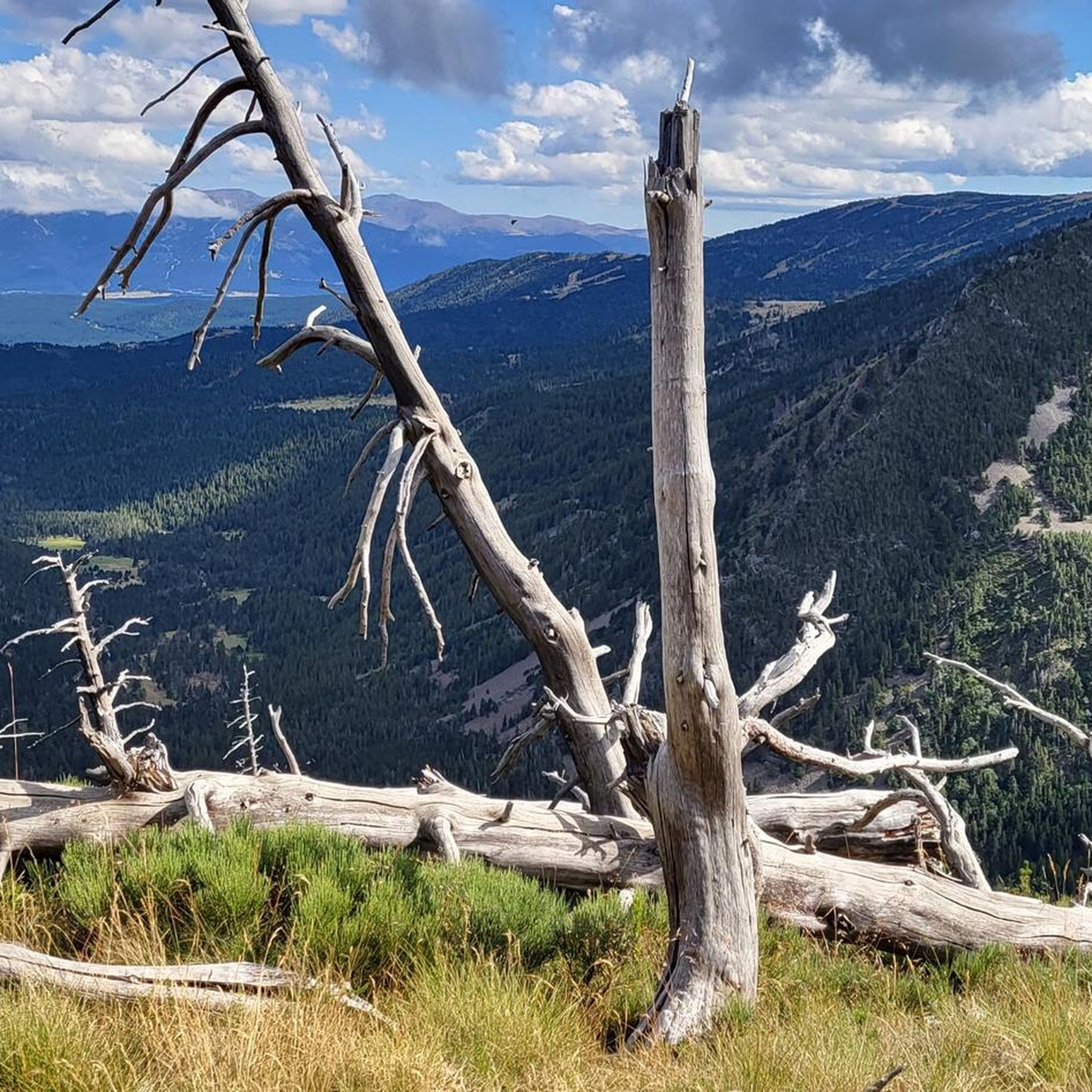
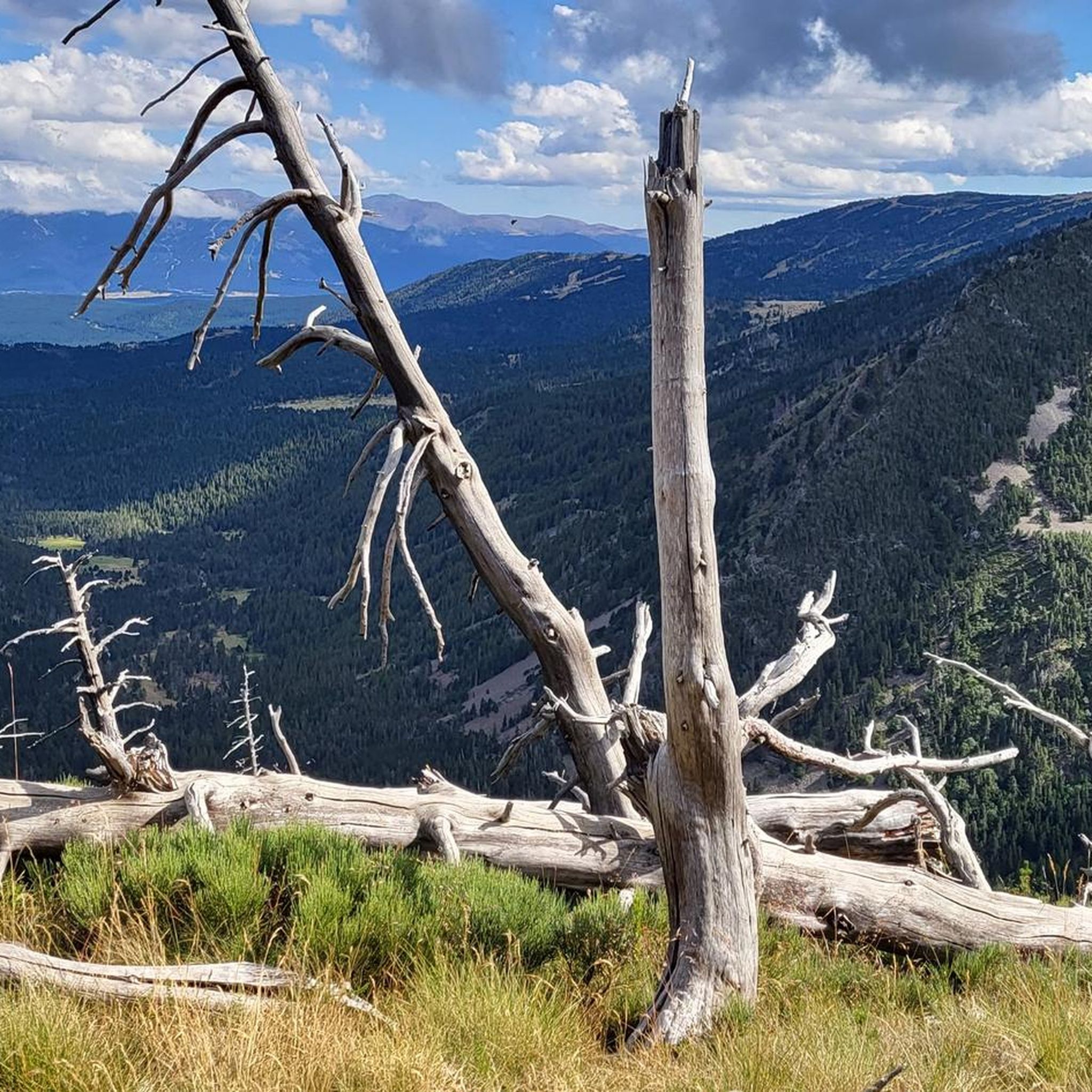
素晴らしい峠、6月中旬には、登って滑るための雪原がたくさんあります。周囲の素晴らしい眺め、Pic Carlit、Puig Péric、その他の多くの頂上、Lac de Lanoux、Lac d'En Beys(峠のすぐ前の山の斜面)、そしてHospitalet-près-l'Andorre方面の谷へ。
0
0

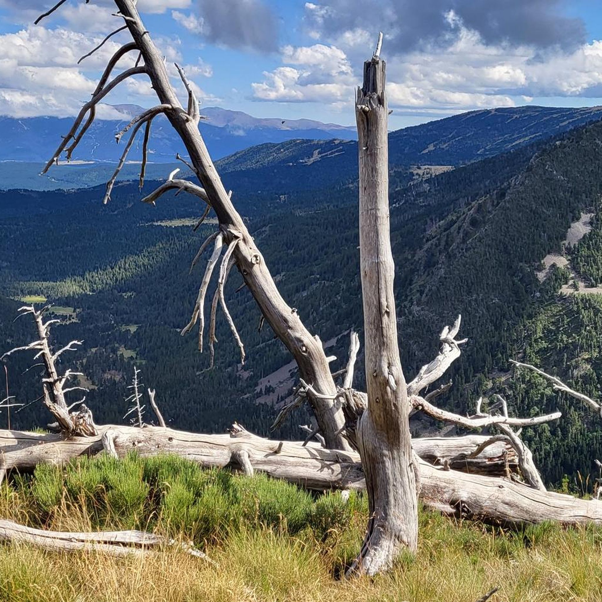
It is a small elevation that allows you to connect Railleu and Caudiès-de-Conflent with Aiguatèbia in the most direct way possible. The road is very narrow although it has been recently paved and the asphalt is simply perfect. On the Aiguatèbia slope it is approximately 3 km very hard, although with wonderful views of the valley. You can not lose this!
1
0
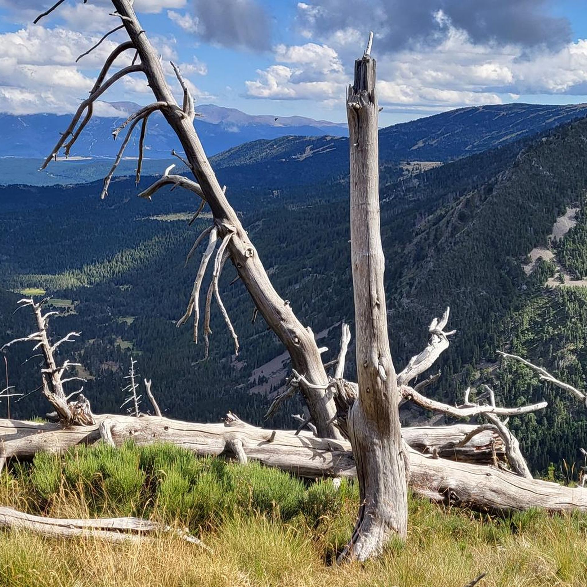
It is a simply spectacular port that unites the regions of Conflent and Capcir. It is one of the most beautiful ports in the easternmost Pyrenees. It is very close to the Col de la Llosa, and you can take a circular route that is known as the "Route des Cols". It is also indicated on nearby road signs. The hardest slope is the one that begins in Olette (Conflent) and goes up through Aiguatèbia. There are almost 22 km of ascent and 1,089 meters of elevation gain. It has 3 very different zones: (1) the first is a constant 5 km at 7%; (2) the second is 10 km at 4% and with some very pleasant rest areas, with beautiful views; (3) The final part is 6 km on average at 7%, since it passes the town of Railleu, although the hard part is the last 3 km, with several ramps that exceed 10%. The road is narrow and has uneven asphalt, with hardly any cars and motorcycles. For me, the final part of this port is truly spectacular and should not be missed. The west slope begins in the town of Matamala (Capcir) and is 3 km with an average of close to 8%. It is a long irregular stretch along a narrow and very quiet road, with panoramic views of the valley when the thick black pine forest gives some opportunity.
0
0

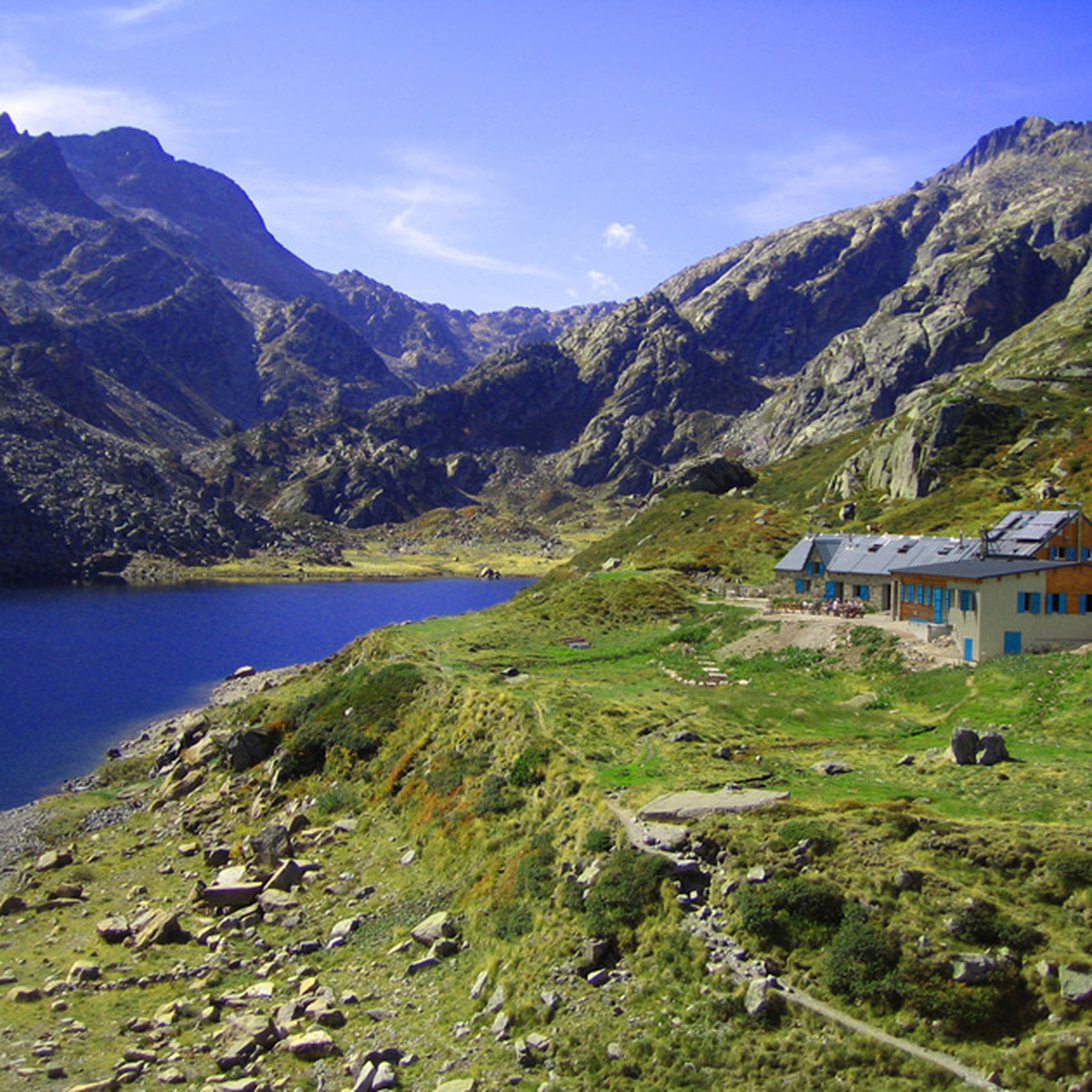
A little disappointing: the pass is in the middle of the forest and offers no view. The climb from (and to!) Railleu is nevertheless superb. A nice picnic area to have a bite to eat.
1
0

One of the best experiences on my entire tour. I have this picture with the view of the mountains as my screen background. The roads are still closed, the snow is piled up meters high on the sides and at the same time there is not a single car on the road. Simply fantastic
1
0

Here you can barely reach the 2000m altitude. The area is wonderful
0
0
I have visited the Col de Pailhères on several occasions and in all seasons of the year. In summer it is very common to find cows, horses and sheep at the top. It is an enigmatic and wonderful port. It is very hard on both sides since it has many kilometers with a slope greater than 10%. It is one of my Top-10 in the Pyrenees. I leave you the link with its altimetry prepared by @cyclingcols --> http://www.cyclingcols.com/col/Pailheres
0
0

if you have the legs go up to sansa before
1
0
フォントラビウスでのの人気観光スポット

komootモバイルアプリでインスピレーションを得よう


さらに探索
これらのガイドでさらに壮大な山道を見てみましょうフォントラビウスでの:
