フィラの峠・トップ7
風景を楽しんだり、上りや下りを満喫したり、峠には楽しみ方がたくさんあります。フィラの素晴らしい峠の一覧を参照して、思い出に残るアドベンチャーに出かけましょう。コミュニティのメンバーがコミュニティのために投稿した峠のハイライトは、他のユーザーが実際におすすめする情報なので、どれも信頼できるものです。気に入った峠にさっそく向かってみましょう。
最終更新日: 8月 20, 2026
コル・ド・ジュ
ハイライト • 山道
翻訳者 Google •
役立つ情報 は

マンテ峠
ハイライト • 山道
翻訳者 Google •
役立つ情報 は

今すぐサインアップして、こんな場所を発見しよう
最高のシングルトラック、ピーク、その他のエキサイティングなアウトドアスポットのおすすめを受け取ろう。
無料新規登録
Pla Guillem
ハイライト • 展望台
翻訳者 Google •
役立つ情報 は

ヴォルト峠
ハイライト • 山道
翻訳者 Google •
役立つ情報 は

コル・ド・ミレール(842m)
ハイライト • 山道
翻訳者 Google •
役立つ情報 は

無料でサインアップして、さらに多くの山道を発見しましょう フィラでの。
無料新規登録
すでにアカウントをお持ちですか?
無料アカウントで今日から始めよう
次の冒険が待っています。
ログインまたは登録

コミュニティからのヒント

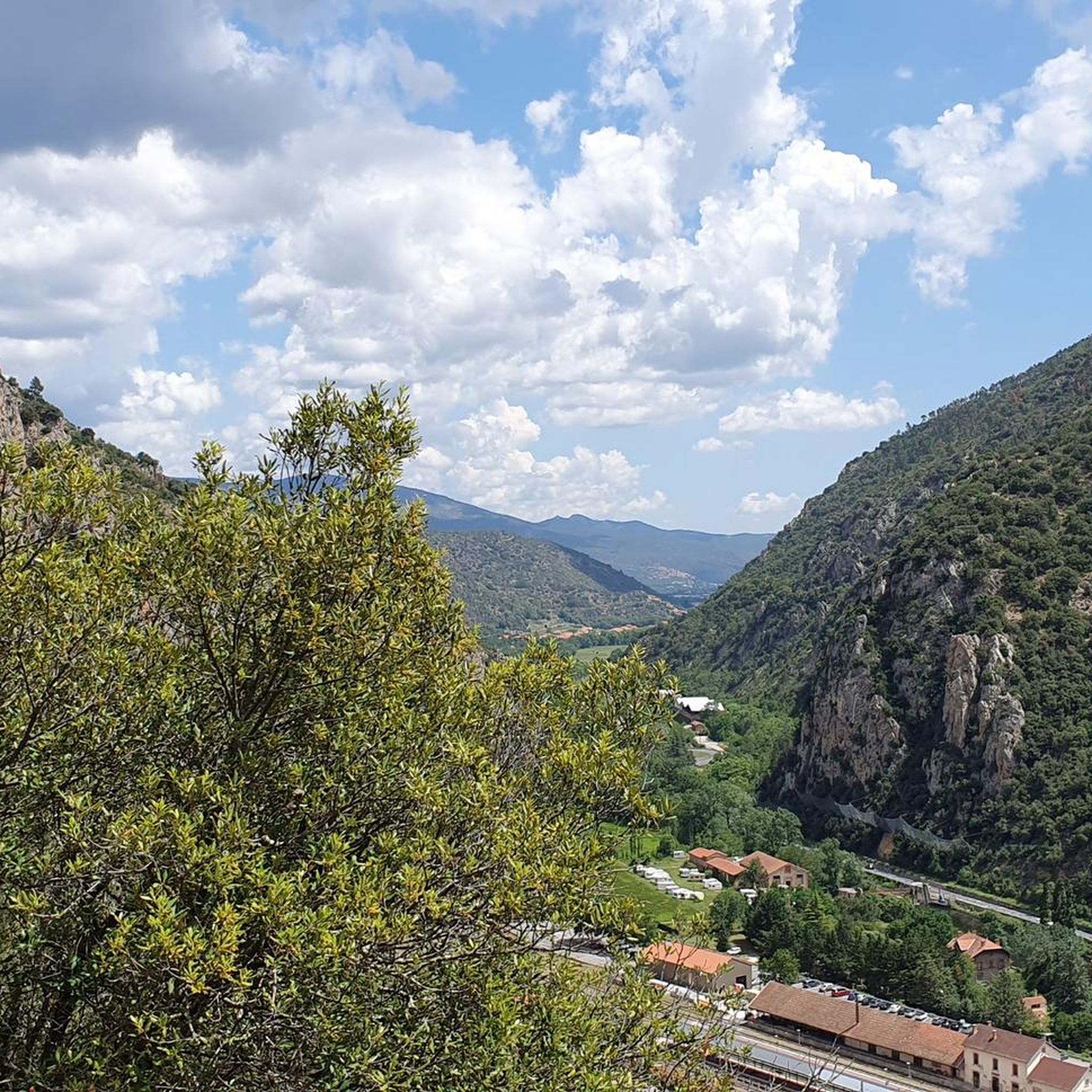
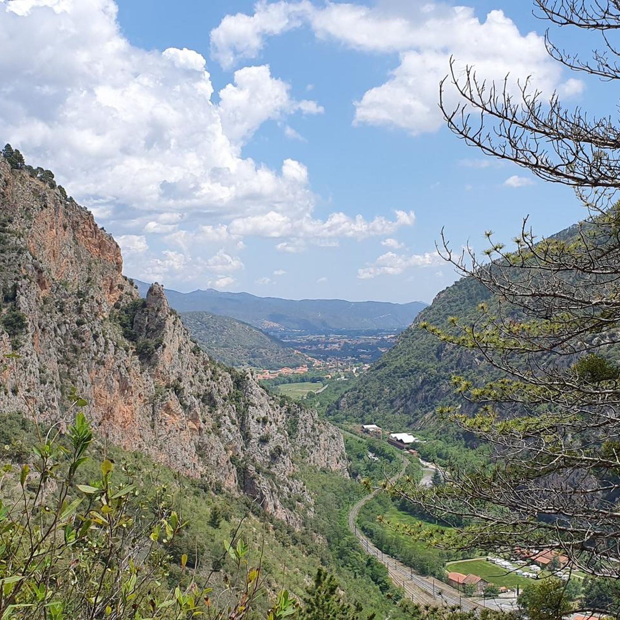
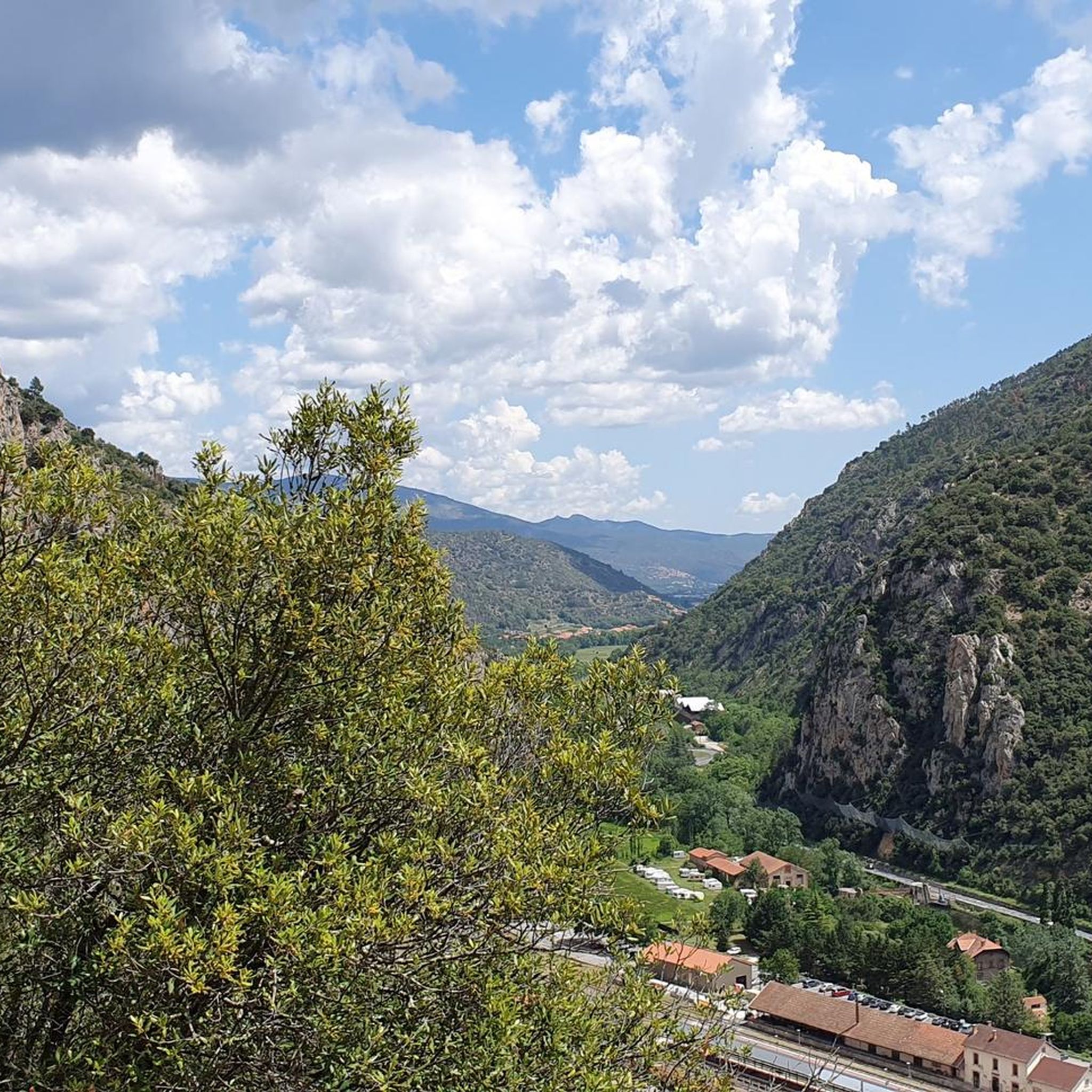
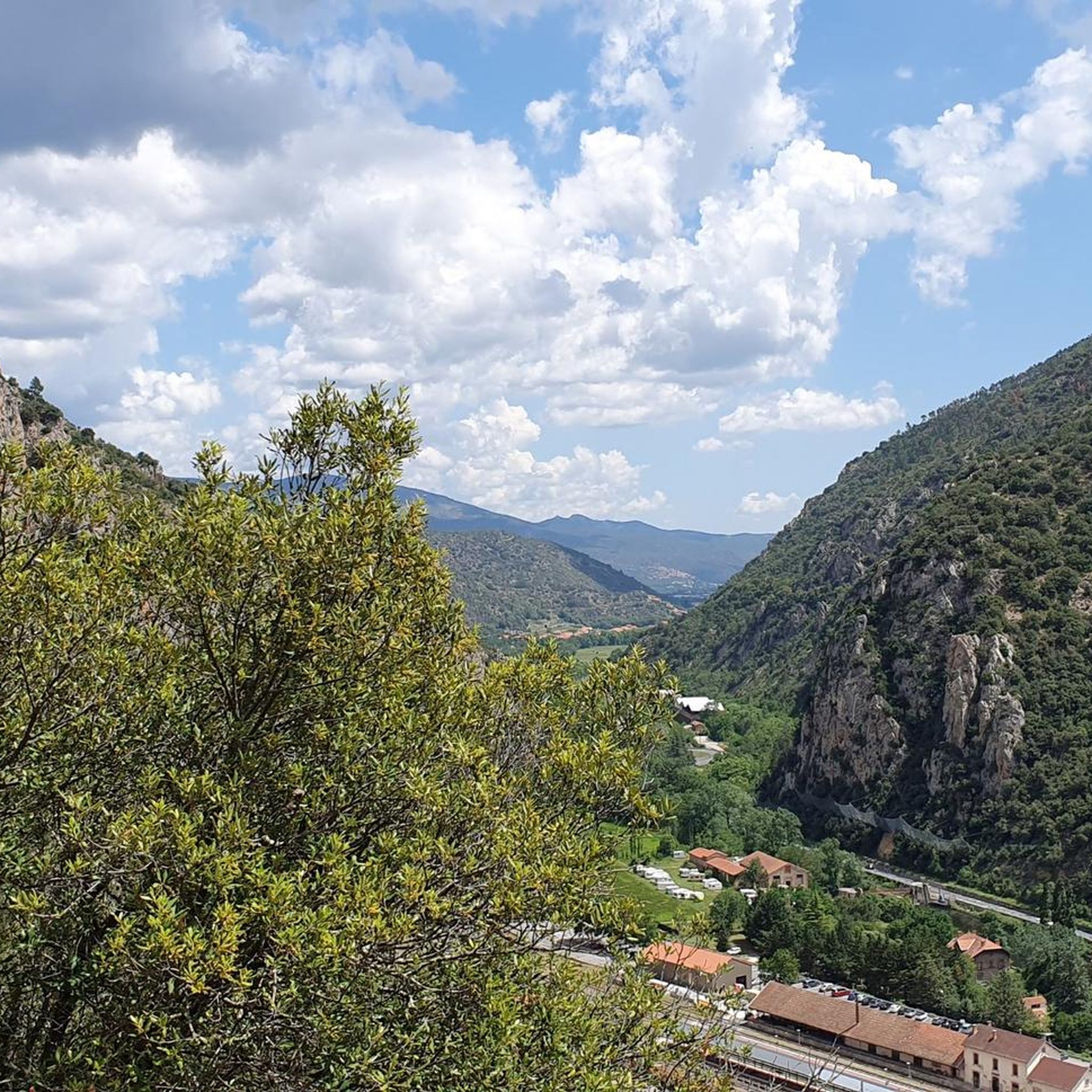
Instantly enchanted by the beautiful views over the valleys and the surrounding mountains that are offered here.
14
0
The Col de Jou from Villefranche de Conflent is a climb in the French Pyrenees. This climb is 11.4 kilometers long and has a positive elevation gain of 687 meters. The Col de Jou from Villefranche de Conflent has an average gradient of 6%.
15
0

A fairly difficult hike all the same for an occasional hiker because of the very rough ground and many steps. We tend to believe that we are marking time on the spot. Hiking equipment and water are essential. The descent is just as challenging. 960m of D+ Constant. Breathtaking viewpoint
0
0

Col des Voltes From here it is another 3 km to the refuge des Cortalets
1
0

Return to the road going down (rocky then forest track) from the Col des Roques Blanches.
2
0

The Col de Jou peaks at an altitude of 1,125 meters. It is a well-known rallying point for local hikers. Indeed, the GR 10 passes through there, and it is the starting point for many hikes including the one that connects Canigou peak.
1
0

High point between Conflent and Vallespir. Magnificent view that deserves. Possible to descend by the GR or by the 4x4 path towards Prats de Mollo.
1
0

Pla Guillem is 2,290 meters above sea level. It is located on the Canigou tour between the Miriailles refuge and the village of Prats-de-Mollo-la-Prest. There is also a path that leads to a beautiful ridge made up of peaks around 2,700 meters above sea level.
0
0

komootモバイルアプリでインスピレーションを得よう


さらに探索
これらのガイドでさらに壮大な山道を見てみましょうフィラでの:
