ヴィルフランシュ-ド-コンフランの峠・トップ4
フランス、ピレネー=オリエンタル地方にあるヴィルフランシュ=デ=コンフラン周辺の最高の峠は、要塞化された町と自然景観で知られる地域にあります。このエリアは、サイクリング、ハイキング、景色の良いドライブに適した、さまざまな峠を提供しています。地元のカタルーニャの遺産とカニグー山塊の眺めが、この地域の魅力を高めています。これらの峠は、豊かな自然と歴史的な環境の中で多様な体験を提供します。
ヴィルフランシュ=デ=コンフラン周辺の最高の峠
- 最も人気のある峠は、標高1,125メートルのジュ峠です。GR 10が通過し、カニグー山頂へのトレッキングの出発点となっているため、ハイカーの集合場所となっています。
- もう一つの必見スポットは、標高1,838メートルのヴォルテス峠です。この峠は、起伏の多い地面と多くの階段を伴う厳しいハイキングを提供しており、適切なハイキング用具が必要です。
- 訪問者に人気なのは、中級の峠であるミレール峠(標高842m)です。谷や周囲の山々の眺めが良いことで知られています。
- ヴィルフランシュ=デ=コンフランは、挑戦的で中級、そして景色の良い峠で知られています。この地域は、さまざまなアクティビティレベルに対応する、多様な峠を提供しています。
- ヴィルフランシュ=デ=コンフラン周辺の峠は、komootコミュニティに高く評価されており、99件の「いいね!」と34枚の写真が共有されています。
最終更新日: 9月 10, 2026
コル・ド・ジュ
ハイライト • 山道
翻訳者 Google •
役立つ情報 は

ヴォルト峠
ハイライト • 山道
翻訳者 Google •
役立つ情報 は

今すぐサインアップして、こんな場所を発見しよう
最高のシングルトラック、ピーク、その他のエキサイティングなアウトドアスポットのおすすめを受け取ろう。
コル・ド・ミレール(842m)
ハイライト • 山道
翻訳者 Google •
役立つ情報 は

コル・ド・セガレス
ハイライト • 山道
翻訳者 Google •
役立つ情報 は
コル・ド・クレウ 長い登り坂
ハイライト (セグメント) • 山道
翻訳者 Google •
役立つ情報 は

無料アカウントで今日から始めよう
次の冒険が待っています。
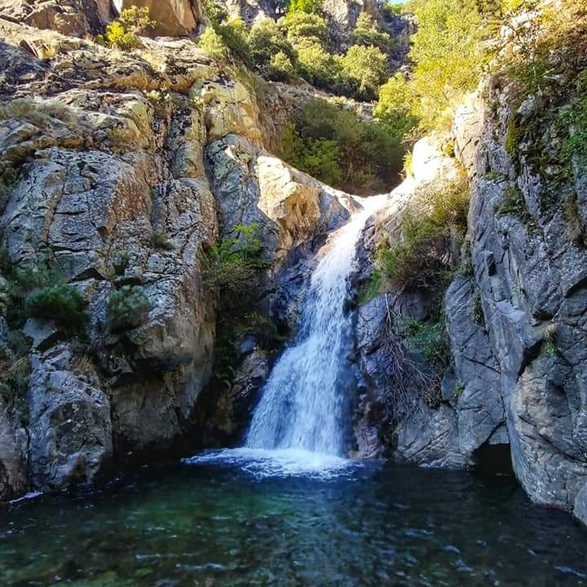
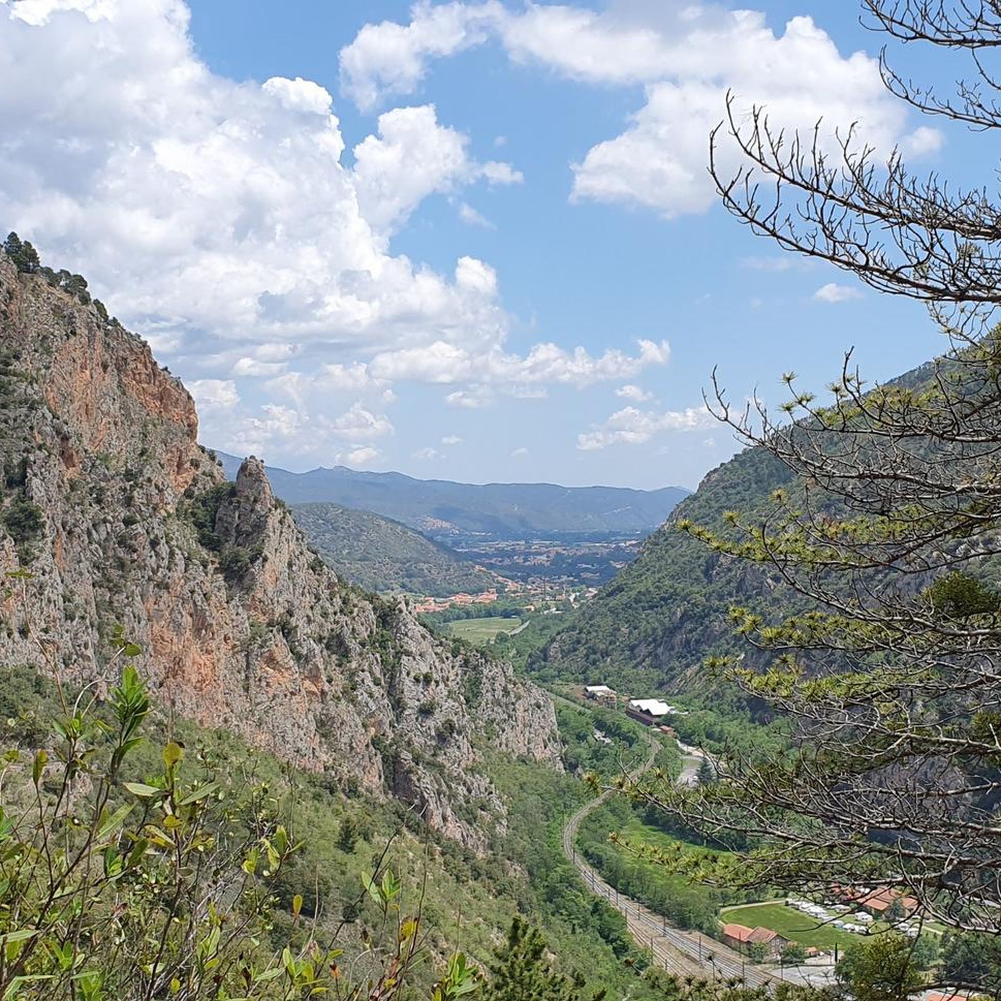
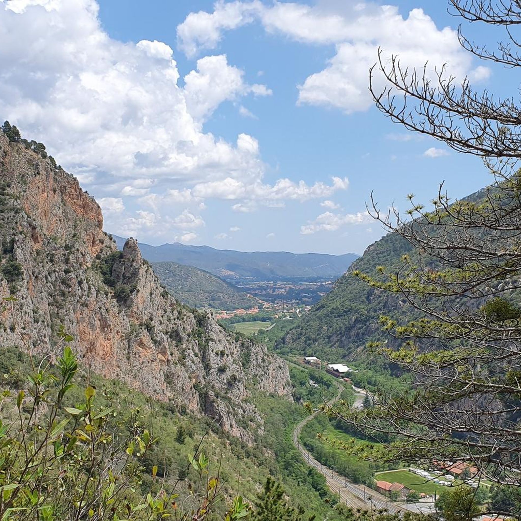
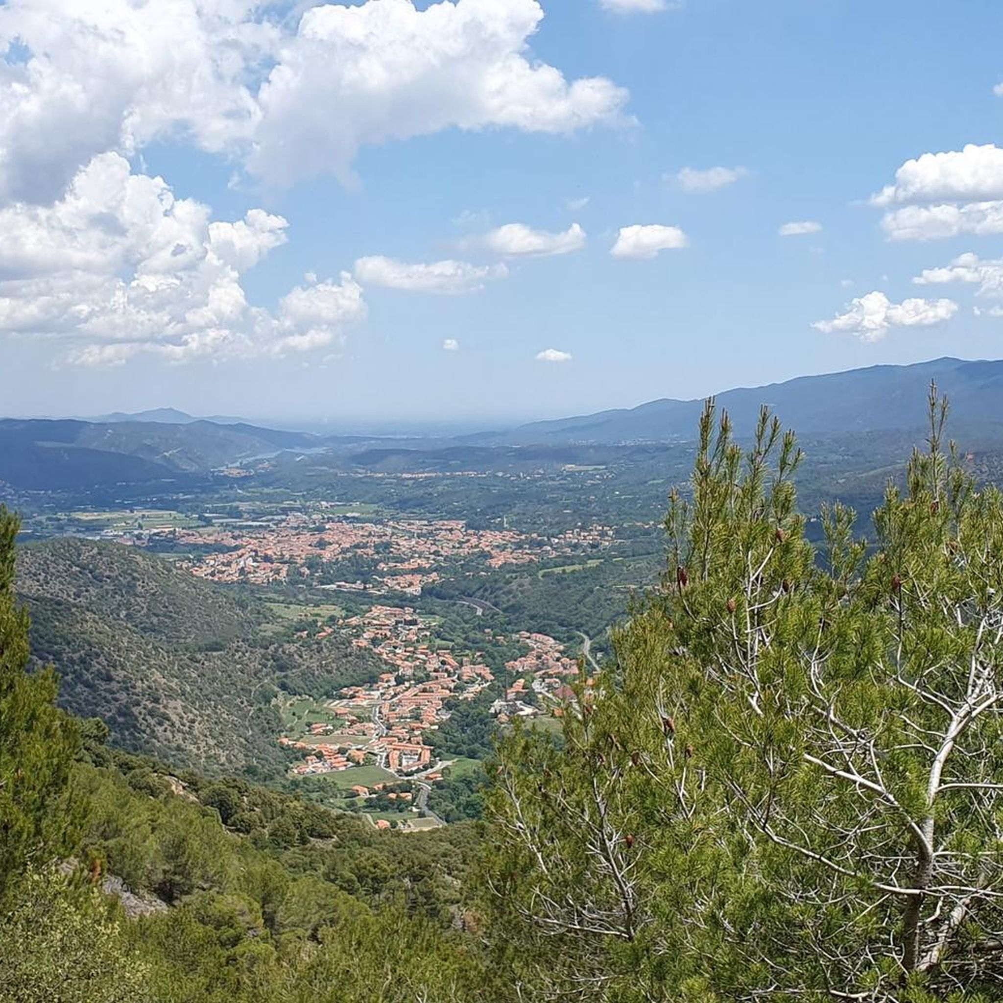

コミュニティからのヒント

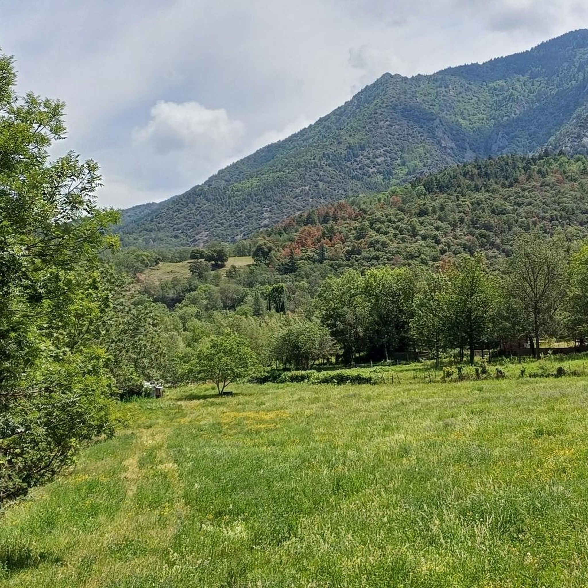
Instantly enchanted by the beautiful views over the valleys and the surrounding mountains that are offered here.
15
0
The Col de Jou from Villefranche de Conflent is a climb in the French Pyrenees. This climb is 11.4 kilometers long and has a positive elevation gain of 687 meters. The Col de Jou from Villefranche de Conflent has an average gradient of 6%.
15
0

A fairly difficult hike all the same for an occasional hiker because of the very rough ground and many steps. We tend to believe that we are marking time on the spot. Hiking equipment and water are essential. The descent is just as challenging. 960m of D+ Constant. Breathtaking viewpoint
1
0

Col des Voltes From here it is another 3 km to the refuge des Cortalets
2
0

A long, slow climb towards the Col de Creu, on a small road on the mountainside overlooking a magnificent deep valley. Be careful, the few trees lining the road for most of the journey (up to Railleu) offer very little shade.
0
0

This walking pass forms what we call a saddle. And we understand why by looking at the map, since it is located at the end of an elongated projection of the massif. It allows you to go back down to the country of Conflent or to continue around the Canigou massif.
0
0
The Col de Jou peaks at an altitude of 1,125 meters. It is a well-known rallying point for local hikers. Indeed, the GR 10 passes through there, and it is the starting point for many hikes including the one that connects Canigou peak.
1
0

The Col de Jou on the route of the GR10 offers very beautiful panoramas.
0
0
よくある質問
カニグー山塊の眺めに最適な景色の良い山道はありますか?
息をのむような景色を楽しむなら、カニグー山頂へのトレッキングの出発点となるジュ峠 (Jou Pass)を検討してみてください。コル・ド・ロック・ジャレール (Col de Roque Jalere) も、その高く乾燥した高原から、雄大なピク・デュ・カニグー (Pic du Canigou) を含む広大な眺めを提供します。
挑戦的なサイクリングルートに最適な山道はどれですか?
コル・ド・マンテ (Col de Mantet) は非常に厳しい登り坂として知られており、伝説的な登坂と比較されることも多く、最大勾配15%、19のヘアピンカーブがあります。コル・ド・ジョー (Col de Jau) も、特にプラデス (Prades) からの厳しい登り坂を提供しており、最後の12kmは平均6.5%を超えます。
長距離トレイルを探しているハイカーに適した山道はありますか?
はい、ジュ峠 (Jou Pass)はGR 10長距離ハイキングトレイルの一部であり、マリアイユ避難小屋 (Mariaille refuge) や神話的なピク・デュ・カニグー (Pic du Canigou) へのルートを含む、地元のハイカーの集合場所となっています。コル・ド・セガール (Col de Segalès)からは、コンフラン地方 (Conflent) へ下ったり、カニグー山塊の周りを周回したりすることもできます。
これらの山道の近くには、どのような歴史的または文化的な見どころがありますか?
コル・ド・ジョー (Col de Jau) の近くでは、シトー会修道院サント・マリー・ド・ジョー (Sainte-Marie de Jau) の遺跡を探索できます。オレット (Olette) からコル・ド・ラ・ペルシュ (Col de la Perche) へのルートは、歴史的な黄色い列車(「トラン・ジャヌ」)のルートに沿っており、その橋やトンネルの眺めは、景観と歴史的な魅力にさらに深みを与えています。
ヴィルフランシュ=デ=コンフラン (Villefranche-De-Conflent) 周辺の山道に行くのに最適な時期はいつですか?
一般的に、ハイキングやサイクリングで山道に行くのに理想的なのは、晩春から初秋(5月から10月)の暖かい時期です。この時期は天候がより安定し、積雪も最小限だからです。コル・ド・マンテ (Col de Mantet) のような一部の峠は、村へのアクセスは通常一年中可能ですが、冬の状況は厳しい場合があります。
山道の中に家族向けのオプションはありますか?
多くの峠は厳しい地形を提供していますが、ヴィルフランシュ=デ=コンフラン (Villefranche-De-Conflent) 周辺地域は多様な体験を提供します。それほどきつくないオプションについては、峠の低い区間や近くのエリアを探索することを検討してください。常に標高の上昇と距離に関する特定のルート詳細を確認し、ご家族の能力に合っていることを確認してください。コル・ド・ミレール (Col de Millères) (842 m)は、谷や周囲の山々の美しい景色を提供しており、極端な困難なしに楽しむことができます。
これらの峠の近くでどのようなアウトドアアクティビティができますか?
峠自体を探索するだけでなく、この地域ではさまざまなアウトドアアクティビティが楽しめます。「Mantet – Mantet Pass loop」や「Roque Jalère Pass – View of Eus loop」のような挑戦的なものを含む、数多くのサイクリングルートがあります。また、「Fort Libéria loop」や「Prehistoric site – Escaliers des Mille Marches loop」のようなランニングトレイルもあります。詳細については、ヴィルフランシュ=ド=コンフラン周辺の交通規制のないサイクリングロード、ヴィルフランシュ=ド=コンフラン周辺のサイクリング、ヴィルフランシュ=ド=コンフラン周辺のランニングトレイルのガイドをご覧ください。
どのような峠が、人里離れた美しさと静けさを感じさせてくれますか?
Col de Mantetは、その挑戦的な性質にもかかわらず、小さな村々を通して人里離れた美しさと静けさを感じさせてくれます。同様に、CatllarからCol de Roque Jalereへのルートは、荒涼としていて、広大なパノラマビューを求める人に最適な、静かなルートとして説明されています。
中級ハイカーやサイクリストに適した峠はありますか?
はい、いくつかの峠が中級に分類されています。Jou Pass、Col de Millères (842 m)、Col de Segalès、Col de Creu Long Ascentはいずれも中級レベルに適したルートがあり、挑戦と達成感の良いバランスを提供しています。
これらの峠の道路状況について、どのような点に注意すべきですか?
道路状況は様々です。例えば、Col de Jauへの道は舗装されていますが、場所によっては少し荒れており、上部は砂利が浮いていることがあります。Col de Mantetを横断するD6道路は、特に狭く、急な崖が保護されていない箇所があります。特にサイクリングの場合は、常に注意を払い、出発前に現地の状況を確認してください。
Voltes Passはなぜ注目すべき目的地なのですか?
Voltes Passは標高1838mにあり、非常に険しい地面と多くの階段がある挑戦的なハイキングコースで、適切なハイキング装備と十分な水が必要です。息をのむような眺望が楽しめ、峠からはRefuge des Cortaletsまでさらに3kmです。
ヴィルフランシュ-ド-コンフランでのの人気観光スポット

komootモバイルアプリでインスピレーションを得よう


さらに探索
これらのガイドでさらに壮大な山道を見てみましょうヴィルフランシュ-ド-コンフランでの:
