フォルミゲールの峠・トップ14
風景を楽しんだり、上りや下りを満喫したり、峠には楽しみ方がたくさんあります。フォルミゲールの素晴らしい峠の一覧を参照して、思い出に残るアドベンチャーに出かけましょう。コミュニティのメンバーがコミュニティのために投稿した峠のハイライトは、他のユーザーが実際におすすめする情報なので、どれも信頼できるものです。気に入った峠にさっそく向かってみましょう。
最終更新日: 8月 20, 2026
コル・ド・パイエール
ハイライト • 山道
翻訳者 Google •
役立つ情報 は

フォンロムのカルヴェール峠
ハイライト • 山道
翻訳者 Google •
役立つ情報 は

今すぐサインアップして、こんな場所を発見しよう
最高のシングルトラック、ピーク、その他のエキサイティングなアウトドアスポットのおすすめを受け取ろう。
無料新規登録
コル・ド・ラ・クレウ
ハイライト • 山道
翻訳者 Google •
役立つ情報 は

コル・ド・ラ・リョーザ
ハイライト • 山道
翻訳者 Google •
役立つ情報 は

ポルテイユ・デ・ベジーヌ峠
ハイライト • 山道
翻訳者 Google •
役立つ情報 は

無料でサインアップして、さらに多くの山道を発見しましょう フォルミゲールでの。
無料新規登録
すでにアカウントをお持ちですか?




コミュニティからのヒント

Well, starting from Font Romeu and breaking legs from Mont Louis
0
0


It is a simply spectacular port that unites the regions of Conflent and Capcir. It is one of the most beautiful ports in the easternmost Pyrenees. It is very close to the Col de la Llosa, and you can take a circular route that is known as the "Route des Cols". It is also indicated on nearby road signs. The hardest slope is the one that begins in Olette (Conflent) and goes up through Aiguatèbia. There are almost 22 km of ascent and 1,089 meters of elevation gain. It has 3 very different zones: (1) the first is a constant 5 km at 7%; (2) the second is 10 km at 4% and with some very pleasant rest areas, with beautiful views; (3) The final part is 6 km on average at 7%, since it passes the town of Railleu, although the hard part is the last 3 km, with several ramps that exceed 10%. The road is narrow and has uneven asphalt, with hardly any cars and motorcycles. For me, the final part of this port is truly spectacular and should not be missed. The west slope begins in the town of Matamala (Capcir) and is 3 km with an average of close to 8%. It is a long irregular stretch along a narrow and very quiet road, with panoramic views of the valley when the thick black pine forest gives some opportunity.
0
0

A little disappointing: the pass is in the middle of the forest and offers no view. The climb from (and to!) Railleu is nevertheless superb. A nice picnic area to have a bite to eat.
1
0

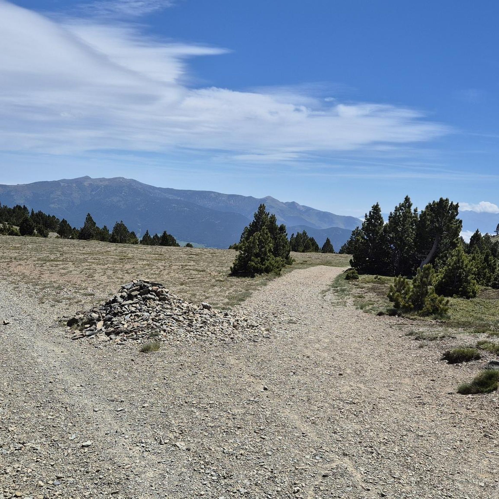
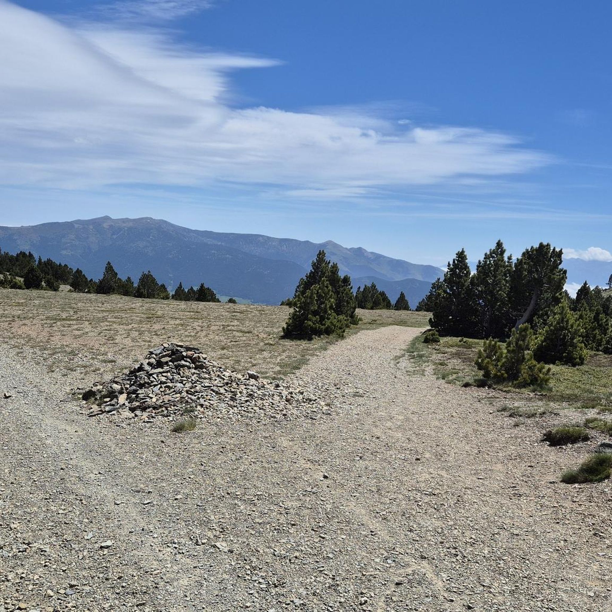
One of the best experiences on my entire tour. I have this picture with the view of the mountains as my screen background. The roads are still closed, the snow is piled up meters high on the sides and at the same time there is not a single car on the road. Simply fantastic
1
0
The Col de la Calvaire de Font Romeu is a mountain pass in French Cerdanya, next to the town and ski resort of Font Romeu. This port connects the Bolquère valley with the Cerdanya valley. The port is within the same town of Font Romeu, next to the station's ski lifts. There are many slopes to reach Col de la Calvaire: - the western slope that starts from Ur is approximately 16 km and crosses the town of Targasone and the Col d'Egat. It is a very steep climb along a road in perfect condition, although on holidays there is a lot of traffic. - The southern slope starts from Llívia and crosses Estavar and joins the previous one at the Col d'Egat. Unlike the first, the first section of the climb is very hard, with several horseshoe curves and with wonderful views of the entire Cerdanya and the Tosa d'Alp. - The eastern slope stops at Olette, and after approximately 28 km it reaches the top of the pass, passing through the town of Mont-Louis and Bolquère. It is a very steep climb, like the first, on a road in perfect condition but with a lot of traffic. I don't like going up here. - the eastern slope that starts from Olette and passes through the Col de la Perche, reaching the town of Font-Romeu and from there to the top. Of all the slopes, the one I like the most is the slope that starts from Llívia and crosses Estavar.
0
0
It is a mandatory port for anyone who wants to visit Upper Cerdanya by bicycle. On the southern slope it is very affordable; However, the charm of this port is on the northern slope, the one that goes up from Olette. It has all the incentives for good cycle tourism.
0
0

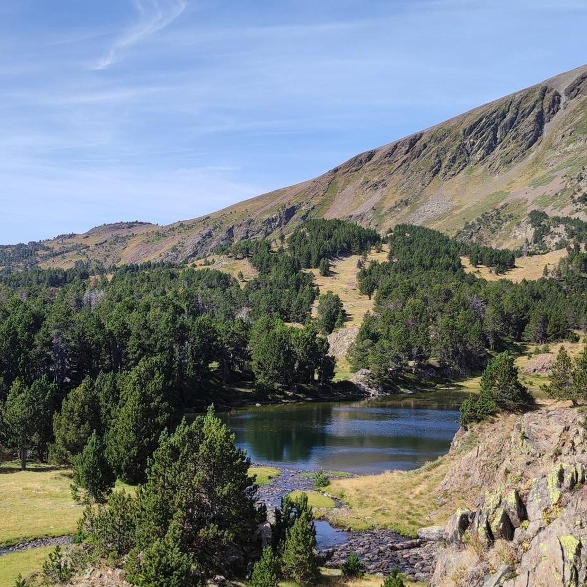
The Porteille of Bésines, a mysterious pass in the depths of the Catalan Pyrenees, tells stories of hikers in search of adventure and silence. Whether you come from the south via the Bésines refuge or from the north via the shimmering Estagnas pond, the path takes you into a world of rugged beauty. The south wall is rougher, as if it had been shaped by centuries of unpredictable weather, while the north wall has a gentler face. And although the climb does not pose any major technical challenges, the moody mountain weather can certainly make the route more demanding. But once you get to the top, it's worth stopping and lingering. The view opens to the gentle peaks of the Catalan Pyrenees Regional Natural Park, which rise majestically. It is as if the mountains in the distance sing a silent melody that touches the heart of every hiker. Every view, every play of light on the peaks tells a story - an invitation to delve even deeper into the heart of this wonderful country.
2
0
フォルミゲールでのの人気観光スポット

komootモバイルアプリでインスピレーションを得よう


さらに探索
これらのガイドでさらに壮大な山道を見てみましょうフォルミゲールでの:
