アラスカのおすすめウォーキング&ハイキングルート
4.7
(787)
9,975
ハイカー
779
ハイキング
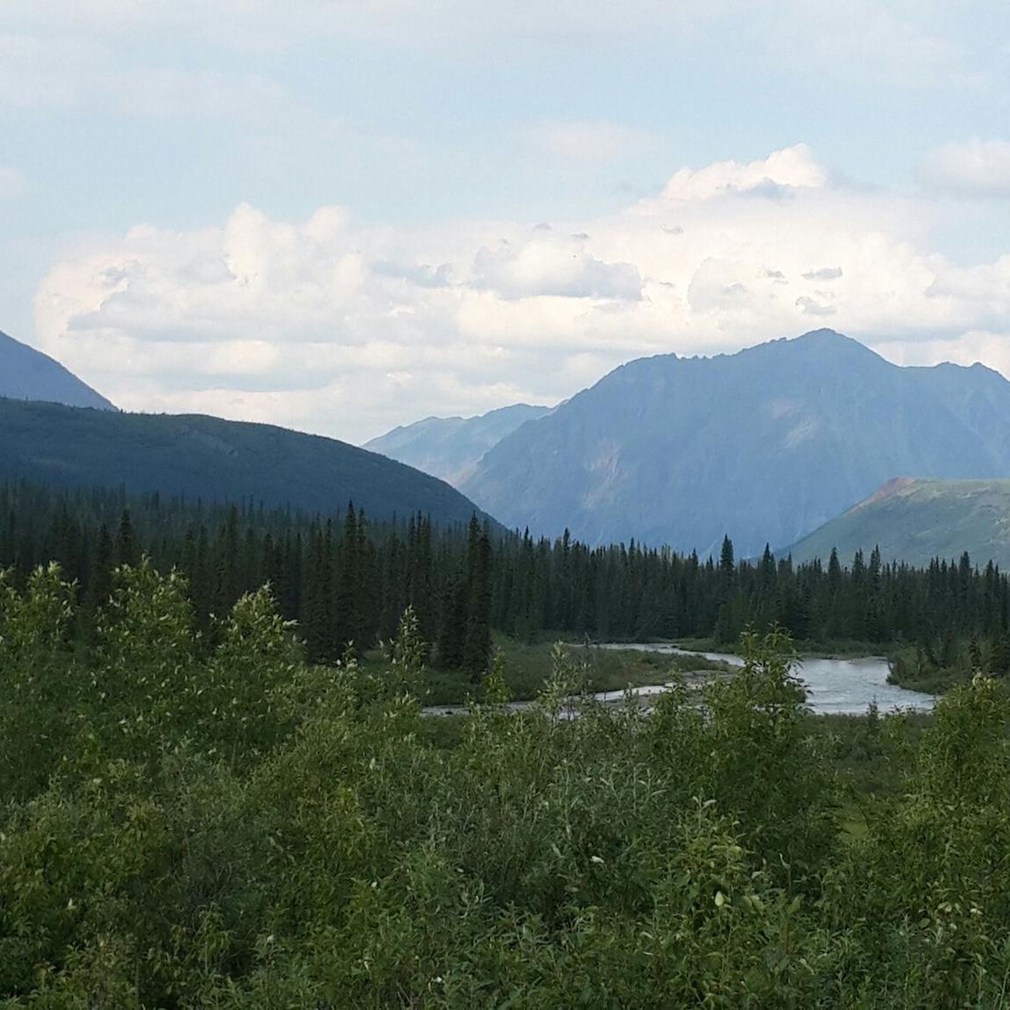
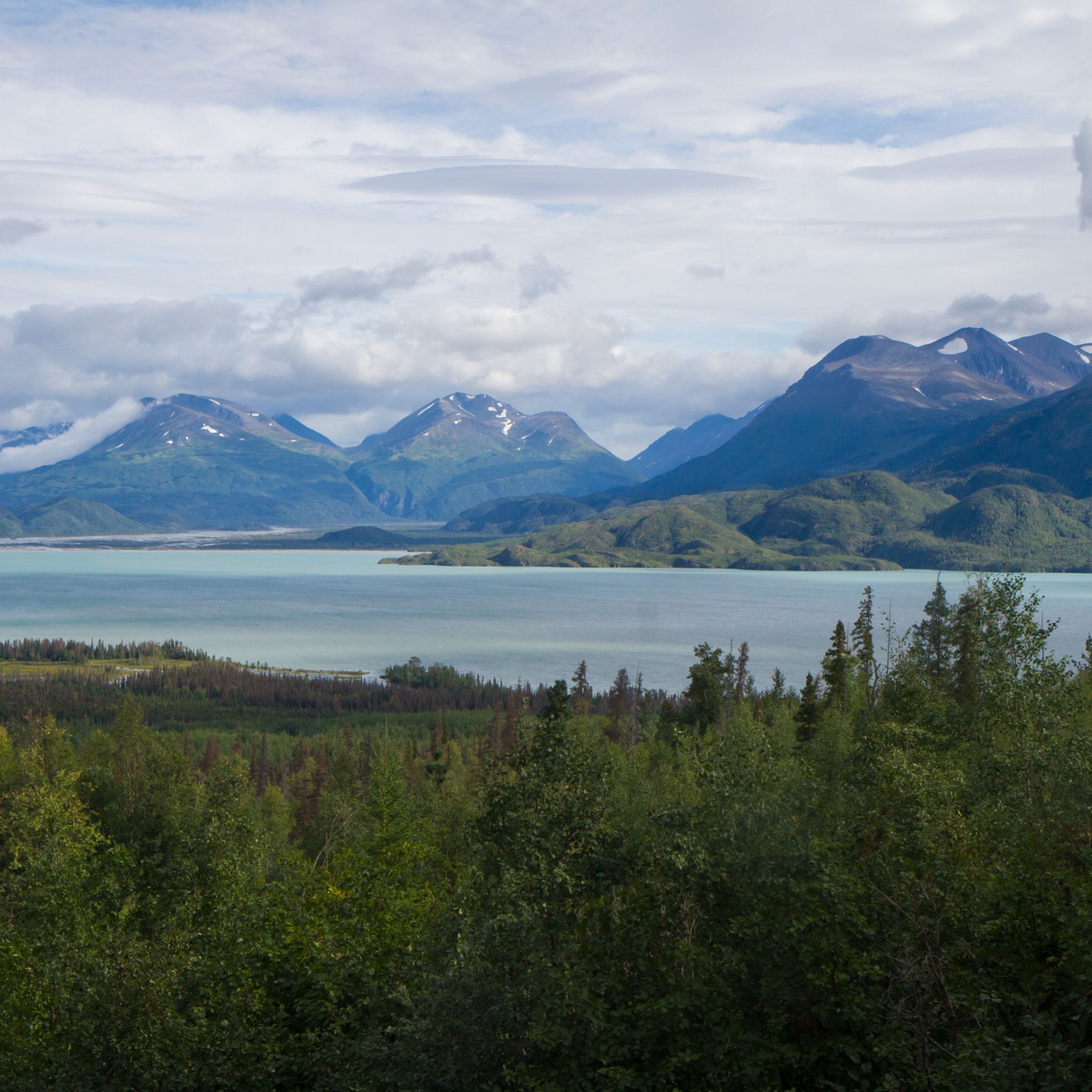
アラスカでのハイキングは、そびえ立つ山々、広大な氷河、そしてドラマチックなフィヨルドを特徴とする広大な荒野へのアクセスを提供します。この景観には、タイガの森、温帯雨林、北極ツンドラが含まれており、アウトドア探検に多様な環境を提供しています。この地域には北米最高峰のデナリがあり、数多くの国立公園や州立公園があります。変化に富んだ地形は、さまざまな生態系にわたる幅広いハイキング体験をサポートしています。
アラスカの最高のハイキングトレイル
- 最も人気のあるハイキングルートは、デナリ国立公園のサベージ・アルパイン・トレイルで、所要時間2時間30分、距離4.5マイル(7.3 km)のトレイルです。この適度な難易度のルートからは、デナリ国立公園内の景色を眺めることができます。
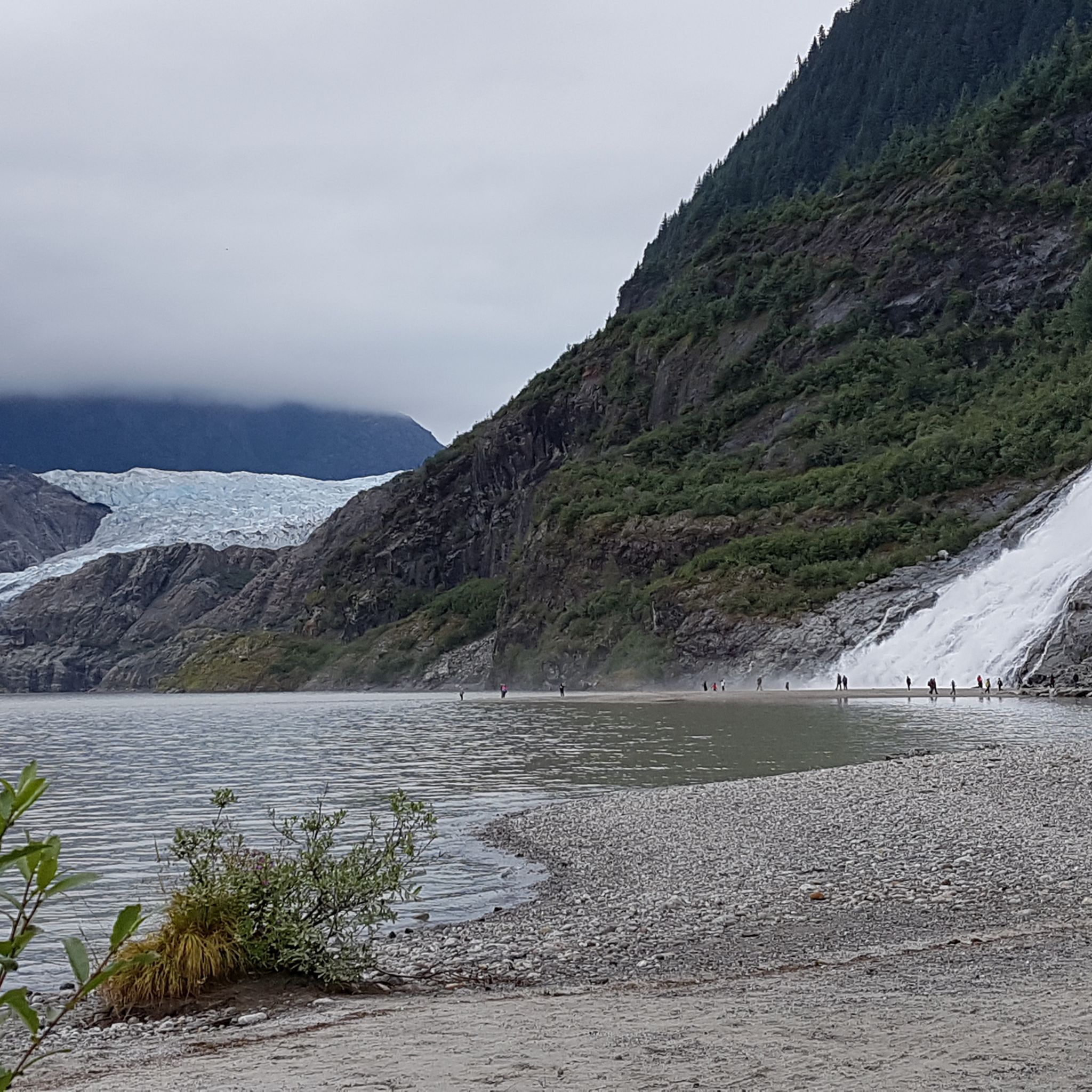
- 地元のハイカーに人気のもう一つのトレイルは、ジュノー、アラスカのナゲット滝で、所要時間2時間、距離2.3マイル(3.7 km)の簡単なトレイルです。このトレイルからは、メンデンホール氷河の近くにあるナゲット滝を間近で見ることができます。
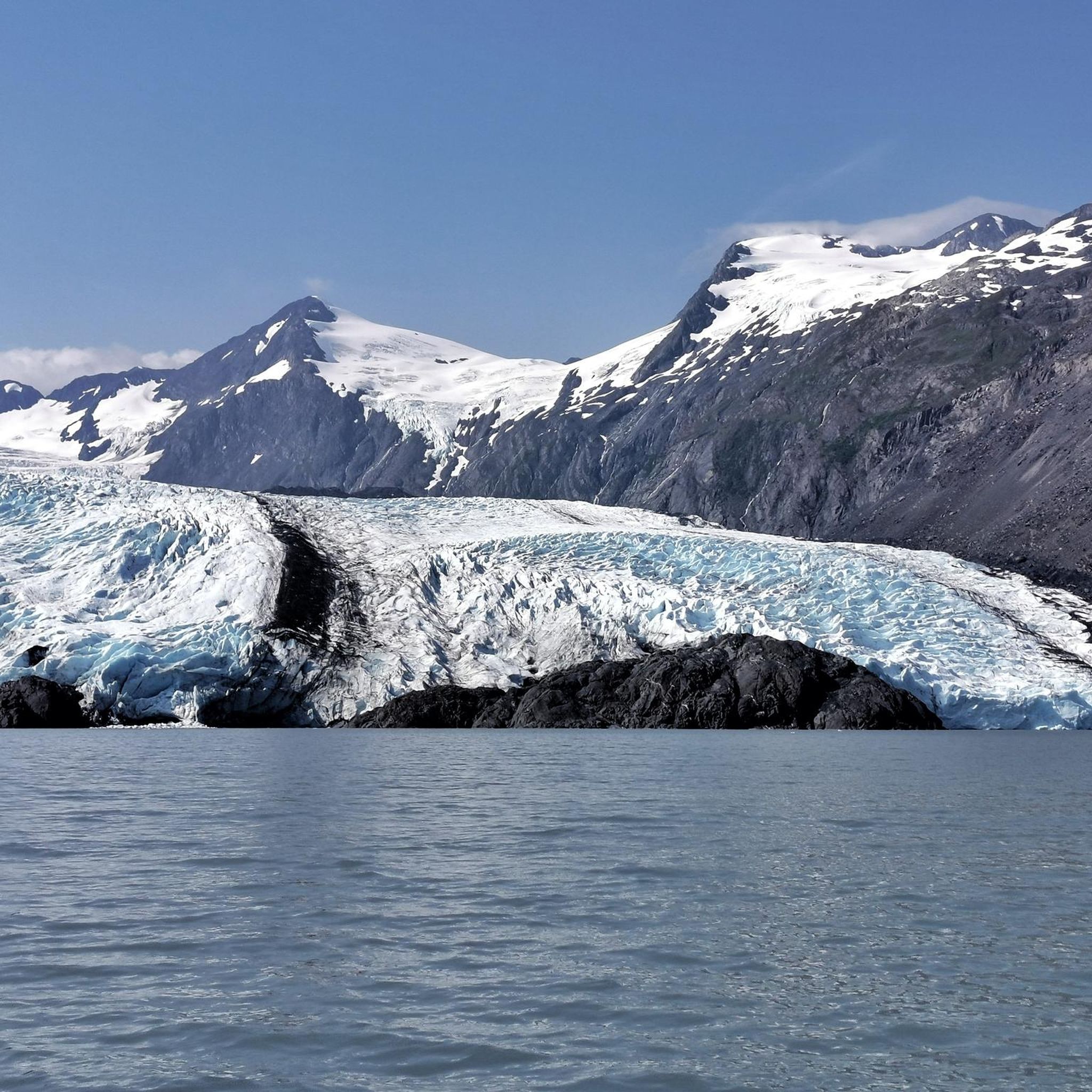
- 地元のハイカーは、ケンアイフィヨルド国立公園のハーディング氷河地帯も気に入っています。このトレイルは8.6マイル(13.8 km)で、山岳地帯を通り抜け、所要時間は約6時間30分です。
- アラスカでのハイキングは、そびえ立つ山々、広大な氷河、そしてドラマチックなフィヨルドによって定義されます。このネットワークは、アクセスしやすい日帰りハイキングから挑戦的な数日間の遠征まで、さまざまなレベルの能力に対応するオプションを提供しています。
- アラスカのルートは、komootコミュニティから高く評価されており、700件以上のレビューから平均4.7つ星を獲得しています。9,000人以上のハイカーがkomootを使用して、アラスカの多様な地形を探索しています。
最終更新日: 5月 11, 2026
4.8
(32)
265
ハイカー
5.84km
01:37
100m
100m
初級者向けハイキング. あらゆるフィットネスレベルに適しています。 進みやすいルートです。あらゆるスキルレベルに適しています。
4.6
(17)
199
ハイカー
3.37km
00:57
70m
70m
初級者向けハイキング. あらゆるフィットネスレベルに適しています。 進みやすいルートです。あらゆるスキルレベルに適しています。

4.3
(4)
93
ハイカー
5.88km
01:42
160m
130m
初級者向けハイキング. あらゆるフィットネスレベルに適しています。 進みやすいルートです。あらゆるスキルレベルに適しています。
4.9
(8)
64
ハイカー
13.8km
04:04
420m
360m
中程度のハイキング. ある程度のフィットネスレベルが必要です。 進みやすいルートです。あらゆるスキルレベルに適しています。
4.0
(3)
53
ハイカー
4.76km
01:51
330m
330m
中程度のハイキング. ある程度のフィットネスレベルが必要です。 進みやすいルートです。あらゆるスキルレベルに適しています。
5.0
(1)
34
ハイカー
2.83km
00:53
120m
90m
初級者向けハイキング. あらゆるフィットネスレベルに適しています。 進みやすいルートです。あらゆるスキルレベルに適しています。
5.0
(8)
47
ハイカー
11.3km
03:05
180m
160m
中程度のハイキング. ある程度のフィットネスレベルが必要です。 進みやすいルートです。あらゆるスキルレベルに適しています。
4.4
(7)
36
ハイカー
5.52km
01:29
70m
60m
初級者向けハイキング. あらゆるフィットネスレベルに適しています。 進みやすいルートです。あらゆるスキルレベルに適しています。
33
ハイカー
1.76km
00:31
50m
40m
初級者向けハイキング. あらゆるフィットネスレベルに適しています。 進みやすいルートです。あらゆるスキルレベルに適しています。
4.5
(2)
19
ハイカー
8.96km
02:20
50m
70m
中程度のハイキング. ある程度のフィットネスレベルが必要です。 進みやすいルートです。あらゆるスキルレベルに適しています。
さらに多くのルートや他のユーザーのおすすめ情報を確認できます。
すでにアカウントをお持ちですか?
おすすめのツアーは他のkomootユーザーが実際に経験した何千ものアクティビティに基づいています。


コミュニティからのヒント

メルローはありません — 棚は空っぽで静かで、決して来ないボトルを待っています。 メルローはありません — 棚は空っぽで静かで、決して来ないボトルを待っています。
0
0

Spacious location far away from the hustle and bustle of Homer
0
0

This lake is absolutely gorgeous, and very popular in the summer, with non-motorized watercraft for rent, a loop trail all the way around the lake, and a massive campground just steps away. The west end is the nicest for walking (and everything else); the east end of the lake gets quite marshy. And, please be aware that summer brings hordes of mosquitoes, and bear sightings are extremely common here in most seasons.
1
0
I think this might be the largest campground in Denali State Park. It's no secret that you can pick lots of berries here in the fall, and it's just a quick walk from the nearby lake. However, it's also no secret that the marshy ground in this area makes the campground and neighboring lake VERY buggy (think hordes of mosquitoes) in the summer. Bear sightings are also extremely common here in almost every season, because they like berries — and Byers Lake — too.
0
0

Built in 2005, the Denali Visitor Center and its surrounding campus are definitely worth a stop, either at the beginning or end of your trip. The center itself is the National Park Service's primary welcome and information center. Surrounding facilities include a restaurant, gift shop, bag check, bus stop, and train depot. The visitor center is open only during the summer and is located near the park entrance. During the summer, you can explore the exhibits, watch the park film, pay park admission, and speak with a ranger. During the fall, winter, and spring, the Murie Science and Learning Center (MSLC) serves as the park's winter visitor center. https://www.nps.gov/dena/planyourvisit/the-denali-visitor-center.htm
4
0

The Denali Visitor Center, located right at the entrance to Denali National Park, is the perfect starting point for your adventure in this rugged and fascinating landscape of Alaska. Here you will not only get useful information about the hiking trails and the wildlife, but you can also watch the park film Heartbeats of Denali, which will introduce you to the different facets of this breathtaking place. The exhibition in the center also gives you insights into the unique flora and fauna of the region. The area around the visitor center offers access to several popular hiking trails such as the Horseshoe Lake Trail and the Mt. Healy Overlook Trail. The Mt. Healy Overlook in particular rewards you after a steep climb with an impressive panoramic view of the park's vast landscape. There are also nearby trails for quieter hikes that lead through the dense forests and along the rivers and are ideal for relaxed exploration. A special highlight are the ranger-led tours and presentations that give you insights into the history of the park and its natural wonders. The Denali Visitor Center is not only an information point, but also a place that lets you immerse yourself in the unique atmosphere and the pristine nature of the wilderness - perfect for getting in the mood for the great Denali adventure.
2
0

Large beaver dam, with a bit of luck you can also see the beaver.
0
0
Blueberry Knoll is named for the plentiful berries that populate its slopes in autumn—but this is such a popular area that they get picked out very quickly. Blink, and you'll miss them! You'll hike right past the knoll on your way up Flattop, or you can treat it as its own destination, hiking a complete loop around it to enjoy the views in all directions before you head back down.
1
0

komootモバイルアプリでインスピレーションを得よう


探していたものは見つかりませんでしたか?
アラスカの下にある他のハイキングをチェックして、目的地で完璧なルートを見つけましょう。
さらに探索
他の地域の最高のハイキングを見てみましょう。
