Anchorageのおすすめウォーキング&ハイキングルート
4.6
(168)
3,269
ハイカー
273
ハイキング
div class="guide-intro"
p class="intro-overview"
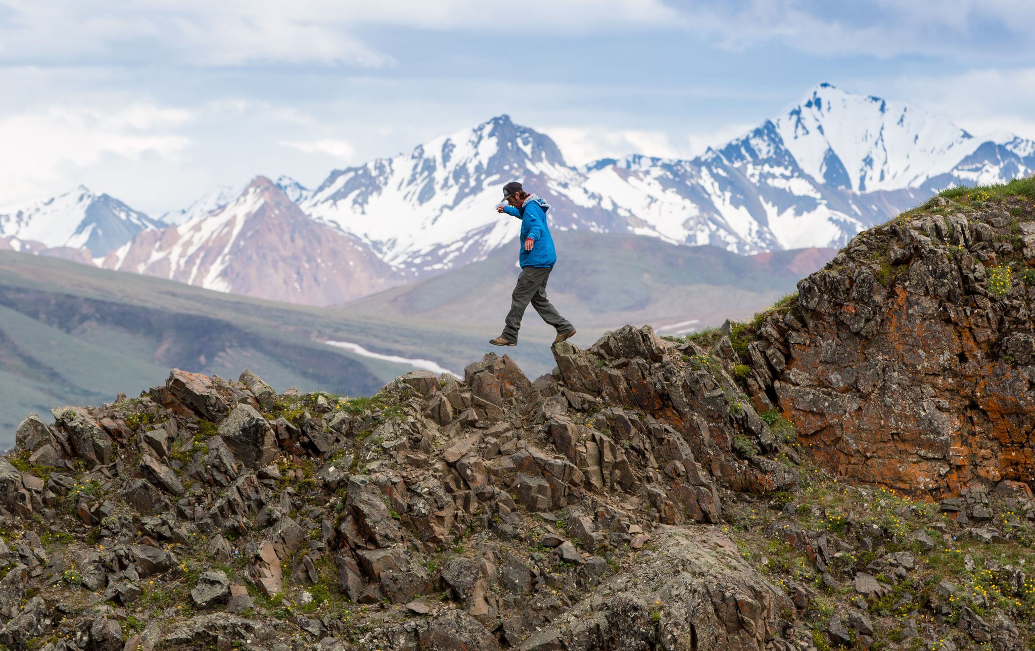
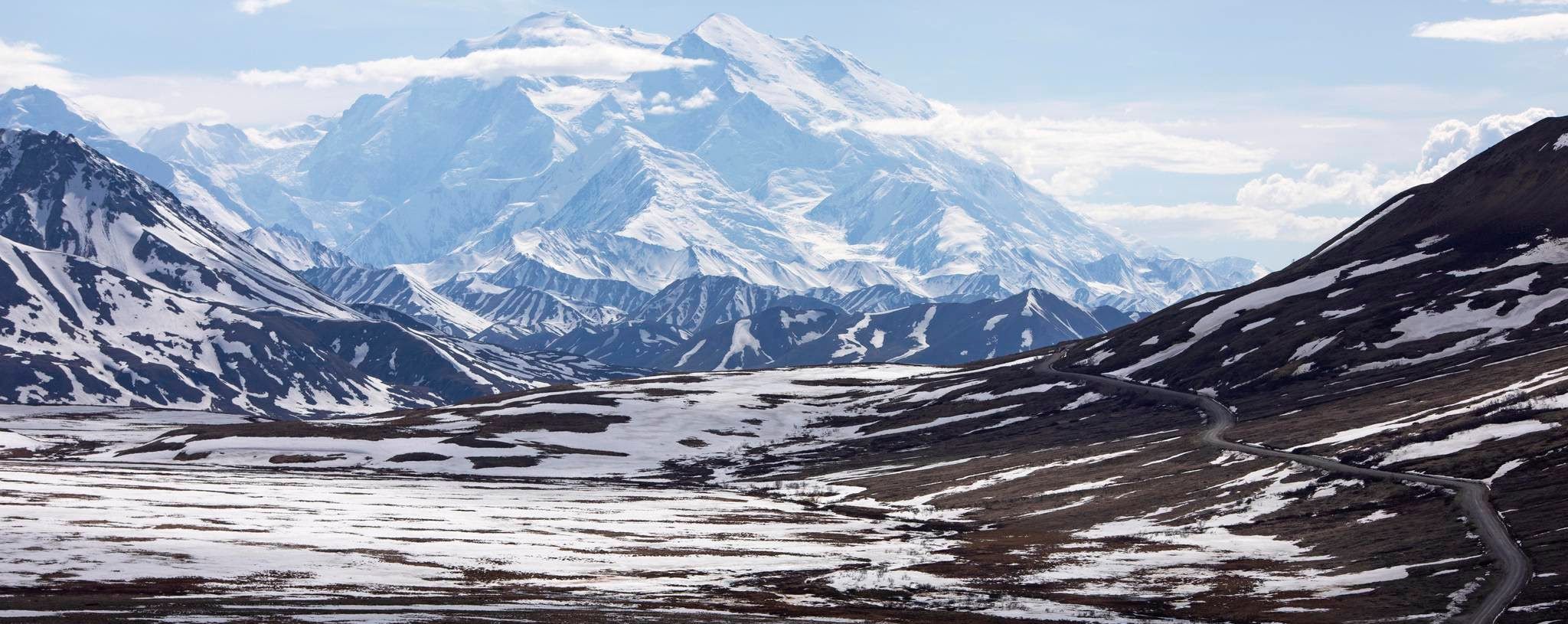
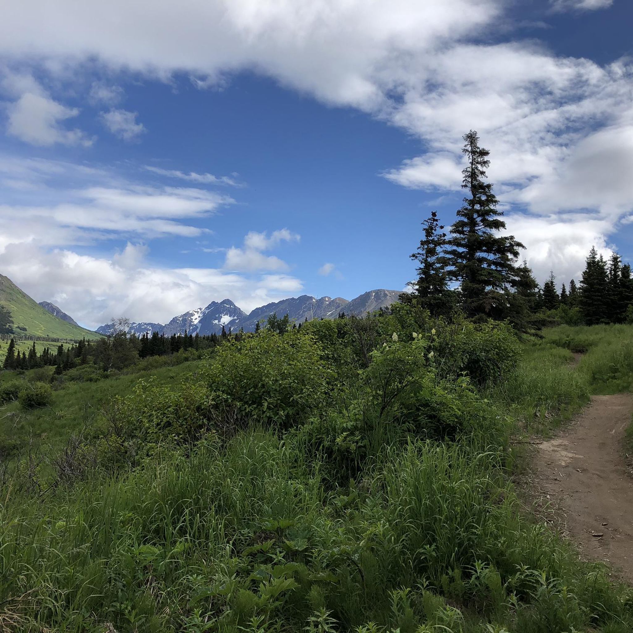
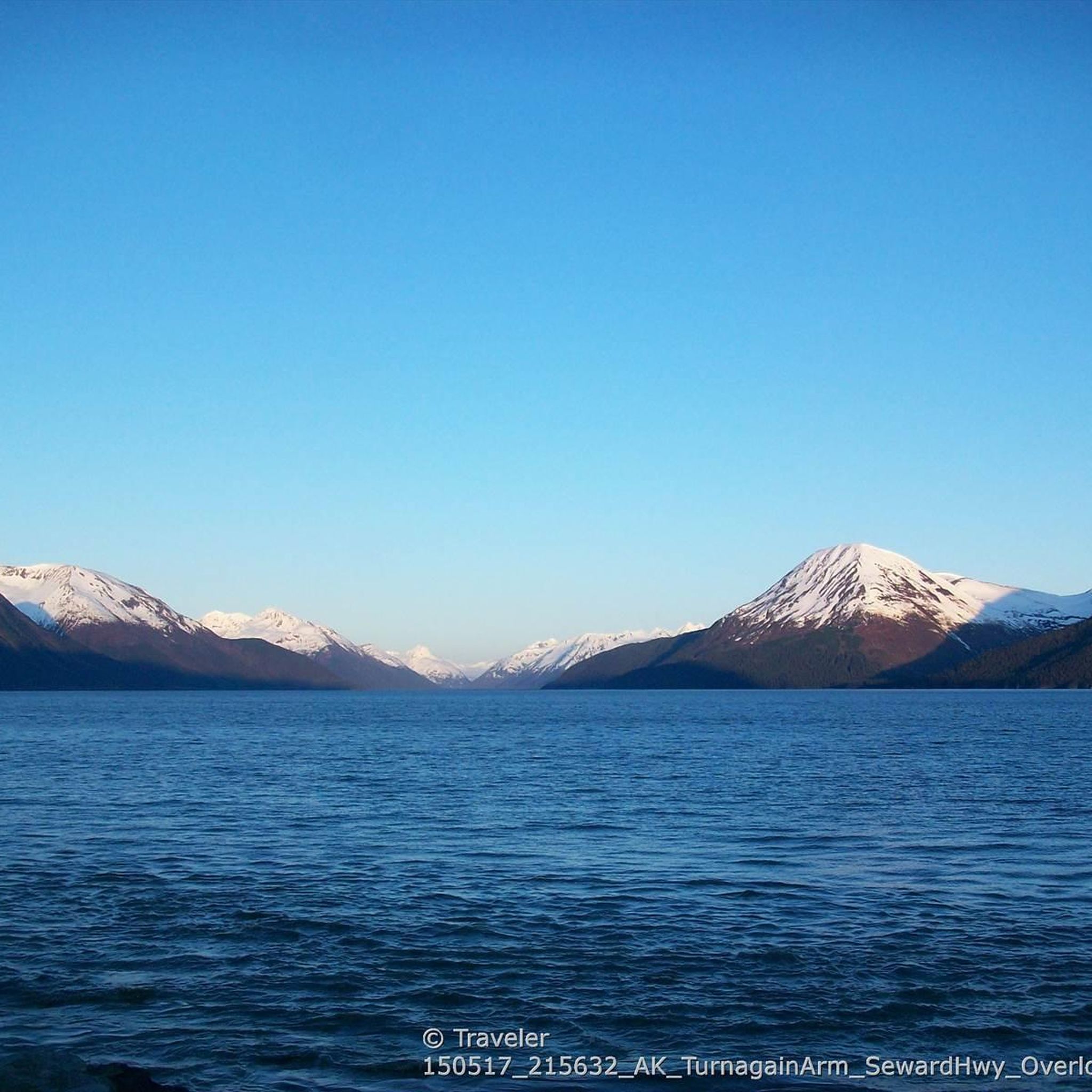
アンカレッジ周辺のハイキングでは、険しいチュガチ山脈、クック湾沿いの風光明媚な海岸地域、数多くの州立公園など、多様な景観にアクセスできます。この地域は、高山の地形、静かな山の湖、森に覆われた丘、広大な未開拓地が特徴です。氷河やフィヨルドも、ハイカーがアクセスできる多様な自然景観に貢献しています。
h20アンカレッジ周辺のベストハイキングトレイル
h2
ul class="trail-highlights"
li
最も人気のあるハイキングルートは、所要時間1時間51分、距離3.0マイル(4.8 km)のhttps://www.komoot.com/ja-jp/smarttour/e2813482077/mount-baldy-loop" target="_blank" rel="noopener"0Mount Baldy Loop0a0/a0/li0です。この適度な難易度のルートからは、周囲の山々と街のパノラマビューを楽しめます。
li
地元のハイカーに人気のもう一つのトレイルは、所要時間1時間51分、距離3.0マイル(4.8 km)のhttps://www.komoot.com/ja-jp/smarttour/e2813482497/blueberry-knoll-loop" target="_blank" rel="noopener"0Blueberry Knoll Loop0a0/a0/li0です。このルートは、自然の地形を通り抜ける穏やかな登りで、手軽な外出に適しています。
li
地元のハイカーに人気のhttps://www.komoot.com/ja-jp/smarttour/e2813557872/campbell-airstrip-loop" target="_blank" rel="noopener"0Campbell Airstrip Loop0a0/a0/li0は、森の中を抜ける3.3マイル(5.3 km)のトレイルで、所要時間は約1時間22分です。
li
アンカレッジ周辺のハイキングは、険しい山脈、海岸沿いの道、高山の湖が特徴です。このネットワークは、簡単な散策から挑戦的な登りまで、さまざまなレベルのオプションを提供します。
li
アンカレッジのルートは、150件以上のレビューから平均4.6つ星を獲得し、komootコミュニティから高く評価されています。2800人以上のハイカーがkomootを利用して、アンカレッジの多様な地形を探索しています。
/ul>
/div>
最終更新日: 8月 31, 2026
4.0
(3)
51
ハイカー
4.76km
01:51
330m
330m
中程度のハイキング. ある程度のフィットネスレベルが必要です。 進みやすいルートです。あらゆるスキルレベルに適しています。
5.0
(1)
32
ハイカー
2.83km
00:53
120m
90m
初級者向けハイキング. あらゆるフィットネスレベルに適しています。 進みやすいルートです。あらゆるスキルレベルに適しています。

無料新規登録
5.0
(1)
16
ハイカー
5.32km
01:22
20m
30m
初級者向けハイキング. あらゆるフィットネスレベルに適しています。 進みやすいルートです。あらゆるスキルレベルに適しています。
4.8
(4)
14
ハイカー
5.07km
01:19
30m
30m
初級者向けハイキング. あらゆるフィットネスレベルに適しています。 進みやすいルートです。あらゆるスキルレベルに適しています。
5.0
(2)
12
ハイカー
3.13km
00:50
20m
40m
初級者向けハイキング. あらゆるフィットネスレベルに適しています。 進みやすいルートです。あらゆるスキルレベルに適しています。
さらに多くのルートや他のユーザーのおすすめ情報を確認できます。
無料新規登録
すでにアカウントをお持ちですか?
おすすめのツアーは他のkomootユーザーが実際に経験した何千ものアクティビティに基づいています。




コミュニティからのヒント

This hike goes between Girdwood and Eagle River. It's a beautiful hike that covers a lot of various terrain.
0
0

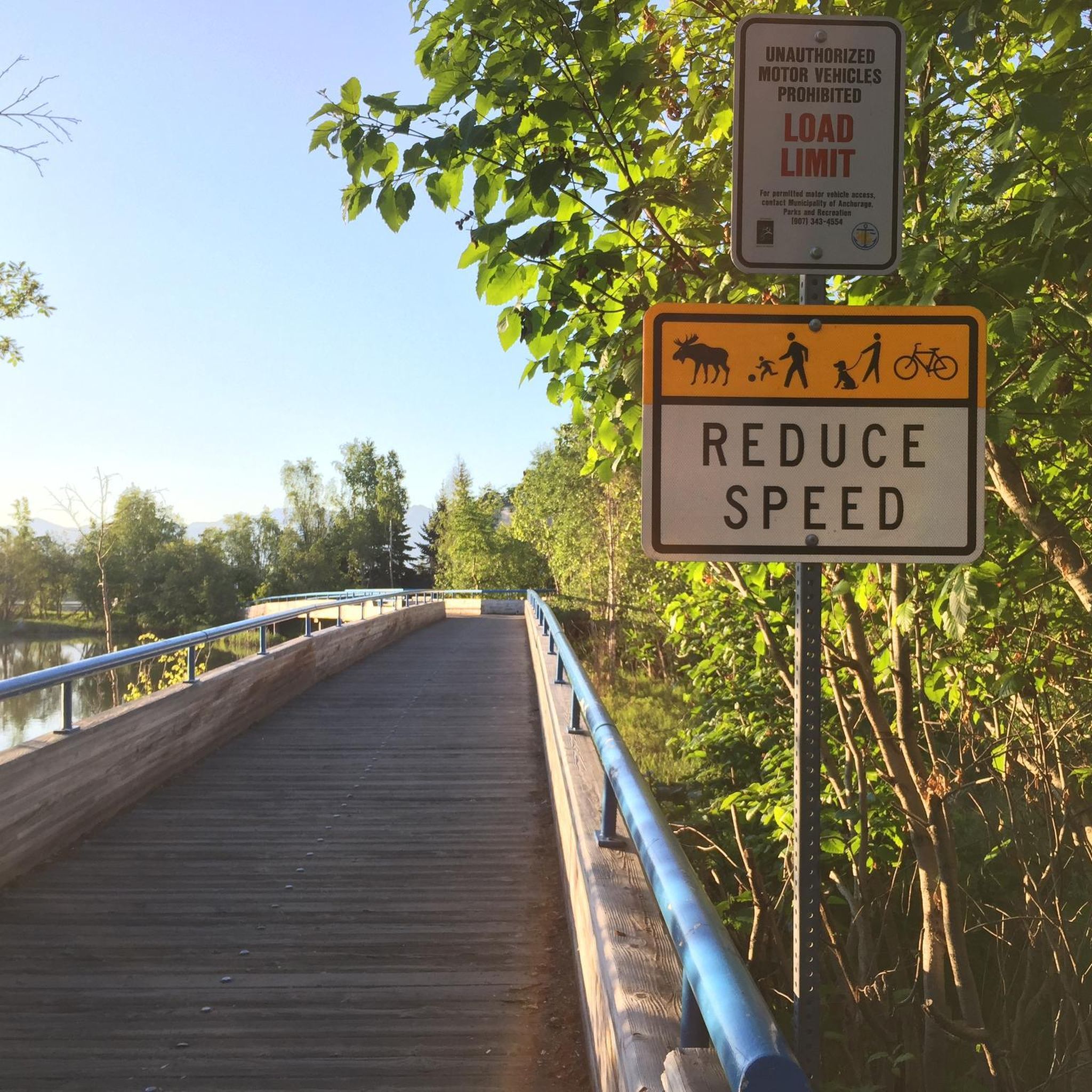
A railed wooden bridge crosses Fish Creek and connects you to the paved Coastal Trail on either side. There is a little rest area here and you get serine views of the estuary. Out across the Knik arm you can see the mountains and towering peak of Denali.
0
0

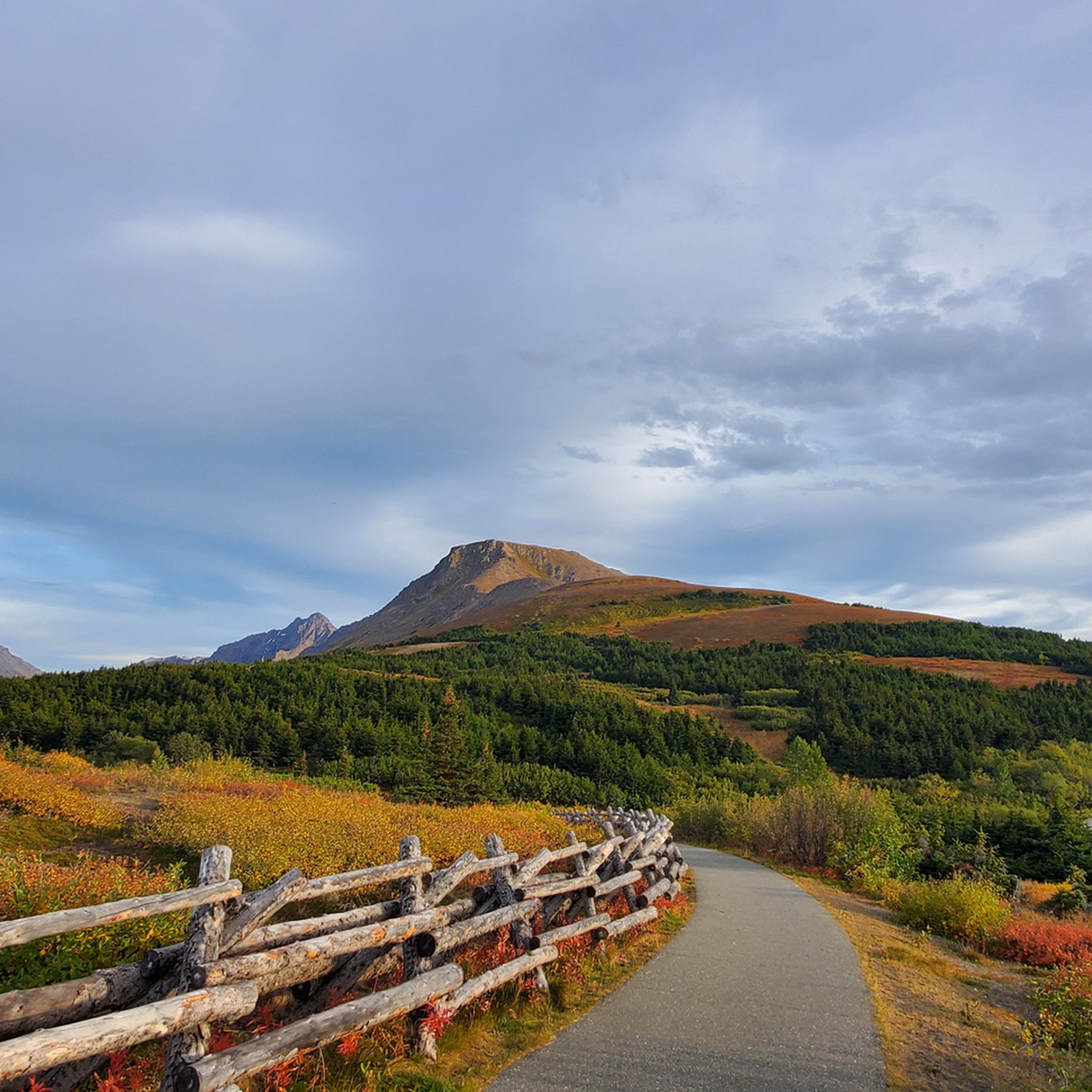
Blueberry Knoll is named for the plentiful berries that populate its slopes in autumn—but this is such a popular area that they get picked out very quickly. Blink, and you'll miss them! You'll hike right past the knoll on your way up Flattop, or you can treat it as its own destination, hiking a complete loop around it to enjoy the views in all directions before you head back down.
1
0
The Eagle River Nature Center is a wonderful facility with lots of educational programming for all ages. The trails around the nature center are always open, even if the building is closed, with one big exception: The Albert Loop Trail is closed every fall to reduce dangerous bear encounters while salmon are running in the nearby river. Please respect these closures. Parking for a car costs $5... but of course parking your bike is free.
1
0
Once a gravel pit, Westchester Lagoon really is one of the crown jewels of Anchorage. It's also a hub for year-round recreation. It also sits at the intersection of the Tony Knowles Coastal Trail, which runs along the coast, and the Chester Creek Trail that runs east-west through town. Both paved multi-use trails are great for biking.
1
0
This marks one of the larger interpretive displays within Earthquake Park, a parcel of land that showcases the effects of the magnitude 9.2 earthquake that struck Alaska in 1964. It's well worth pulling off the main trail to take a look or, if you're coming from the east, catch your breath from the short but steep hill leading up to this point.
1
0
This small, paved "pavilion" is part of Earthquake Park, which showcases the effects of the magnitude 9.2 earthquake that struck Alaska in 1964. One of the steepest hills on the paved Tony Knowles Coastal Trail is also right here, although it is mercifully short... sort of. Earthquake Park also has some singletrack mountain bike trails, and a short loop of interpretive walking trail. The walking trail really isn't good for running (it's too narrow, overgrown, and often slippery), and it's best for everybody if runners stay off the mountain bike trails here.
1
0

Earthquake Park, located near Anchorage Airport, offers a fascinating glimpse into the powerful forces of nature. This park commemorates the 1964 Great Alaska Earthquake, one of the most powerful earthquakes ever recorded. Wander along the trails and read the informative plaques to learn about the seismic event that dramatically reshaped the landscape. Enjoy panoramic views of Cook Inlet and the surrounding mountains.
0
0
around Anchorageの人気観光スポット

komootモバイルアプリでインスピレーションを得よう


さらに探索
他の地域の最高のハイキングを見てみましょう。
