エスネス-アン-アルゴンヌのおすすめウォーキング&ハイキングルート
4.5
(38)
168
ハイカー
8
ハイキング
ハイキングはエスヌ=アン=アルゴンヌ周辺のアルゴンヌ地方の多様な景観を巡ります。この地域は、深い森、穏やかな丘、そしてアイール川とエーヌ川によって形作られた深い谷が特徴です。地形はユニークな「ガイーズ」地質を持ち、木々に覆われた尾根と谷を作り出しています。このエリアには多くの池と複雑な水路網もあり、多様な生態系を支え、第一次世界大戦の痛ましい遺物を残しています。
エスヌ=アン=アルゴンヌ周辺の最高のハイキングトレイル
- 最も人気のあるハイキングルートは、アルゴンヌ・ムージエンヌ — ヌイイ=アン=アルゴンヌからのループです。このトレイルは16.8マイル(27.0 km)で、所要時間は7時間17分です。この難易度の高いルートは、アルゴンヌの森を抜けるかなりの高低差があります。
- 地元のハイカーに人気のもう一つのルートは、ムーズ川とヴェルダンのループ — シャルニー=シュル=ムーズからのループです。これは11.7マイル(18.9 km)の中程度の長さのパスです。このルートはムーズ川に沿っており、水路と周囲の景色を楽しめます。
- 地元のハイカーに愛されているのは、シャルニー=シュル=ムーズのアートインスタレーション — シャルニー=シュル=ムーズからのループです。これは3.8マイル(6.1 km)のトレイルで、地元の景観を通り抜け、所要時間は約1時間34分です。
- エスヌ=アン=アルゴンヌ周辺のハイキングは、深い森、川沿いの谷、そして史跡によって特徴づけられます。このネットワークは、簡単な散歩からより挑戦的なルートまで、さまざまなレベルのスキルに対応するオプションを提供しています。
- エスヌ=アン=アルゴンヌのルートは、komootコミュニティから高く評価されており、20件以上のレビューで平均4.4つ星を獲得しています。140人以上のハイカーがkomootを利用して、エスヌ=アン=アルゴンヌの多様な地形を探検しました。
最終更新日: 10月 18, 2026
25
ハイカー
22.7km
06:21
440m
440m
難しいハイキング. 標準以上のフィットネスレベルが必要です。 進みやすいルートです。あらゆるスキルレベルに適しています。
2
ハイカー
5.58km
01:34
110m
110m
初級者向けハイキング. あらゆるフィットネスレベルに適しています。 進みやすいルートです。あらゆるスキルレベルに適しています。

1
ハイカー
4.14km
01:09
70m
70m
初級者向けハイキング. あらゆるフィットネスレベルに適しています。 進みやすいルートです。あらゆるスキルレベルに適しています。
5.0
(1)
5
ハイカー
6.65km
01:50
120m
110m
初級者向けハイキング. あらゆるフィットネスレベルに適しています。 進みやすいルートです。あらゆるスキルレベルに適しています。
4.5
(2)
5
ハイカー
2.94km
00:44
0m
0m
初級者向けハイキング. あらゆるフィットネスレベルに適しています。 進みやすいルートです。あらゆるスキルレベルに適しています。
さらに多くのルートや他のユーザーのおすすめ情報を確認できます。
すでにアカウントをお持ちですか?
おすすめのツアーは他のkomootユーザーが実際に経験した何千ものアクティビティに基づいています。
無料アカウントで今日から始めよう
次の冒険が待っています。



コミュニティからのヒント

This impressive American WWI memorial was dedicated in 1937 to commemorate the victory of the American First Army during the Meuse-Argonne Offensive (26 September – 11 November 1918). The 54-metre-high Doric granite column, designed by John Russell Pope, is topped by a statue symbolising liberty. The monument stands on the hill of Montfaucon, where a medieval monastery once stood and where the Americans achieved a strategic victory in 1918.
9
0
This hill in the Argonne was the scene of fierce mine warfare between French and German forces during WWI. From 1915 to 1918, both sides dug extensive tunnel networks under the hill, causing hundreds of explosions and thousands of deaths. Today, impressive craters, trenches and underground passages can be seen – a poignant reminder of life and fighting underground.
7
0
Tips: Climb the 234 steps to the viewing platform for a panoramic view of the former battlefield. Read the inscriptions at the foot of the monument with the names of the participating divisions.
1
0
This impressive American WWI memorial was dedicated in 1937 to commemorate the victory of the American First Army during the Meuse-Argonne Offensive (26 September – 11 November 1918). The 54-metre-high Doric granite column, designed by John Russell Pope, is topped by a statue symbolising liberty 1 2. The monument stands on the hill of Montfaucon, where a medieval monastery once stood and where the Americans achieved a strategic victory in 1918.
1
0

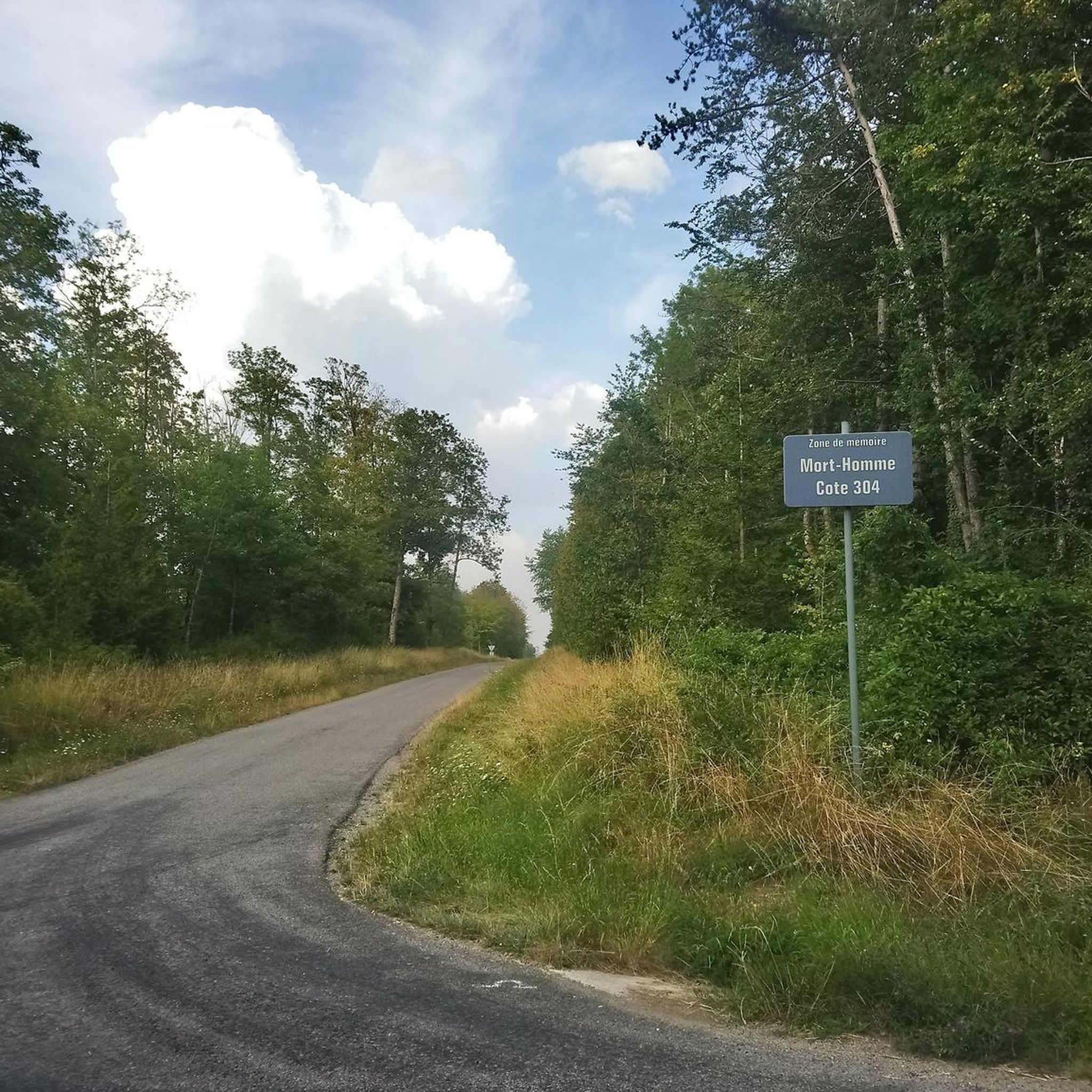
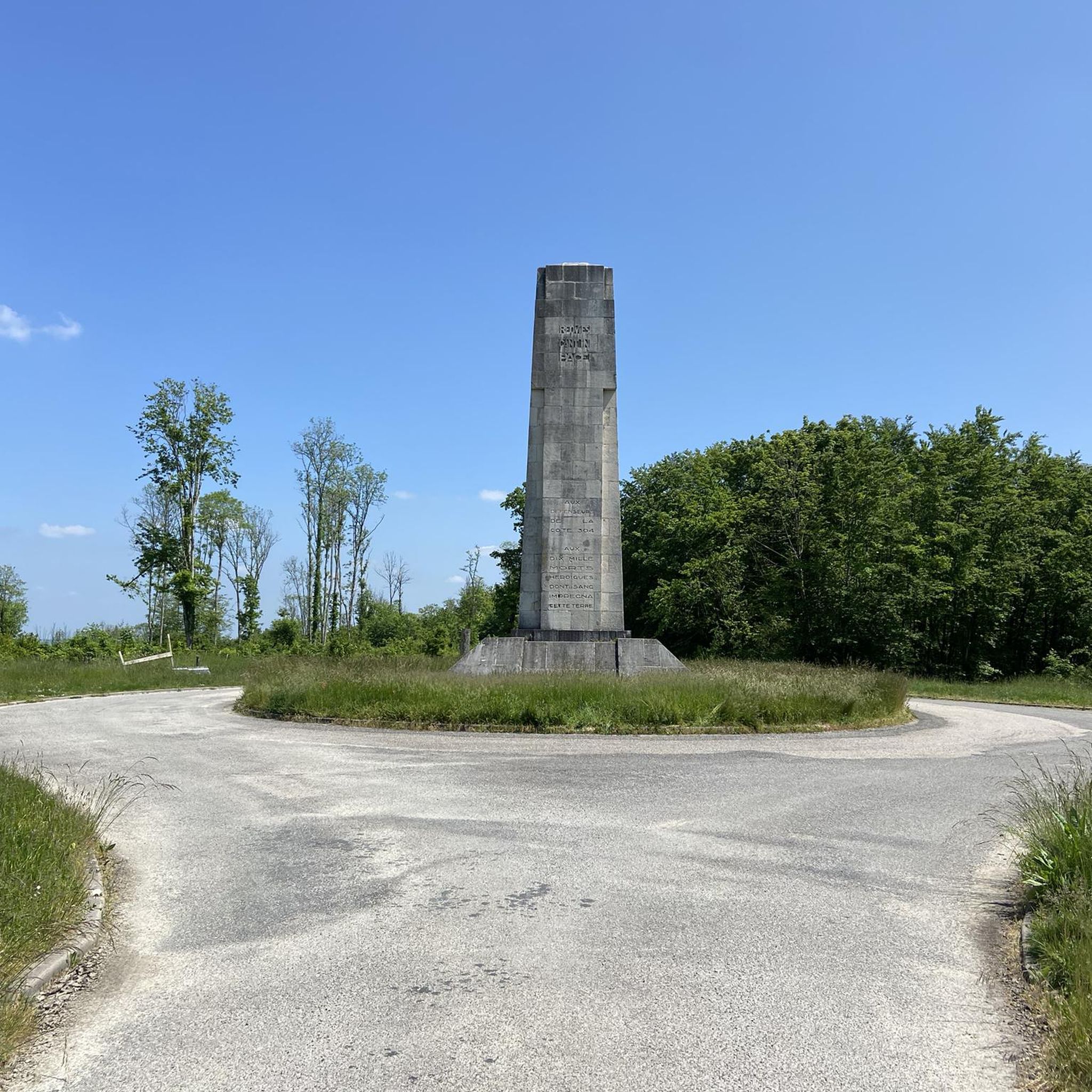
The German offensive to conquer Verdun began in February 1916. In early March, the fighting took place on the heights of Mort-Homme. The French put up a heroic resistance under a torrent of fire. In this sector, 10,000 poilus died. Monument du Mort-Homme, by sculptor Jacques Froment-Meurice. The soldier's skeleton detaches itself from its shroud and lets out its cry of victory. On one arm, he carries a flag, the symbol of the nation for which he sacrificed himself, and on the other arm, he waves the torch of victory. At the foot of the monument, the phrase "They have not passed" recalls the sacrifice of French fighters for the possession and preservation of this observation hill on the left bank of the Meuse. The village of Cumières, declared a "dead village for France", became Cumières le Mort-Homme in 1922. In memory of the village, the Saint-Rémi chapel was built with the stones of the old church, in the middle of an enclosure, preceded by a monument to remind us that there was a peaceful village here. More information on https://www.tourisme-verdun.com/decouverte/post/site-du-mort-homme
1
0

https://verdun1916.eu/?p=7570 The hill of Vauquois (Butte de Vauquois), about 25 kilometers northwest of Verdun, is 295 meters high and was, due to its location, an excellent vantage point for those who wanted to defend the northern Argonne, together with the hill of Les Eparges, which is about the same distance southeast of Verdun. The Germans had already captured the village of Vauquois and the hill without a fight in September 1914. The village and the hill were immediately fortified. Caves and underground passages were cut and dug in the limestone soil. The total length of the passages was no less than 15 km. With loopholes one could cover a large area, and one could count on artillery support from Cheppy and Montfaucon. It was an excellently built defense line. The French were keen to recapture this hill, partly because Verdun was threatened by it. First Battles for Vauquois The French attacked on 28 October 1914 without artillery support, and ran straight into a barrage of bullets and shells. Within an hour the attackers were out of action. The next day there was another attack, but this time with artillery support. It was another failure on this well-defended position. Until the end of February, attacks were made repeatedly on the village and the hill, with or without artillery support. The losses were enormous, especially on the French side.
1
0

During the First World War a 'mine war' literally pulverized the hill: the mine craters on the Butte de Vauquois. A monument marks the site of the old destroyed village.
1
0
Le Mort-Homme was one of the pivots of the defense of Verdun on the left bank. All the German assaults of March 1916 were broken on this ridge.
0
0
エスネス-アン-アルゴンヌでのの人気観光スポット

komootモバイルアプリでインスピレーションを得よう


さらに探索
他の地域の最高のハイキングを見てみましょう。
