ロワゾンのおすすめウォーキング&ハイキングルート
4.9
(27)
89
ハイカー
11
ハイキング
ロワゾン周辺でのハイキングは、景色を満喫するのに最適な手段のひとつですが、適切なハイキングルートを見つけることは簡単ではありません。 ロワゾン周辺の人気ハイキング&ウォーキングコースを参考にすれば、行きたいルートをすぐに見つけられます。
最終更新日: 8月 29, 2026
4.4
(10)
37
ハイカー
8.09km
02:06
50m
50m
Hike the 5.0-mile (8.1 km) moderate loop around Étang d'Amel from Senon, exploring a nature reserve rich in birdlife.
5.0
(6)
12
ハイカー
14.5km
03:58
220m
220m
中程度のハイキング. ある程度のフィットネスレベルが必要です。 進みやすいルートです。あらゆるスキルレベルに適しています。

無料新規登録
5.0
(1)
7
ハイカー
11.1km
02:50
40m
40m
中程度のハイキング. ある程度のフィットネスレベルが必要です。 進みやすいルートです。あらゆるスキルレベルに適しています。
5.0
(2)
7
ハイカー
11.2km
03:03
180m
180m
中程度のハイキング. ある程度のフィットネスレベルが必要です。 進みやすいルートです。あらゆるスキルレベルに適しています。
5.0
(2)
8
ハイカー
8.36km
02:16
120m
120m
中程度のハイキング. ある程度のフィットネスレベルが必要です。 進みやすいルートです。あらゆるスキルレベルに適しています。
さらに多くのルートや他のユーザーのおすすめ情報を確認できます。
無料新規登録
すでにアカウントをお持ちですか?
おすすめのツアーは他のkomootユーザーが実際に経験した何千ものアクティビティに基づいています。
無料アカウントで今日から始めよう
次の冒険が待っています。
ログインまたは登録



コミュニティからのヒント

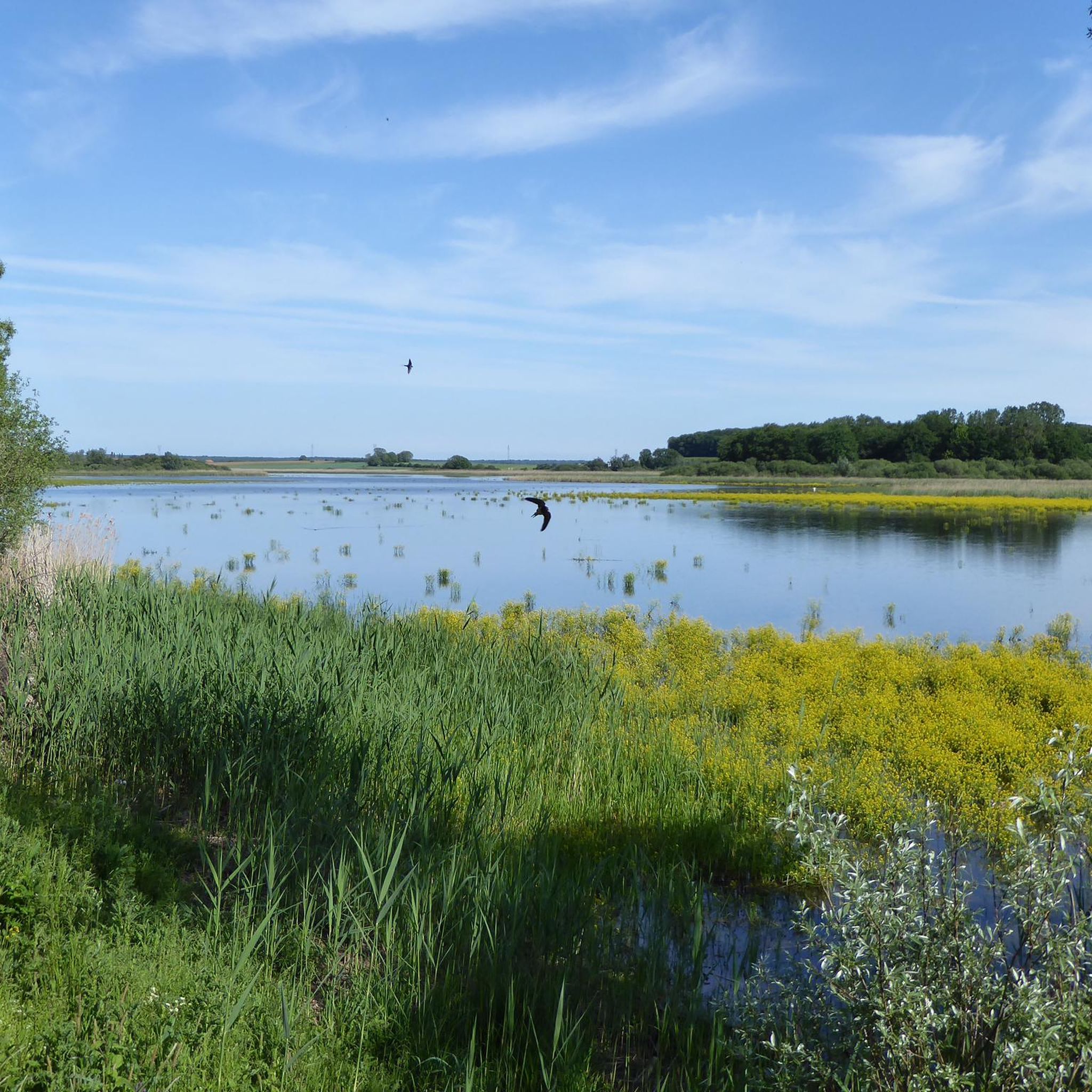
🔭 **Observatoire de l’Étang d’Amel – Nature Observation at the Pond** At the Étang d’Amel, there is a wooden observation post from which wildlife can be observed undisturbed. Waterfowl such as herons, ducks, and geese are particularly easy to spot here – depending on the season, even with their young. 🌾 The platform is sheltered from the wind, offers information panels about the regional fauna, and is idyllically situated among reeds, trees, and riparian grass. **Tip:** Bring binoculars! The chances of spotting birds are particularly good in the early morning or late afternoon. Ideal for nature lovers and families.
0
0
🌿 **Étang d'Amel – A tranquil pond with a natural flair near Basse-Ham** The Étang d'Amel is a small, idyllic pond east of Thionville, surrounded by meadows, groves of trees, and quiet walking paths. The water serves as a refuge for birds and amphibians – and a relaxing spot for walkers and nature lovers. 🦆 Occasionally, you'll encounter anglers, ducks, or herons here – otherwise: pure peace and quiet. **Tip:** Perfect for a quiet break on your hike – take some time and enjoy the sound of the water and the birdsong.
0
0

Memorial Ici fut ornes detruit en 1916 was erected for the lost village and the Martyrs of Ornes. At this location you have a beautiful view over the lost village of Ornes. The Memorial was erected by Touring Club France
3
0
History of the chapel: The chapel is located near the ruins of the old church, which was listed as a monument in 1996. The ruins and the chapel are connected by the current Orne forest road, which follows the route of the "rue d'en haut" of the old village. The chapel is located on the edge of this road. The Fountain of Remembrance, which was built a few years later, is located in line with the chapel, on the other side of the road. The chapel consists of a large nave, preceded by an entrance portal, followed by a trapezoidal choir which opens at the back of the altar onto a small sacristy with a rectangular plan. Of the nine hidden chapels, the Ornes chapel is the only one with a sacristy.
3
0
Ornes was a real city, larger than the other destroyed villages, but which eventually found itself, after the First World War, on the same site, or almost, under their stones. In the course of its history, its lord's castle suffered the same fate, when it was taken in February 1653 and then destroyed by the Catholic troops of Lorraine, while he, like his ancestors since 1563, vigorously defended Protestantism. As early as 1587, a very bloody battle took place between his troops and the Catholic troops of the Duke of Lorraine. In the mid-19th century, the city had 1,367 inhabitants, but in 1914 the number of inhabitants fell again to 750. This was mainly due to the rural exodus, which provided labour for the large industrial centres that were growing rapidly at the end of the 19th century. However, this city has an industrial textile and processing factory that is well suited to local agricultural production and textiles from the neighbouring Woëvre plain. But its geographical location, close to the border with the annexed Moselle and then on the front that had been stabilised after the Battle of the Marne, was not favourable for the area. In the event of an enemy offensive, the area would quickly find itself on the front line. For this reason, on 25 August 1914, the population was asked to leave the village. But not everyone left, at their own risk, because the bombardments and German patrols in the village became increasingly intense. In September 1914, two children were killed by shrapnel. In October 1914, several villagers who were about to leave were taken prisoner by the Germans... In 1915 and until February 1916, French troops held the village where units were positioned, in the second line opposite the front, at the beginning of the great German offensive. But from 21 to 24 February, the German advance was so strong that the village of Ornes was taken by their infantry on 24 February 1916, after heavy bombardments that destroyed all the houses and buildings in the village. It was not until 23 August 1917 that the area was retaken by our soldiers. At the end of the war, the area was classified as a 'red zone' and could never be rebuilt. Source: Tourism Verdun
3
0
Source of living water in the lost village of Ornes
3
0

Small part of the defense system around Verdun... unfortunately a bit overgrown
0
0

You can observe birds there without disturbing them. The pond is home to many rare and protected plant and animal species, such as the greater bittern, the little heron and the marsh copper. Enjoy the beauty and tranquility of this wetland habitat. An ideal break for your race.
2
0
ロワゾンでのの人気観光スポット

komootモバイルアプリでインスピレーションを得よう


さらに探索
他の地域の最高のハイキングを見てみましょう。
