ベーレンシュタインのおすすめ登山&山歩きルート
4.3
(3)
22
ハイカー
6
ハイキング
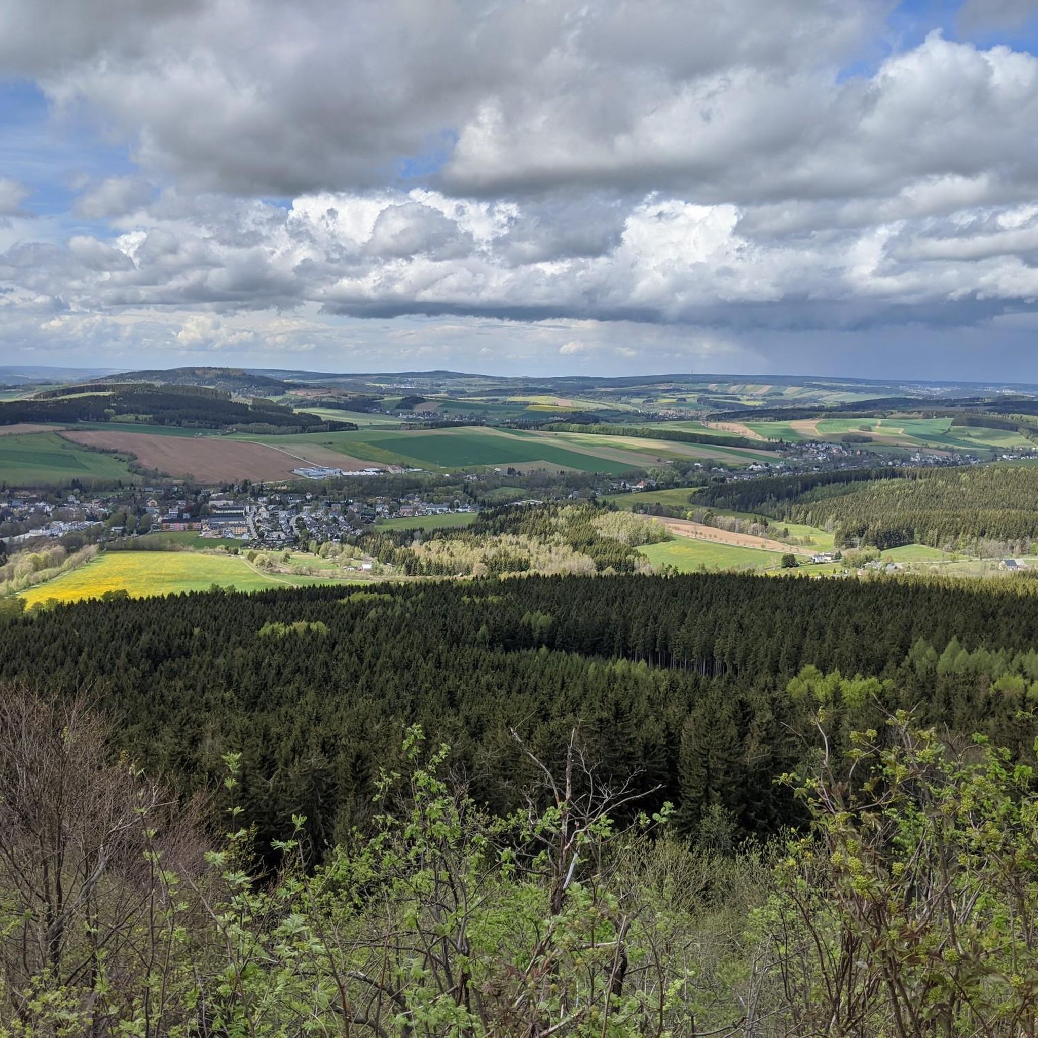
エルツゲビルグスクライスの山々をもっと探索しませんか?このガイドでご紹介するのは、komootがベーレンシュタインでの登山&山歩きのコレクション全体を評価して選び抜いた、このエリアの人気ルートです。あなたに合ったルートを見つけるには、他のユーザーがアップロードした役立つ情報や写真を閲覧し、クリック操作で簡単に表示できる詳細なデータを参考にしましょう。ベーレンシュタインでの次の冒険にぴったりの登山&山歩きルートが見つかるはずです。
最終更新日: 10月 11, 2026
5.0
(1)
9
ハイカー
10.1km
03:48
630m
630m
中程度の登山ルート. ある程度のフィットネスレベルが必要です。 全般的に進みやすいルートです。安定して歩行できる技術が必要です。
14.6km
04:42
560m
570m
中程度の登山ルート. ある程度のフィットネスレベルが必要です。 全般的に進みやすいルートです。安定して歩行できる技術が必要です。

5.0
(1)
1
ハイカー
15.2km
04:33
460m
460m
中程度の登山ルート. ある程度のフィットネスレベルが必要です。 進みやすいルートです。あらゆるスキルレベルに適しています。
8.62km
02:40
300m
300m
中程度の登山ルート. ある程度のフィットネスレベルが必要です。 全般的に進みやすいルートです。安定して歩行できる技術が必要です。
3.0
(1)
6
ハイカー
12.2km
04:18
720m
720m
中程度の登山ルート. ある程度のフィットネスレベルが必要です。 進みやすいルートです。あらゆるスキルレベルに適しています。
おすすめのツアーは他のkomootユーザーが実際に経験した何千ものアクティビティに基づいています。
無料アカウントで今日から始めよう
次の冒険が待っています。
ベーレンシュタイン周辺で人気
ストーンマン・トレイル in the エルツ山地
‘Good luck’ in the hiking paradise of the Ore Mountains

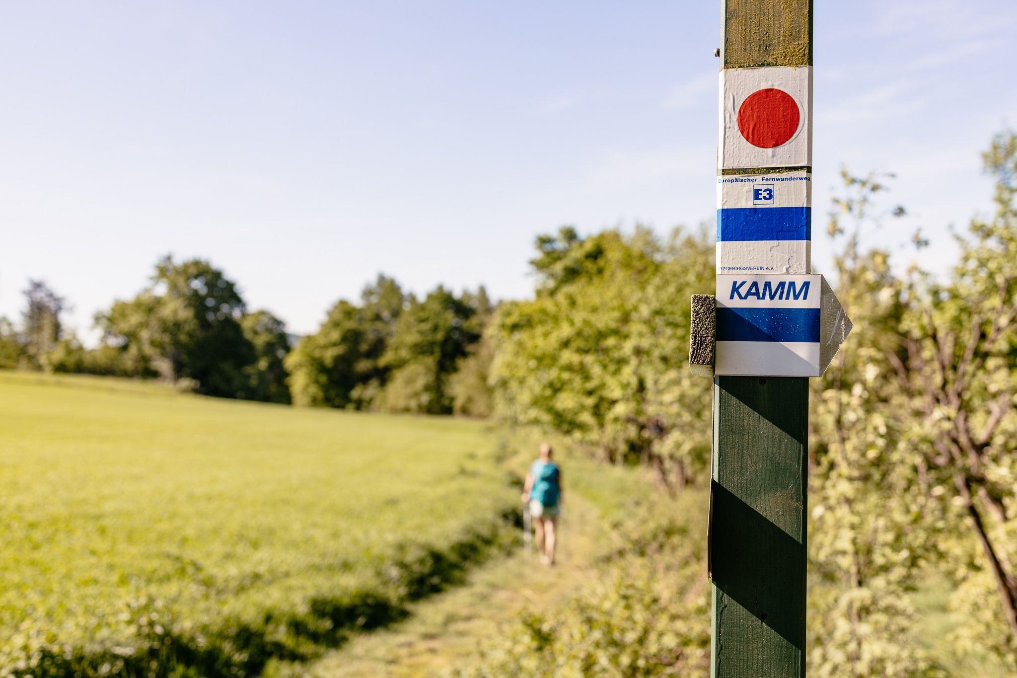
歴史と自然が出会う – エルツゲビルゲ=フォークトラント尾根道
Der Kammweg Erzgebirge-Vogtland aus Sicht einer Bloggerin

Wandertouren - Eisenbahn & Wanderstock

Wandertouren - Gipfelglück
ベーレンシュタインでのハイキング
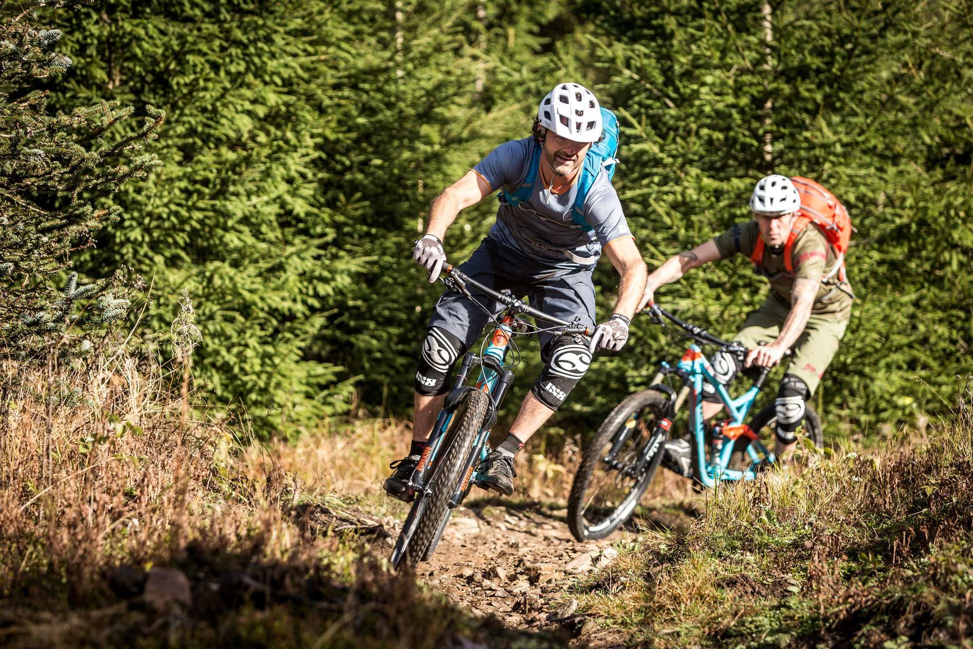
ベーレンシュタインのMTBトレイル
ベーレンシュタインのロードバイクルート
ベーレンシュタインでのサイクリング
ベーレンシュタインでのの他の冒険


コミュニティからのヒント

You can take a good break here when you are exhausted from the climb.
0
0

ゴットエスガーバー・トルフムーア自然学習遊歩道は、ボジダルスケ・ラシェリニシュチェ自然保護区の国際的に重要な湿地帯を通過します。遊歩道の大部分は木製の遊歩道となっており、訪問者の安全のためだけでなく、特に繊細な泥炭地とその希少な動植物種を保護するために設けられています。遊歩道沿いには12枚の案内板があり、泥炭地の自然、かつての泥炭採掘、地質、そして典型的な動植物について解説しています。
1
0


The Fichtelberg near Oberwiesenthal in the Erzgebirge district is, at 1214.79 m above sea level, the highest mountain in Saxony. It was also the highest mountain in East Germany (GDR). Together with the nearby Klínovec (Keilberg; 1243.7 m above sea level) on the Czech side, it forms the most important winter sports center in the Erzgebirge. Source and further information: https://de.m.wikipedia.org/wiki/Fichtelberg_(Erzgebirge)
3
0

The Klínovec ski area is the largest ski area in the Ore Mountains. Its highest point is the summit of Klínovec (Keilberg) at 1,244 meters. Skiing has been taking place here since the early 20th century. The first lift was built in the 1960s, and a snowmaking system was added in 1998. In 2005, a triple chairlift was built on the "Dámská" slope on the north face. The ski area offers winter sports enthusiasts two black slopes, four red slopes, five blue slopes, and several connecting slopes.
17
1
This column testifies that the Fichtelberg was one of 158 stations of the "Central European Triangulation" in 1864. During the Royal Saxon Triangulation, the land in Saxony was surveyed between 1862 and 1890, and a trigonometric grid was created at the same time, which was intended to serve as the basis for accurate maps.
16
1
The Traktor Oberwiesenthal sports club's luge track has been out of use for 35 years. Founded in 1955, the club was dissolved in 1990, and its successor, the Oberwiesenthaler SV 1990, saw itself as its successor. The naturally iced luge track, constructed from concrete elements and opened in the winter of 1969/1970 for the GDR luge training center, has been deteriorating since 1990 and is overgrown with vegetation. However, you can still walk the entire 1,100-meter-long track with its 18 curves and admire the buildings that enrich this lost place, such as the scoring booths and observation bridge. At the first Olympic luge competitions in Innsbruck in 1964, SC Traktor athletes dominated the field. Ortrun Enderlein and Ilse Geisler won gold and silver medals in the women's race, and Thomas Köhler and Klaus-Michael Bonsack won silver in the men's race.
17
2

komootモバイルアプリでインスピレーションを得よう


さらに探索
他の地域の最高の登山ハイキング & ルートを見てみましょう。
