コビルハのおすすめウォーキング&ハイキングルート
4.3
(251)
852
ハイカー
28
ハイキング
コビルハ周辺でのハイキングは、景色を満喫するのに最適な手段のひとつですが、適切なハイキングルートを見つけることは簡単ではありません。 コビルハ周辺の人気ハイキング&ウォーキングコースを参考にすれば、行きたいルートをすぐに見つけられます。
最終更新日: 10月 20, 2026
4.5
(27)
95
ハイカー
8.89km
02:41
300m
300m
中程度のハイキング. ある程度のフィットネスレベルが必要です。 歩きやすい道です。
4.4
(31)
71
ハイカー
5.35km
01:38
180m
180m
初級者向けハイキング. 歩きやすい道です。

4.5
(13)
46
ハイカー
11.9km
04:09
630m
630m
中程度のハイキング. ある程度のフィットネスレベルが必要です。 ほとんどが歩ける道です。足元への注意が必要です。
4.6
(16)
78
ハイカー
8.78km
02:36
260m
260m
中程度のハイキング. ある程度のフィットネスレベルが必要です。 歩きやすい道です。
4.4
(5)
18
ハイカー
10.9km
03:07
250m
250m
中程度のハイキング. ある程度のフィットネスレベルが必要です。 歩きやすい道です。
さらに多くのルートや他のユーザーのおすすめ情報を確認できます。
すでにアカウントをお持ちですか?
おすすめのツアーは他のkomootユーザーが実際に経験した何千ものアクティビティに基づいています。
無料アカウントで今日から始めよう
次の冒険が待っています。
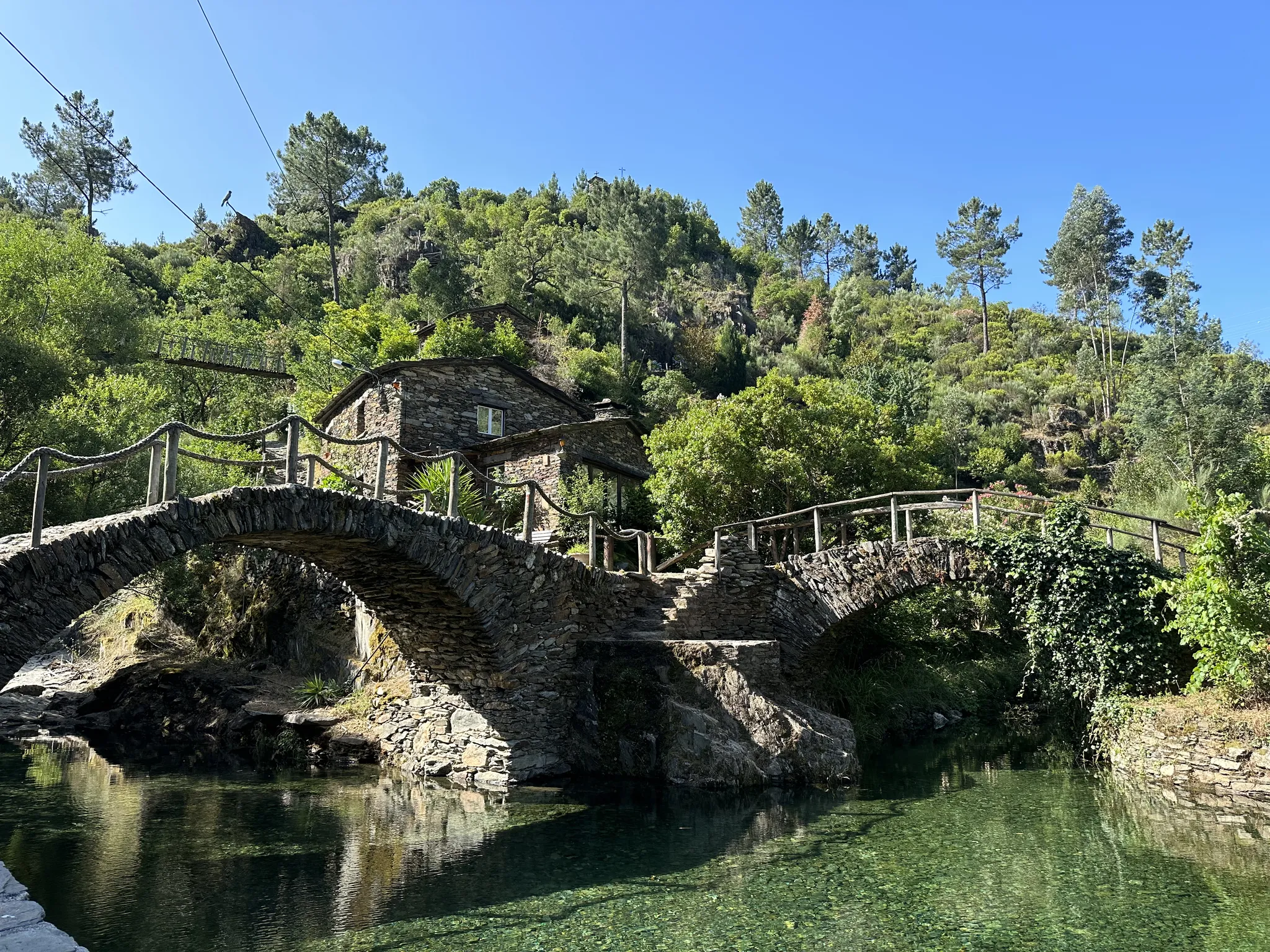


コミュニティからのヒント

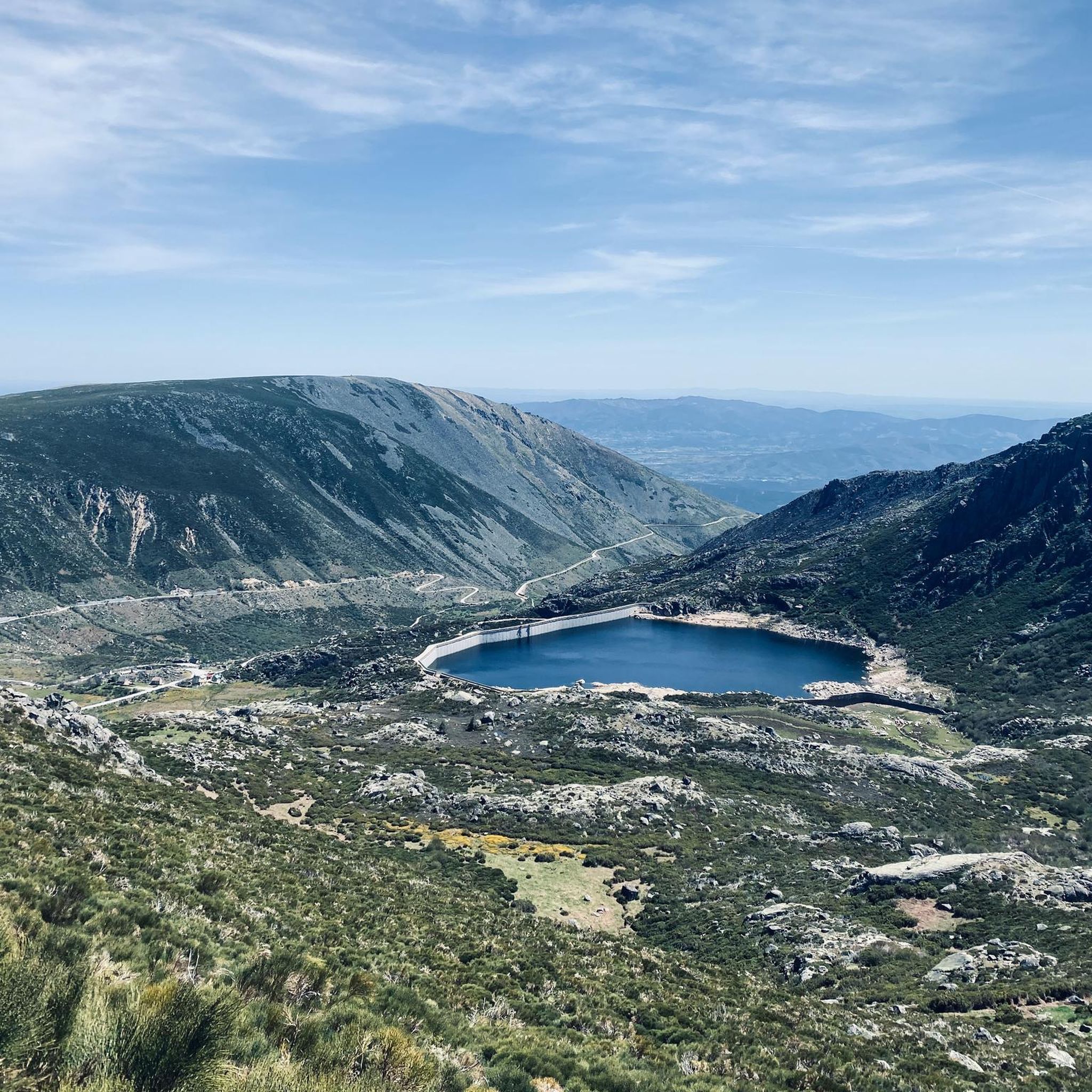
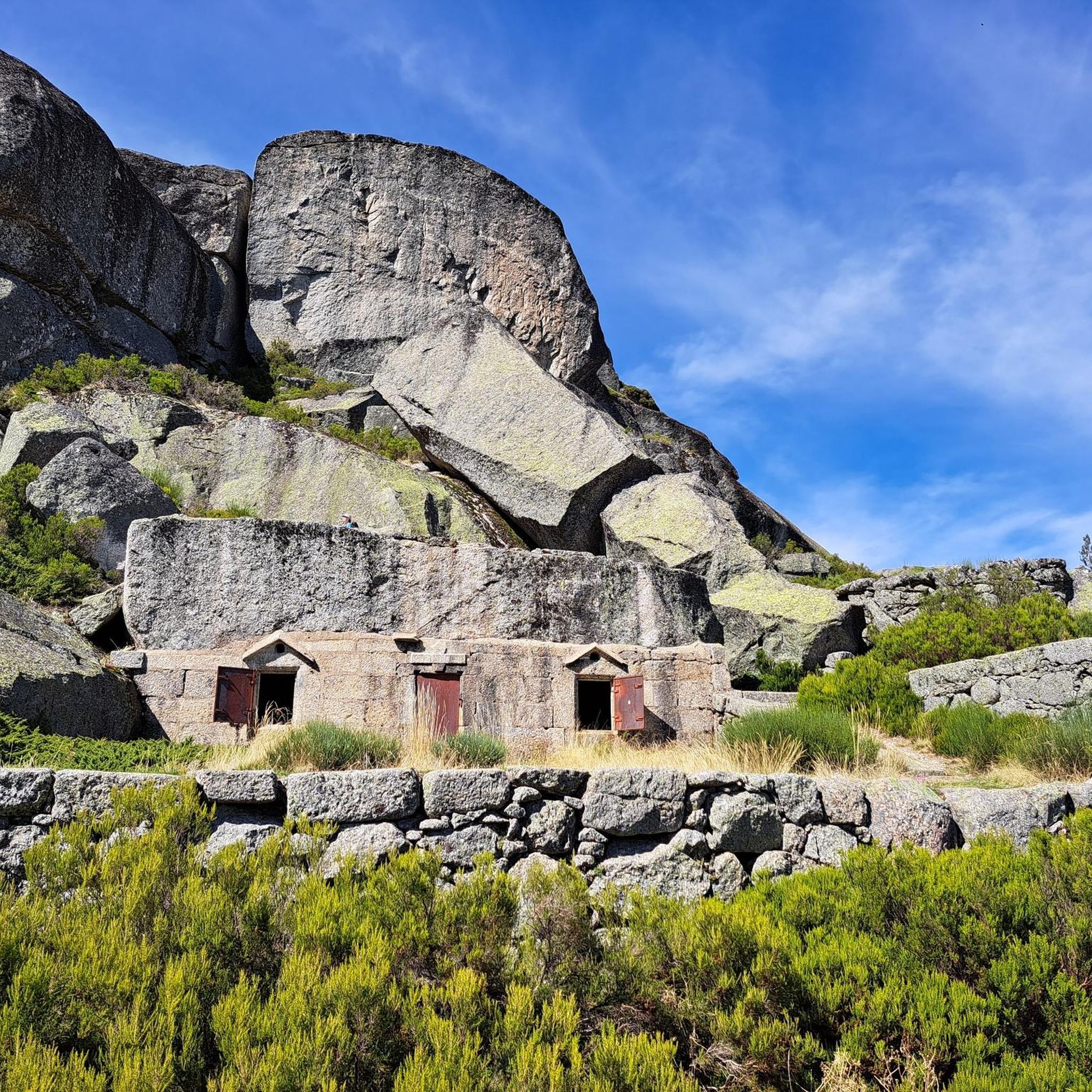
Next to the Nave de Santo António, the Covão do Ferro or Padre Alfredo dam, inaugurated in 1956, uses a glacial cirque and collects water from the Alforfa stream. It was commissioned by Father Alfredo to supply electricity to the wool industry in Unhais da Serra. Unhais da Serra can be seen in the background.
2
0

The Serra da Estrela Natural Park is something truly special. This 1,000-square-kilometer park, spread across six municipalities, was the first and currently the largest protected natural park in Portugal. It is home to the highest point on the Portuguese mainland, the country's only ski slope, the source of two important rivers, and a fascinating, alpine-like landscape formed by glaciers.
5
1

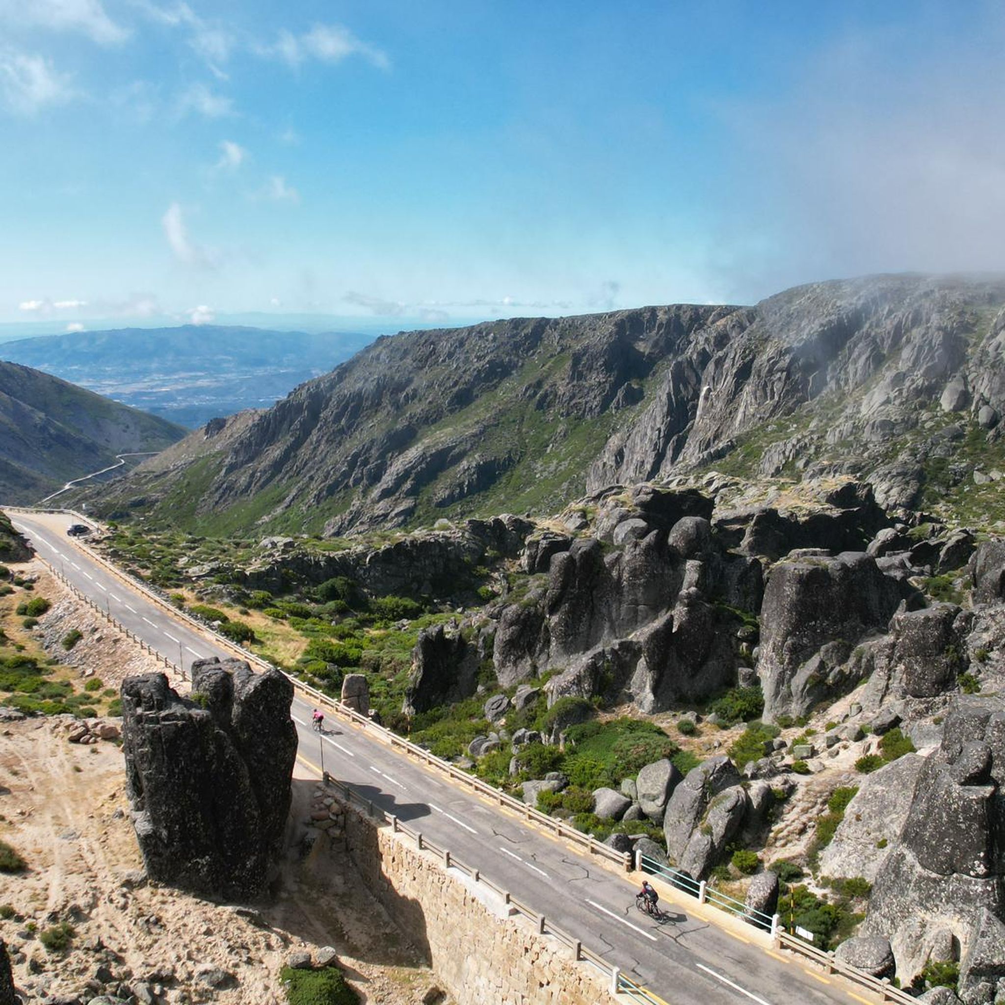
At exactly 1993 meters above sea level, Torre is the highest point in mainland Portugal, where the only ski resort is located. The landscape on the upper plateau of the Serra da Estrela is like a sprinkling of granite rocks over low scrub and patches of snow and ice, which the sun threatens to melt soon in the summer and which always returns the following winter. In winter, it sometimes becomes inaccessible.
6
0

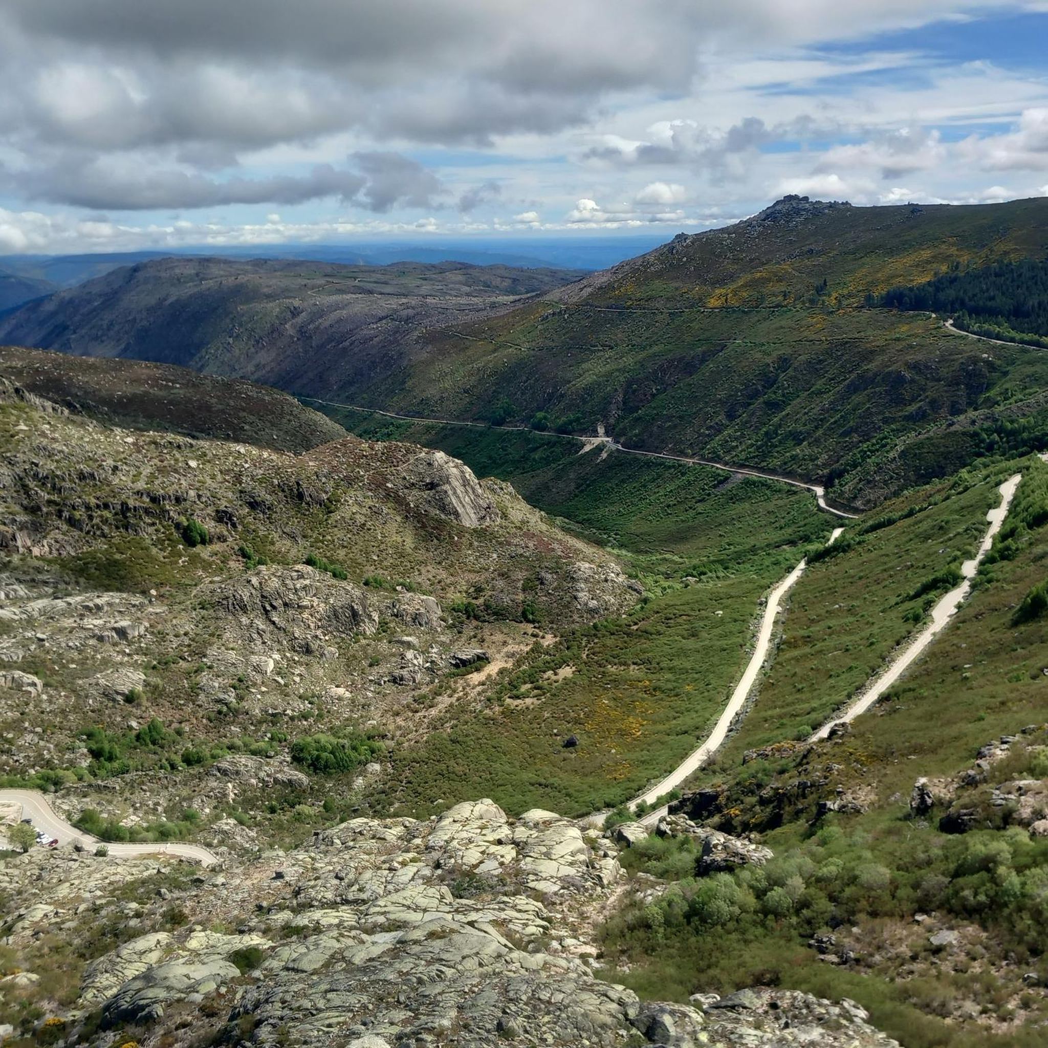
Caminho dos Poios with views of the Vale Glaciar do Zêzere The Caminho dos Poios, or the "Poios" (agricultural terraces) Trail, offers spectacular views of the vast and imposing Vale Glaciar do Zêzere, a masterpiece of nature sculpted by ancient glaciers. This trail winds along the sides of the mountain, offering panoramic views that embrace the entire "U" valley, highlighting its grandeur and the singularity of the landscape. The route allows you to appreciate not only the glacial morphology with its steep walls and moraine deposits, but also the human ingenuity in adapting the territory, as evidenced by the terraces that characterize the landscape in some areas. It is an immersion in the wild beauty of the Serra da Estrela, with the opportunity to contemplate one of its most significant geological treasures.
2
0

As the name suggests, this is a large hollow, an amphitheater sculpted by nature, where a lagoon lies that, on hot summer days, can disappear completely. Even so, the landscape remains stunning, imposing and filled with the overwhelming silence of the mountain.
1
1

Superb route done in snow. Not a very interesting start on the road, but once you're on the trails, it's magnificent all the way to the summit!
2
1

Beautiful panoramic views from the highest point in Portugal. You can ski here in winter, and there is sometimes snow even in summer.
4
0
Highest elevation in Portugal. There is sometimes snow here in the summer. Even in summer you have to wear a jacket on some days.
2
1

komootモバイルアプリでインスピレーションを得よう


さらに探索
他の地域の最高のハイキングを見てみましょう。
